Blackcap Wood

Wood, Forest in Suffolk East Suffolk

England

Blackcap Wood

Sailors' and Fishermen's Bethel, Kessingland
Sailors' and Fishermen's Bethel, Kessingland Credit: Adrian S Pye

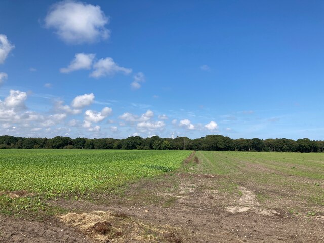
Blackcap Wood is a picturesque forest located in Suffolk, England. It is nestled in the heart of the countryside, providing a tranquil escape for nature lovers and outdoor enthusiasts alike. Spanning approximately 100 acres, this wood is a haven for wildlife and boasts a diverse range of flora and fauna.

The wood is predominantly made up of mature oak and beech trees, which create a dense canopy that filters sunlight and casts a magical atmosphere throughout the woodland. The forest floor is covered with a carpet of vibrant bluebells in the springtime, creating a stunning display of color.

Blackcap Wood is home to a variety of wildlife species, including deer, foxes, badgers, and a wide array of bird species. It is a popular spot for birdwatching, with regular sightings of woodpeckers, owls, and various migratory birds.

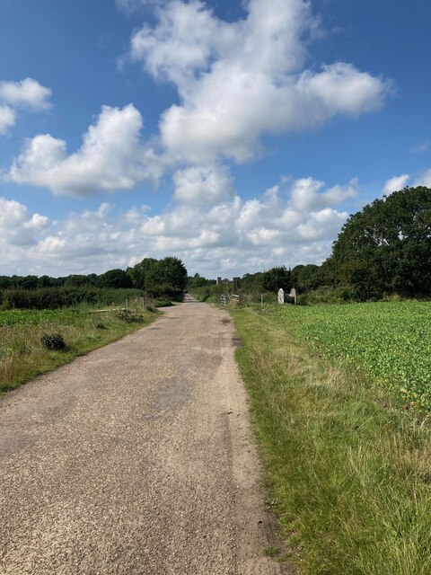
For outdoor enthusiasts, there are several walking trails that wind their way through the wood, offering visitors the chance to explore and immerse themselves in the natural beauty of the surroundings. These paths vary in length and difficulty, catering to both casual strollers and more adventurous hikers.

The wood is well-maintained, with designated picnic areas and benches scattered throughout, allowing visitors to take a break and enjoy a packed lunch amidst the serene surroundings. Additionally, there are information boards at various points, providing educational insights into the history and ecology of the wood.

Overall, Blackcap Wood is a hidden gem in Suffolk, offering a peaceful and enchanting experience for those seeking solace in nature.

If you have any feedback on the listing, please let us know in the comments section below.

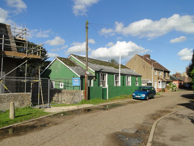
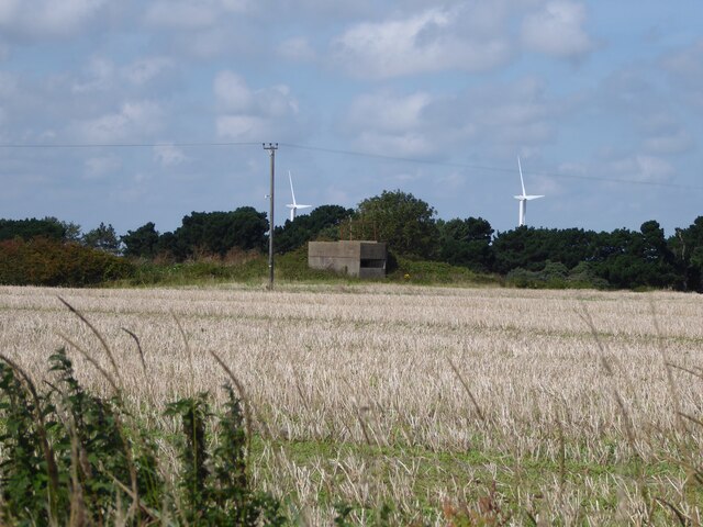
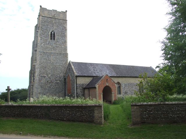
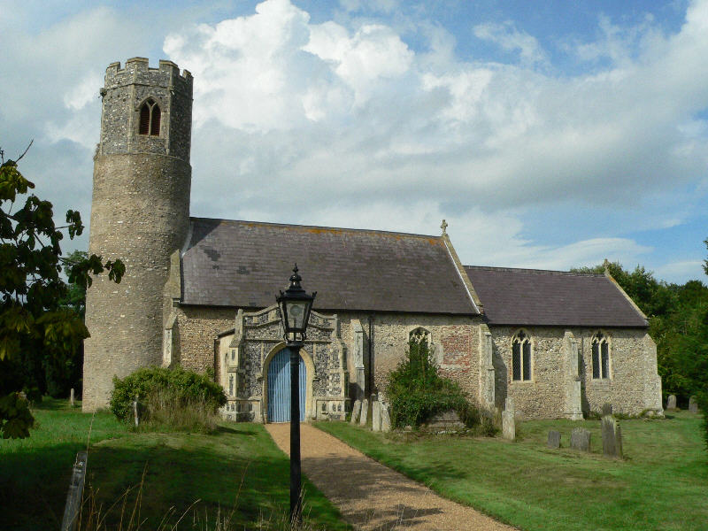
Blackcap Wood Images

Images are sourced within 2km of 52.410314/1.699987 or Grid Reference TM5185. Thanks to Geograph Open Source API. All images are credited.

Sailors' and Fishermen's Bethel, Kessingland
A short example of a crinkle-crankle wall At the entrance to Africa Live
A short example of a crinkle-crankle wall
At the entrance to Africa Live
Serpentine wall at Heritage Green, Kessingland A new wall on a new housing estate
Serpentine wall at Heritage Green, Kessingland
A new wall on a new housing estate
A serpentine wall in Kessingland The wall has left room for a small tree in its concave section.
A serpentine wall in Kessingland
The wall has left room for a small tree in its concave section.
Serpentine wall in Kessingland A serpentine or crinkle-crankle wall was initially designed to save bricks and reduce to cost of building walls. Suffolk seems to be the historical birthplace of the metamorphic remodelling of the straightforward into the curiously peculiar.
A wavy wall can be built with the thickness of a single brick and is self supporting even in very strong winds whereas a straight wall requires a thickness of at least two bricks (9 inches) and even buttresses if raised over about three feet.

Wikipedia has a few words to add: A crinkle crankle wall, also known as a crinkum crankum, slangenmuur  (snake-wall) sinusoidal, serpentine, ribbon or wavy wall, is an unusual type of structural or garden wall built in a serpentine shape with alternating curves, originally used in Ancient Egypt, but also typically found in Suffolk in England.
The alternate convex and concave curves in the wall provide stability and help it to resist lateral forces,  leading to greater strength than a straight wall of the same thickness of bricks without the need for buttresses.
The phrase "crinkle crankle" is an ablaut reduplication, defined as something with bends and turns, first attested in 1598 (though "crinkle" and "crankle" have somewhat longer histories).
Serpentine wall in Kessingland
A serpentine or crinkle-crankle wall was initially designed to save bricks and reduce to cost of building walls. Suffolk seems to be the historical birthplace of the metamorphic remodelling of the straightforward into the curiously peculiar. A wavy wall can be built with the thickness of a single brick and is self supporting even in very strong winds whereas a straight wall requires a thickness of at least two bricks (9 inches) and even buttresses if raised over about three feet. Wikipedia has a few words to add: A crinkle crankle wall, also known as a crinkum crankum, slangenmuur (snake-wall) sinusoidal, serpentine, ribbon or wavy wall, is an unusual type of structural or garden wall built in a serpentine shape with alternating curves, originally used in Ancient Egypt, but also typically found in Suffolk in England. The alternate convex and concave curves in the wall provide stability and help it to resist lateral forces, leading to greater strength than a straight wall of the same thickness of bricks without the need for buttresses. The phrase "crinkle crankle" is an ablaut reduplication, defined as something with bends and turns, first attested in 1598 (though "crinkle" and "crankle" have somewhat longer histories).
Looking towards Amos's Skirts plantation The blades of the wind turbines are just visible above the trees
Looking towards Amos's Skirts plantation
The blades of the wind turbines are just visible above the trees
Looking towards Benacre Church
Looking towards Hall Farm
Pillbox near Beach Farm, Benacre I believe this is a Vickers Machine Gun Pillbox dating from WWII: <span class="nowrap"><a title="https://www.tracesofwar.com/sights/23917/Vickers-MG-Pillbox-Benacre.htm" rel="nofollow ugc noopener" href="https://www.tracesofwar.com/sights/23917/Vickers-MG-Pillbox-Benacre.htm">Link</a><img style="margin-left:2px;" alt="External link" title="External link - shift click to open in new window" src="https://s1.geograph.org.uk/img/external.png" width="10" height="10"/></span>
Pillbox near Beach Farm, Benacre
I believe this is a Vickers Machine Gun Pillbox dating from WWII: LinkExternal link
Kessingland Church Seen in the distance from the Suffolk Coast Path near Benacre
Kessingland Church
Seen in the distance from the Suffolk Coast Path near Benacre
Church of St. Edmund, Kessingland <span class="nowrap"><a title="https://historicengland.org.uk/listing/the-list/list-entry/1182858?section=official-list-entry" rel="nofollow ugc noopener" href="https://historicengland.org.uk/listing/the-list/list-entry/1182858?section=official-list-entry">Link</a><img style="margin-left:2px;" alt="External link" title="External link - shift click to open in new window" src="https://s1.geograph.org.uk/img/external.png" width="10" height="10"/></span>
Church of St. Edmund, Kessingland
Water Tower and Allotments at Kessingland
An older style property in Kessingland
Sailors Home, Kessingland
Primrose Lane
Primrose Lane
Three Small Wind Turbines at Chestnuts Farm
Path Under the A12
Path Under the A12
Giraffes at Africa Wild
Show me another place!

Blackcap Wood is located at Grid Ref: TM5185 (Lat: 52.410314, Lng: 1.699987)

Administrative County: Suffolk

District: East Suffolk

Police Authority: Suffolk

What 3 Words

///innovator.eating.trappings. Near Kessingland, Suffolk

Related Wikis

Africa Alive!

Africa Alive! Zoological Reserve, formerly known as Africa Alive! and Suffolk Wildlife Park, is a zoo located in Kessingland, Suffolk, UK. It is situated...

The Sunrise Coast

The Sunrise Coast is a stretch of tourist coastline in the English county of Suffolk. The area includes the seaside resort towns of Lowestoft and Southwold...

Benacre, Suffolk

Benacre is a village and civil parish in the East Suffolk district of the English county of Suffolk. The village is located about 5+3⁄4 miles (9 km) south...

Kessingland

Kessingland is a village and civil parish in the East Suffolk district of the English county of Suffolk. It is located around 4 miles (6 km) south of Lowestoft...

Henstead

Henstead is a village near Kessingland and the A12 in the civil parish of Henstead with Hulver Street, in the county of Suffolk, England. It has a church...

Rushmere, north Suffolk

Rushmere is a village and civil parish in the East Suffolk district of the English county of Suffolk. The village is around 5 miles (8.0 km) south-west...

Benacre Broad

Benacre Broad is an isolated coastal lagoon on the North Sea coast of the English county of Suffolk. It is located in the parish of Benacre around 1⁄2...

Gisleham

Gisleham is a village and civil parish in the English county of Suffolk. It is on the edge of Lowestoft, around 4.5 miles (7.2 km) south-west of the town...

Nearby Amenities

Located within 500m of 52.410314,1.699987
Generator Method: wind_turbine
Generator Source: wind
Generator Type: horizontal_axis
Power: generator
Lat/Long: 52.4136828/1.7041735
Crossing
Crossing: zebra
Lat/Long: 52.4139458/1.7008512
Turning Circle
Lat/Long: 52.4140558/1.701661
The data included in this document is from www.openstreetmap.org. The data is made available under ODbL.

Have you been to Blackcap Wood?

Leave your review of Blackcap Wood below (or comments, questions and feedback).