Acle Marshes
Coastal Marsh, Saltings in Norfolk Broadland
England
Acle Marshes
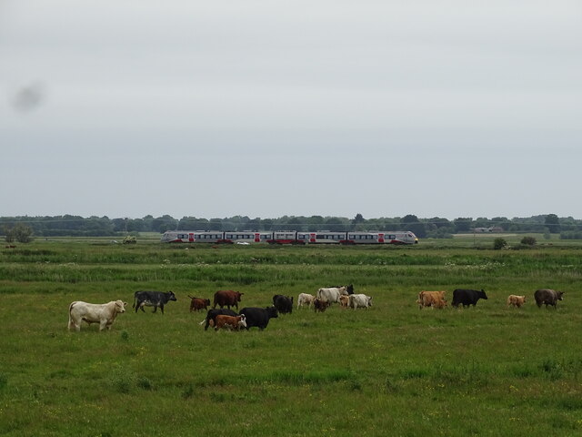
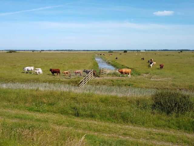
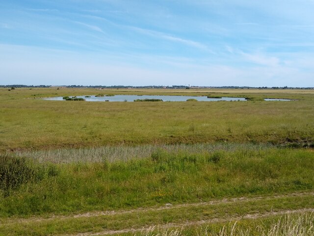
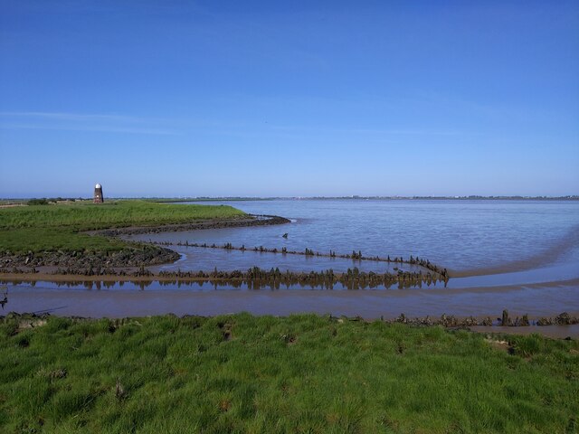
Acle Marshes is a coastal wetland located in Norfolk, England. Covering an area of approximately 1,200 hectares, it is a designated Site of Special Scientific Interest (SSSI) due to its rich ecological value and diverse range of habitats.
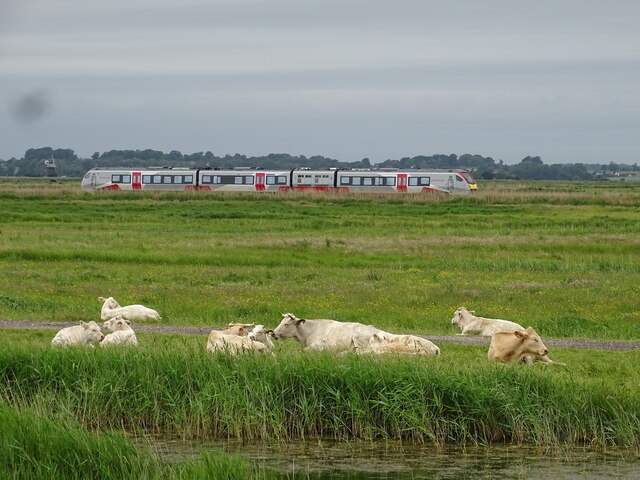
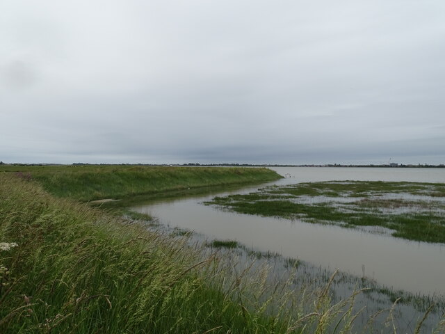
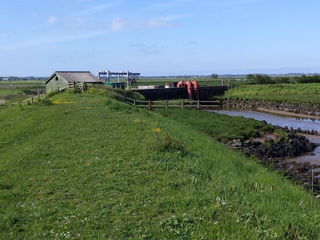
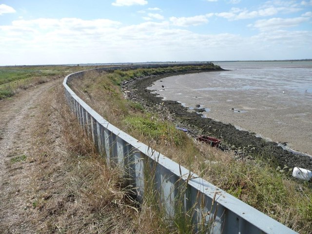
The marshes are characterized by a combination of freshwater marsh, salt marsh, and tidal mudflats. The area is crisscrossed by a network of drainage channels and ditches, which help maintain the delicate balance of water levels and support a variety of plant and animal species.
In terms of vegetation, Acle Marshes boast a remarkable array of plant life. Saltmarsh grasses such as sea aster and sea purslane thrive in the saline conditions found closer to the coast, while further inland, reed beds and sedge meadows dominate the landscape. These habitats provide crucial breeding grounds and feeding areas for numerous bird species, including marsh harriers, bitterns, and bearded tits.
The marshes also attract a wealth of invertebrate life, with various species of dragonflies, butterflies, and beetles making their home here. Additionally, the mudflats serve as a vital feeding ground for wading birds, such as redshanks and curlews, which can be seen probing the sediment for food during low tide.
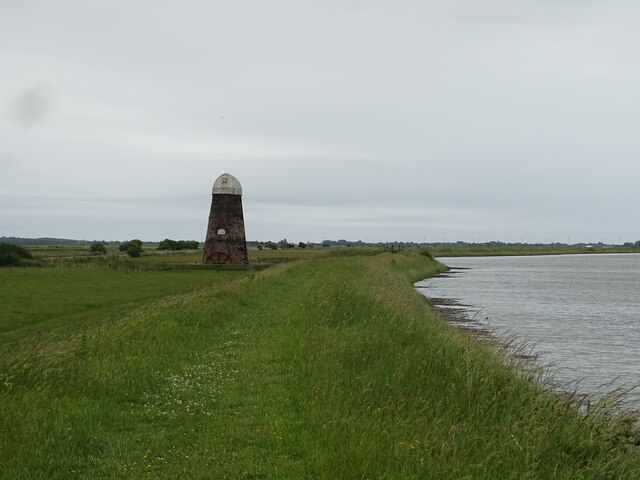
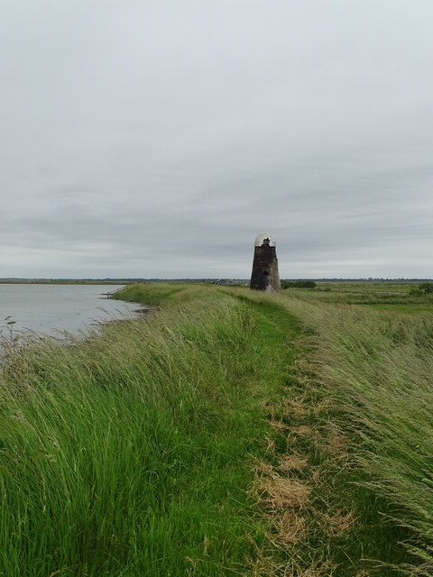
Acle Marshes offer visitors a chance to explore the unique coastal landscape of Norfolk. Several footpaths and bird hides have been established, allowing visitors to observe and appreciate the diverse wildlife in a serene and unspoiled environment.
If you have any feedback on the listing, please let us know in the comments section below.
Acle Marshes Images
Images are sourced within 2km of 52.610905/1.6642024 or Grid Reference TG4807. Thanks to Geograph Open Source API. All images are credited.
Acle Marshes is located at Grid Ref: TG4807 (Lat: 52.610905, Lng: 1.6642024)
Administrative County: Norfolk
District: Broadland
Police Authority: Norfolk
What 3 Words
///lengthen.sues.salsa. Near Great Yarmouth, Norfolk
Nearby Locations
Related Wikis

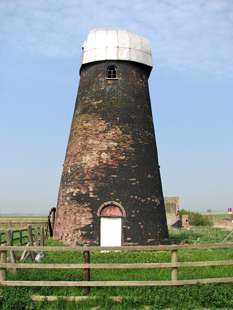
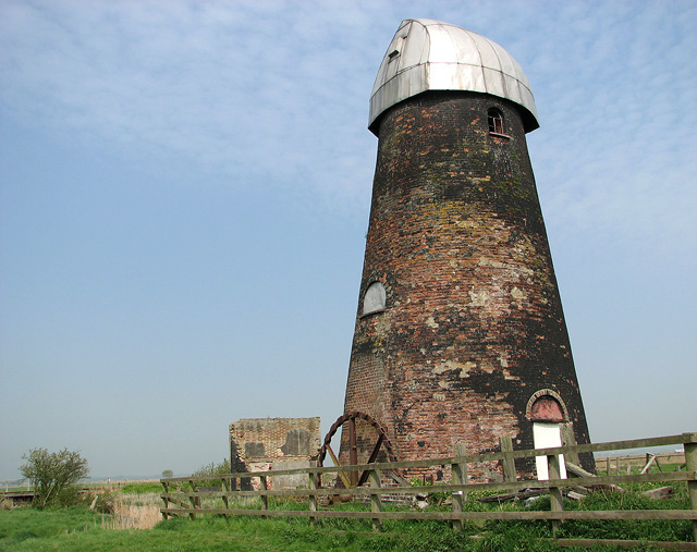
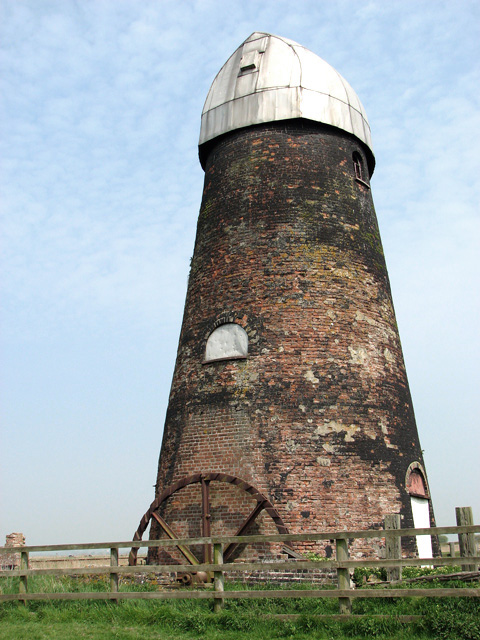
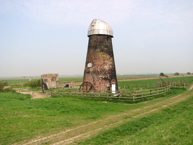
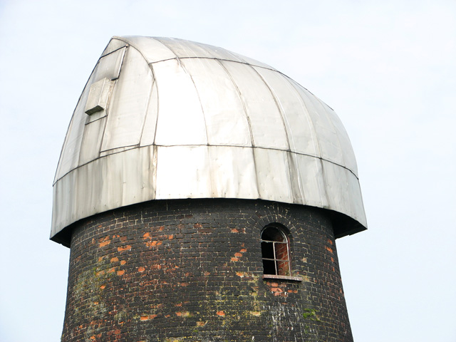
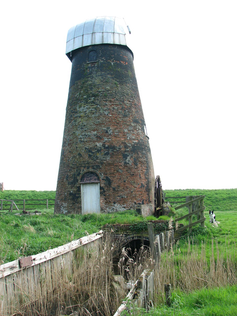
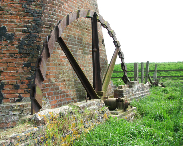
Lockgate Mill
Lockgate Mill also referred to locally and historically as Freethorpe Mill, 'Banham's Black Mill' and 'Duffel's Mill' is a windpump located on the Halvergate...

Nowhere, Norfolk
According to 19th-century directories, Nowhere or No-Where is a marshy area by the River Bure where the villagers of Acle, Norfolk had salt-pans to produce...
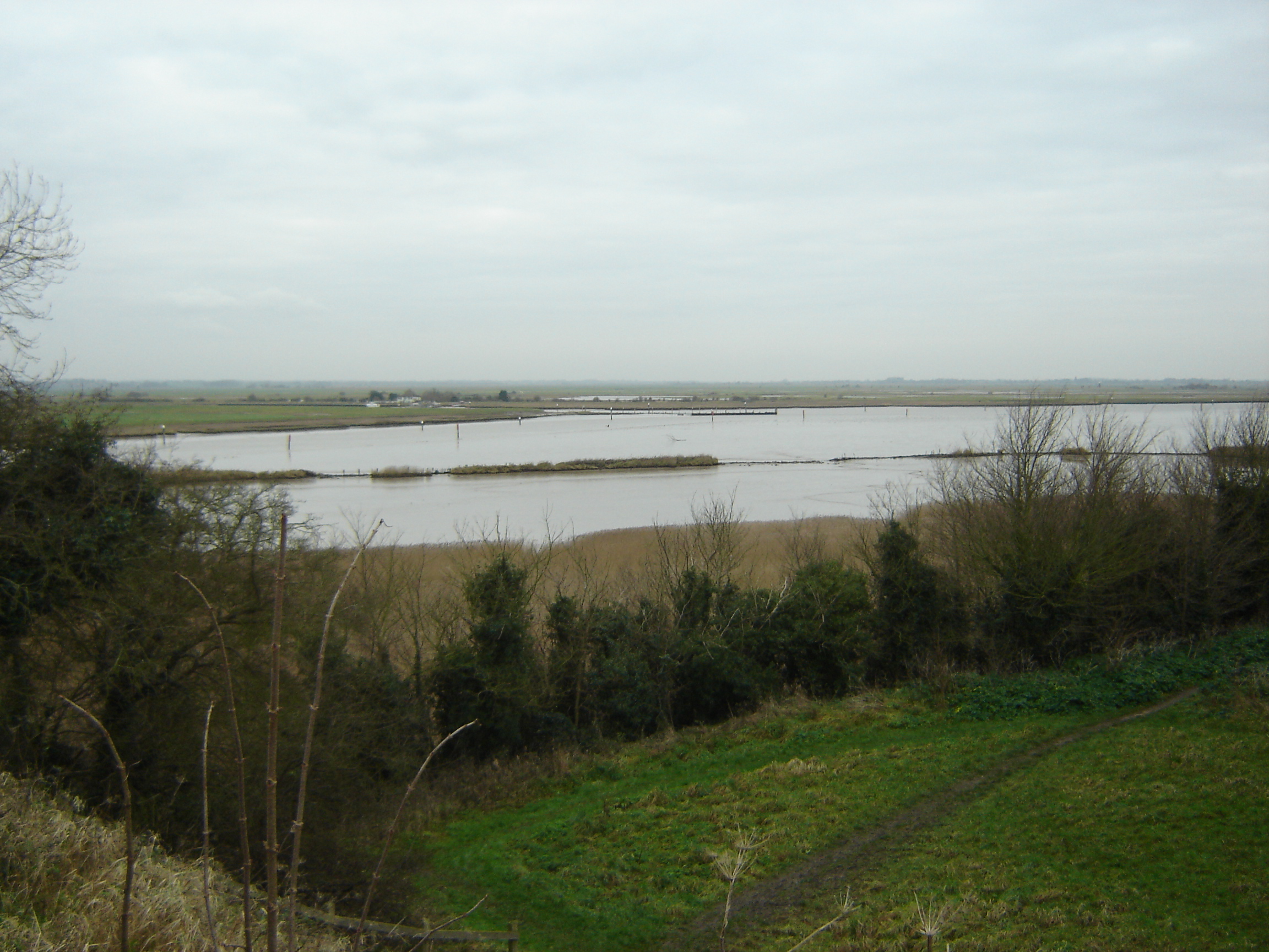
Breydon Water
Breydon Water is a 514.4-hectare (1,271-acre) biological Site of Special Scientific Interest at Great Yarmouth, Norfolk. It is a Local Nature Reserve,...
Bombardment of Yarmouth and Lowestoft
The Bombardment of Yarmouth and Lowestoft, often referred to as the Lowestoft Raid, was a naval battle fought during the First World War between the German...

Burgh Castle
Burgh Castle is a village and civil parish in the English county of Norfolk. It is situated on the east bank of the River Waveney, some 3.7 miles (6.0...

Berney Arms
Berney Arms is a settlement on the north bank of the River Yare, close to Breydon Water in the English county of Norfolk. It is part of the civil parish...

River Yare
The River Yare is a river in the English county of Norfolk. In its lower reaches it is one of the principal navigable waterways of The Broads and connects...

Berney Arms railway station
Berney Arms railway station is on the Wherry Lines in the East of England, serving the settlement of Berney Arms on the Halvergate Marshes in Norfolk....
Have you been to Acle Marshes?
Leave your review of Acle Marshes below (or comments, questions and feedback).