Fishley Marshes
Coastal Marsh, Saltings in Norfolk Broadland
England
Fishley Marshes
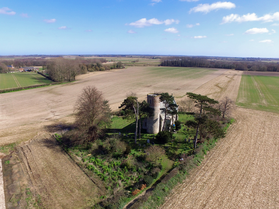
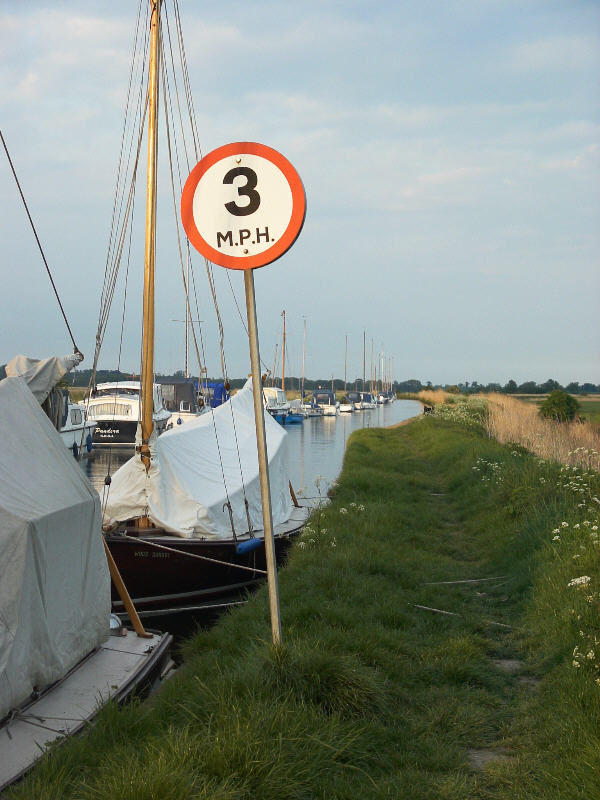
Fishley Marshes, located in Norfolk, England, is a coastal marshland characterized by its unique and diverse ecosystem. Covering an area of approximately 200 hectares, Fishley Marshes is known for its saltmarshes, also known as saltings, which are formed by the deposition of sediment carried by tidal waters.
The marshes are situated along the coastline of the North Sea, making it a prime habitat for various species of plants and animals adapted to the coastal environment. The vegetation in the area is dominated by halophytes, plants that are tolerant of high salt concentrations in the soil. Common plant species found in Fishley Marshes include sea purslane, sea aster, and glasswort.
The marshes are not only important for their biodiversity, but also serve as an important habitat for migratory birds. Various species of wading birds, such as redshanks, avocets, and lapwings, can be spotted in the area, especially during the winter months when the marshes provide a vital feeding ground for these birds.
Fishley Marshes also play a significant role in flood prevention and coastal erosion control. The saltmarshes act as a natural barrier, absorbing wave energy and reducing the risk of flooding during high tides and storm events.
In recent years, efforts have been made to protect and conserve Fishley Marshes. The area is managed by various conservation organizations, and access is provided to visitors through a network of footpaths and bird hides, allowing people to appreciate and learn about the unique ecosystem and wildlife that thrives in this coastal marshland.
If you have any feedback on the listing, please let us know in the comments section below.
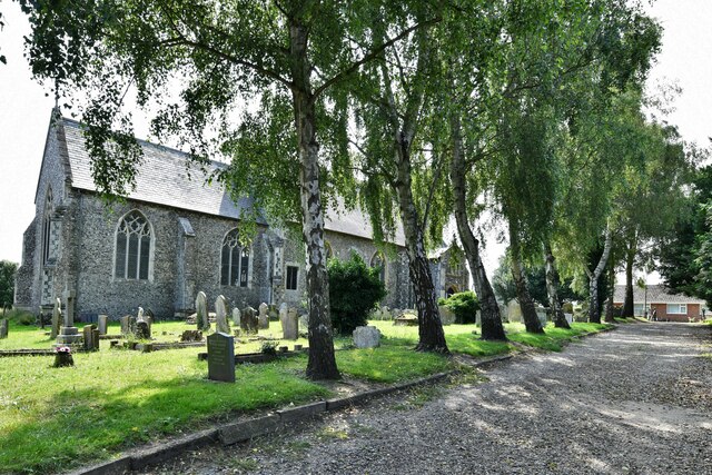
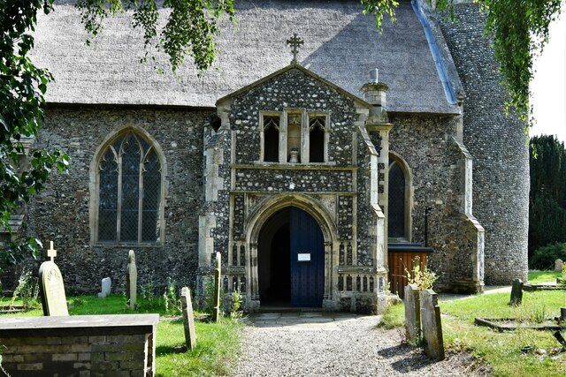
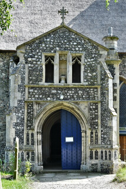
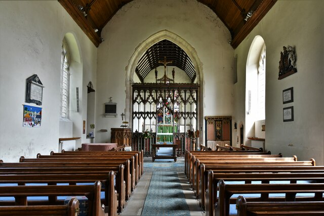
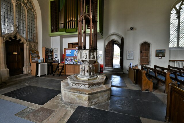
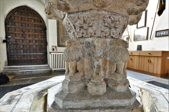
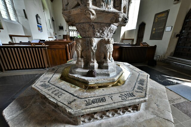
Fishley Marshes Images
Images are sourced within 2km of 52.651401/1.5532102 or Grid Reference TG4011. Thanks to Geograph Open Source API. All images are credited.


Fishley Marshes is located at Grid Ref: TG4011 (Lat: 52.651401, Lng: 1.5532102)
Administrative County: Norfolk
District: Broadland
Police Authority: Norfolk
What 3 Words
///likewise.blown.sport. Near Acle, Norfolk
Nearby Locations
Related Wikis

Upton with Fishley
Upton with Fishley is a civil parish in the English county of Norfolk, consisting of the former parishes of Upton and Fishley. It covers an area of 8.93...
Fishley
Fishley is a village in the English county of Norfolk, forming part of the civil parish of Upton with Fishley. The village is located 0.5 miles (0.80 km...

Palmer's Drainage Windmill
Palmer's Drainage Windmill is located to the north of Upton Dyke close to the village of Upton in the English county of Norfolk. Upton Dyke runs westerly...
Upton, Norfolk
Upton is a village on the River Bure in Norfolk, England within the Broads national park. The villages name means 'higher farm/settlement'.Administratively...
Acle Academy
The Acle Academy, formerly known as Acle High School, is a secondary school which is located in Acle, Norfolk, England. This is in the centre of the Norfolk...

Acle
Acle ( AY-kəl) is a market town on the River Bure on the Norfolk Broads in Norfolk, located halfway between Norwich and Great Yarmouth. It has the only...
Acle railway station
Acle railway station is on the Wherry Lines in the east of England, serving the town of Acle, Norfolk. It is 10 miles 34 chains (16.8 km) down the line...

Upton Fen
Upton Fen lies within The Broads National Park in Norfolk, England.It is a nature reserve in the care of Norfolk Wildlife Trust. Notable species found...
Nearby Amenities
Located within 500m of 52.651401,1.5532102Have you been to Fishley Marshes?
Leave your review of Fishley Marshes below (or comments, questions and feedback).