Fishley
Settlement in Norfolk Broadland
England
Fishley
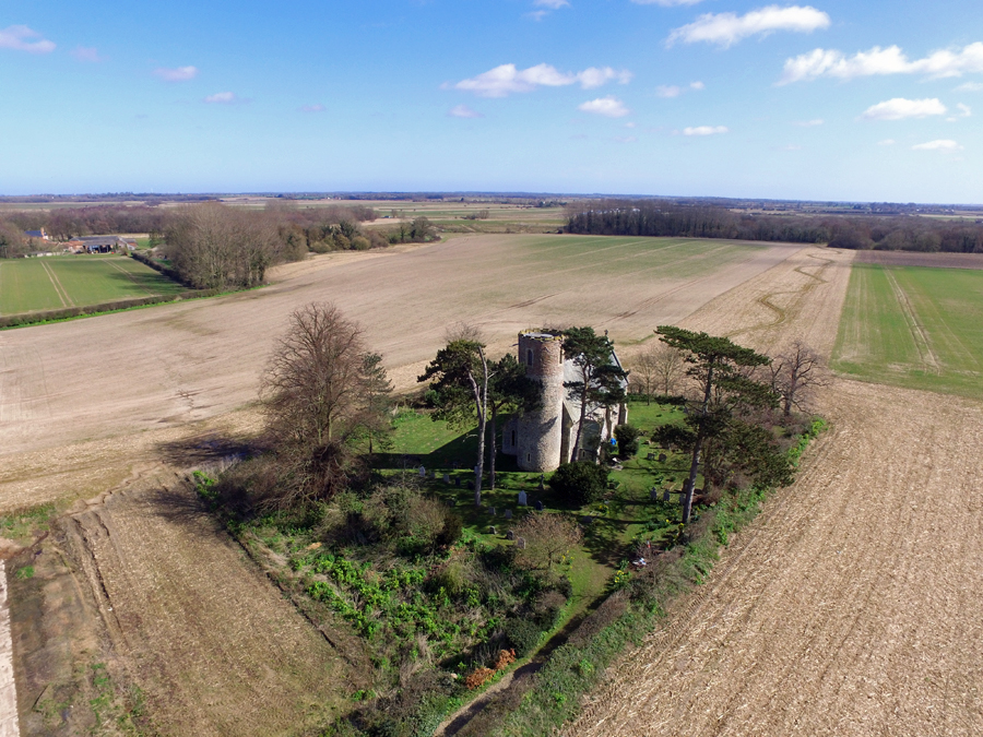
Fishley is a small village located in the county of Norfolk, England. Situated approximately 10 miles west of the city of Norwich, it falls within the Broadland district. The village is nestled amidst the picturesque Norfolk countryside, characterized by its rolling fields, meandering rivers, and tranquil atmosphere.
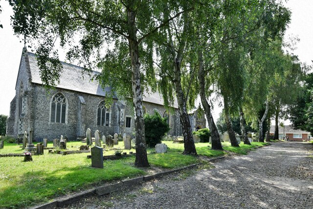
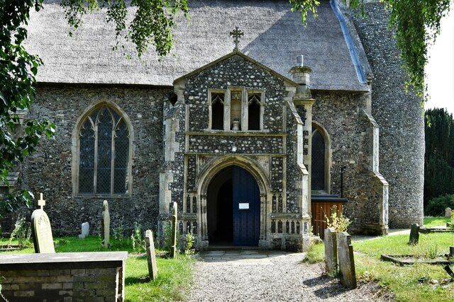
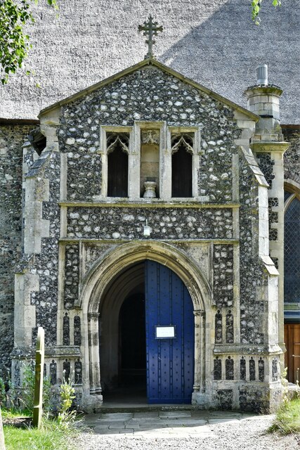
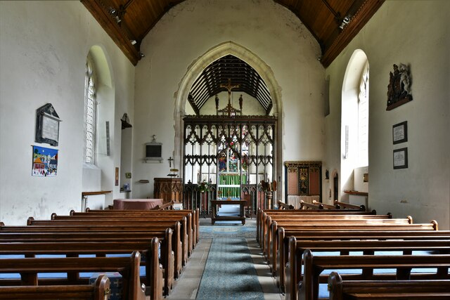
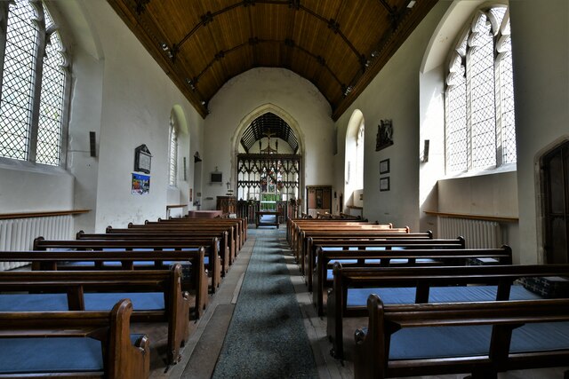
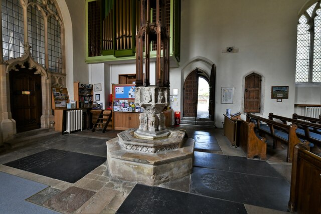
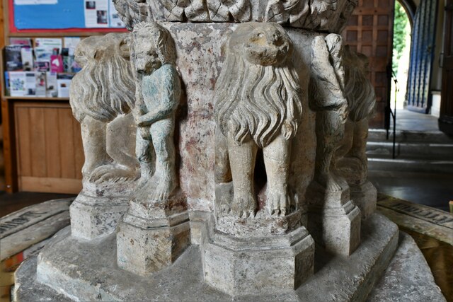
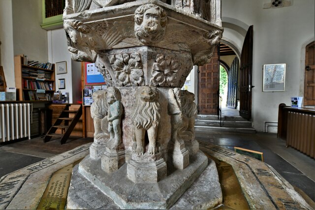
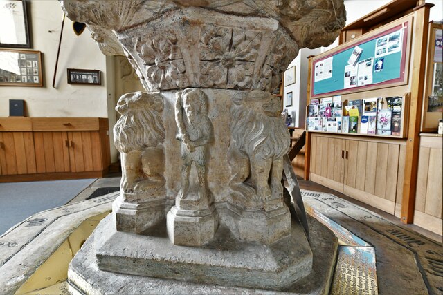
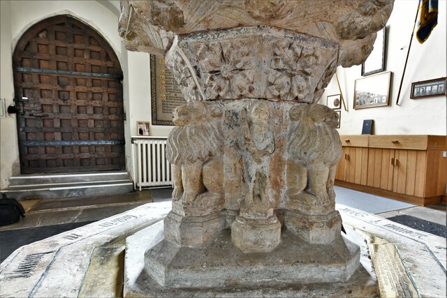
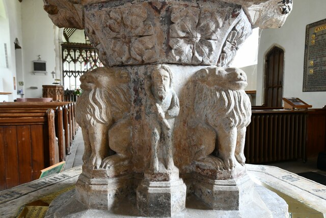
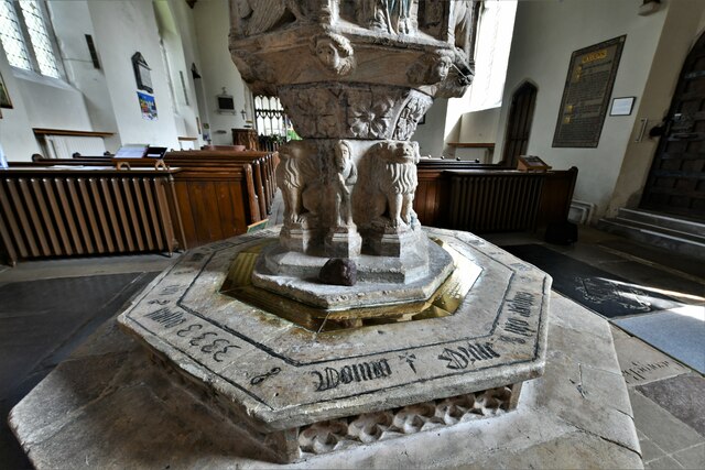
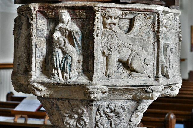
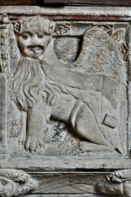
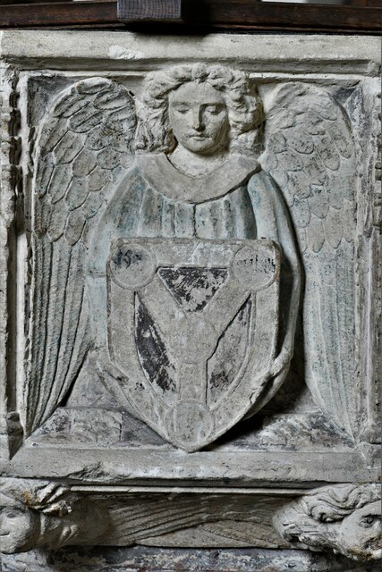
With a population of only around 100 residents, Fishley boasts a close-knit community that takes pride in its rural heritage. The village is known for its charming thatched cottages, which are a prominent feature of its architectural landscape. The St. Mary's Church, a Grade I listed building, stands as a historic centerpiece, showcasing a mix of architectural styles dating back to the 14th century.
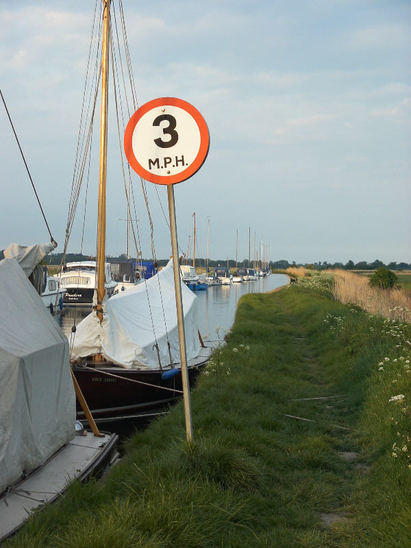
Despite its small size, Fishley enjoys a rich natural environment. The village is surrounded by idyllic farmland, where crops such as wheat, barley, and sugar beet are cultivated. The nearby River Bure, a navigable waterway, offers opportunities for boating and fishing.
While Fishley itself lacks extensive amenities, it benefits from its proximity to larger towns and cities. The bustling market town of Acle, situated just a few miles away, provides essential services such as shops, schools, and healthcare facilities. Norwich, with its vibrant city life and cultural attractions, is also easily accessible.
Fishley offers a peaceful retreat for those seeking a tranquil countryside setting, with its quaint charm and beautiful natural surroundings. It is a place where residents and visitors alike can immerse themselves in the beauty of rural Norfolk.
If you have any feedback on the listing, please let us know in the comments section below.
Fishley Images
Images are sourced within 2km of 52.643609/1.5461162 or Grid Reference TG4011. Thanks to Geograph Open Source API. All images are credited.


Fishley is located at Grid Ref: TG4011 (Lat: 52.643609, Lng: 1.5461162)
Administrative County: Norfolk
District: Broadland
Police Authority: Norfolk
What 3 Words
///quietly.likely.mango. Near Acle, Norfolk
Nearby Locations
Related Wikis

Acle Academy
The Acle Academy, formerly known as Acle High School, is a secondary school which is located in Acle, Norfolk, England. This is in the centre of the Norfolk...
Fishley
Fishley is a village in the English county of Norfolk, forming part of the civil parish of Upton with Fishley. The village is located 0.5 miles (0.80 km...
Acle
Acle ( AY-kəl) is a market town on the River Bure on the Norfolk Broads in Norfolk, located halfway between Norwich and Great Yarmouth. It has the only...
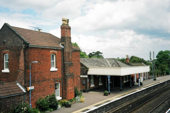
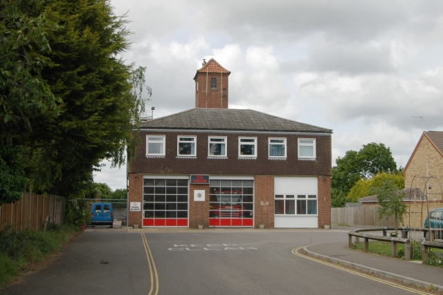
Acle railway station
Acle railway station is on the Wherry Lines in the east of England, serving the town of Acle, Norfolk. It is 10 miles 34 chains (16.8 km) down the line...
Upton with Fishley
Upton with Fishley is a civil parish in the English county of Norfolk, consisting of the former parishes of Upton and Fishley. It covers an area of 8.93...

Blofield and Flegg Rural District
Blofield and East and West Flegg Rural Districts were adjacent rural districts in Norfolk, England from 1894 to 1935.They were formed under the Local Government...

Palmer's Drainage Windmill
Palmer's Drainage Windmill is located to the north of Upton Dyke close to the village of Upton in the English county of Norfolk. Upton Dyke runs westerly...
Upton, Norfolk
Upton is a village on the River Bure in Norfolk, England within the Broads national park. The villages name means 'higher farm/settlement'.Administratively...
Nearby Amenities
Located within 500m of 52.643609,1.5461162Have you been to Fishley?
Leave your review of Fishley below (or comments, questions and feedback).