Fishley Carrs
Wood, Forest in Norfolk Broadland
England
Fishley Carrs
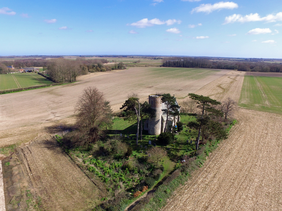
Fishley Carrs is a picturesque woodland area located in the county of Norfolk, England. Situated near the village of Fishley, it covers an expansive area of approximately 150 acres. The woodland is characterized by its dense canopy of trees, predominantly consisting of native species such as oak, birch, and beech.
The Carrs, as it is commonly known locally, is renowned for its natural beauty and rich biodiversity. It serves as a vital habitat for a wide range of flora and fauna, including several rare and protected species. The forest floor is carpeted with an array of wildflowers, creating a vibrant and colorful landscape during the spring and summer months.
The woodland is intersected by a network of well-maintained trails, making it a popular destination for nature lovers, hikers, and birdwatchers. The trails provide visitors with the opportunity to explore the diverse ecosystem, observe wildlife, and appreciate the tranquility of the surroundings.
In addition to its natural attractions, Fishley Carrs also holds historical significance. The area has evidence of past human activity, with remnants of ancient settlements and archaeological finds dating back centuries. These historical remnants add an extra layer of intrigue and fascination to the woodland, making it a destination of interest for history enthusiasts.
Overall, Fishley Carrs offers a tranquil retreat for those seeking to immerse themselves in the beauty of nature. With its diverse flora and fauna, well-maintained trails, and historical significance, it is a destination that appeals to a wide range of interests and provides a unique experience for visitors to Norfolk.
If you have any feedback on the listing, please let us know in the comments section below.
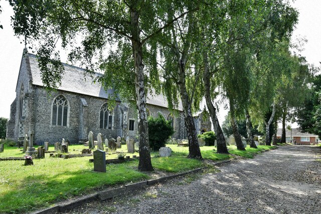
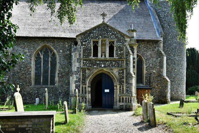
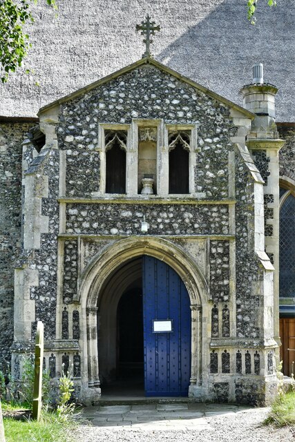
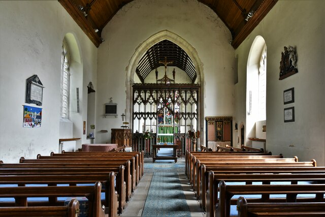
Fishley Carrs Images
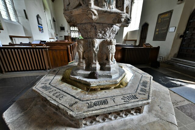
Images are sourced within 2km of 52.643604/1.5513651 or Grid Reference TG4011. Thanks to Geograph Open Source API. All images are credited.


Fishley Carrs is located at Grid Ref: TG4011 (Lat: 52.643604, Lng: 1.5513651)
Administrative County: Norfolk
District: Broadland
Police Authority: Norfolk
What 3 Words
///streamers.dislodge.tinsel. Near Acle, Norfolk
Nearby Locations
Related Wikis
Fishley
Fishley is a village in the English county of Norfolk, forming part of the civil parish of Upton with Fishley. The village is located 0.5 miles (0.80 km...
Acle
Acle ( AY-kəl) is a market town on the River Bure on the Norfolk Broads in Norfolk, located halfway between Norwich and Great Yarmouth. It has the only...

Acle Academy
The Acle Academy, formerly known as Acle High School, is a secondary school which is located in Acle, Norfolk, England. This is in the centre of the Norfolk...
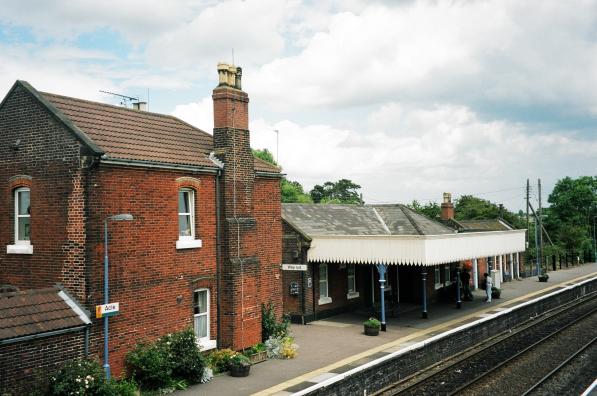
Acle railway station
Acle railway station is on the Wherry Lines in the east of England, serving the town of Acle, Norfolk. It is 10 miles 34 chains (16.8 km) down the line...
Nearby Amenities
Located within 500m of 52.643604,1.5513651Have you been to Fishley Carrs?
Leave your review of Fishley Carrs below (or comments, questions and feedback).