Horse Marsh
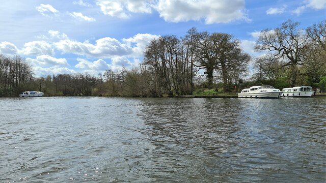
Coastal Marsh, Saltings in Norfolk Broadland
England
Horse Marsh
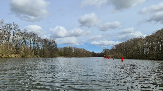
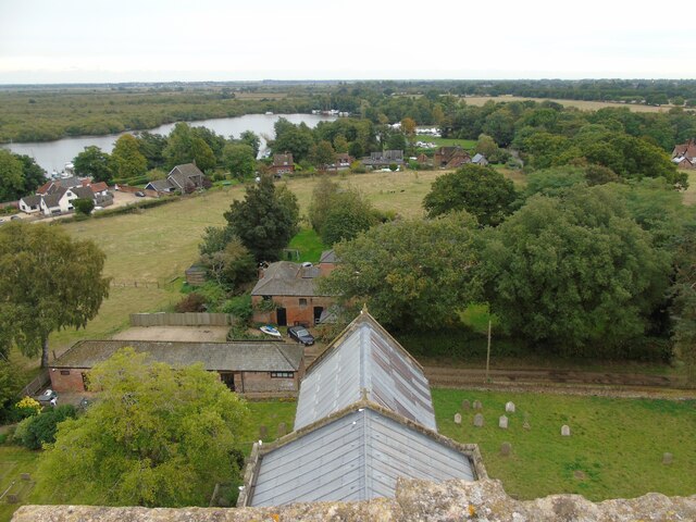
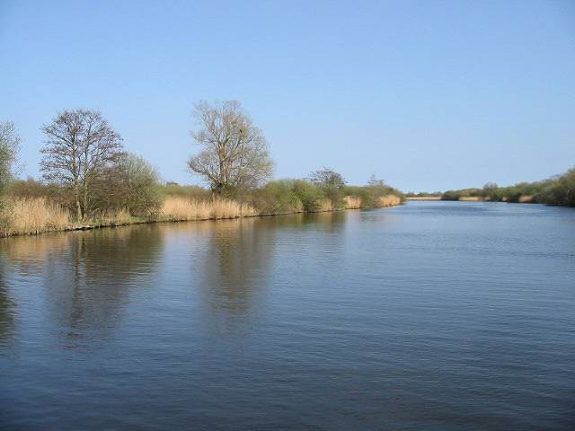
Horse Marsh is a coastal marshland located in Norfolk, England. Stretching along the coastline, it is part of a larger area known as the Norfolk Coastal Marshes. This unique landscape consists of vast expanses of marshlands and saltings, which are intertidal areas of saltmarsh.
Horse Marsh is characterized by its diverse ecosystem, offering a variety of habitats for both flora and fauna. The marshland is predominantly covered by salt-tolerant vegetation, such as sea lavender, cordgrass, and samphire, which thrive in the saline conditions. These plants provide important food and shelter for numerous bird species, making the area a popular spot for birdwatching enthusiasts.
The marshland is also home to a range of animal species, including the rare natterjack toad and a variety of insects and invertebrates. The shallow waters of the marshes support a rich marine life as well, with fish, crabs, and other small creatures inhabiting the area.
Aside from its ecological significance, Horse Marsh also plays a vital role in coastal protection. The marsh acts as a natural buffer against storms and tidal surges, absorbing and dissipating the energy of the waves, which helps protect the surrounding land from erosion.
Visitors to Horse Marsh can explore the area through a network of footpaths and trails, which offer breathtaking views of the marshlands and the sea beyond. The marshland is a designated Site of Special Scientific Interest (SSSI) and is managed and protected by various conservation organizations to preserve its unique natural features.
If you have any feedback on the listing, please let us know in the comments section below.
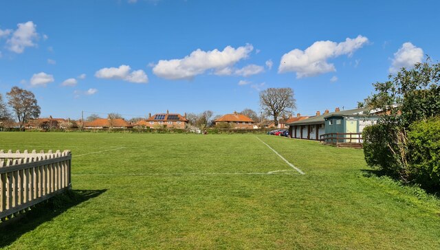
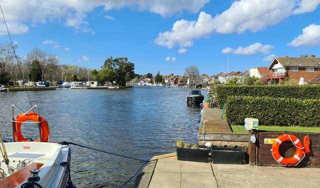
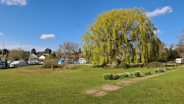
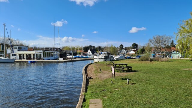
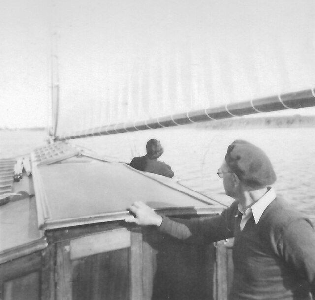
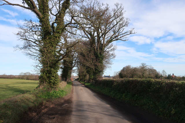
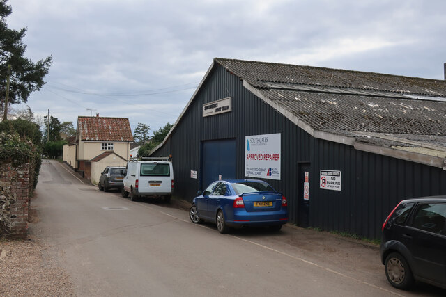
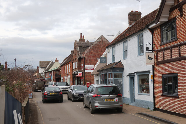
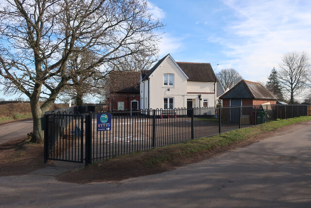
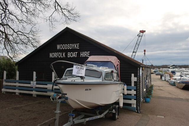
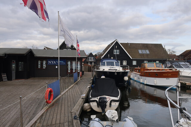
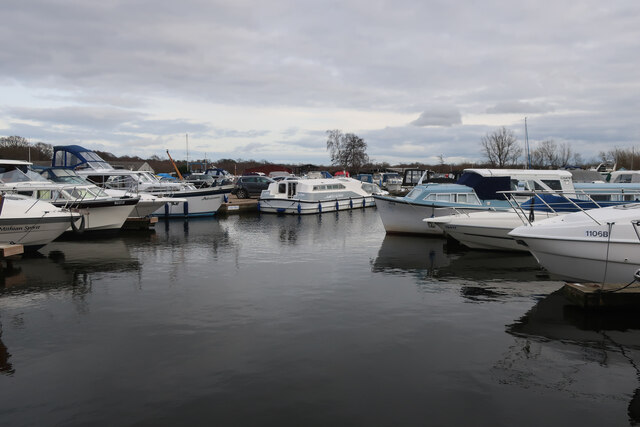
Horse Marsh Images
Images are sourced within 2km of 52.690368/1.4619833 or Grid Reference TG3415. Thanks to Geograph Open Source API. All images are credited.


Horse Marsh is located at Grid Ref: TG3415 (Lat: 52.690368, Lng: 1.4619833)
Administrative County: Norfolk
District: Broadland
Police Authority: Norfolk
What 3 Words
///quest.mend.tenses. Near Horning, Norfolk
Nearby Locations
Related Wikis

Cockshoot Broad
Cockshoot Broad is a 5-hectare (12-acre) nature reserve north-east of Norwich in Norfolk. It is managed by the Norfolk Wildlife Trust. It is part of the...
Bure Broads and Marshes
Bure Broads and Marshes is a 741.1-hectare (1,831-acre) biological Site of Special Scientific Interest north-east of Norwich in Norfolk. Most of it is...
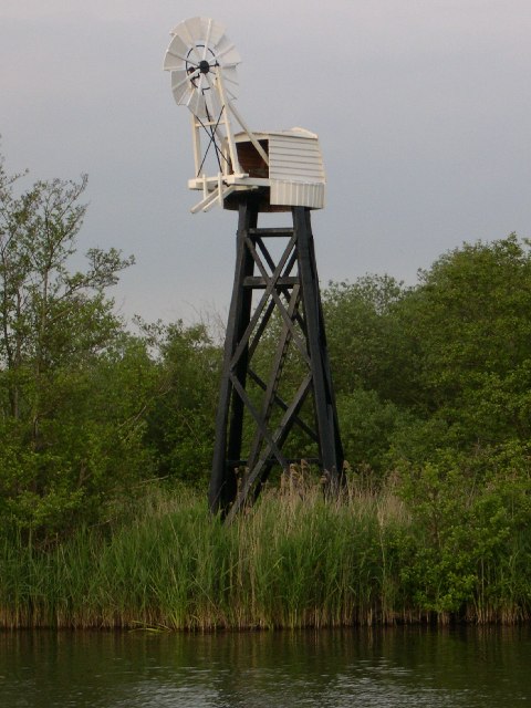
Hobb's Mill
Hobb's Mill, also known as Hobbs Drainage Mill, is an open trestle windpump which stands by the side of the River Bure in Horning, North Norfolk, England...

Bure Marshes National Nature Reserve
Bure Marshes National Nature Reserve (NNR) is maintained by English Nature in Norfolk, England, within The Broads National Park. It is mostly fen land...
Nearby Amenities
Located within 500m of 52.690368,1.4619833Have you been to Horse Marsh?
Leave your review of Horse Marsh below (or comments, questions and feedback).