Blackhouse Carr
Wood, Forest in Norfolk Broadland
England
Blackhouse Carr
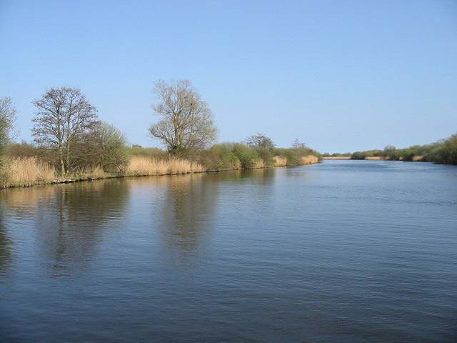
Blackhouse Carr is a picturesque woodland located in Norfolk, England. Spread across an area of approximately 100 acres, it is known for its dense and ancient forest consisting primarily of oak and beech trees. The woodland is a designated Site of Special Scientific Interest (SSSI) due to its rich biodiversity and ecological importance.
The forest is home to a wide variety of wildlife, including deer, foxes, badgers, and numerous bird species. It provides a vital habitat for many rare and endangered species, making it a popular destination for nature enthusiasts and birdwatchers. The forest floor is covered with a lush carpet of ferns, bluebells, and wildflowers during the spring and summer months, creating a vibrant and colorful landscape.
Blackhouse Carr also offers several walking trails and paths, allowing visitors to explore the woodland and enjoy its tranquil atmosphere. The trails wind through the forest, taking visitors on a journey through its ancient trees and beautiful scenery. There are also designated picnic areas and benches where visitors can relax and soak in the natural surroundings.
The woodland is managed and maintained by local conservation organizations, ensuring its preservation and protection. Educational programs and guided tours are often organized to raise awareness about the importance of such ecosystems and to promote environmental stewardship.
Overall, Blackhouse Carr is a captivating woodland that showcases the beauty of Norfolk's natural landscape. Its ancient trees, diverse wildlife, and peaceful ambiance make it a must-visit destination for nature lovers and those seeking a serene retreat in the heart of nature.
If you have any feedback on the listing, please let us know in the comments section below.
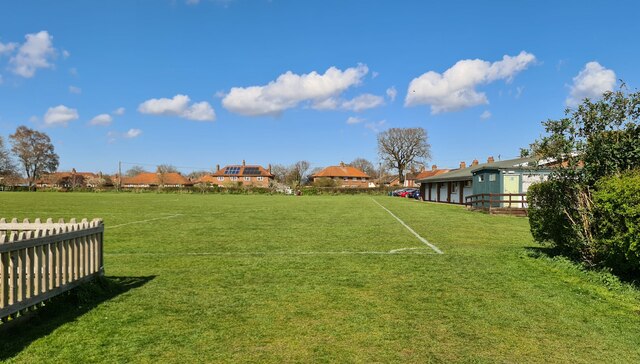
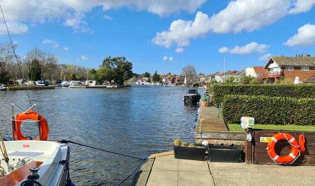
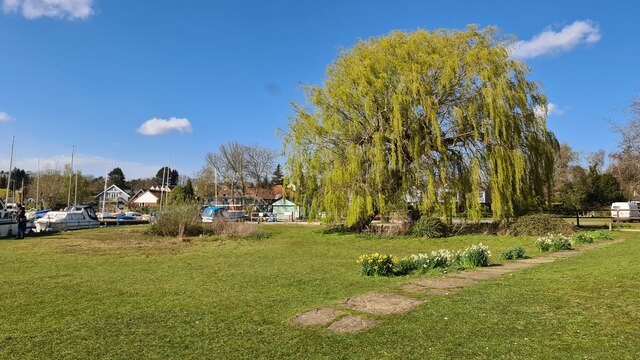
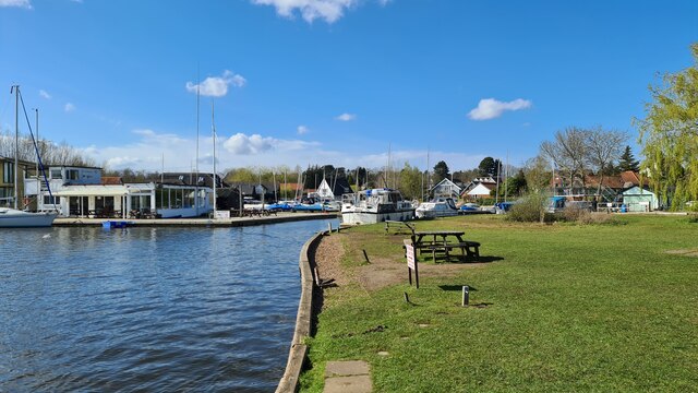
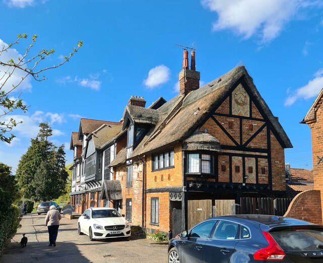
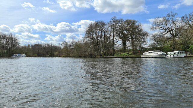
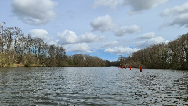
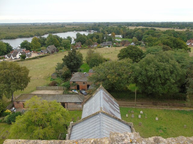
Blackhouse Carr Images
Images are sourced within 2km of 52.68967/1.4612471 or Grid Reference TG3415. Thanks to Geograph Open Source API. All images are credited.


Blackhouse Carr is located at Grid Ref: TG3415 (Lat: 52.68967, Lng: 1.4612471)
Administrative County: Norfolk
District: Broadland
Police Authority: Norfolk
What 3 Words
///task.handle.geologist. Near Horning, Norfolk
Nearby Locations
Related Wikis

Cockshoot Broad
Cockshoot Broad is a 5-hectare (12-acre) nature reserve north-east of Norwich in Norfolk. It is managed by the Norfolk Wildlife Trust. It is part of the...
Bure Broads and Marshes
Bure Broads and Marshes is a 741.1-hectare (1,831-acre) biological Site of Special Scientific Interest north-east of Norwich in Norfolk. Most of it is...

Bure Marshes National Nature Reserve
Bure Marshes National Nature Reserve (NNR) is maintained by English Nature in Norfolk, England, within The Broads National Park. It is mostly fen land...
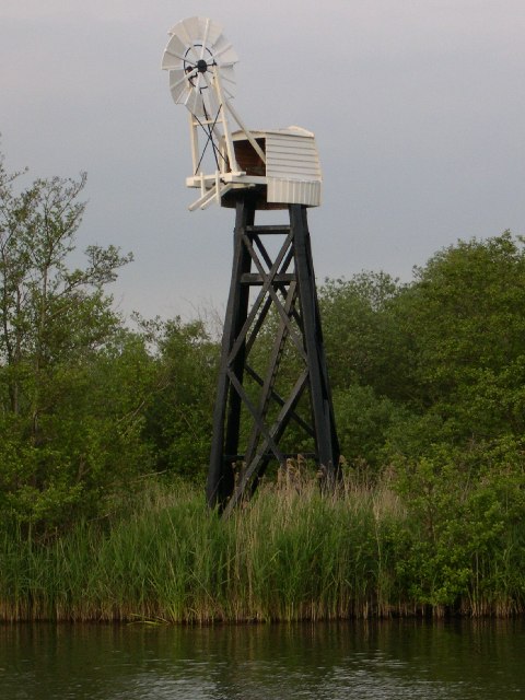
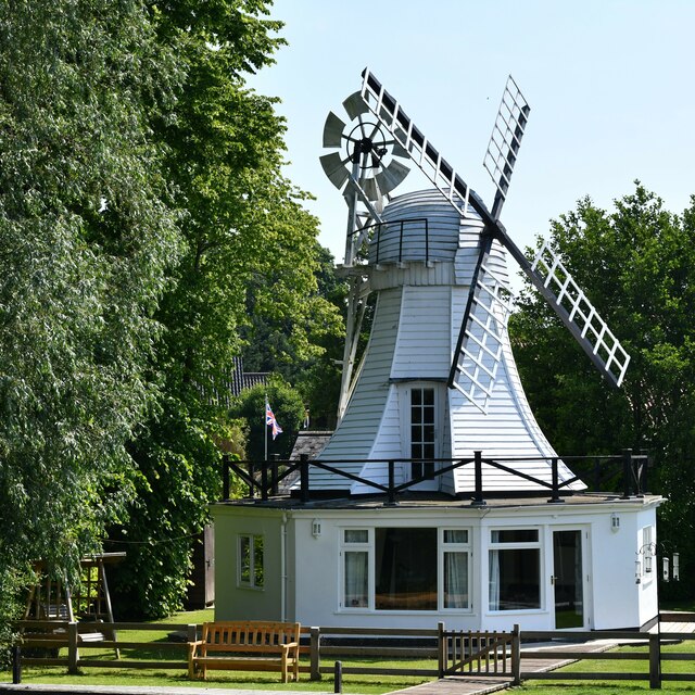
Hobb's Mill
Hobb's Mill, also known as Hobbs Drainage Mill, is an open trestle windpump which stands by the side of the River Bure in Horning, North Norfolk, England...
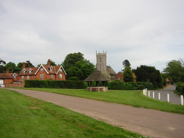
Woodbastwick
Woodbastwick is a village and civil parish in the English county of Norfolk. It is located on the River Bure between Cockshoot Broad and Salhouse Broad...

Horning
Horning is an ancient village and parish in the English county of Norfolk. It covers an area of 11 km2 and had a population of 1,033 in the 2001 census...

Woodbastwick Hall
Woodbastwick Hall is a country house at Woodbastwick in Norfolk. == History == The house dates back to circa 1600. In 1807 the house and estates were acquired...

Woodforde's Brewery
Woodforde's Brewery is a brewery located on Slad Lane in the village of Woodbastwick, in the county of Norfolk, England. The brewery produced its first...
Nearby Amenities
Located within 500m of 52.68967,1.4612471Have you been to Blackhouse Carr?
Leave your review of Blackhouse Carr below (or comments, questions and feedback).