Cockshoot Carr
Wood, Forest in Norfolk Broadland
England
Cockshoot Carr
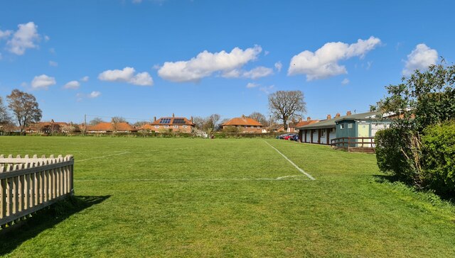
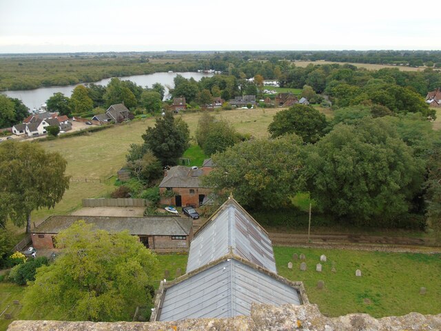
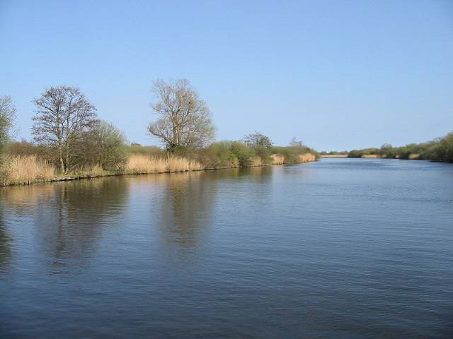
Cockshoot Carr is a remarkable woodland area located in the county of Norfolk, England. Covering an expansive area of approximately 120 hectares, it is renowned for its rich biodiversity and stunning natural beauty. The name "Carr" refers to a type of wetland, indicating the unique and diverse ecosystem found in this woodland.
The dominant tree species in Cockshoot Carr are oak and birch, which create a dense and vibrant canopy that provides shelter and habitats for a wide range of flora and fauna. The forest floor is covered with a variety of ferns, mosses, and wildflowers, enhancing the enchanting atmosphere of the woodland.
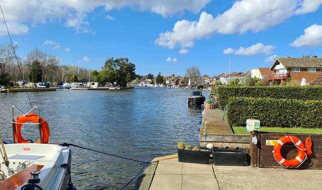
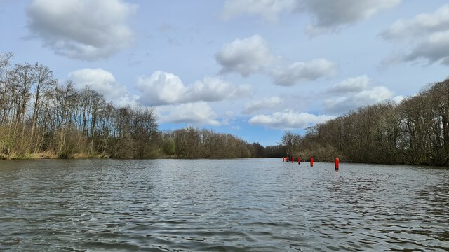
The wetland nature of Cockshoot Carr is due to the presence of several streams and ponds that meander through the area, creating a thriving habitat for numerous wetland species. These water bodies attract a diverse array of bird species, including kingfishers, herons, and various waterfowl. In addition, the woodland is home to a variety of mammals, such as deer, foxes, and badgers, which can often be spotted by lucky visitors.
Cockshoot Carr offers a tranquil and picturesque setting, making it a popular destination for nature enthusiasts, hikers, and photographers. The woodland is crisscrossed with well-maintained footpaths, allowing visitors to explore its beauty at their own pace. The Norfolk Wildlife Trust actively manages the site, ensuring its preservation and conservation for future generations to enjoy.
Overall, Cockshoot Carr is a natural gem in Norfolk, providing a haven for wildlife and an escape for those seeking solace in the beauty of nature.
If you have any feedback on the listing, please let us know in the comments section below.
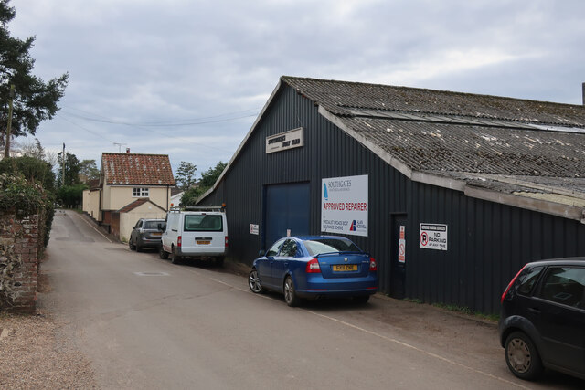
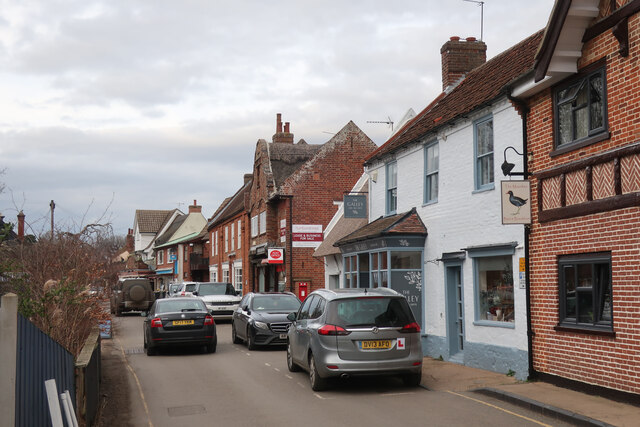
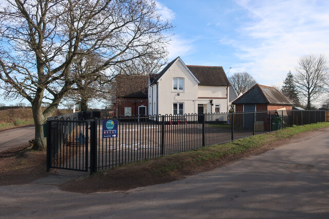
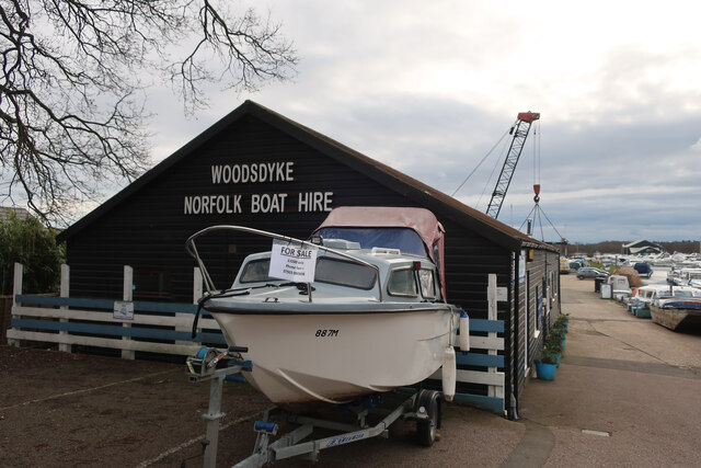
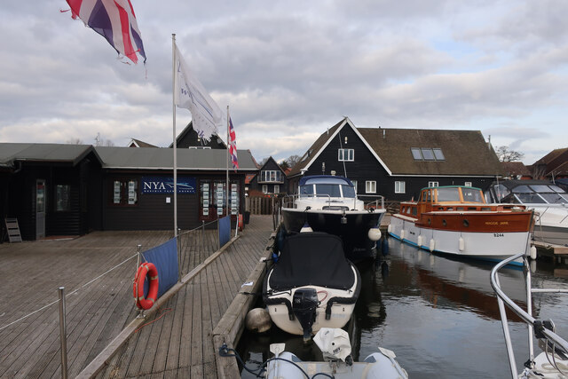
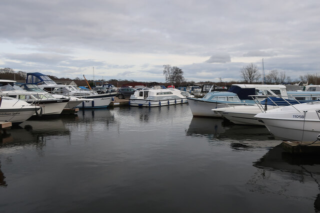
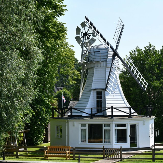
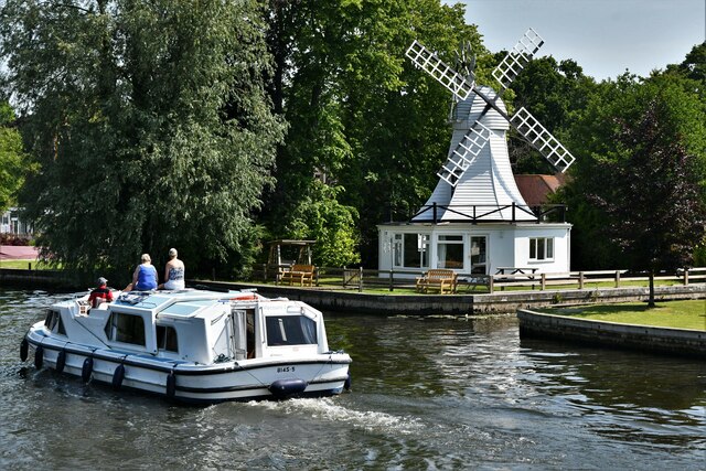
Cockshoot Carr Images
Images are sourced within 2km of 52.68717/1.4630769 or Grid Reference TG3415. Thanks to Geograph Open Source API. All images are credited.


Cockshoot Carr is located at Grid Ref: TG3415 (Lat: 52.68717, Lng: 1.4630769)
Administrative County: Norfolk
District: Broadland
Police Authority: Norfolk
What 3 Words
///quote.laptop.coherent. Near Horning, Norfolk
Nearby Locations
Related Wikis
Bure Broads and Marshes
Bure Broads and Marshes is a 741.1-hectare (1,831-acre) biological Site of Special Scientific Interest north-east of Norwich in Norfolk. Most of it is...

Cockshoot Broad
Cockshoot Broad is a 5-hectare (12-acre) nature reserve north-east of Norwich in Norfolk. It is managed by the Norfolk Wildlife Trust. It is part of the...
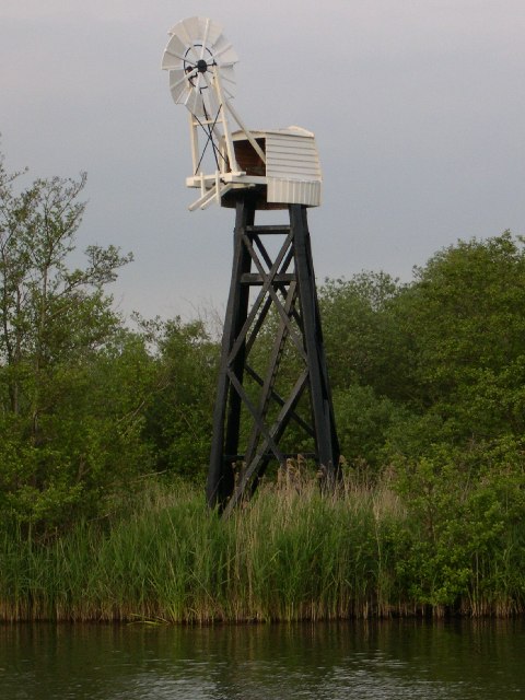
Hobb's Mill
Hobb's Mill, also known as Hobbs Drainage Mill, is an open trestle windpump which stands by the side of the River Bure in Horning, North Norfolk, England...
Woodbastwick
Woodbastwick is a village and civil parish in the English county of Norfolk. It is located on the River Bure between Cockshoot Broad and Salhouse Broad...

Bure Marshes National Nature Reserve
Bure Marshes National Nature Reserve (NNR) is maintained by English Nature in Norfolk, England, within The Broads National Park. It is mostly fen land...

Woodforde's Brewery
Woodforde's Brewery is a brewery located on Slad Lane in the village of Woodbastwick, in the county of Norfolk, England. The brewery produced its first...

Horning
Horning is an ancient village and parish in the English county of Norfolk. It covers an area of 11 km2 and had a population of 1,033 in the 2001 census...

Woodbastwick Hall
Woodbastwick Hall is a country house at Woodbastwick in Norfolk. == History == The house dates back to circa 1600. In 1807 the house and estates were acquired...
Nearby Amenities
Located within 500m of 52.68717,1.4630769Have you been to Cockshoot Carr?
Leave your review of Cockshoot Carr below (or comments, questions and feedback).