Rockland Marsh
Coastal Marsh, Saltings in Norfolk South Norfolk
England
Rockland Marsh
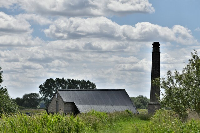
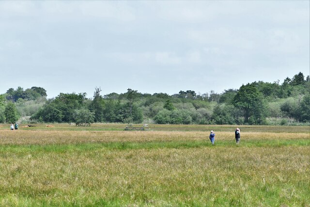
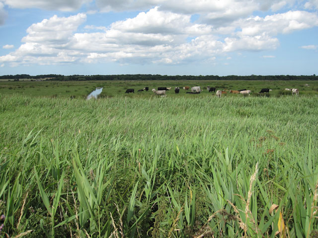
Rockland Marsh, located in Norfolk, England, is a picturesque coastal marshland renowned for its natural beauty and diverse wildlife. With an area spanning approximately 500 hectares, it is considered one of the largest and most important marshes in the region.
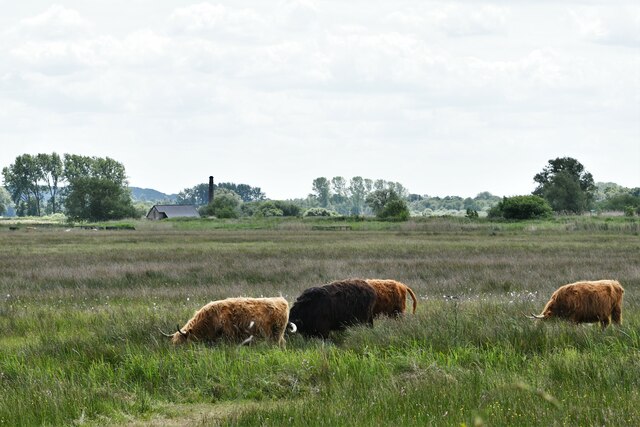
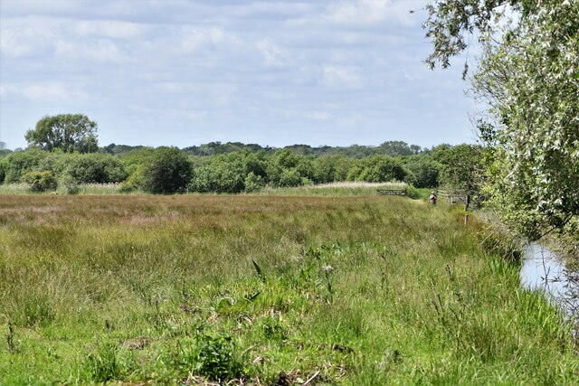
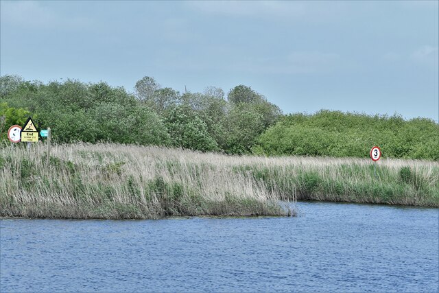
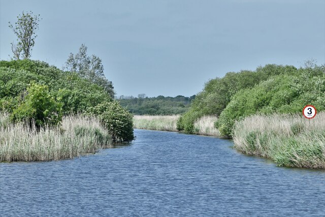
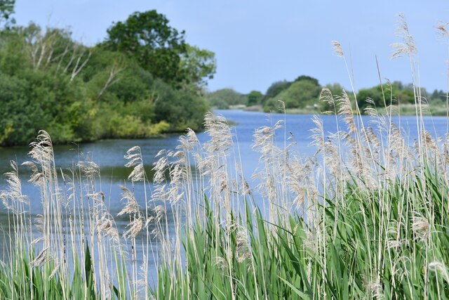
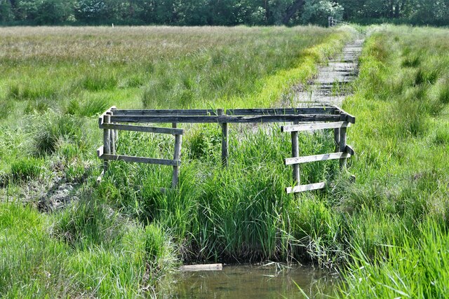
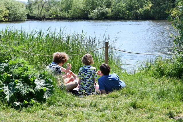
The marsh is characterized by its extensive network of saltwater creeks, mudflats, and saltings, which are grassy areas that become exposed during low tide. These unique features create an ideal habitat for a wide variety of plants and animals, making Rockland Marsh a haven for nature enthusiasts and birdwatchers alike.
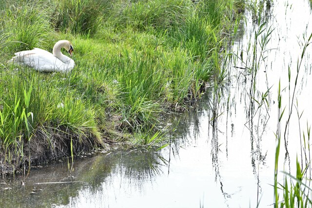
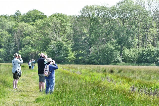
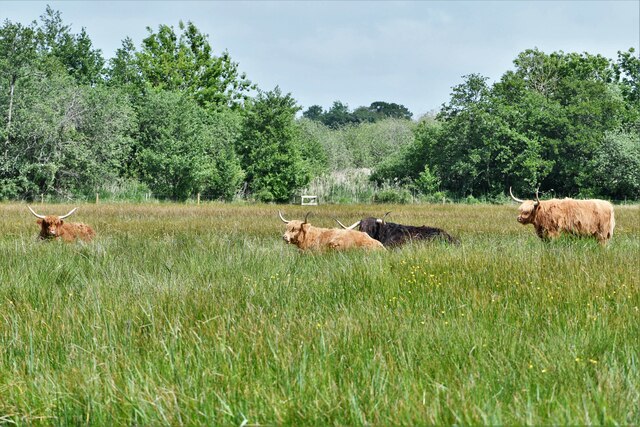
The marsh is home to an impressive array of bird species, with over 200 recorded sightings. It serves as an important breeding ground and wintering site for numerous waterfowl, including wigeons, teals, and brent geese. Rare species such as the marsh harrier and bearded tit can also be spotted within the marsh's reed beds and open water areas.
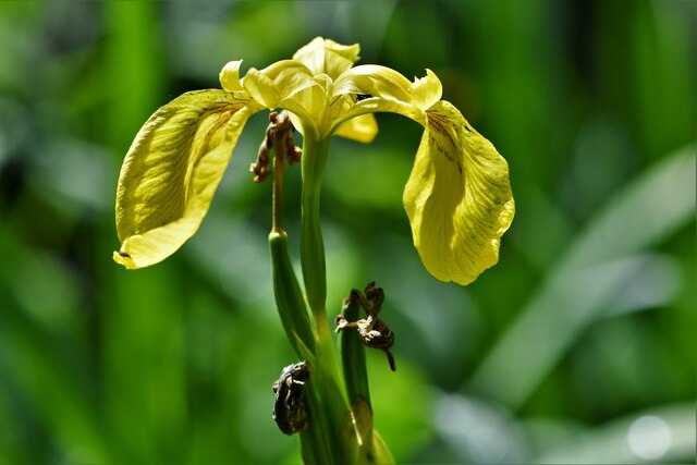
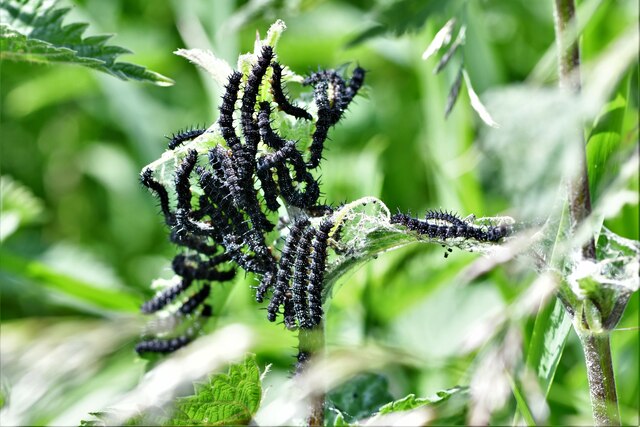
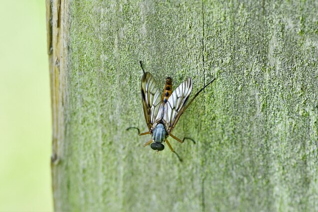
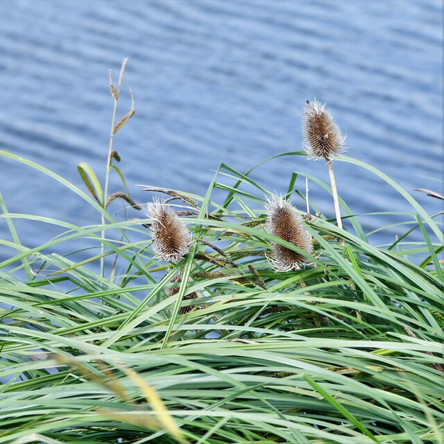
In addition to its avian inhabitants, Rockland Marsh supports a rich plant community, with sea aster, sea lavender, and glassworts dominating the saltings. These plants are specially adapted to tolerate the marsh's saline conditions. The marsh also hosts a diverse array of invertebrates, including various species of crabs, shrimps, and snails.
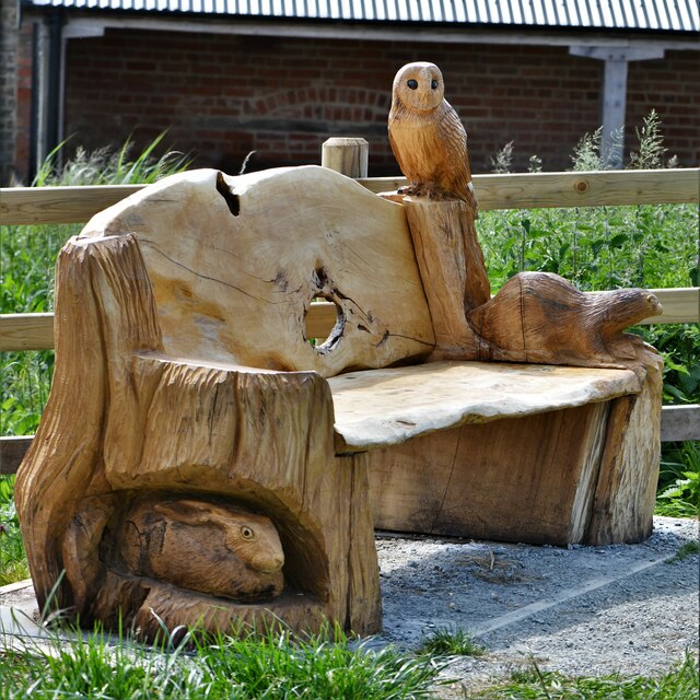
Rockland Marsh is a designated Site of Special Scientific Interest (SSSI) and is managed by various conservation organizations to preserve its ecological value. Visitors can explore the marsh via designated walking trails and observation points, providing a unique opportunity to experience the beauty and biodiversity of this remarkable coastal marshland.
If you have any feedback on the listing, please let us know in the comments section below.
Rockland Marsh Images
Images are sourced within 2km of 52.588454/1.4442059 or Grid Reference TG3304. Thanks to Geograph Open Source API. All images are credited.
Rockland Marsh is located at Grid Ref: TG3304 (Lat: 52.588454, Lng: 1.4442059)
Administrative County: Norfolk
District: South Norfolk
Police Authority: Norfolk
What 3 Words
///social.removed.verb. Near Brundall, Norfolk
Nearby Locations
Related Wikis

Rockland Broad
Rockland Broad is an area of open water, known as a broad, located north east of the village of Rockland St. Mary in the English county of Norfolk. The...

Claxton Castle
Claxton Castle in the village of Claxton, Norfolk, is a ruined brick castle some 13 km southeast of Norwich. == Details == Sir William de Kerdeston and...
Claxton, Norfolk
Claxton is a small village 8.5 miles (13.7 km) south-east of Norwich, and south of the River Yare, between Rockland St. Mary and Loddon in South Norfolk...

Yare Broads and Marshes
Yare Broads and Marshes is a 744.5-hectare (1,840-acre) biological Site of Special Scientific Interest east of Norwich in Norfolk, England. Part of the...

Ducan's Marsh
Ducan's Marsh is a 3.6-hectare (8.9-acre) biological Site of Special Scientific Interest north-east of Loddon in Norfolk. It is part of the Broadland Ramsar...
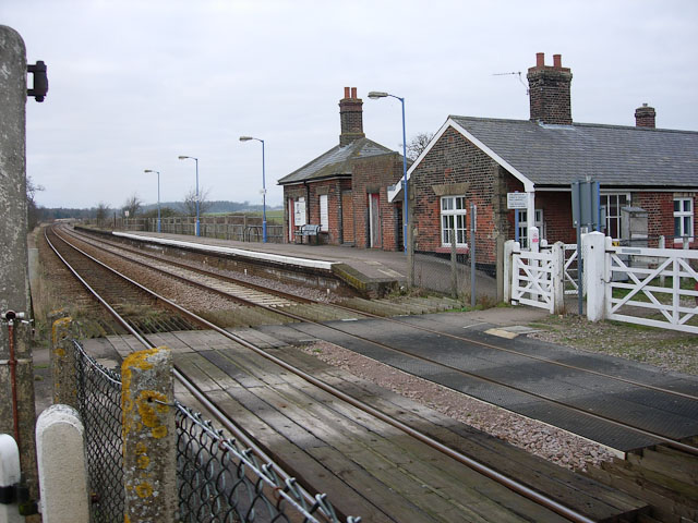
Buckenham railway station
Buckenham railway station is on the Wherry Lines in the east of England, serving the village of Buckenham in Norfolk. It is 7 miles 62 chains (12.5 km...
Buckenham Marshes RSPB reserve
Buckenham Marshes RSPB reserve is a nature reserve located on the northern bank of the River Yare in the English county of Norfolk. The reserve is located...

Mid-Yare National Nature Reserve
Mid-Yare NNR is a national nature reserve in Norfolk, east of Norwich, established by English Nature and managed by the Royal Society for the Protection...
Nearby Amenities
Located within 500m of 52.588454,1.4442059Have you been to Rockland Marsh?
Leave your review of Rockland Marsh below (or comments, questions and feedback).