Crabbett's Marsh
Coastal Marsh, Saltings in Norfolk North Norfolk
England
Crabbett's Marsh
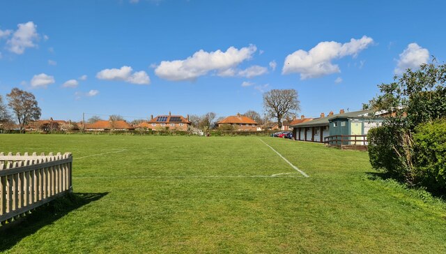
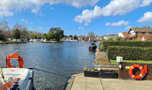
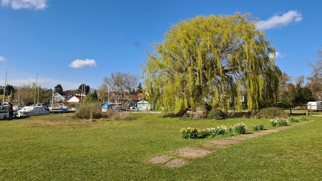
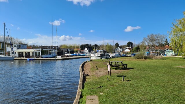
Crabbett's Marsh is a coastal marshland located in Norfolk, England. Situated near the village of Crabbett's Marsh, it is a significant natural habitat known for its diverse ecosystem and picturesque landscape. Spanning approximately 200 acres, the marsh is characterized by its expansive salt marshes and saltings.
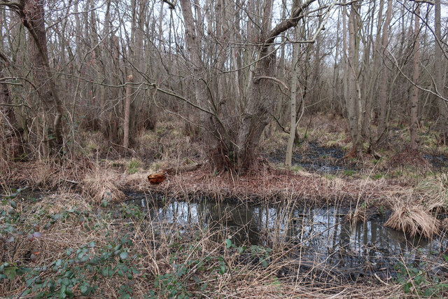
The marsh is primarily composed of mudflats, salt pans, and reed beds, which provide a crucial habitat for a wide range of flora and fauna. The salt marshes are dominated by salt-tolerant grasses, such as sea lavender, cordgrass, and samphire, which thrive in the brackish water that floods the area during high tide. These grasses create a valuable breeding and feeding ground for many bird species, including Brent geese, wading birds, and terns.
Crabbett's Marsh is also home to numerous species of fish and invertebrates, such as mud snails and crabs, which play an essential role in the food chain. The marsh acts as a nursery for various fish species, providing them with shelter and abundant food sources.
The marshland is not only ecologically significant but also offers recreational opportunities for visitors. It is a popular destination for birdwatching, as it attracts a wide variety of migratory birds throughout the year. The marsh can be explored via footpaths and boardwalks, allowing visitors to appreciate its natural beauty while minimizing disturbance to the delicate ecosystem.
Crabbett's Marsh is a protected site due to its ecological importance, and various conservation efforts are in place to preserve its unique habitat. The marsh serves as a valuable reminder of the rich biodiversity that can be found in coastal regions and provides a serene and captivating experience for nature enthusiasts.
If you have any feedback on the listing, please let us know in the comments section below.
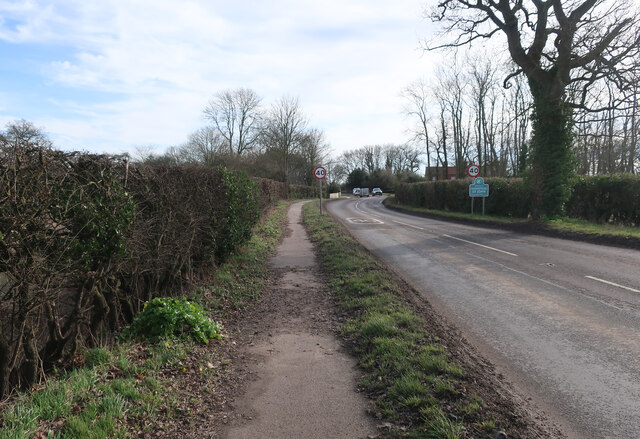
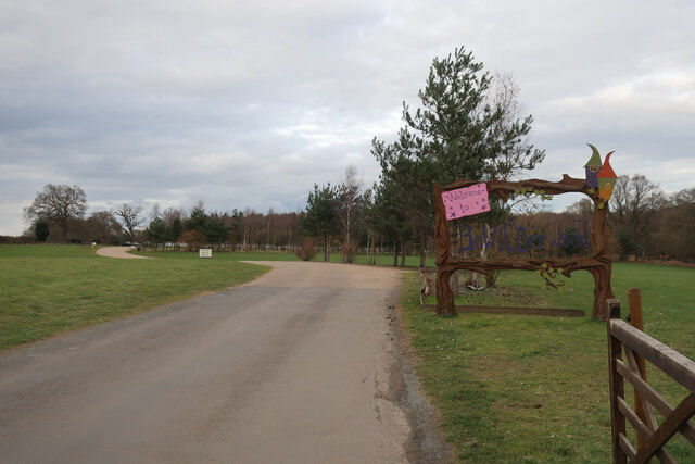
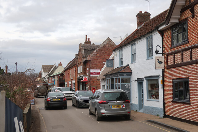
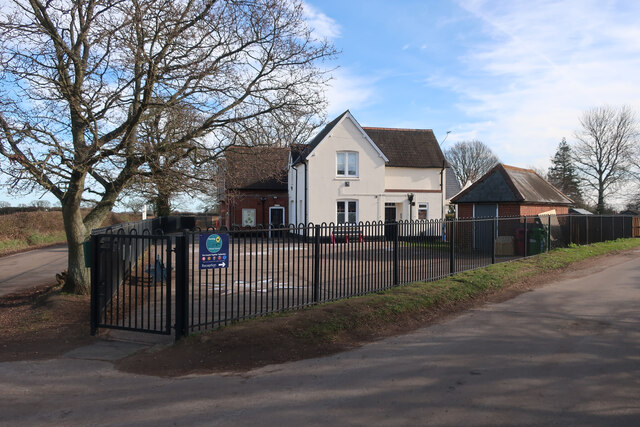
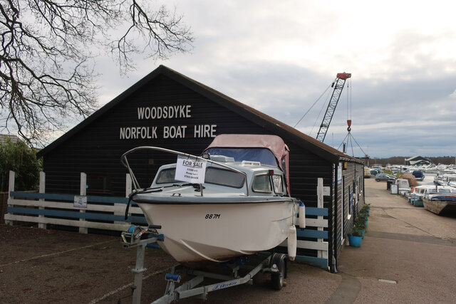
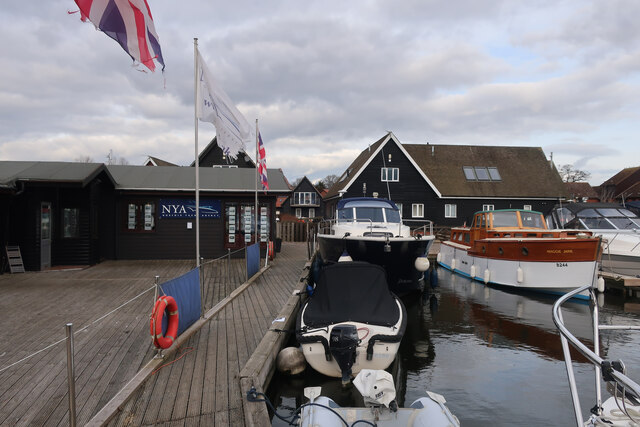
Crabbett's Marsh Images
Images are sourced within 2km of 52.705925/1.4549681 or Grid Reference TG3317. Thanks to Geograph Open Source API. All images are credited.

Crabbett's Marsh is located at Grid Ref: TG3317 (Lat: 52.705925, Lng: 1.4549681)
Administrative County: Norfolk
District: North Norfolk
Police Authority: Norfolk
What 3 Words
///potential.term.between. Near Horning, Norfolk
Nearby Locations
Related Wikis

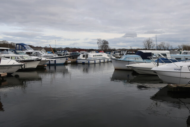
Hoveton Little Broad
Hoveton Little Broad, also known as Black Horse Broad, is a secluded broad of fairly open aspect, in the middle reaches of the River Bure between Hoveton...
Bewilderwood
BeWILDerwood is an adventure park for families located in Horning, a parish in the English county of Norfolk. Self-described as a "curious treehouse adventure...

Bure Marshes National Nature Reserve
Bure Marshes National Nature Reserve (NNR) is maintained by English Nature in Norfolk, England, within The Broads National Park. It is mostly fen land...

Horning
Horning is an ancient village and parish in the English county of Norfolk. It covers an area of 11 km2 and had a population of 1,033 in the 2001 census...
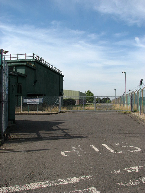
RAF Air Defence Radar Museum
The Royal Air Force Air Defence Radar Museum is a museum on the site of the former Royal Air Force radar and control base RAF Neatishead, close to the...
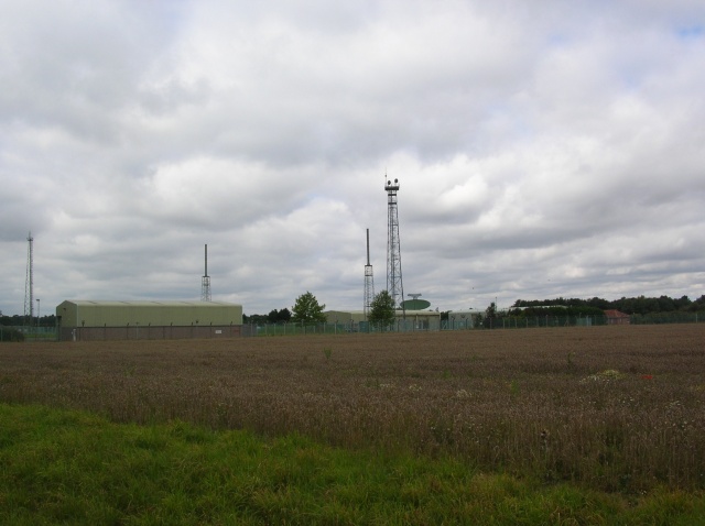
RAF Neatishead
Remote Radar Head Neatishead ( NEE-tis-hed), and commonly abbreviated RRH Neatishead, is an air defence radar site operated by the Royal Air Force (RAF...

Cockshoot Broad
Cockshoot Broad is a 5-hectare (12-acre) nature reserve north-east of Norwich in Norfolk. It is managed by the Norfolk Wildlife Trust. It is part of the...

Woodbastwick Hall
Woodbastwick Hall is a country house at Woodbastwick in Norfolk. == History == The house dates back to circa 1600. In 1807 the house and estates were acquired...
Related Videos

Explore Horning Norfolk Broads in May 2023
Norfolkbroads #Horning #Boating #BoatingLife #Boatlife #norfolk Explore Horning Norfolk Broads in May 2023 The video was ...

Norfolk Broads Drive With Me #autumn #tourism #driving
Norfolk Broads: Drive with me October 2021 In today's video, I take you to Woodbastwick, where I plan to show you how to get to ...
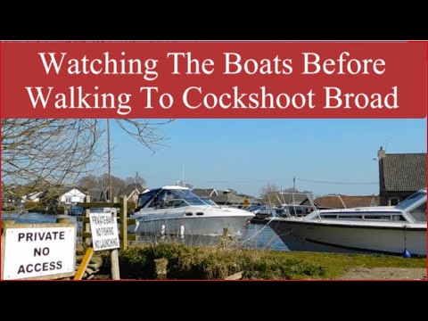
Watching The Boats Before Walking To Cockshoot Broad #norfolkbroads #boats #walking
Hi everyone Finally the road to Woodbastwick car park is no longer flooded. I can drive to the car park and watch the boats.

Horning Bank Holiday Monday
Short video of The Southern Comfort in Horning.
Nearby Amenities
Located within 500m of 52.705925,1.4549681Have you been to Crabbett's Marsh?
Leave your review of Crabbett's Marsh below (or comments, questions and feedback).