Claxton

Civil Parish in Norfolk South Norfolk

England

Claxton

Strumpshaw Fen: Caterpillars of the Peacock butterfly 'Inachis io'
Strumpshaw Fen: Caterpillars of the Peacock butterfly 'Inachis io' Credit: Michael Garlick

Claxton is a civil parish located in the South Norfolk district of the county of Norfolk, in the eastern part of England. It is situated approximately 10 miles southeast of the city of Norwich and covers an area of around 8 square kilometers. The parish is primarily rural, consisting of farmland, small villages, and scattered residential properties.

The village of Claxton itself is a small and picturesque settlement, with a population of around 300 residents. It is known for its charming thatched cottages and traditional architecture. The parish also includes the hamlet of Carleton Forehoe, which is located to the northeast.

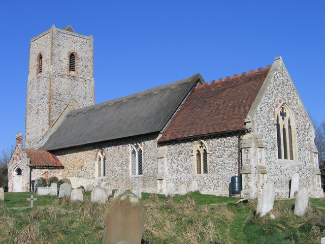
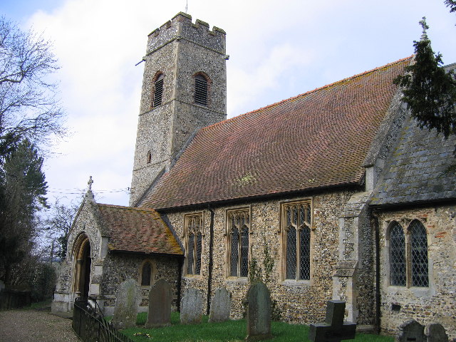
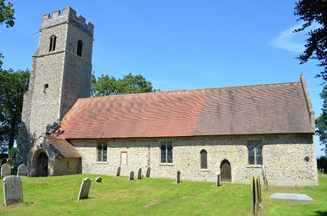
The area has a rich history, with evidence of human settlement dating back to the Neolithic period. Claxton is mentioned in the Domesday Book of 1086, where it is recorded as having a church and a mill. The parish church, dedicated to St. Andrew, is a notable feature of the village, dating back to the 14th century.

Today, Claxton is a peaceful and close-knit community, with a strong sense of community spirit. The village has a few amenities, including a primary school, a village hall, and a pub. The surrounding countryside offers opportunities for outdoor activities such as walking, cycling, and birdwatching. Claxton is well-connected to nearby towns and cities, with good road links and public transportation services.

If you have any feedback on the listing, please let us know in the comments section below.
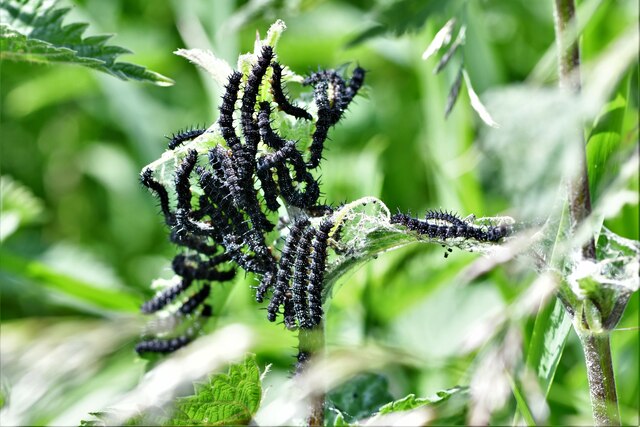
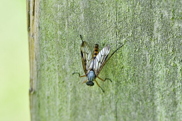
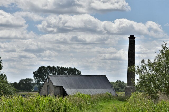
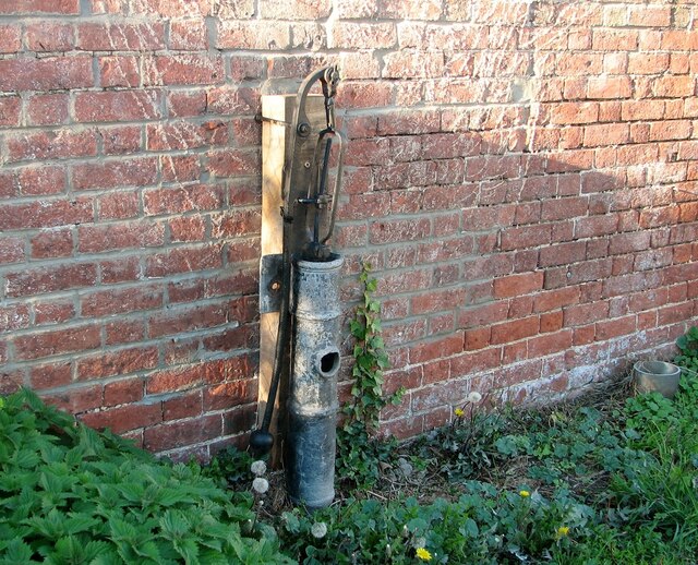
Claxton Images

Images are sourced within 2km of 52.586246/1.439471 or Grid Reference TG3304. Thanks to Geograph Open Source API. All images are credited.

Strumpshaw Fen: Caterpillars of the Peacock butterfly 'Inachis io'
Strumpshaw Fen: Small insect I was unable to identify this fly, perhaps someone could help here.
Strumpshaw Fen: Small insect
I was unable to identify this fly, perhaps someone could help here.
Strumpshaw Fen: The Pump House
Old waterpump at The Grange The pump is situated adjacent to the outbuildings west of Grange Farmhouse > <a title="https://www.geograph.org.uk/photo/5849535" href="https://www.geograph.org.uk/photo/5849535">Link</a>.
Old waterpump at The Grange
The pump is situated adjacent to the outbuildings west of Grange Farmhouse > Link.
Rockland St Mary: Path to St. Mary's Church
Rockland St Mary, St. Mary's Church: Eastern aspect
Rockland St Mary, St. Mary's Church: Chancel south aspect showing rebuilding
Rockland St Mary, St. Mary's Church: Churchyard
Rockland St Mary, St. Mary's Church: South porch
Rockland St Mary, St. Mary's Church: South porch right capital
Rockland St Mary, St. Mary's Church: Southern aspect
Rockland St Mary, St. Mary's Church: Mid c14th tower
Rockland St Mary, St. Mary's Church: Mid c14th tower showing two of its gargoyles
Rockland St Mary, St. Mary's Church: Decorated period south doorway With its late c14th plank door.
Rockland St Mary, St. Mary's Church: Decorated period south doorway
With its late c14th plank door.
Rockland St Mary, St. Mary's Church: Decorated period south doorway, weathered right head stop
Rockland St Mary, St. Mary's Church: The nave
Rockland St Mary, St. Mary's Church: Chancel arch
Show me another place!

Claxton is located at Grid Ref: TG3304 (Lat: 52.586246, Lng: 1.439471)

Administrative County: Norfolk

District: South Norfolk

Police Authority: Norfolk

What 3 Words

///amounting.dating.reminds. Near Brundall, Norfolk

Nearby Locations

Rockland Marsh Claxton

Related Wikis

Claxton Castle

Claxton Castle in the village of Claxton, Norfolk, is a ruined brick castle some 13 km southeast of Norwich. == Details == Sir William de Kerdeston and...

Rockland Broad

Rockland Broad is an area of open water, known as a broad, located north east of the village of Rockland St. Mary in the English county of Norfolk. The...

Claxton, Norfolk

Claxton is a small village 8.5 miles (13.7 km) south-east of Norwich, and south of the River Yare, between Rockland St. Mary and Loddon in South Norfolk...

Ducan's Marsh

Ducan's Marsh is a 3.6-hectare (8.9-acre) biological Site of Special Scientific Interest north-east of Loddon in Norfolk. It is part of the Broadland Ramsar...

Yare Broads and Marshes

Yare Broads and Marshes is a 744.5-hectare (1,840-acre) biological Site of Special Scientific Interest east of Norwich in Norfolk, England. Part of the...

Rockland St Mary

Rockland St Mary is a village in South Norfolk which lies about 6 miles (9½ km) southeast of Norwich between Surlingham, Bramerton, Claxton and Hellington...

Hellington

Hellington is a hamlet and civil parish in the South Norfolk district of the county of Norfolk, England. In the 2001 census, it contained 24 households...

Ashby St Mary

Ashby St Mary, historically Ascebei, is a small village and civil parish in the English county of Norfolk. The civil parish has an area of 2.03 square...

Nearby Amenities

Located within 500m of 52.586246,1.439471
Millennium Milepost The New Inn
Colour: bronze
Description: 1) Loddon 6 2) Norwich 10
Distance Loddon: 6 mi
Distance Norwich: 10 mi
Image: https://www.cyclestreets.net/location/186510/cyclestreets186510-size640.jpg
Information: guidepost
Inscription: T3 / A Millennium Project / The Millennium Commission / Supported by funds from The National Lottery / National Cycle Network 1 / The Royal Bank of Scotland / This is one of 1000 mileposts funded by The Royal Bank of Scotland to mark the creation of the
Inscription 2: National Cycle Network / Casting by Taylors Foundry / Haverhill / From an original by Jon Mills
Material: metal
Ncn Milepost: mills
Source: survey
Sustrans Ref: MP 553
Tourism: information
Lat/Long: 52.5892044/1.4363178
Rockland Staithe
Leisure: slipway
Source: Survey
Lat/Long: 52.5893826/1.4358824
Give Way
Lat/Long: 52.5822094/1.4371866
Waste Basket
Waste: dog_excrement
Lat/Long: 52.5892477/1.4363313
Bronze Palstrave Found AD 1952
Historic: archaeological_site
Lat/Long: 52.5895779/1.4392146
Board Type: geography
Description: Rockland staithe
Information: board
Tourism: information
Lat/Long: 52.5892827/1.436125
The data included in this document is from www.openstreetmap.org. The data is made available under ODbL.

Have you been to Claxton?

Leave your review of Claxton below (or comments, questions and feedback).