Beckery
Settlement in Somerset Mendip
England
Beckery

Beckery is a small village located in Somerset, England. It is situated on the outskirts of the town of Glastonbury, just south of the Mendip Hills. The village is known for its rich historical and archaeological significance.
One of the most notable features of Beckery is the Beckery Chapel, which dates back to the 12th century. The chapel is believed to have been built on the site of a former monastery, where it is said that Saint Bridget of Ireland once resided. The chapel is a popular pilgrimage site and is known for its beautiful stained glass windows and serene atmosphere.
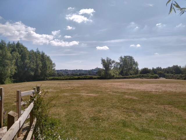
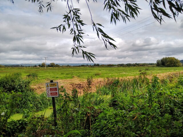
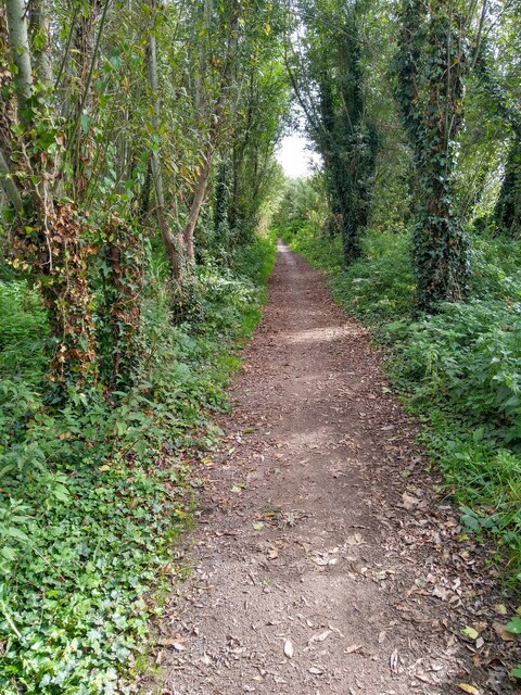
The village itself is characterized by its charming cottages and picturesque countryside. It offers a peaceful and tranquil environment, making it a popular destination for those seeking some respite from the bustling city life. The surrounding area is also known for its natural beauty, with rolling green hills and scenic walking trails.
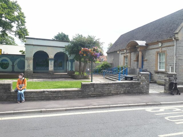
Despite its small size, Beckery has a strong sense of community and is home to a friendly and welcoming population. The village hosts various events throughout the year, including a summer fete and a Christmas market, which bring both locals and visitors together.
Overall, Beckery is a quaint village with a rich history, stunning landscapes, and a close-knit community. It offers a perfect blend of natural beauty and cultural heritage, making it a delightful place to visit or call home.
If you have any feedback on the listing, please let us know in the comments section below.
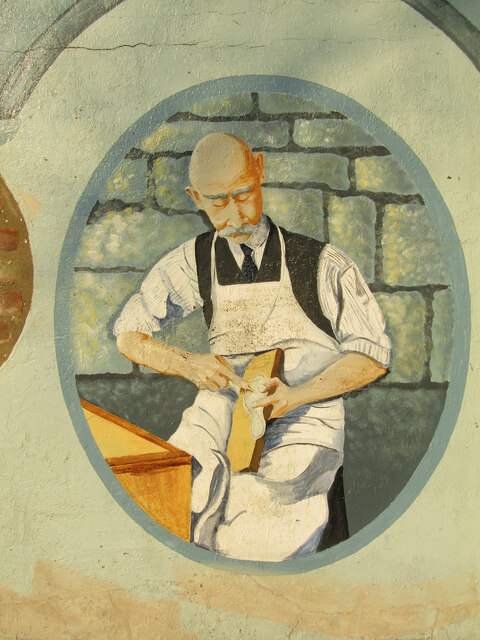
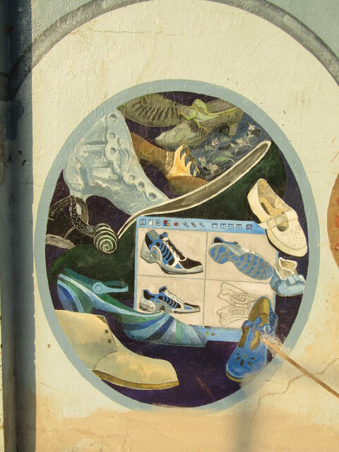
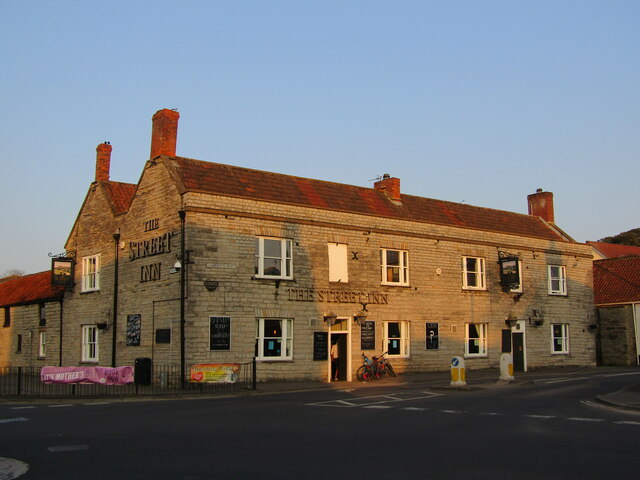
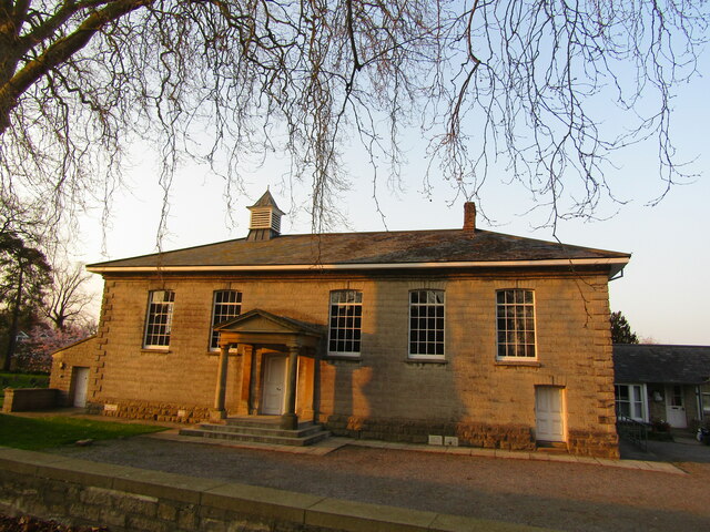
Beckery Images
Images are sourced within 2km of 51.14343/-2.729742 or Grid Reference ST4938. Thanks to Geograph Open Source API. All images are credited.


Beckery is located at Grid Ref: ST4938 (Lat: 51.14343, Lng: -2.729742)
Administrative County: Somerset
District: Mendip
Police Authority: Avon and Somerset
What 3 Words
///straying.slice.triangles. Near Glastonbury, Somerset
Nearby Locations
Related Wikis

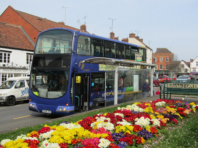
Northover, Somerset
Northover is a former village, now a suburb of Glastonbury in Mendip, Somerset, England.It should not be confused with Northover, Ilchester, a former parish...

Tor Leisure Ground, Glastonbury
Tor Leisure Ground, previously known as Morlands Athletic Ground until 1986, is a former first-class cricket ground located in Glastonbury, Somerset....

Glastonbury Cricket Club
Glastonbury Cricket Club is an English amateur cricket club based in Glastonbury, Somerset. The club's first team plays in the West of England Premier...
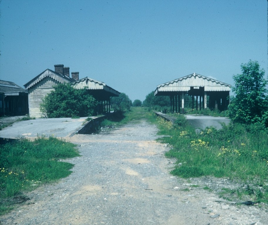
Glastonbury and Street railway station
Glastonbury and Street railway station was the biggest station on the original Somerset and Dorset Joint Railway main line from Highbridge to Evercreech...

St Benedict's Church, Glastonbury
The Anglican Church of St Benedict at Glastonbury within the English county of Somerset was built as a Norman chapel in the 11th century with substantial...

Hospital of St Mary Magdalene, Glastonbury
The Hospital of St Mary Magdalene is a former Catholic religious complex in Glastonbury, Somerset, England. It built around 1310 by the Benedictine monks...
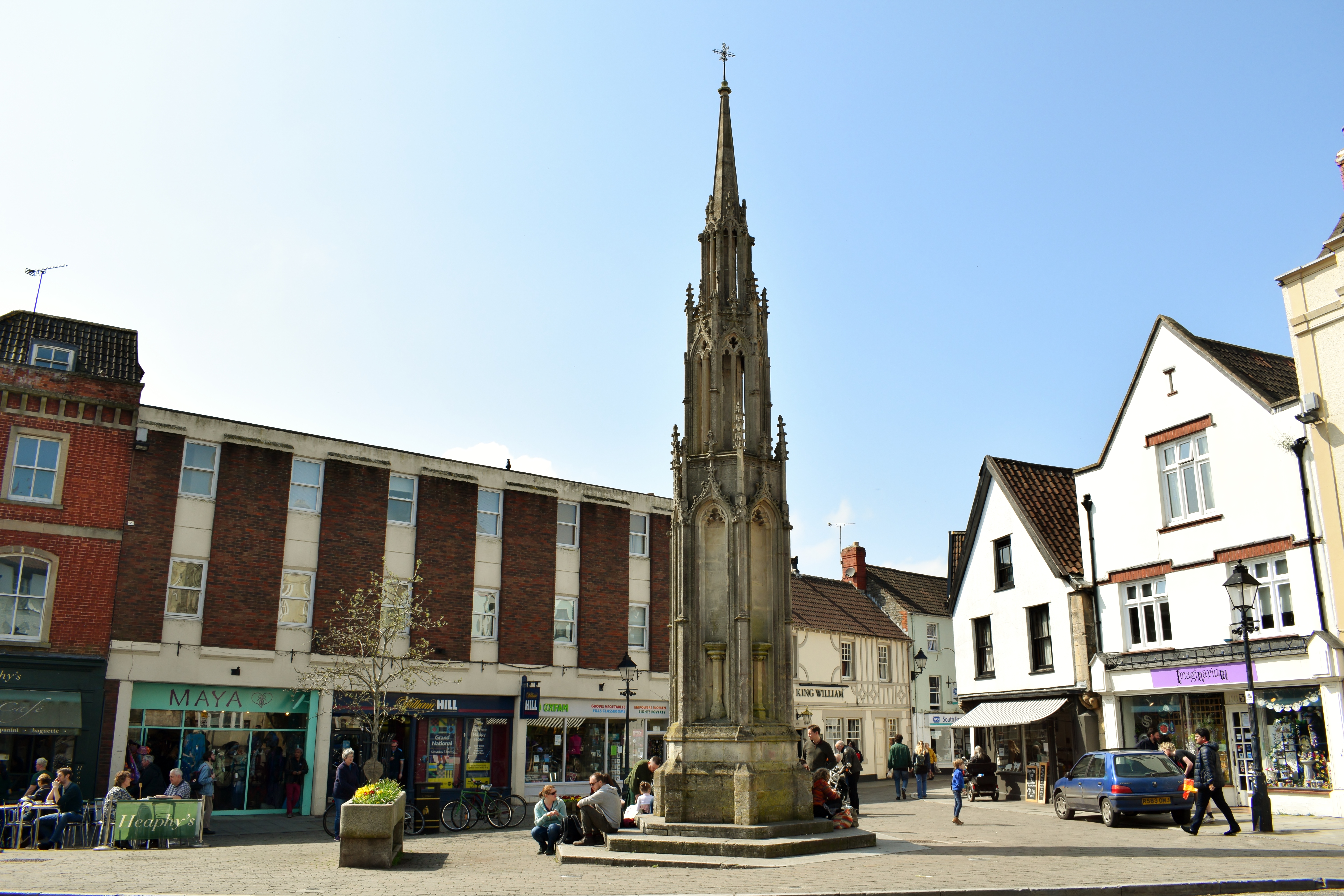
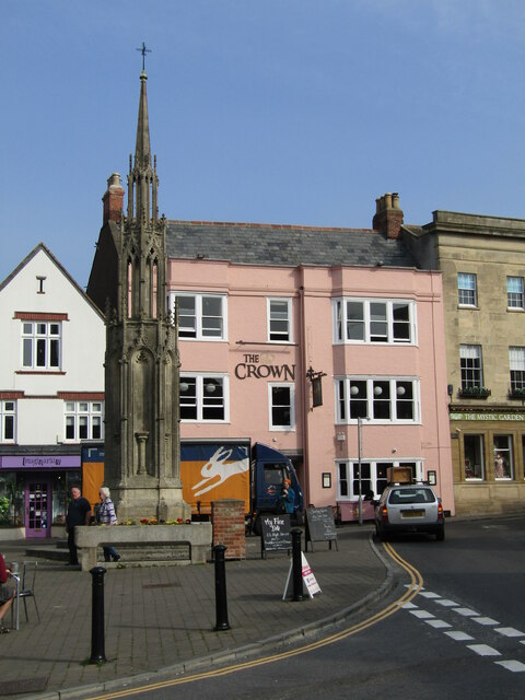
Glastonbury Market Cross
Glastonbury Market Cross is a market cross in Glastonbury, Somerset, England. Erected in 1846, it was designed by the English architect Benjamin Ferrey...

Glastonbury Town Hall
Glastonbury Town Hall is a municipal building in Magdalene Street, Glastonbury, Somerset, England. The structure, which is the meeting place of Glastonbury...
Nearby Amenities
Located within 500m of 51.14343,-2.729742Have you been to Beckery?
Leave your review of Beckery below (or comments, questions and feedback).