Beckett End

Settlement in Norfolk Breckland

England

Beckett End

Drain near Little London Looking downstream. This parallels the River Wissey.
Drain near Little London Credit: Jonathan Thacker

Beckett End is a small village located in the county of Norfolk, England. Situated in the eastern part of the country, Beckett End is nestled within the picturesque countryside, offering residents and visitors a tranquil and scenic setting.

The village is characterized by its charming and traditional architecture, with many historic buildings dating back several centuries. The village center is marked by a quaint village green, surrounded by a few local shops and amenities, providing convenience to its residents.

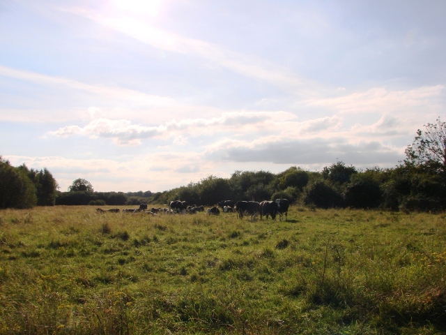
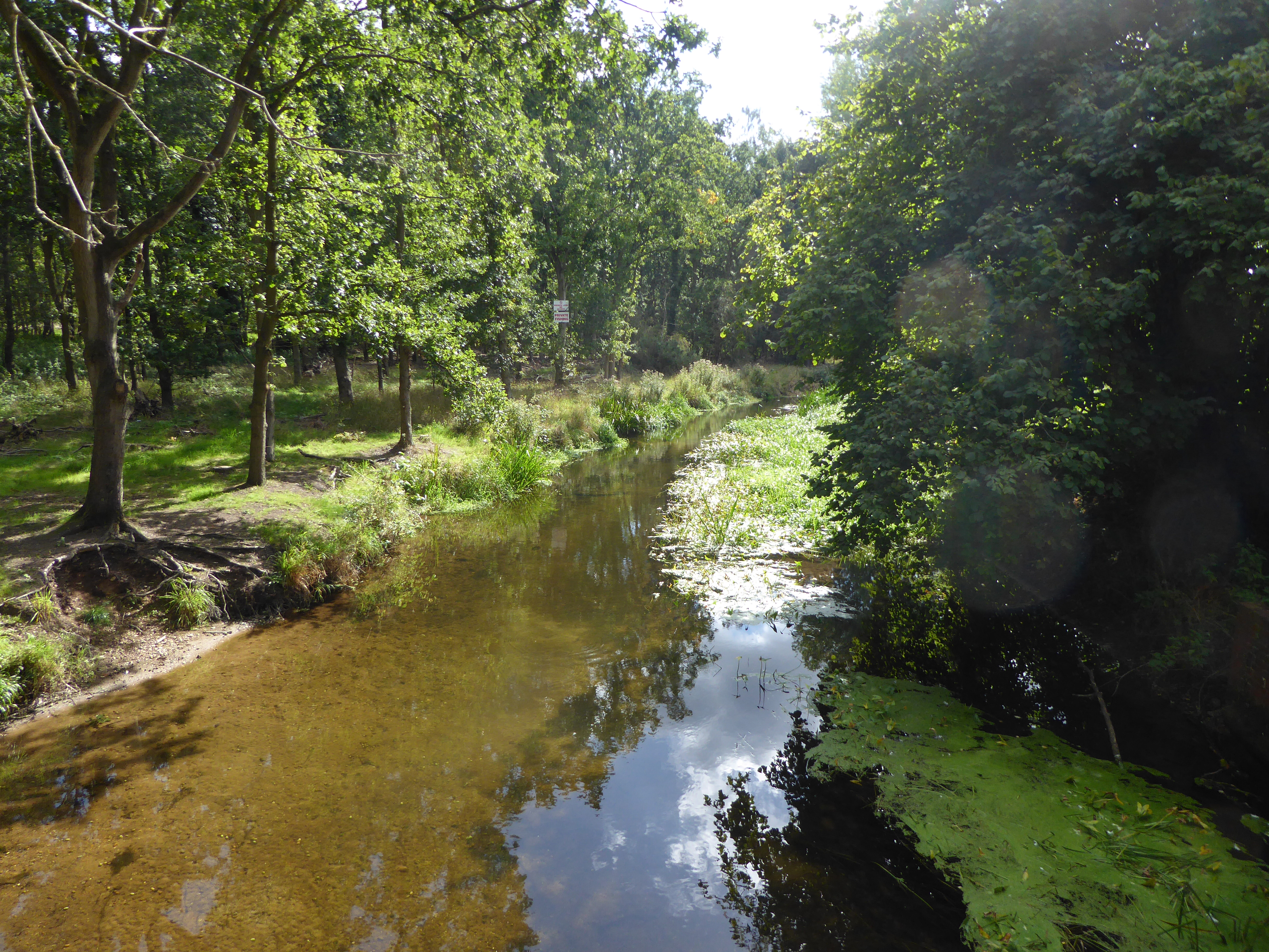
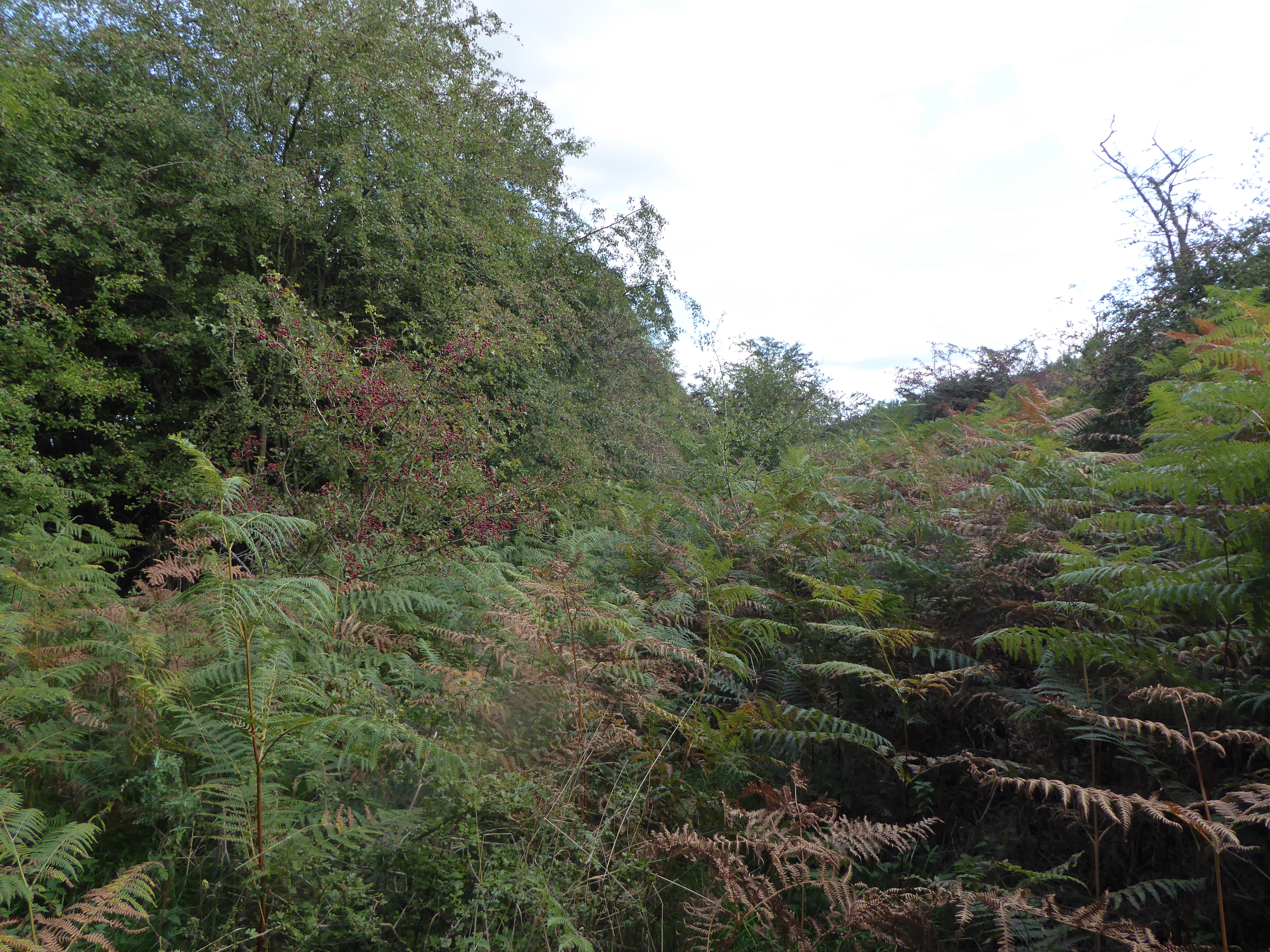
Surrounded by lush green meadows and rolling hills, Beckett End is a haven for nature enthusiasts and hikers. The village is surrounded by several well-maintained footpaths and bridleways, offering opportunities for outdoor activities and exploration. The nearby woods and forests provide a serene environment for wildlife spotting and peaceful walks.

Despite its small size, Beckett End has a strong sense of community, with regular social events and gatherings organized by local residents. The village also boasts a friendly and welcoming atmosphere, making it an ideal place for those seeking a close-knit community.

For amenities and services not available within Beckett End, the nearby town of Norwich is easily accessible, offering a wider range of shopping, dining, and entertainment options. Additionally, the village benefits from good transport links, connecting it to the rest of Norfolk and beyond.

Overall, Beckett End is a charming village that combines natural beauty, a strong community spirit, and convenient access to nearby towns, making it a desirable place to live or visit in Norfolk.

If you have any feedback on the listing, please let us know in the comments section below.
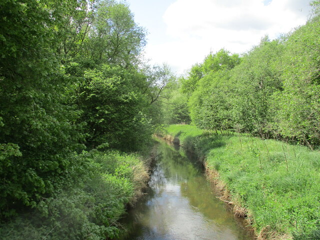
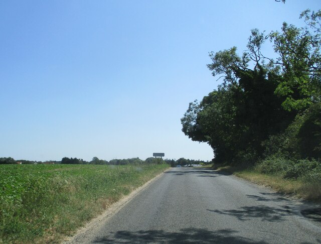
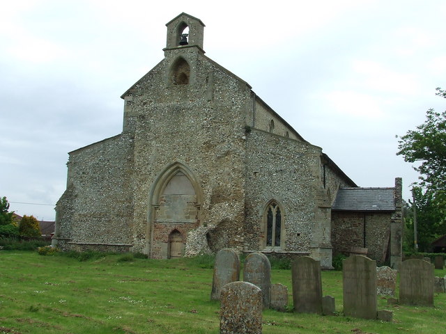
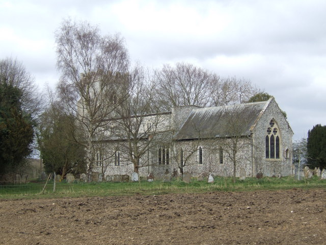
Beckett End Images

Images are sourced within 2km of 52.555854/0.614667 or Grid Reference TL7798. Thanks to Geograph Open Source API. All images are credited.

Drain near Little London Looking downstream. This parallels the River Wissey.
Drain near Little London
Looking downstream. This parallels the River Wissey.
Village  name  sign  at  road  junction.  Foulden At the NE corner of the village
Village name sign at road junction. Foulden
At the NE corner of the village
Village  name  sign  at  road  junction.  (2)  Foulden On a substantial brick and stone base
Village name sign at road junction. (2) Foulden
On a substantial brick and stone base
Approaching  Foulden  on  the  minor  road  from  Oxborough
Approaching Foulden on the minor road from Oxborough
Entering  Foulden  from  the  north  on  minor  road The row of cottages to the right are Cross Cottages, there is the stump of a Medieval Cross there
Entering Foulden from the north on minor road
The row of cottages to the right are Cross Cottages, there is the stump of a Medieval Cross there
Through The Trees Looking west along an un-named country road near to Foulden, Norfolk.
Through The Trees
Looking west along an un-named country road near to Foulden, Norfolk.
Field And Deer Deer near to Foulden, Norfolk.
Field And Deer
Deer near to Foulden, Norfolk.
Didlington St. Michael's church I noticed the east wall has started to crumble and is sadly neglected. It is remote, almost a mile from the nearest metalled road and within private grounds. Gargoyles stare down from the tower. Most of the structure is 14th c. with a 13th c. Victorianised chancel and a 15th c. arcade creating the south aisle. In the nave, which has been cleared of the seating, is a Norman font bowl, probably coeval with the chancel, where the services are now held. Over the north door (which has at some time been moved eastwards) is the hatchment. The altar rail, of massive marble balusters, looks completely out of place. A 13th c. trefoil piscina with engaged columns is west of a filled-in arch which may have been a double sedilia, but is most curious.
Didlington St. Michael's church
I noticed the east wall has started to crumble and is sadly neglected. It is remote, almost a mile from the nearest metalled road and within private grounds. Gargoyles stare down from the tower. Most of the structure is 14th c. with a 13th c. Victorianised chancel and a 15th c. arcade creating the south aisle. In the nave, which has been cleared of the seating, is a Norman font bowl, probably coeval with the chancel, where the services are now held. Over the north door (which has at some time been moved eastwards) is the hatchment. The altar rail, of massive marble balusters, looks completely out of place. A 13th c. trefoil piscina with engaged columns is west of a filled-in arch which may have been a double sedilia, but is most curious.
Foulden All Saints church The church lost its square 14th c. tower many years ago but the outline of it remains. A bellcote mounted on the west gable contains one small bell. Curiously, set into the wall of the south aisle is a cinquefoil arch, possibly an early intra-mural burial. Most of the church is contemporary with the 14th c. except the addition of the Tudor windows in the chancel and occasional doorway. I believe the porch to be 15th c. but the builder seems to have utilised 13th c. columns from elsewhere to support the arch. Unfortunately someone has been over-zealous with brown paint inside, even on the screen. The carvings on the bench-ends are charming. The 15th c. octagonal font is plain. A rood loft, added later, necessitated a stairway that has partially obscured the eastern window of the south aisle. Interesting.
Foulden All Saints church
The church lost its square 14th c. tower many years ago but the outline of it remains. A bellcote mounted on the west gable contains one small bell. Curiously, set into the wall of the south aisle is a cinquefoil arch, possibly an early intra-mural burial. Most of the church is contemporary with the 14th c. except the addition of the Tudor windows in the chancel and occasional doorway. I believe the porch to be 15th c. but the builder seems to have utilised 13th c. columns from elsewhere to support the arch. Unfortunately someone has been over-zealous with brown paint inside, even on the screen. The carvings on the bench-ends are charming. The 15th c. octagonal font is plain. A rood loft, added later, necessitated a stairway that has partially obscured the eastern window of the south aisle. Interesting.
Arable farmland near Bone's Farm, Foulden
Wheat crop field by Four Score
Minor road past Four Score
Fields by Honeypot Farm
Crossroads near Everett's Farm
Gated firebreak and FRP 153 in Four Score (plantation)
Wheat crop field near Foulden
Track to Honeypot Farm
Show me another place!

Beckett End is located at Grid Ref: TL7798 (Lat: 52.555854, Lng: 0.614667)

Administrative County: Norfolk

District: Breckland

Police Authority: Norfolk

What 3 Words

///enacts.quicksand.sailors. Near Mundford, Norfolk

Nearby Locations

Beckett End

Related Wikis

Nearby Amenities

Located within 500m of 52.555854,0.614667
Beckett End
Place: hamlet
Wikidata: Q4878690
Lat/Long: 52.5559366/0.6142325
Power: pole
Source: Bing
Lat/Long: 52.5582175/0.6184959
Power: pole
Source: Bing
Lat/Long: 52.5594241/0.6156689
Power: pole
Source: Bing
Lat/Long: 52.5577446/0.6196332
Power: pole
Source: Bing
Lat/Long: 52.5572619/0.6207597
Power: pole
Source: Bing
Lat/Long: 52.5600601/0.6142366
Power: pole
Source: Bing
Lat/Long: 52.5588208/0.6170904
Addr Housename: Foulden Mill
Lat/Long: 52.5559277/0.608355
The data included in this document is from www.openstreetmap.org. The data is made available under ODbL.

Have you been to Beckett End?

Leave your review of Beckett End below (or comments, questions and feedback).