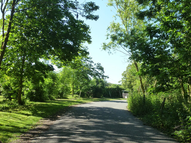
Chislet Marshes
Coastal Marsh, Saltings in Kent Canterbury
England
Chislet Marshes
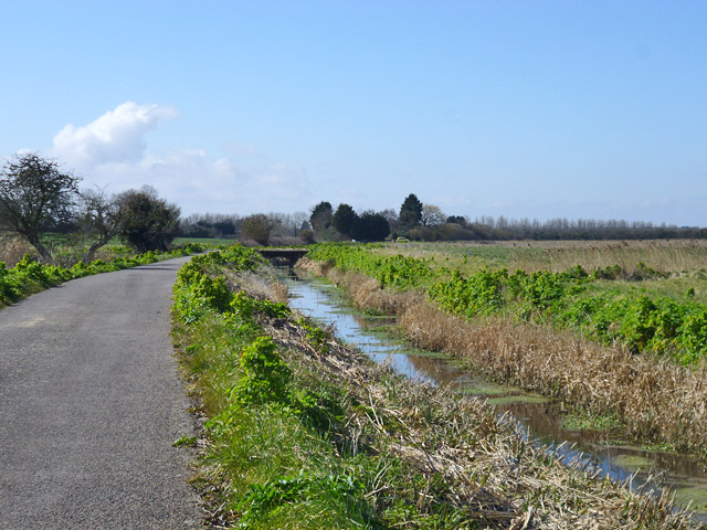
Chislet Marshes, located in Kent, England, is a stunning coastal marshland area known for its unique ecological characteristics. Covering an area of approximately 200 hectares, this diverse landscape is situated near the village of Chislet and is bounded by the River Stour to the south and the River Wantsum to the east.
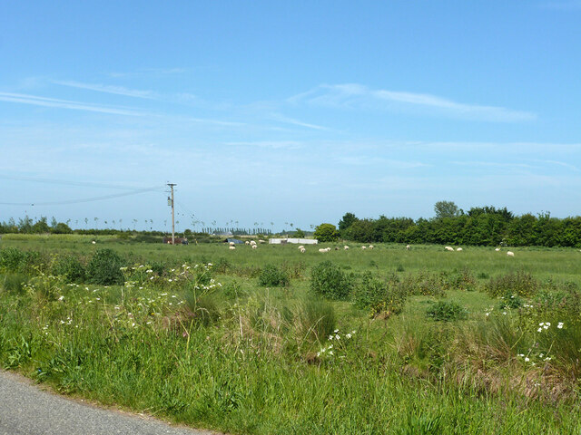
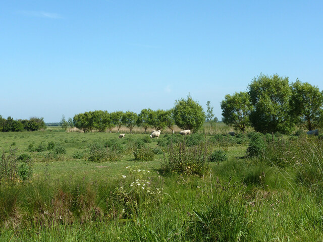
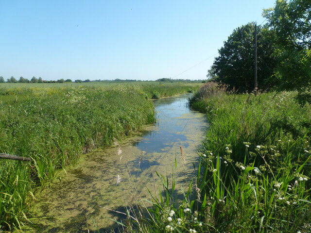
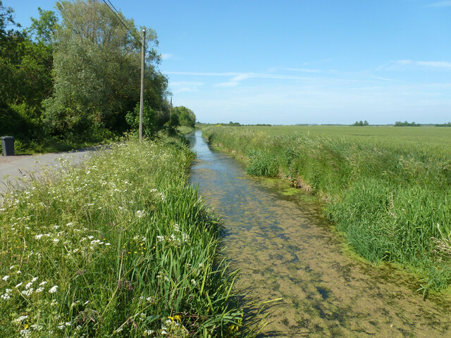
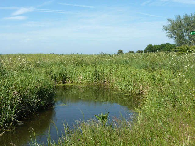
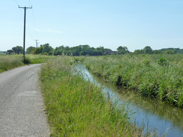
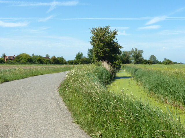
The marshes are predominantly composed of saltmarshes, which are an important habitat for various plant and animal species. The area is characterized by extensive mudflats, creeks, and channels, all of which play a vital role in supporting a rich and diverse array of wildlife.
The saltmarshes of Chislet Marshes are home to an impressive range of bird species, attracting birdwatchers and nature enthusiasts alike. Species such as redshanks, lapwings, and curlews can be spotted here, making it an ideal location for birdwatching. Additionally, the marshes serve as an important breeding ground for various fish species, including the European eel and the smelt.
The marshes have also been designated as a Site of Special Scientific Interest (SSSI) due to the presence of rare and endangered flora and fauna. Plants such as sea aster, sea lavender, and samphire thrive in the saltmarsh environment, contributing to the area's biodiversity.
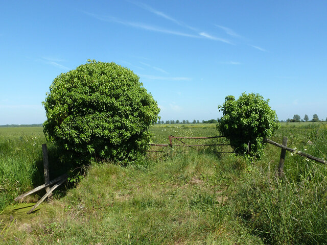
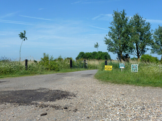
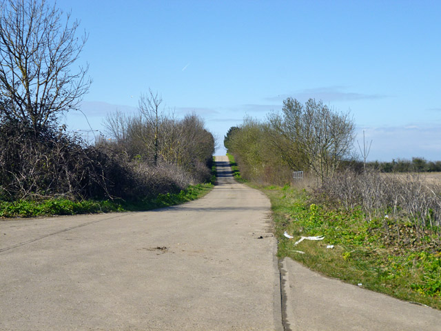
Visitors to Chislet Marshes can enjoy walking along the designated footpaths, taking in the stunning views of the marshland and observing the diverse wildlife. The area is also popular for fishing and provides a peaceful and idyllic setting for picnics and nature photography.
In conclusion, Chislet Marshes in Kent offers a unique and ecologically significant coastal marshland environment, providing a haven for a wide variety of plant and animal species. Its beauty and biodiversity make it a must-visit destination for nature enthusiasts and those seeking tranquility in the heart of nature.
If you have any feedback on the listing, please let us know in the comments section below.
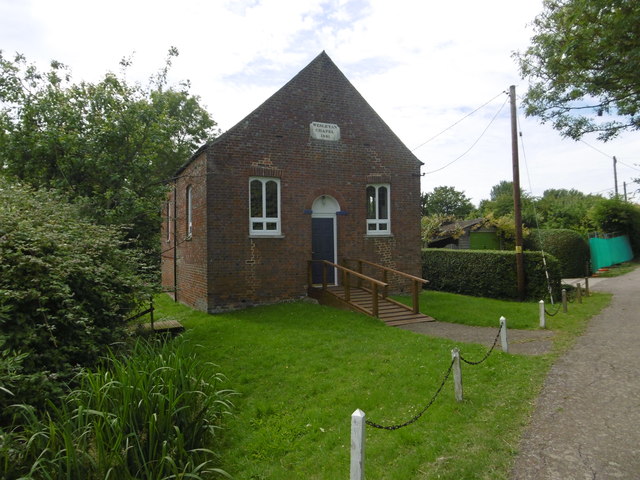
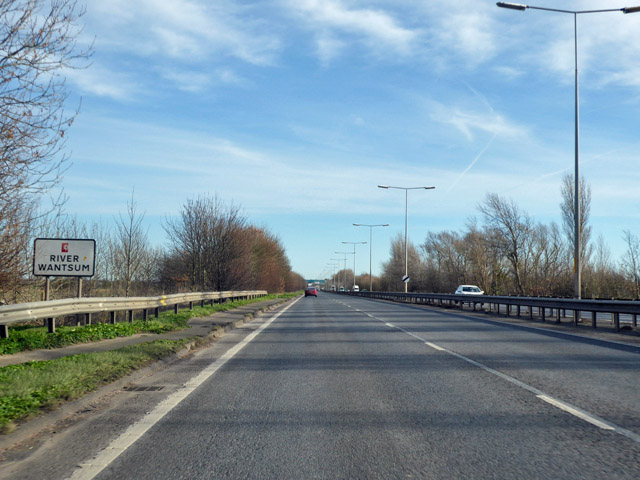
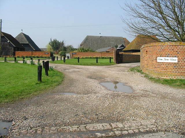
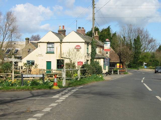
Chislet Marshes Images
Images are sourced within 2km of 51.353029/1.2152963 or Grid Reference TR2366. Thanks to Geograph Open Source API. All images are credited.
Chislet Marshes is located at Grid Ref: TR2366 (Lat: 51.353029, Lng: 1.2152963)
Administrative County: Kent
District: Canterbury
Police Authority: Kent
What 3 Words
///competing.sculpting.arriving. Near Herne Bay, Kent
Nearby Locations
Related Wikis
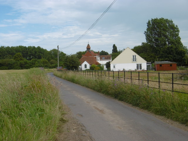
Marshside, Kent
Marshside is a hamlet in the county of Kent, England. It is in the parish of Chislet alongside the Chislet Marshes southeast of Herne Bay. == Governance... ==

Grays, Kent
Grays is a hamlet within the civil parish of Chislet, near Canterbury, Kent. It is located to the south of the A299 road and is located on the North Stream...

Sarre Penn
Sarre Penn is a tributary of the River Stour in Kent, England, joining with the River Wantsum near Sarre, where it is known locally as the Fishbourne...
Boyden Gate
Boyden Gate is a village in the civil parish of Chislet in Kent, England. == External links == Media related to Boyden Gate at Wikimedia Commons
Nearby Amenities
Located within 500m of 51.353029,1.2152963Have you been to Chislet Marshes?
Leave your review of Chislet Marshes below (or comments, questions and feedback).