Shotley Marshes

Coastal Marsh, Saltings in Suffolk Babergh

England

Shotley Marshes

Door, Shotley church St. Mary's is a grade II*(star) listed building. This door in the chancel is dated 1745, considered to be the rebuilding date of the whole chancel.
Door, Shotley church Credit: Robin Webster

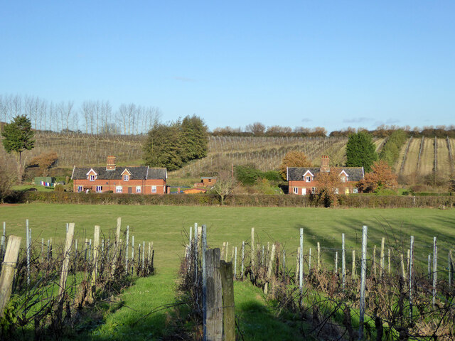
Shotley Marshes, located in Suffolk, England, is a coastal marshland that stretches over an area of approximately 200 hectares. Situated on the southern bank of the River Stour, it is a prominent feature of the Suffolk coast and is part of the Suffolk Coast and Heaths Area of Outstanding Natural Beauty.

Shotley Marshes is characterized by its diverse range of habitats, including saltmarshes, intertidal mudflats, and reedbeds. These habitats are crucial for various species of flora and fauna, making it a significant site for conservation and biodiversity. The marshes provide an essential breeding ground and feeding area for numerous bird species, including avocets, redshanks, and brent geese. Additionally, rare plants such as sea lavender and sea aster can be found flourishing in this unique environment.

The marshes also serve as a vital defense against coastal erosion and flooding. The saltmarshes act as a buffer, absorbing the force of tidal surges and reducing the impact on the nearby communities. This natural protection is of great importance to the local area and its inhabitants.

Shotley Marshes offer visitors a chance to explore and appreciate the natural beauty of the Suffolk coastline. The area is crisscrossed with a network of footpaths and trails, enabling visitors to observe the wildlife and enjoy the peaceful surroundings. The marshes are accessible to both walkers and birdwatchers, providing an opportunity to witness the diverse range of bird species that inhabit or pass through the area.

Overall, Shotley Marshes is a significant and captivating coastal marshland in Suffolk, offering a rich tapestry of habitats, wildlife, and natural defense systems that make it a valuable and cherished part of the local landscape.

If you have any feedback on the listing, please let us know in the comments section below.

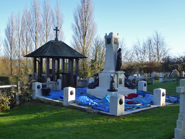
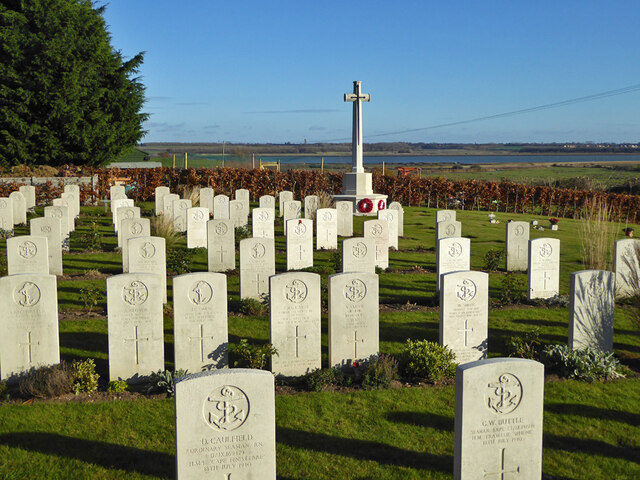
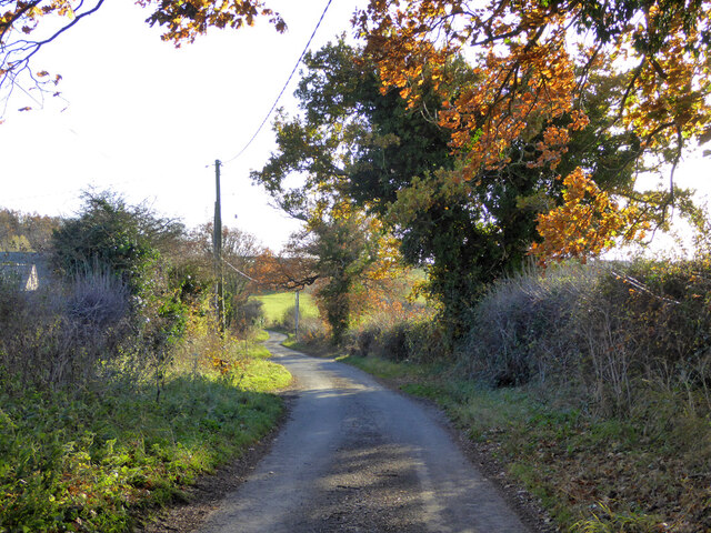
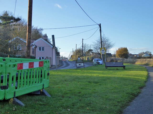
Shotley Marshes Images

Images are sourced within 2km of 51.973622/1.265874 or Grid Reference TM2435. Thanks to Geograph Open Source API. All images are credited.

Door, Shotley church St. Mary's is a grade II*(star) listed building. This door in the chancel is dated 1745, considered to be the rebuilding date of the whole chancel.
Door, Shotley church
St. Mary's is a grade II*(star) listed building. This door in the chancel is dated 1745, considered to be the rebuilding date of the whole chancel.
War memorial and war graves, Shotley During the 1939-1945 War, Shotley Gate was the Royal Naval Training Establishment H.M.S. Ganges. This is a special Royal Navy cemetery, next to the regular cemetery off to the right.
War memorial and war graves, Shotley
During the 1939-1945 War, Shotley Gate was the Royal Naval Training Establishment H.M.S. Ganges. This is a special Royal Navy cemetery, next to the regular cemetery off to the right.
Shotley church St. Mary's is a grade II*(star) listed building.
Shotley church
St. Mary's is a grade II*(star) listed building.
Navy graves, Shotley The eastern end of the extended churchyard in largely given over to Naval graves from the First World War. There is a special section and memorial for submariners.
Navy graves, Shotley
The eastern end of the extended churchyard in largely given over to Naval graves from the First World War. There is a special section and memorial for submariners.
Shotley vineyards and cottages on Frogs Alley
Navy graves, Shotley The eastern end of the extended churchyard in largely given over to Naval graves from the First World War.
Navy graves, Shotley
The eastern end of the extended churchyard in largely given over to Naval graves from the First World War.
Submariners' memorial lychgate, Shotley For those of the 8th and 9th submarine flotillas who died 1914-1919.
Submariners' memorial lychgate, Shotley
For those of the 8th and 9th submarine flotillas who died 1914-1919.
Plaque, submariners' memorial lychgate, Shotley
Submariners' memorial, Shotley For those of the 8th and 9th submarine flotillas who died 1914-1919. The plastic sheeting looks like it is protecting setting concrete from frost.
Submariners' memorial, Shotley
For those of the 8th and 9th submarine flotillas who died 1914-1919. The plastic sheeting looks like it is protecting setting concrete from frost.
Navy cemetery, Shotley During the 1939-1945 War, Shotley Gate was the Royal Naval Training Establishment H.M.S. Ganges. This is a special Royal Navy cemetery, next to the regular cemetery behind the camera the right.
Navy cemetery, Shotley
During the 1939-1945 War, Shotley Gate was the Royal Naval Training Establishment H.M.S. Ganges. This is a special Royal Navy cemetery, next to the regular cemetery behind the camera the right.
Shotley church and cemeteries To the left of the cemetery path, civilian graves, to the right, WWII naval graves.
Shotley church and cemeteries
To the left of the cemetery path, civilian graves, to the right, WWII naval graves.
Oldhall Road, Shotley From Shotley Church End towards Shotley and Shotley Gate.
Oldhall Road, Shotley
From Shotley Church End towards Shotley and Shotley Gate.
B1456 The Street, Shotley Towards the village and the rest of the world.
B1456 The Street, Shotley
Towards the village and the rest of the world.
Landing stage, Shotley Marina Used by the small foot ferry to Felixstowe and Harwich. The backdrop is 'Taipei Triumph' alongside at Felixstowe.
Landing stage, Shotley Marina
Used by the small foot ferry to Felixstowe and Harwich. The backdrop is 'Taipei Triumph' alongside at Felixstowe.
Boats out of water, Shotley Marina The serious boat in the middle is 'Titan Discovery', an underwater survey and operations vessel.
Boats out of water, Shotley Marina
The serious boat in the middle is 'Titan Discovery', an underwater survey and operations vessel.
Lock, Shotley Marina A public right-of-way crosses the lower gates. Straight ahead is a Martello tower, with a water tank not very reverentially placed on top.
Lock, Shotley Marina
A public right-of-way crosses the lower gates. Straight ahead is a Martello tower, with a water tank not very reverentially placed on top.
Boats in Shotley Marina Impounded above the lock.
Boats in Shotley Marina
Impounded above the lock.
Show me another place!

Shotley Marshes is located at Grid Ref: TM2435 (Lat: 51.973622, Lng: 1.265874)

Administrative County: Suffolk

District: Babergh

Police Authority: Suffolk

What 3 Words

///outsmart.hush.seasons. Near Shotley Gate, Suffolk

Related Wikis

Shotley

Shotley is a village and civil parish 8 miles (13 km) south-east of Ipswich in the English county of Suffolk. It is in the Babergh district and gives its...

Ganges Wood

Ganges Wood is a woodland in Suffolk, England, near the village of Shotley Gate. It covers a total area of 2.21 hectares (5.46 acres). It is owned and...

Trimley Marshes

Trimley Marshes is a 77 hectare nature reserve west of Trimley St Mary, on the outskirts of Felixstowe in Suffolk. It is managed by the Suffolk Wildlife...

Shotley Gate

Shotley Gate is a settlement in the civil parish of Shotley, in the Babergh district, in the county of Suffolk, England. It is located at the tip of Shotley...

Nearby Amenities

Located within 500m of 51.973622,1.265874
Power: pole
Lat/Long: 51.9699974/1.2633794
Power: pole
Lat/Long: 51.9699049/1.264388
Power: pole
Lat/Long: 51.9693728/1.2665579
Power: pole
Lat/Long: 51.9701461/1.2619874
Power: pole
Lat/Long: 51.9696619/1.2654635
The data included in this document is from www.openstreetmap.org. The data is made available under ODbL.

Have you been to Shotley Marshes?

Leave your review of Shotley Marshes below (or comments, questions and feedback).