Fox's Bottom

Coastal Marsh, Saltings in Suffolk Babergh

England

Fox's Bottom

B1456 Main Road, Chelmondiston
B1456 Main Road, Chelmondiston Credit: Robin Webster

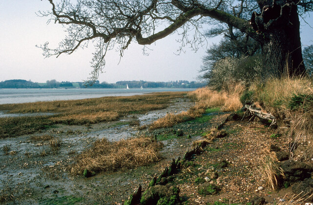
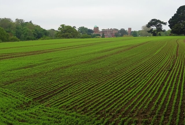
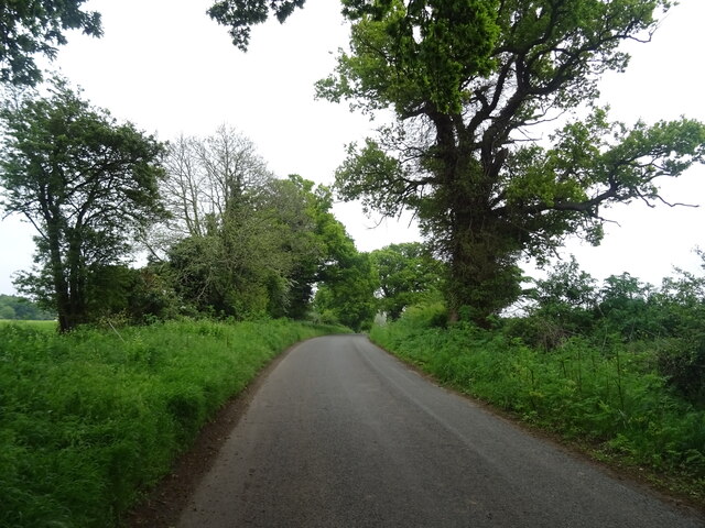
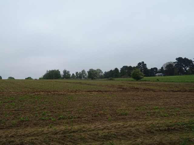
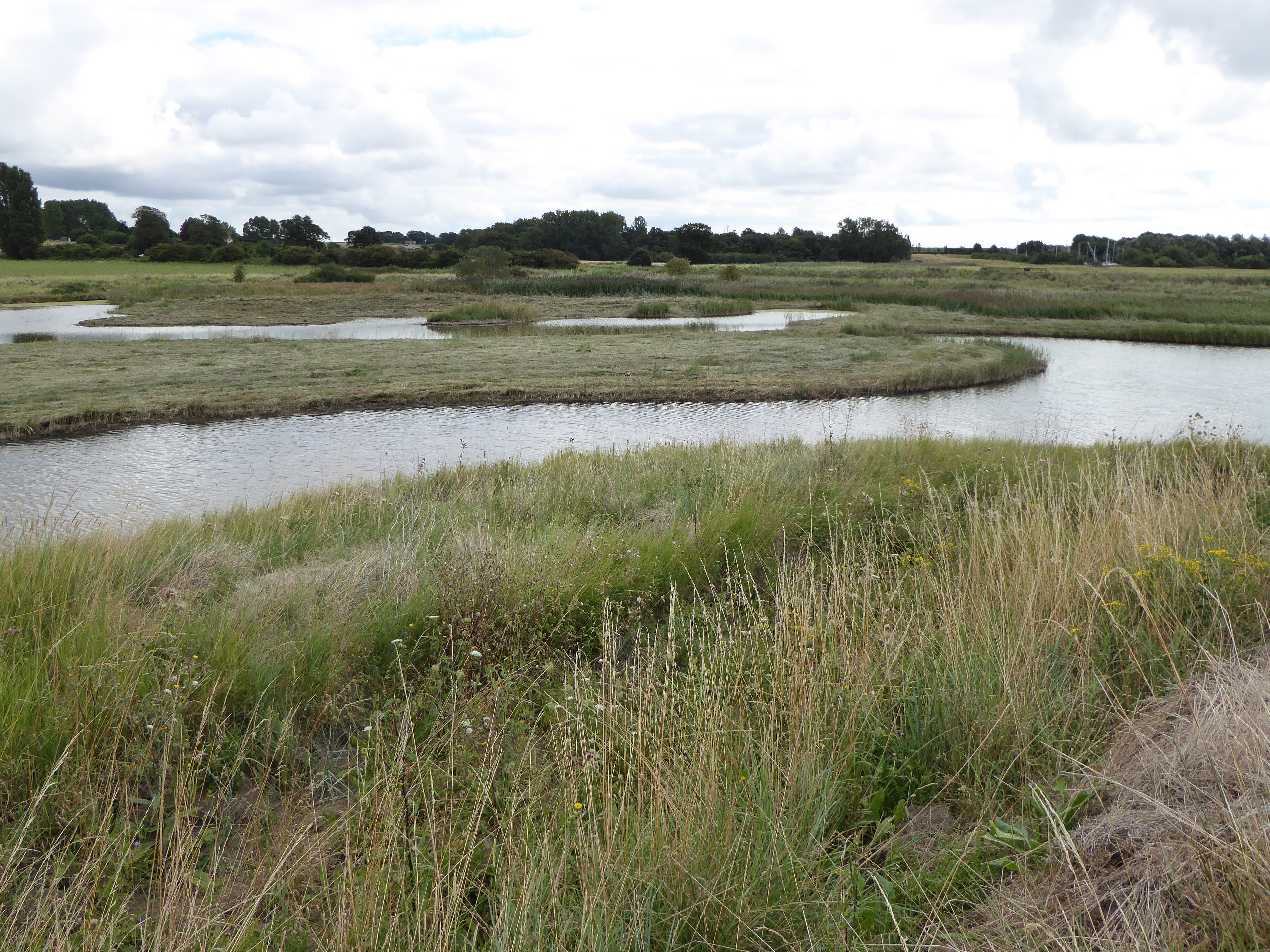
Fox's Bottom is a stunning coastal marsh and saltings located in Suffolk, England. Situated near the town of Lowestoft, it covers an area of approximately 200 hectares and is renowned for its unique natural beauty and biodiversity.

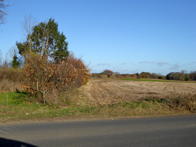
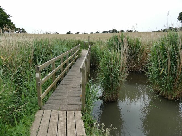
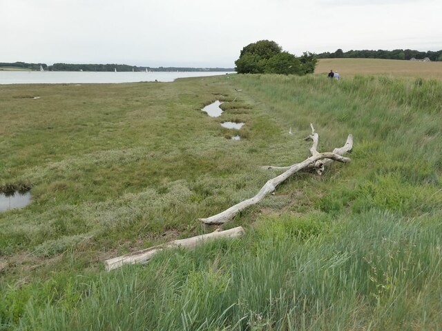
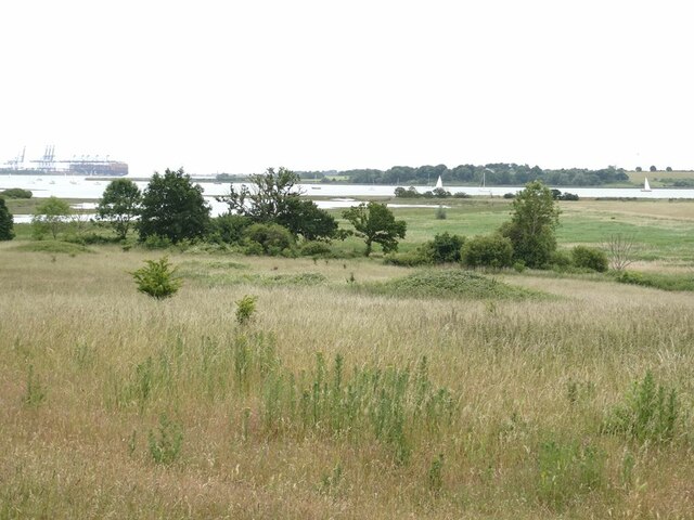
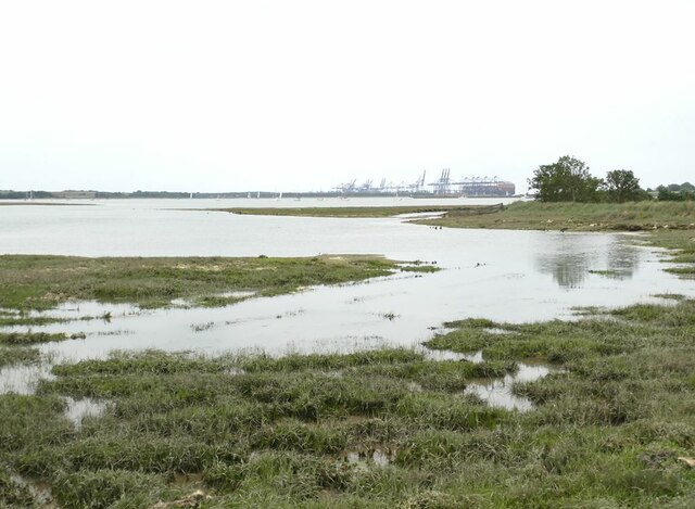
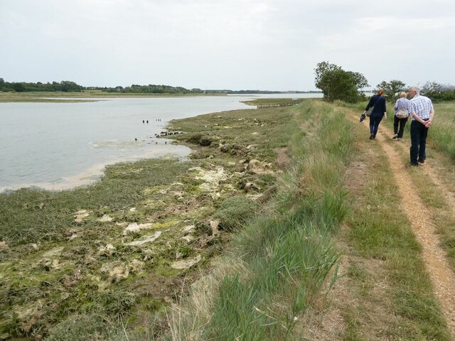
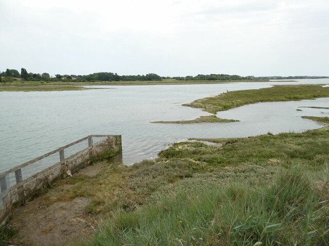
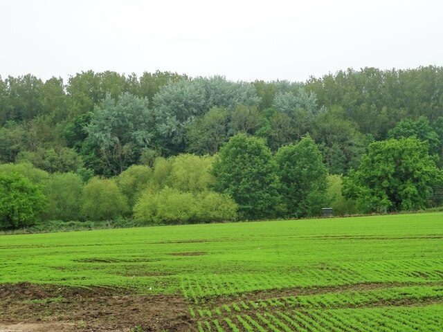
The site is characterized by its diverse landscape, combining saltmarshes, mudflats, reed beds, and ditches. It is rich in wildlife, attracting a wide array of bird species, including waders, wildfowl, and gulls. The marshes act as an important breeding ground and feeding habitat for many bird species, making it a popular destination for birdwatchers and nature enthusiasts.

The vegetation in Fox's Bottom is predominantly composed of salt-tolerant plants such as sea aster, sea lavender, and samphire. These plants thrive in the brackish conditions and provide essential food and shelter for the marsh's inhabitants. The area also supports a variety of marine life, including fish, crabs, and mollusks.

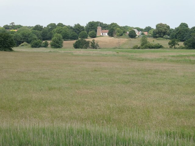
Aside from its ecological significance, Fox's Bottom offers visitors stunning panoramic views of the North Sea and its ever-changing tides. The interplay between the marshes and the sea creates a dynamic and visually captivating landscape.

To protect the unique ecology of Fox's Bottom, it has been designated as a Site of Special Scientific Interest (SSSI). The site is managed by local conservation organizations, who strive to maintain its natural balance while allowing visitors to enjoy its beauty responsibly.

Overall, Fox's Bottom is a haven for wildlife and a place of outstanding natural beauty. Its diverse ecosystems and breathtaking vistas make it a must-visit destination for nature lovers and those seeking tranquility in the Suffolk countryside.

If you have any feedback on the listing, please let us know in the comments section below.

Fox's Bottom Images

Images are sourced within 2km of 51.99538/1.2342383 or Grid Reference TM2237. Thanks to Geograph Open Source API. All images are credited.

B1456 Main Road, Chelmondiston
Field north of B1456
Nacton shore of the River Orwell My mother was born in Nacton and she talked about taking the track to the Orwell. On this occasion my wife and I did the walk in her memory. The damaged tree in the foreground may be the same tree as appears toppled in later images.  Still standing in  <a href="https://www.geograph.org.uk/photo/861632">TM2139 : Hulk on the shore</a>.
Nacton shore of the River Orwell
My mother was born in Nacton and she talked about taking the track to the Orwell. On this occasion my wife and I did the walk in her memory. The damaged tree in the foreground may be the same tree as appears toppled in later images. Still standing in TM2139 : Hulk on the shore.
Footbridge over the Cut The Cut is a drain  on  Levington Marsh.
Footbridge over the Cut
The Cut is a drain on Levington Marsh.
Brook House House on the Drift, one time occupied by the author Arthur Ransome (1884-1967), author best known for his "Swallows and Amazons" series of children's books.
Brook House
House on the Drift, one time occupied by the author Arthur Ransome (1884-1967), author best known for his "Swallows and Amazons" series of children's books.
The Ship, Levington Grade II listed pub with thatched roof. The Ship has burned down twice, most recently in March 2019.
The Ship, Levington
Grade II listed pub with thatched roof. The Ship has burned down twice, most recently in March 2019.
Driftwood on the shore of the River Orwell
Levington Marshes Looking down from Levington village to Levington Creek, the River Orwell and in the distance the container port at Felixstowe.
Levington Marshes
Looking down from Levington village to Levington Creek, the River Orwell and in the distance the container port at Felixstowe.
Levington Marshes Looking from the sea wall towards Levington village and church.
Levington Marshes
Looking from the sea wall towards Levington village and church.
Levington Creek With a distant view of the container port of Felixstowe.
Levington Creek
With a distant view of the container port of Felixstowe.
Path beside Levington Creek
Levington Creek Arm of the Orwell estuary.
Levington Creek
Arm of the Orwell estuary.
Levington village centre With village sign and ancient cannon.
Levington village centre
With village sign and ancient cannon.
Crop field off Levington Road Towards Orwell Park House.
Crop field off Levington Road
Towards Orwell Park House.
Crop field towards Broke Hill Woods South of Levington Road.
Crop field towards Broke Hill Woods
South of Levington Road.
Levington Road National Cycle Route 51
Levington Road
National Cycle Route 51
Fields near Levington
Entering Levington  On National Cycle Route 51.
Entering Levington
On National Cycle Route 51.
Show me another place!

Fox's Bottom is located at Grid Ref: TM2237 (Lat: 51.99538, Lng: 1.2342383)

Administrative County: Suffolk

District: Babergh

Police Authority: Suffolk

What 3 Words

///soaps.motel.kilt. Near Shotley Gate, Suffolk

Nearby Locations

Fox's Bottom Colton Creek

Related Wikis

Orwell Estuary

Orwell Estuary is a 1,335.7 hectare biological Site of Special Scientific Interest which stretches along the River Orwell and its banks between Felixstowe...

Broke Hall

Broke Hall is an English country house at Nacton, near Ipswich, Suffolk. It overlooks the River Orwell, opposite Pin Mill. The gardens were landscaped...
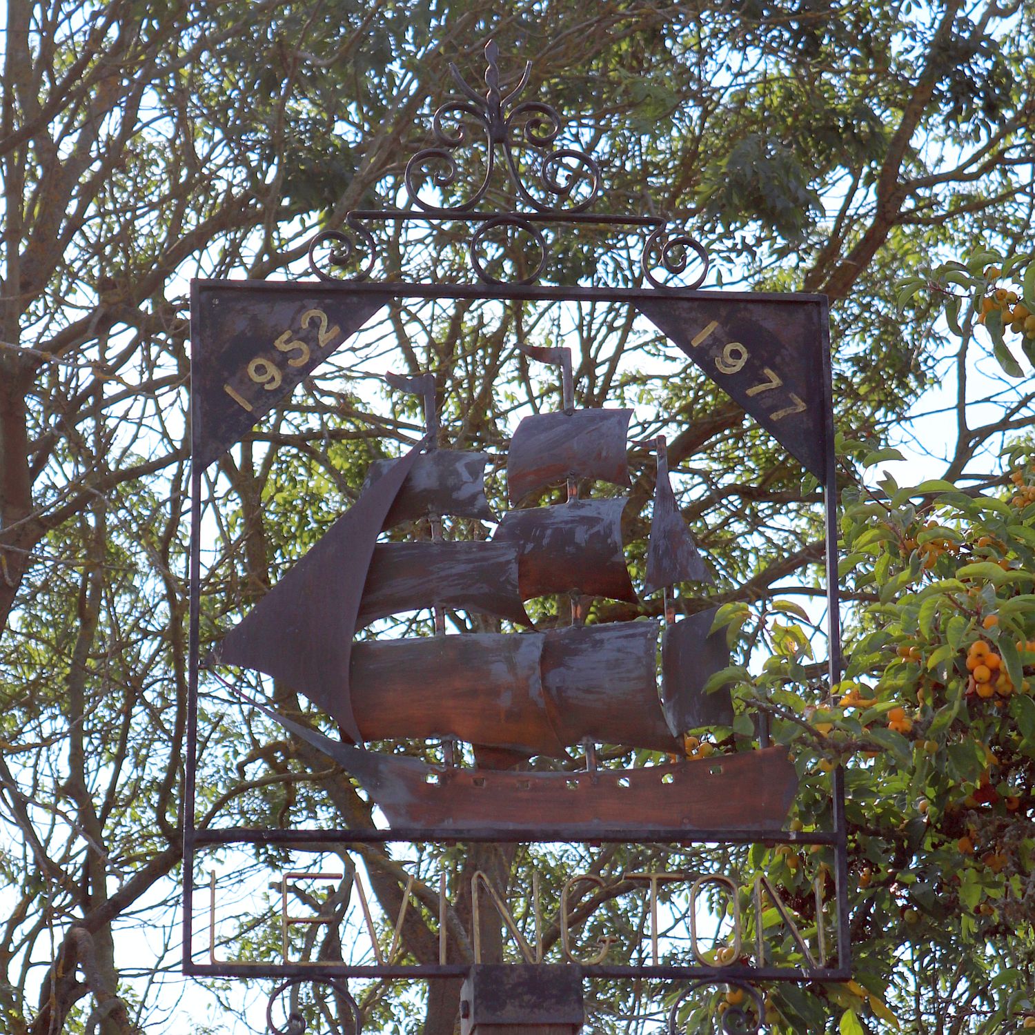
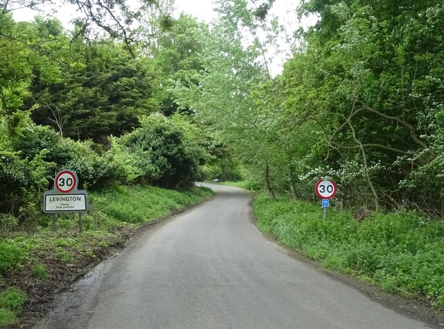
Levington

Levington is a small village in the county of Suffolk, England in the East Suffolk district. The population of the parish including Stratton Hall at the...

Pin Mill

Pin Mill is a hamlet on the south bank of the tidal River Orwell, on the outskirts of the village of Chelmondiston, on the Shotley peninsula in southern...

Orwell Park School

Orwell Park School is a day and boarding preparatory school for boys and girls in the village of Nacton on the edge of Ipswich in the English county of...

Chelmondiston

Chelmondiston is a small village and civil parish in Suffolk, England located on the Shotley Peninsula, five miles south-east of Ipswich. The hamlet of...

Levington Lagoon

Levington Lagoon is a 5 hectare nature reserve south-east of Levington in Suffolk. It is owned by Suffolk Yacht Harbour Ltd and managed by the Suffolk...

Nacton Meadows

Nacton Meadows is a 4.5-hectare (11-acre) biological Site of Special Scientific Interest north-west of Levington in Suffolk. It is in the Suffolk Coast...

Nearby Amenities

Located within 500m of 51.99538,1.2342383
Seamark Buoy Lateral Category: starboard
Seamark Buoy Lateral Colour: green
Seamark Buoy Lateral Shape: conical
Seamark Buoy Lateral System: iala-a
Seamark Light Character: Q
Seamark Light Colour: green
Seamark Name: Bay
Seamark Type: buoy_lateral
Lat/Long: 51.9982382/1.2365957
Seamark Buoy Lateral Category: port
Seamark Buoy Lateral Colour: red
Seamark Buoy Lateral Shape: can
Seamark Buoy Lateral System: iala-a
Seamark Light Character: Fl
Seamark Light Colour: red
Seamark Light Period: 2.5
Seamark Name: Foxes Bottom
Seamark Type: buoy_lateral
Lat/Long: 51.9980532/1.2302228
Seamark Buoy Lateral Category: port
Seamark Buoy Lateral Colour: red
Seamark Buoy Lateral Shape: can
Seamark Buoy Lateral System: iala-a
Seamark Light Character: Q
Seamark Light Colour: red
Seamark Name: No. 4
Seamark Type: buoy_lateral
Lat/Long: 51.9973993/1.2359198
The data included in this document is from www.openstreetmap.org. The data is made available under ODbL.

Have you been to Fox's Bottom?

Leave your review of Fox's Bottom below (or comments, questions and feedback).