Colton Creek
Sea, Estuary, Creek in Suffolk Babergh
England
Colton Creek
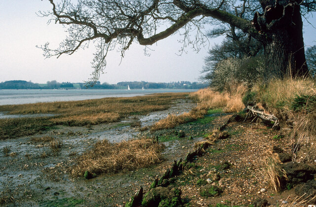
Colton Creek is a small water body located in the coastal region of Suffolk, England. It is situated near the village of Colton and flows into the North Sea. The creek serves as an estuary for several smaller tributaries and is an important natural feature in the area.
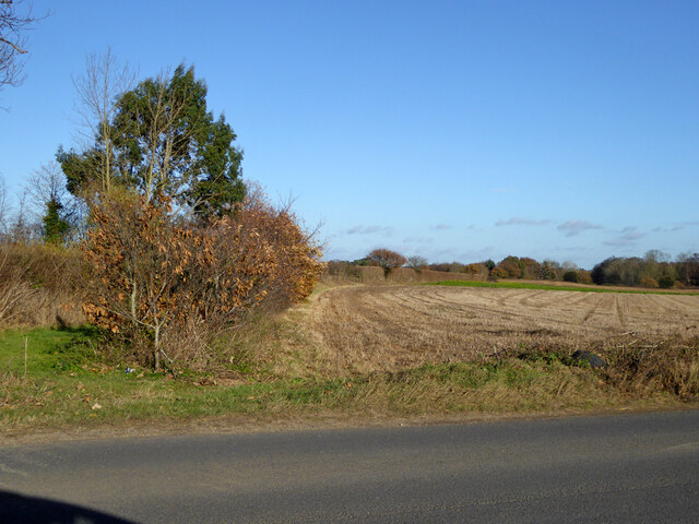
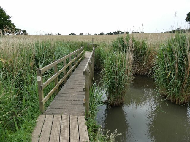
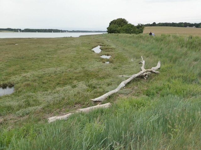
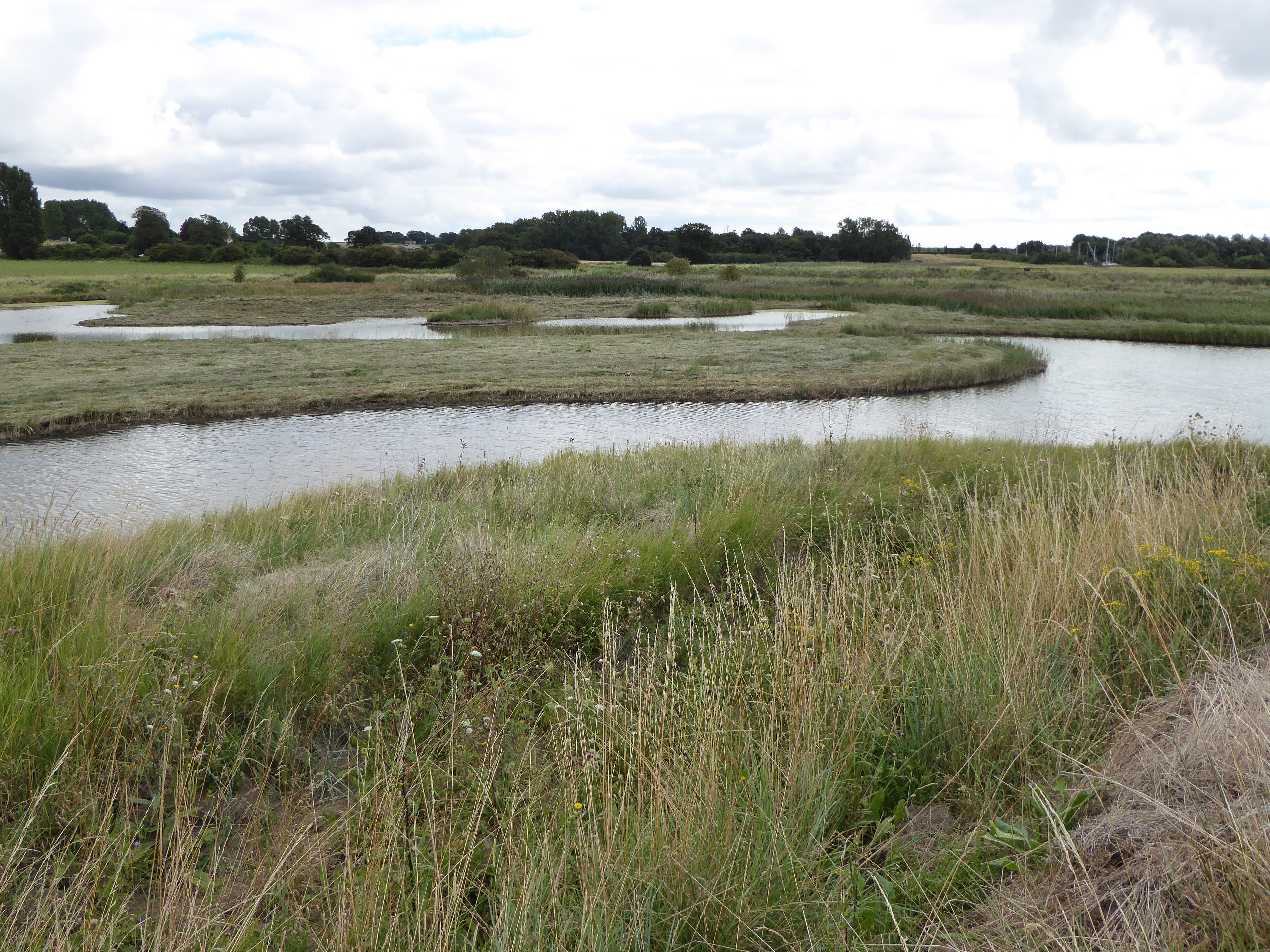
The creek is characterized by its calm and meandering flow, surrounded by picturesque landscapes of marshes, reed beds, and mudflats. These habitats provide a haven for a diverse range of flora and fauna, making it a popular spot for nature enthusiasts and birdwatchers. The area is known to host a variety of bird species, including waders, ducks, and seabirds.
Colton Creek also plays a crucial role in supporting local fisheries, as it serves as a breeding ground and nursery for several fish species. It is particularly important for the survival of young fish, providing them with shelter and abundant food sources.
The waters of Colton Creek are influenced by tidal movements, with the water levels fluctuating throughout the day. During high tide, the creek is connected to the North Sea, allowing for the exchange of water and marine life. At low tide, the creek exposes muddy banks and sandbars, creating a unique ecosystem that supports marine organisms adapted to such conditions.
The surrounding area of Colton Creek is predominantly agricultural, with farmland stretching along its banks. The creek also serves as a natural boundary between different parcels of land, contributing to the local landscape's diversity.
Overall, Colton Creek is a valuable and ecologically significant water body, contributing to the natural beauty and biodiversity of the Suffolk coast.
If you have any feedback on the listing, please let us know in the comments section below.
Colton Creek Images
Images are sourced within 2km of 51.992075/1.2432367 or Grid Reference TM2237. Thanks to Geograph Open Source API. All images are credited.


Colton Creek is located at Grid Ref: TM2237 (Lat: 51.992075, Lng: 1.2432367)
Administrative County: Suffolk
District: Babergh
Police Authority: Suffolk
What 3 Words
///angry.infinite.inflating. Near Shotley Gate, Suffolk
Nearby Locations
Related Wikis
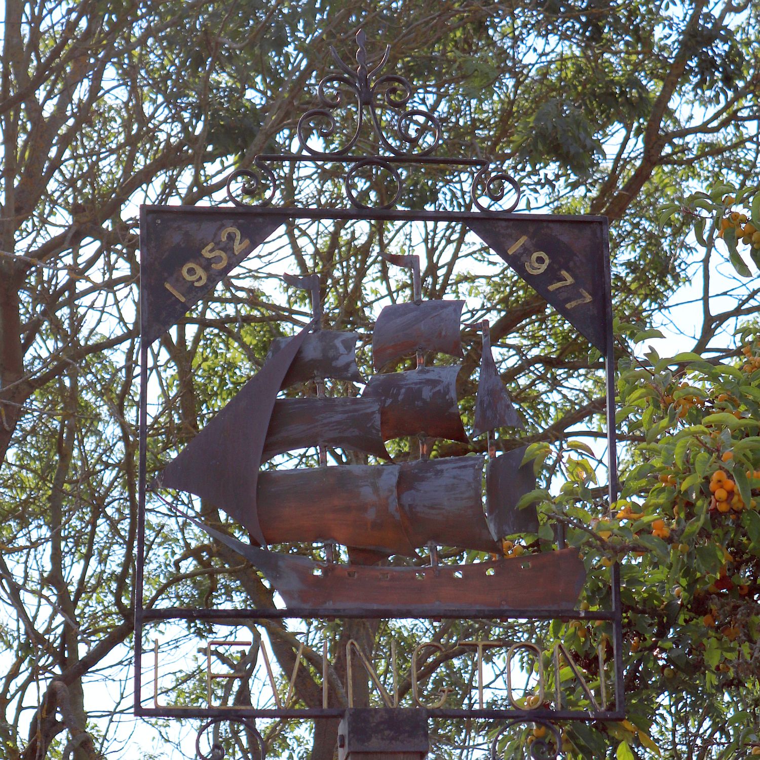
Levington
Levington is a small village in the county of Suffolk, England in the East Suffolk district. The population of the parish including Stratton Hall at the...

Orwell Estuary
Orwell Estuary is a 1,335.7 hectare biological Site of Special Scientific Interest which stretches along the River Orwell and its banks between Felixstowe...

Broke Hall
Broke Hall is an English country house at Nacton, near Ipswich, Suffolk. It overlooks the River Orwell, opposite Pin Mill. The gardens were landscaped...
Levington Lagoon
Levington Lagoon is a 5 hectare nature reserve south-east of Levington in Suffolk. It is owned by Suffolk Yacht Harbour Ltd and managed by the Suffolk...
Nearby Amenities
Located within 500m of 51.992075,1.2432367Have you been to Colton Creek?
Leave your review of Colton Creek below (or comments, questions and feedback).