Long Rock
Coastal Marsh, Saltings in Kent Canterbury
England
Long Rock
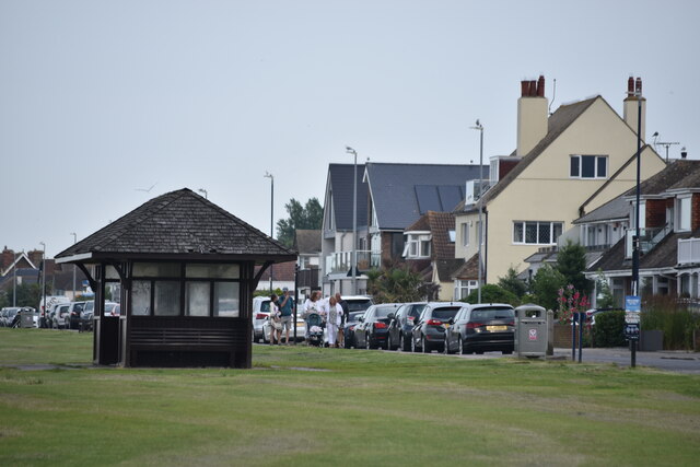
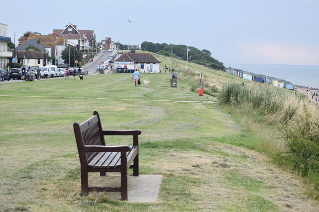
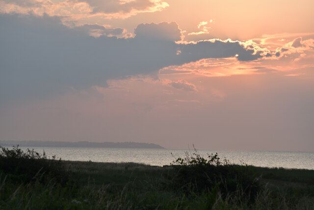
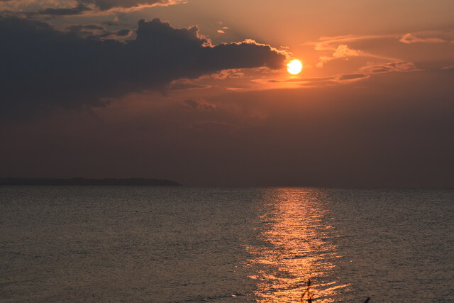
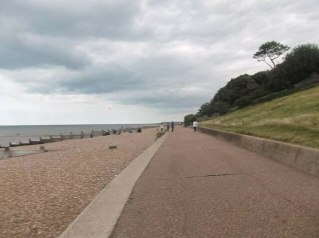
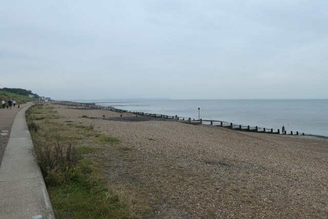
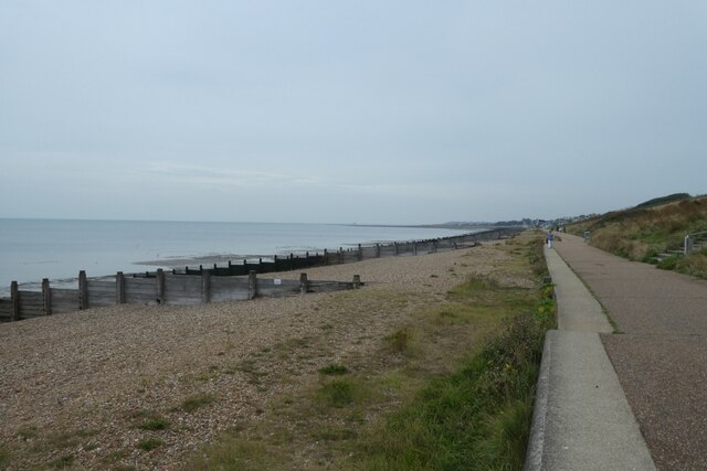
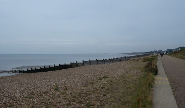
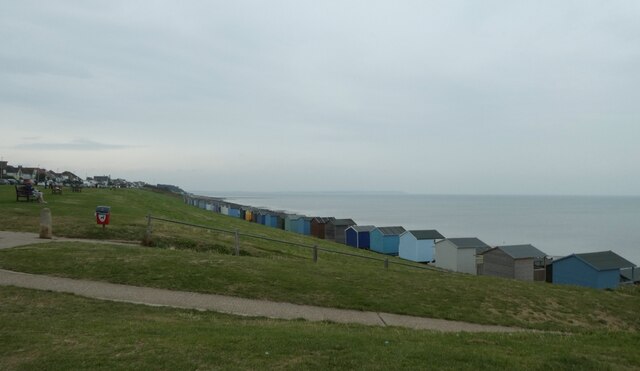
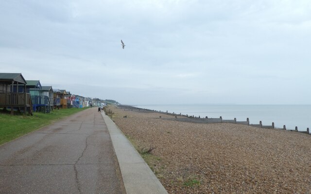
Long Rock is a coastal marsh located in the county of Kent, England. Situated on the southeastern coast of the country, it is part of the larger Saltings area. Long Rock spans approximately 3.5 kilometers in length and varies in width, with the landscape consisting of a mixture of grassland, salt marshes, and mudflats.
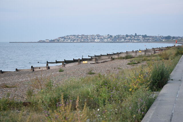
The marsh is characterized by its proximity to the estuary of the River Stour, which flows into the North Sea. This unique location allows for a diverse range of flora and fauna to thrive in the area. The salt marshes and mudflats provide an important habitat for a variety of bird species, including waders such as the redshank, curlew, and dunlin.
The grassland areas of Long Rock are home to a multitude of plant species, including sea lavender, thrift, and sea aster, which have adapted to the saline conditions. These plants not only add visual interest to the landscape but also play a crucial role in stabilizing the soil and preventing erosion.
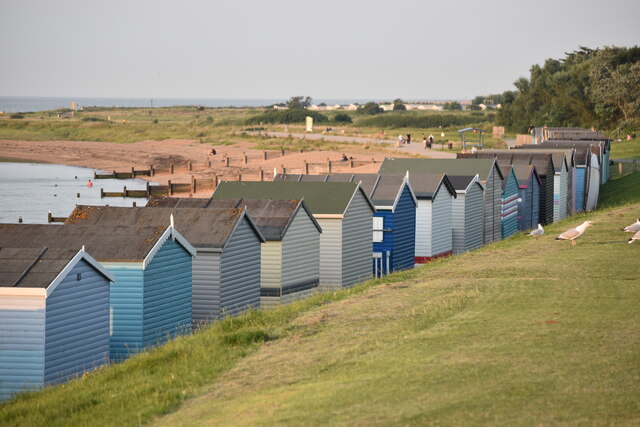
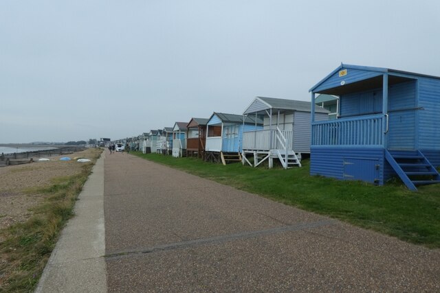
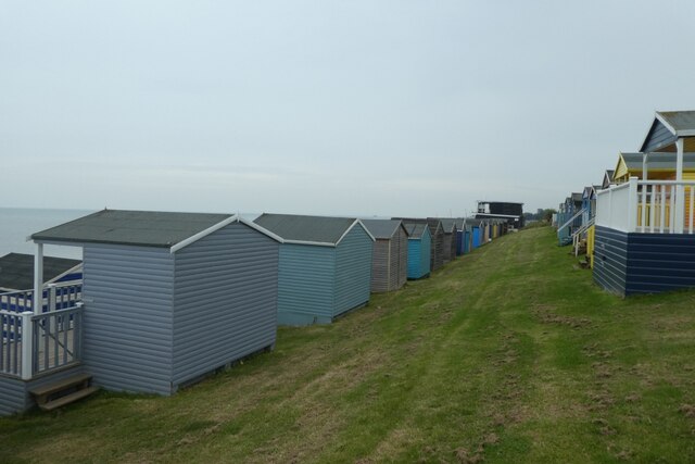
Long Rock offers visitors the opportunity to observe and appreciate the natural beauty of the coastal environment. It is a popular spot for birdwatching and nature enthusiasts, as well as those seeking a peaceful retreat away from the hustle and bustle of urban life.
In addition to its ecological significance, Long Rock also serves as a protective barrier against coastal erosion, helping to safeguard the surrounding areas from the erosive forces of the sea. The marshland acts as a natural defense, absorbing and dissipating the energy of incoming waves, thereby reducing the risk of flooding and damage to nearby settlements.
Overall, Long Rock in Kent is a picturesque and ecologically important coastal marsh, offering a refuge for wildlife, a recreational space for visitors, and a vital defense against coastal erosion.
If you have any feedback on the listing, please let us know in the comments section below.
Long Rock Images
Images are sourced within 2km of 51.370518/1.0711241 or Grid Reference TR1367. Thanks to Geograph Open Source API. All images are credited.
Long Rock is located at Grid Ref: TR1367 (Lat: 51.370518, Lng: 1.0711241)
Administrative County: Kent
District: Canterbury
Police Authority: Kent
What 3 Words
///ranch.fills.result. Near Tankerton, Kent
Nearby Locations
Related Wikis

Swalecliffe
Swalecliffe is a part of the ribbon development of the north Kent coast between Whitstable and Herne Bay in Southeast England. It forms Swalecliffe ward...

Chestfield & Swalecliffe railway station
Chestfield and Swalecliffe railway station is on the Ramsgate branch of the Chatham Main Line in England, serving the villages of Chestfield, Swalecliffe...
Heart Kent
Heart Kent (previously Invicta FM) was an Independent Local Radio station owned and operated by Global Radio as part of the Heart network. It broadcast...

Chestfield
Chestfield is a village (and civil parish and with Swalecliffe a district council ward) in the Canterbury District of Kent, England. The parish is centred...

Hampton-on-Sea
Hampton-on-Sea is a drowned and abandoned village in what is now the Hampton area of Herne Bay, Kent. It grew from a tiny fishing hamlet in 1864 at the...

Hampton, Herne Bay
Hampton is the coastal west end of Herne Bay, Kent, England. Formerly the site of the village of Hampton-on-Sea, the settlement is underwater due to massive...

Tankerton
Tankerton (formerly Tankerton-on-Sea) is a suburb of Whitstable in Kent in south-east England. It was designed in the late 19th century as the train network...
Greenhill, Kent
Greenhill is an outlying suburb of the coastal town of Herne Bay, in Kent in southeast England. The erstwhile Thanet Way, now renumbered as the A2990 road...
Nearby Amenities
Located within 500m of 51.370518,1.0711241Have you been to Long Rock?
Leave your review of Long Rock below (or comments, questions and feedback).