Salthouse Marshes
Coastal Marsh, Saltings in Norfolk North Norfolk
England
Salthouse Marshes

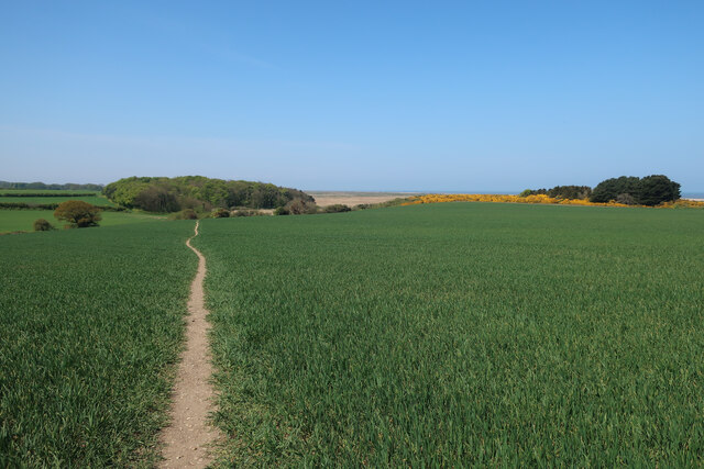
Salthouse Marshes, located in Norfolk, England, is a breathtaking coastal marshland that stretches along the North Sea coast. This diverse and ecologically important area is part of the Norfolk Coast Area of Outstanding Natural Beauty, renowned for its scenic beauty and rich biodiversity.
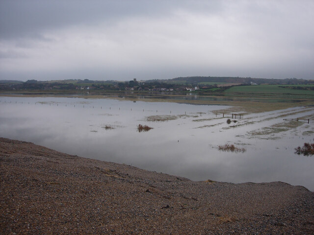
Covering an area of approximately 1,000 acres, Salthouse Marshes consists of a combination of salt marshes and saltings. Salt marshes are low-lying areas that are flooded and drained by the tides, while saltings are areas of salt marsh that have been reclaimed by human activity for agricultural purposes.
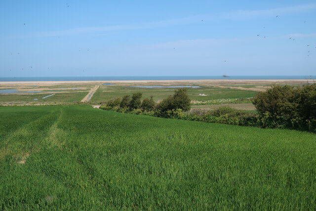
The main vegetation found in Salthouse Marshes includes salt-tolerant plants such as sea lavender, sea aster, and samphire. These plants not only provide a stunning display of colors throughout the year but also play a crucial role in stabilizing the marshland and providing a habitat for a wide range of bird species.
In fact, Salthouse Marshes is well-known as a haven for birdwatchers, with over 200 different bird species recorded in the area. Visitors can spot a variety of birds, including wading birds like avocets, lapwings, and redshanks, as well as raptors like marsh harriers and peregrine falcons.
The marshes are also home to various mammals, reptiles, and insects, including seals that can sometimes be seen basking on the nearby beaches. The combination of salt marsh, mudflats, and open water provides a diverse ecosystem that supports a wide range of wildlife.
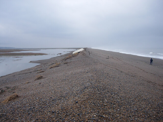
Salthouse Marshes is not only a haven for wildlife enthusiasts but also offers stunning panoramic views of the North Sea and the surrounding Norfolk countryside. It is a place where visitors can immerse themselves in the beauty of nature, enjoy peaceful walks, and witness the dynamic interplay between land and sea.
If you have any feedback on the listing, please let us know in the comments section below.
Salthouse Marshes Images
Images are sourced within 2km of 52.955741/1.0796377 or Grid Reference TG0644. Thanks to Geograph Open Source API. All images are credited.


Salthouse Marshes is located at Grid Ref: TG0644 (Lat: 52.955741, Lng: 1.0796377)
Administrative County: Norfolk
District: North Norfolk
Police Authority: Norfolk
What 3 Words
///remainder.host.found. Near Sheringham, Norfolk
Nearby Locations
Related Wikis

Salthouse Marshes
Salthouse Marshes is a 66-hectare (160-acre) nature reserve west of Sheringham in Norfolk. It is managed by the Norfolk Wildlife Trust. It is part of...
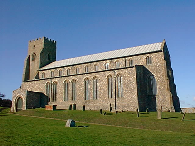
Salthouse
Salthouse is a village and a civil parish in the English county of Norfolk. It is situated on the salt marshes of North Norfolk. It is 3.8 miles (6.1 km...
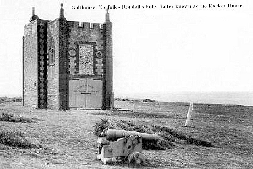
Randall's Folly
Randall's Folly was a building on the coast at Salthouse, Norfolk, England. No trace of it remains, largely because of coastal erosion. Although called...

Cley Marshes
Cley Marshes is a 176-hectare (430-acre) nature reserve on the North Sea coast of England just outside the village of Cley next the Sea, Norfolk. A reserve...
Nearby Amenities
Located within 500m of 52.955741,1.0796377Have you been to Salthouse Marshes?
Leave your review of Salthouse Marshes below (or comments, questions and feedback).