Arnold's Marsh
Coastal Marsh, Saltings in Norfolk North Norfolk
England
Arnold's Marsh

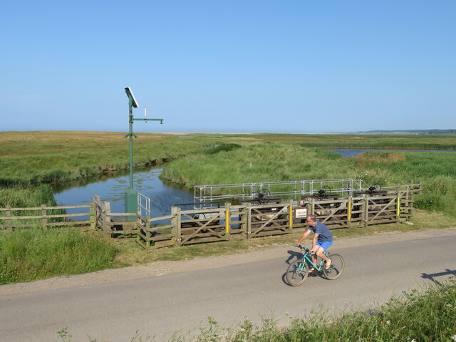
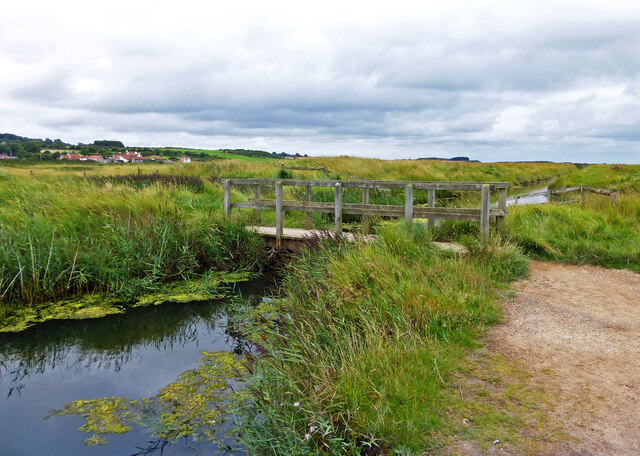
Arnold's Marsh is a coastal marsh located in Norfolk, England. Situated near the town of Cley-next-the-Sea, it is a significant part of the Norfolk Coast Area of Outstanding Natural Beauty. The marsh is characterized by its vast expanse of wetland and saltings, which are salt marshes formed by the deposition of salt from seawater.
The marsh is a haven for a diverse range of wildlife, making it an essential conservation area. Its saltmarsh habitat provides a breeding ground and feeding area for a variety of bird species, including avocets, marsh harriers, and redshanks. These birds can be observed during the breeding season, where they nest and raise their young.
The marsh is also home to an array of plant species that have adapted to the saline conditions. Sea lavender, glasswort, and sea purslane are among the vegetation that thrives in this unique environment. These plants not only contribute to the marsh's ecological diversity but also create a stunning visual display during the flowering season.
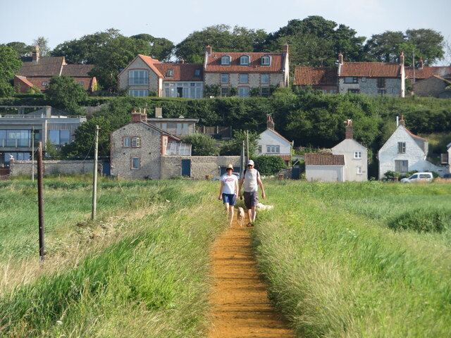
Visitors to Arnold's Marsh can explore its beauty via a network of footpaths and bird hides. These facilities provide an opportunity for birdwatching and photography, allowing visitors to observe the marsh's inhabitants up close. The marsh is particularly popular among nature enthusiasts and birdwatchers, who flock to the area to witness the diverse range of species that inhabit the wetland ecosystem.
Arnold's Marsh is an important coastal marsh in Norfolk, playing a vital role in preserving and supporting the region's biodiversity. Its unique habitat and stunning scenery make it a must-visit destination for those interested in nature and wildlife.
If you have any feedback on the listing, please let us know in the comments section below.
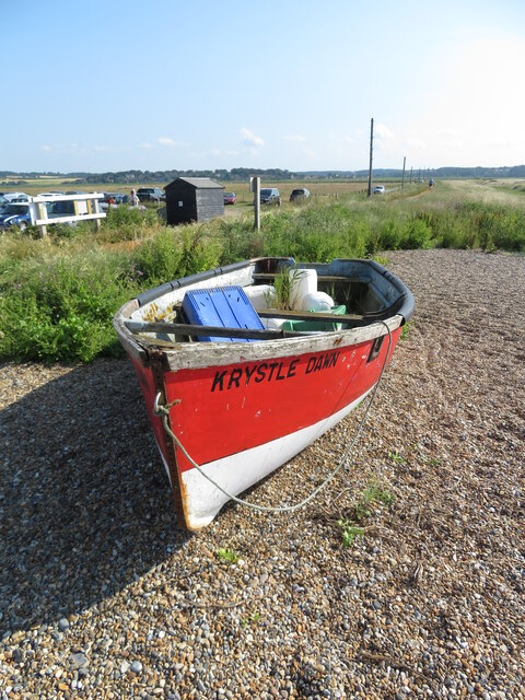
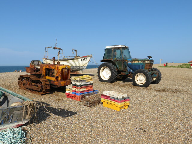
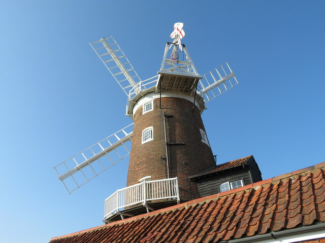
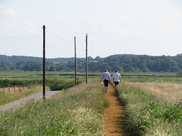
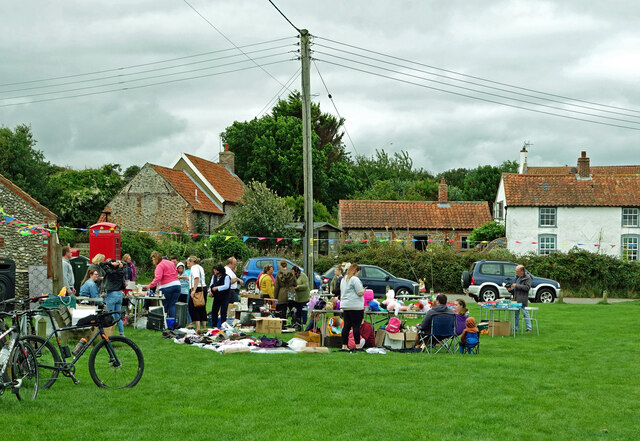
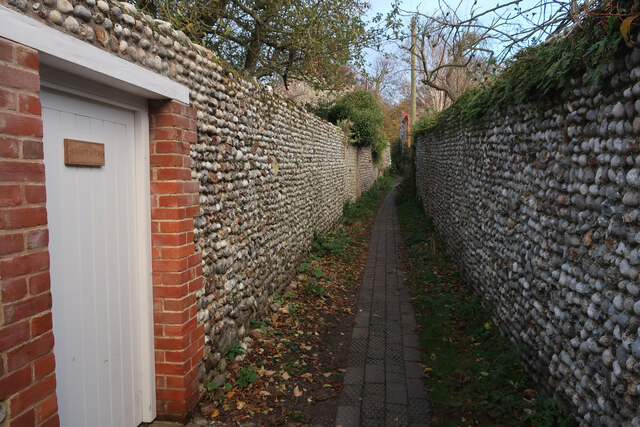
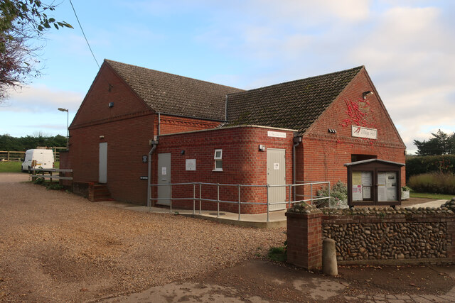
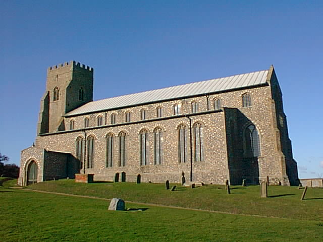
Arnold's Marsh Images
Images are sourced within 2km of 52.960335/1.068229 or Grid Reference TG0644. Thanks to Geograph Open Source API. All images are credited.


Arnold's Marsh is located at Grid Ref: TG0644 (Lat: 52.960335, Lng: 1.068229)
Administrative County: Norfolk
District: North Norfolk
Police Authority: Norfolk
What 3 Words
///cape.amps.mice. Near Sheringham, Norfolk
Nearby Locations
Related Wikis

Cley Marshes
Cley Marshes is a 176-hectare (430-acre) nature reserve on the North Sea coast of England just outside the village of Cley next the Sea, Norfolk. A reserve...

Salthouse Marshes
Salthouse Marshes is a 66-hectare (160-acre) nature reserve west of Sheringham in Norfolk. It is managed by the Norfolk Wildlife Trust. It is part of...

Cley Hall
Cley Hall, in Cley next the Sea, Norfolk, is a Grade II listed house in Norfolk. == References == == External links == http://www.mcnamarallp.co.uk/projects/cley...

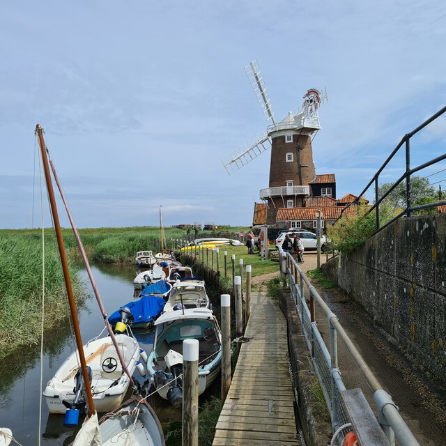
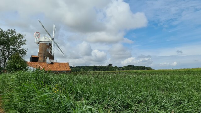
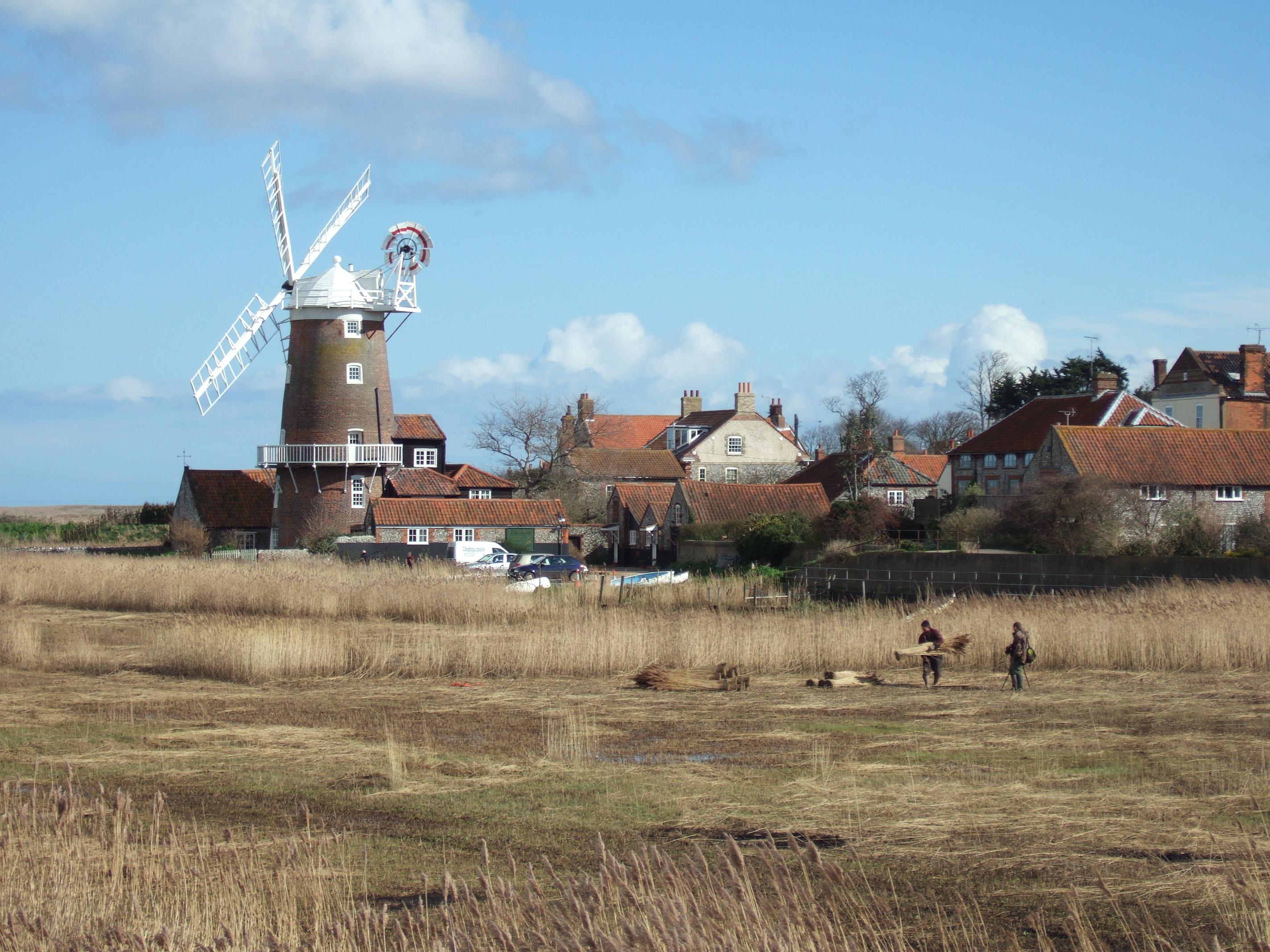
Cley Windmill
Cley Windmill is a Grade II* listed tower mill at Cley next the Sea, Norfolk, England which has been converted to residential accommodation. == History... ==

Blakeney Chapel
Blakeney Chapel is a ruined building on the coast of North Norfolk, England. Despite its name, it was probably not a chapel, nor is it in the adjoining...
Salthouse
Salthouse is a village and a civil parish in the English county of Norfolk. It is situated on the salt marshes of North Norfolk. It is 3.8 miles (6.1 km...
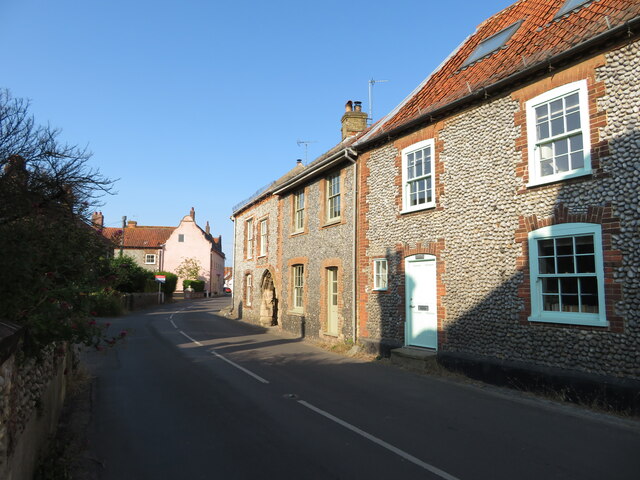
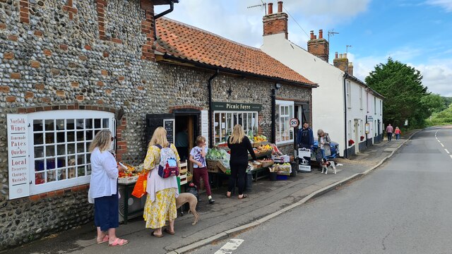
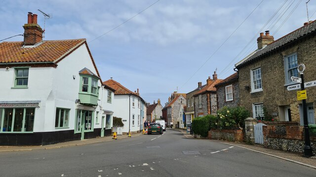
Cley next the Sea
Cley next the Sea (, ) is a village and civil parish on the River Glaven in English county of Norfolk, 4 mi (6 km) north-west of Holt and east of Blakeney...
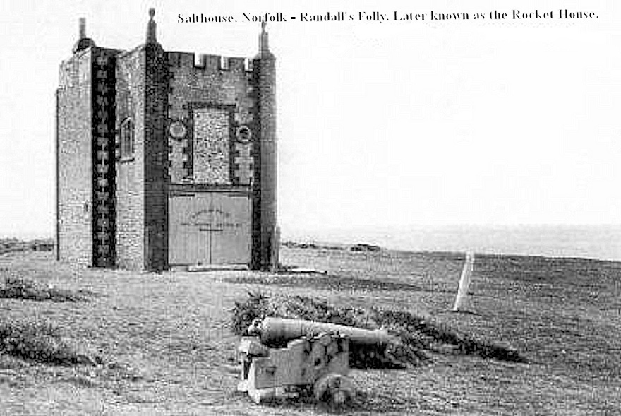
Randall's Folly
Randall's Folly was a building on the coast at Salthouse, Norfolk, England. No trace of it remains, largely because of coastal erosion.Although called...
Nearby Amenities
Located within 500m of 52.960335,1.068229Have you been to Arnold's Marsh?
Leave your review of Arnold's Marsh below (or comments, questions and feedback).