Ware Corner
Coastal Marsh, Saltings in Essex Rochford
England
Ware Corner
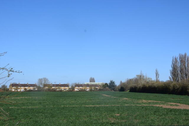
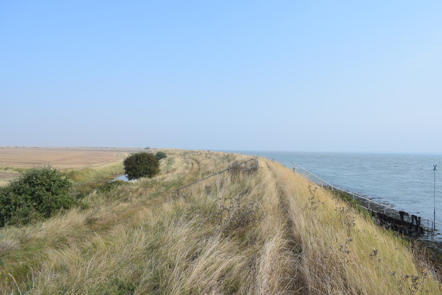
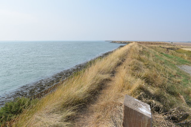
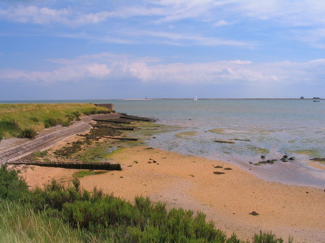
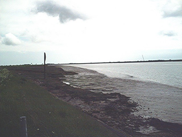
Ware Corner is a small, picturesque area located in Essex, England. Situated on the coast, it is renowned for its stunning views of the marshes and saltings that stretch out towards the North Sea.
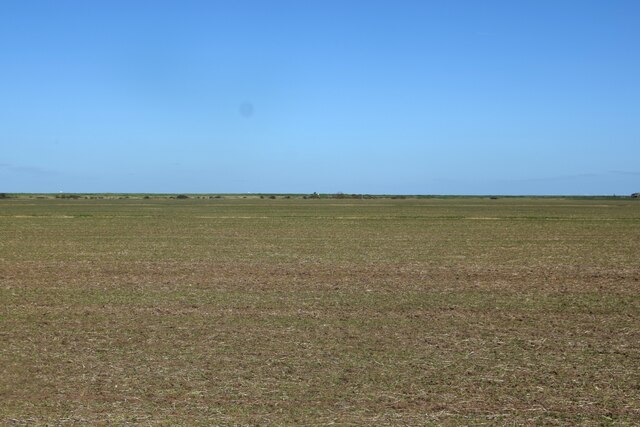
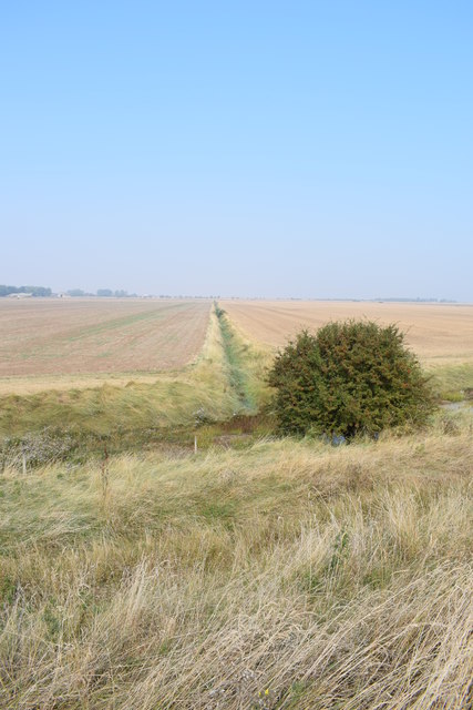
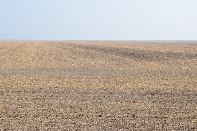
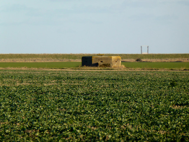
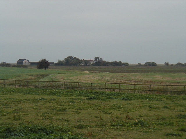
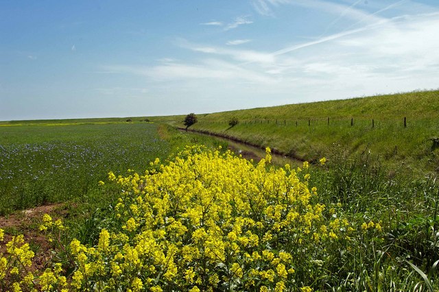
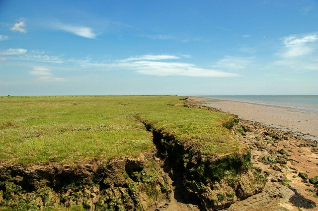
The marshes in Ware Corner are a unique ecological feature, characterized by their flat, low-lying landscape covered in a variety of grasses, sedges, and reeds. This habitat provides a crucial environment for numerous bird species, including wading birds like curlews, redshanks, and avocets. It is also a haven for various insects, amphibians, and small mammals.
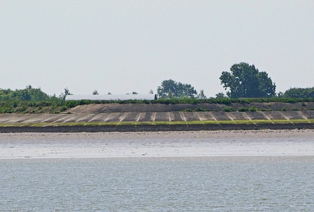
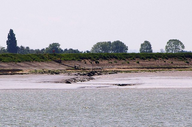
The saltings in Ware Corner are intertidal areas that are regularly flooded by the sea during high tide. This creates a brackish environment, where salt-tolerant plants thrive. These saltings offer a diverse range of habitats for marine life, with mudflats attracting shellfish, crabs, and other invertebrates. Additionally, the shallow waters attract fish and provide feeding grounds for various bird species, such as terns and gulls.
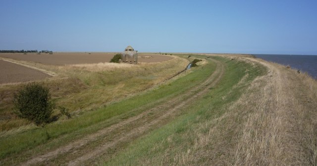
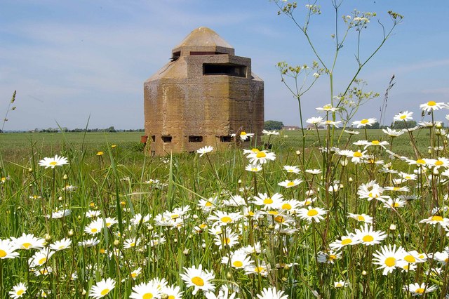
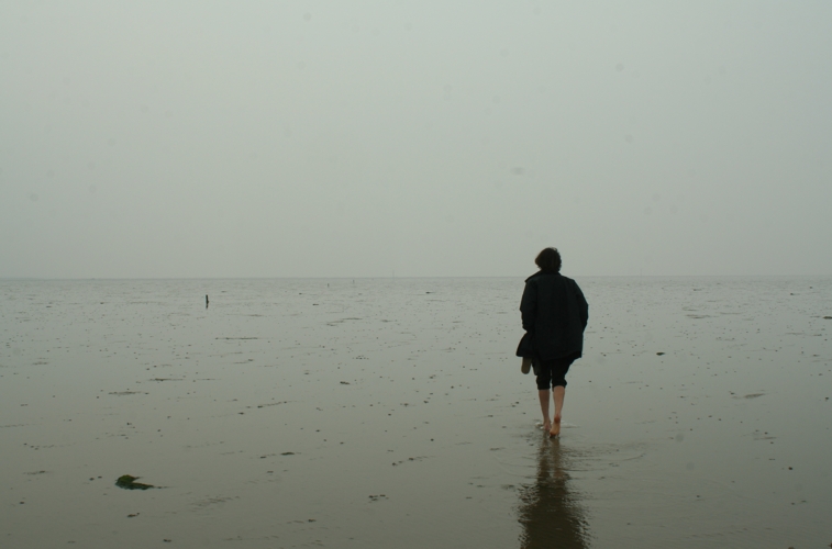
Visitors to Ware Corner can enjoy the natural beauty of the area through walking trails and observation points. The surrounding landscape offers breathtaking panoramic views, especially during sunrise and sunset. It is a popular spot for birdwatching enthusiasts, nature photographers, and those seeking tranquility amidst the serene coastal environment.
Preservation efforts are in place to protect the delicate ecosystem of Ware Corner. Local conservation organizations work tirelessly to maintain the balance between human activity and the preservation of this unique coastal marsh and saltings, ensuring its continued beauty and importance as a haven for wildlife.
If you have any feedback on the listing, please let us know in the comments section below.
Ware Corner Images
Images are sourced within 2km of 51.616447/0.91585504 or Grid Reference TR0194. Thanks to Geograph Open Source API. All images are credited.

Ware Corner is located at Grid Ref: TR0194 (Lat: 51.616447, Lng: 0.91585504)
Administrative County: Essex
District: Rochford
Police Authority: Essex
What 3 Words
///armful.move.revamping. Near Burnham-on-Crouch, Essex
Nearby Locations
Related Wikis

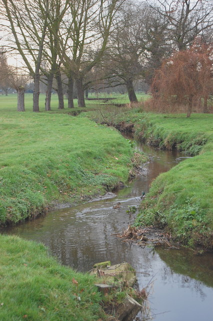
River Crouch
The River Crouch is a small river that flows entirely through the English county of Essex. The distance of the Navigation between Holliwell Point which...

Saint Mary the Virgin, Foulness Island
Saint Mary the Virgin is a parish of the Church of England on Foulness Island, in Essex, England. Before the 15th century, the island of Foulness was divided...

Foulness Island
Foulness Island () is a closed island on the east coast of Essex in England, which is separated from the mainland by narrow creeks. In the 2001 census...
River Roach
The River Roach is a river that flows entirely through the English county of Essex. It is one of four main streams that originate in the Rayleigh Hills...
Foulness SSSI
Foulness SSSI is a 10,702 hectare biological Site of Special Scientific Interest covering the shoreline between Southend-on-Sea and the Crouch estuary...

Wallasea Wetlands
Wallasea Wetlands is a reclaimed wetlands area located in Essex, England. It has been created as part of a government-funded wetlands scheme to halt the...

Wallasea Island
Wallasea Island lies in Essex, England. It is bounded to the north by the River Crouch, to the south east by the River Roach, and to the west by Paglesham...
Maplin Sands
The Maplin Sands are mudflats on the northern bank of the Thames estuary, off Foulness Island, near Southend-on-Sea in Essex, England, though they actually...
Nearby Amenities
Located within 500m of 51.616447,0.91585504Have you been to Ware Corner?
Leave your review of Ware Corner below (or comments, questions and feedback).