North Bight
Coastal Marsh, Saltings in Norfolk North Norfolk
England
North Bight

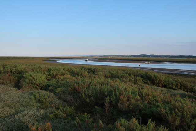
North Bight, Norfolk, is a coastal marsh area located on the eastern coast of England. This expansive stretch of land is known for its unique ecosystem and diverse wildlife. The marshes are characterized by their vast expanse of tidal mudflats, salt marshes, and saltings, which are formed by the deposition of sediment carried by the tides.
The area is rich in biodiversity and serves as an important habitat for numerous bird species, including waders and wildfowl. These marshes provide an ideal feeding ground for birds, as they are abundant in insects, worms, and other invertebrates. Several species of geese and ducks can be observed here, especially during the winter months when they migrate to the area.
The vegetation in North Bight is adapted to the saline environment and includes species such as sea lavender, samphire, and saltmarsh grass. The salt marshes act as a natural defense against coastal erosion, as the dense root systems of the plants bind the sediment together, reducing the impact of waves and tides.
North Bight is also home to several rare and protected species, including the natterjack toad, which can be found in the dune slacks and pools of the area. Additionally, the marshes provide an important breeding ground for fish and invertebrates, supporting the local fishing industry.
The unique landscape of North Bight, with its mix of mudflats, salt marshes, and saltings, offers a haven for wildlife enthusiasts and nature lovers. It provides an opportunity to observe and appreciate the delicate balance of nature in a coastal marsh environment.
If you have any feedback on the listing, please let us know in the comments section below.
North Bight Images
Images are sourced within 2km of 52.973696/1.006787 or Grid Reference TG0146. Thanks to Geograph Open Source API. All images are credited.


North Bight is located at Grid Ref: TG0146 (Lat: 52.973696, Lng: 1.006787)
Administrative County: Norfolk
District: North Norfolk
Police Authority: Norfolk
What 3 Words
///debating.escapes.couriers. Near Wells-next-the-Sea, Norfolk
Nearby Locations
Related Wikis
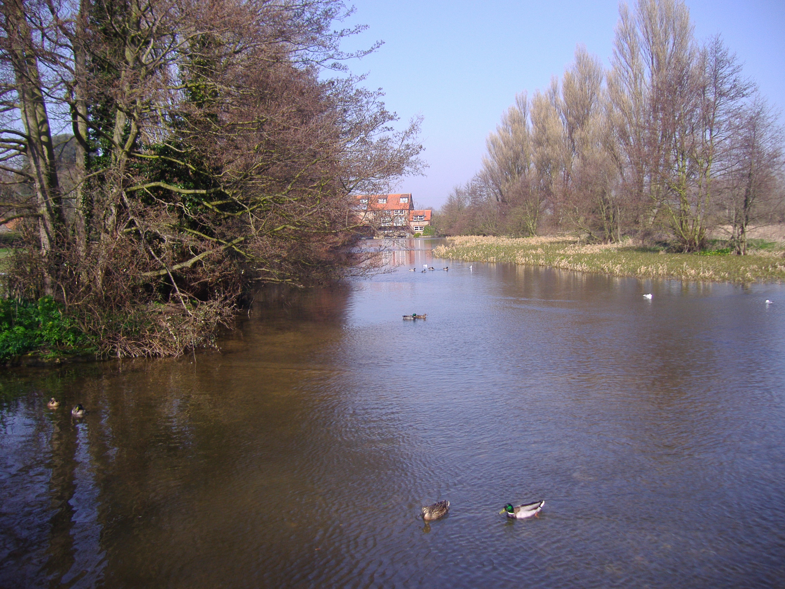
River Glaven
The River Glaven in the eastern English county of Norfolk is 10.5 mi (16.9 km) long and flows through picturesque North Norfolk countryside to the North...
Norfolk Coast AONB
The Norfolk Coast Area of Outstanding Natural Beauty is a protected landscape in Norfolk, England. It covers over 450 km2 of coastal and agricultural...
Blakeney Point
Blakeney Point (designated as Blakeney National Nature Reserve) is a national nature reserve situated near to the villages of Blakeney, Morston and Cley...

Blakeney Guildhall
Blakeney Guildhall is a building in the coastal village of Blakeney in the north of the county of Norfolk. The property is in the care of English Heritage...

Blakeney, Norfolk
Blakeney is a coastal village and civil parish in the English county of Norfolk. Blakeney lies within the Norfolk Coast AONB (Area of Outstanding Natural...

Morston
Morston is a village and civil parish in the English county of Norfolk. It covers an area of 8.68 km2 (3.35 sq mi) and had a population of 86 in 42 households...

Blakeney Windmill
Blakeney Tower Windmill, built in 1769, is located on Friar Farm just to the east of the village of Blakeney in the English county of Norfolk. The mill...

Blakeney Chapel
Blakeney Chapel is a ruined building on the coast of North Norfolk, England. Despite its name, it was probably not a chapel, nor is it in the adjoining...
Nearby Amenities
Located within 500m of 52.973696,1.006787Have you been to North Bight?
Leave your review of North Bight below (or comments, questions and feedback).