North Side
Coastal Marsh, Saltings in Norfolk North Norfolk
England
North Side
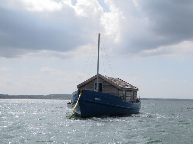
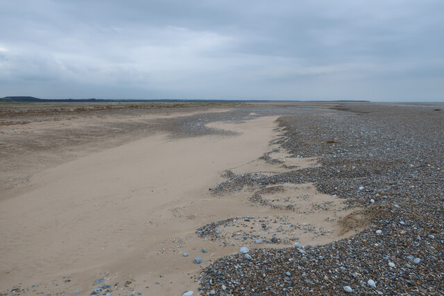
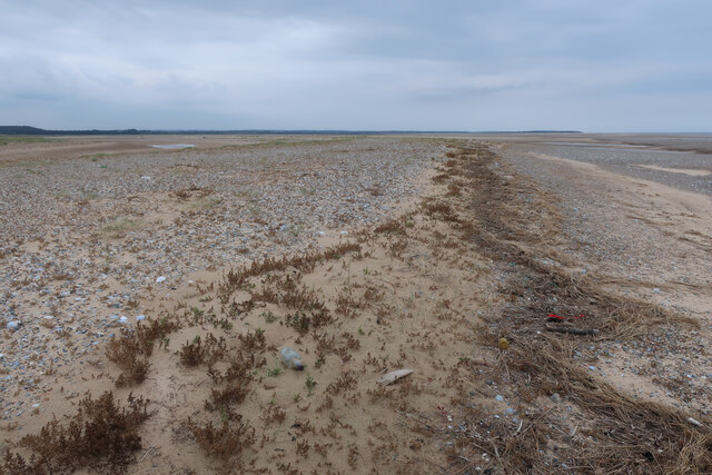
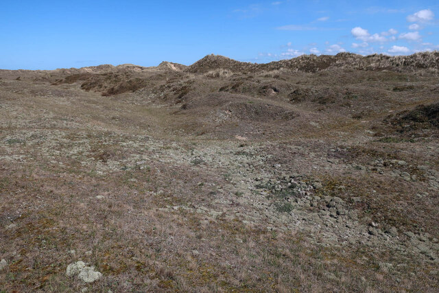
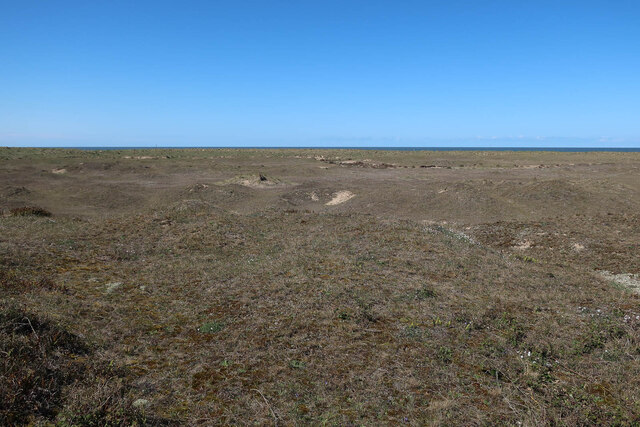
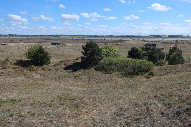
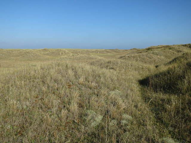
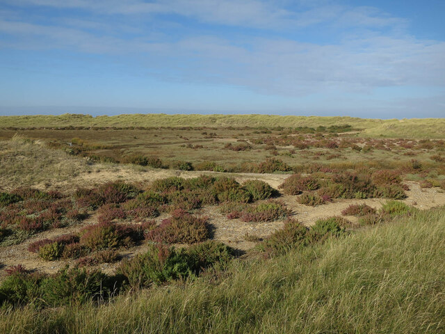
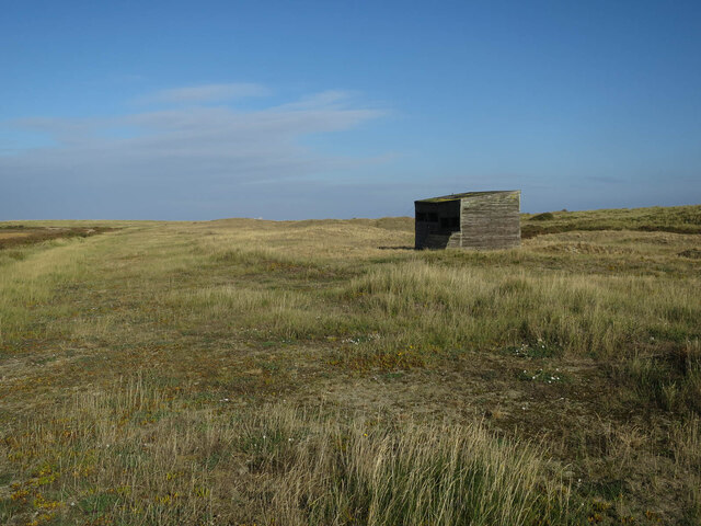
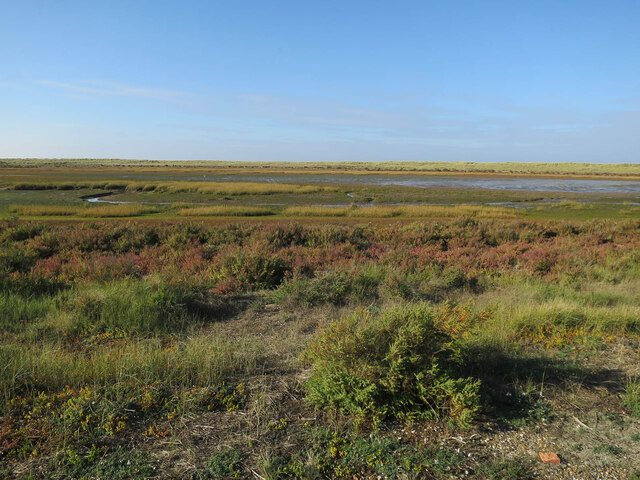
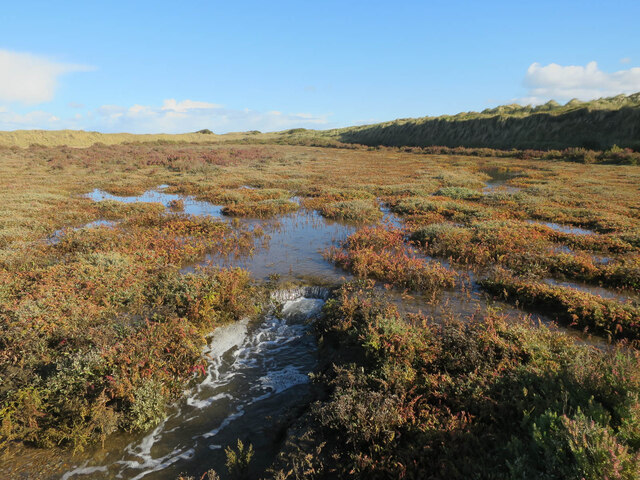
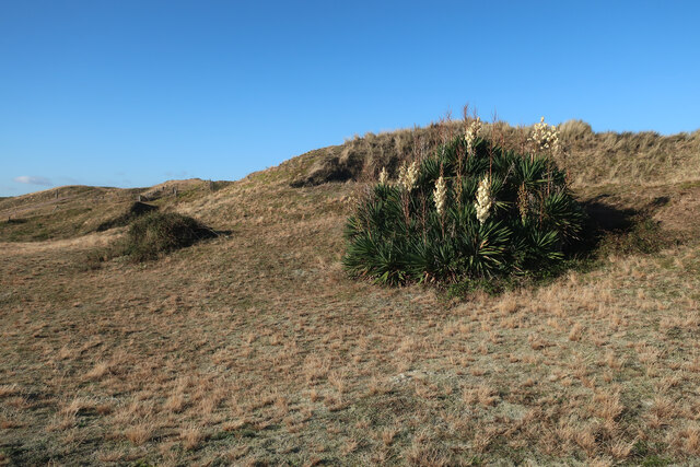
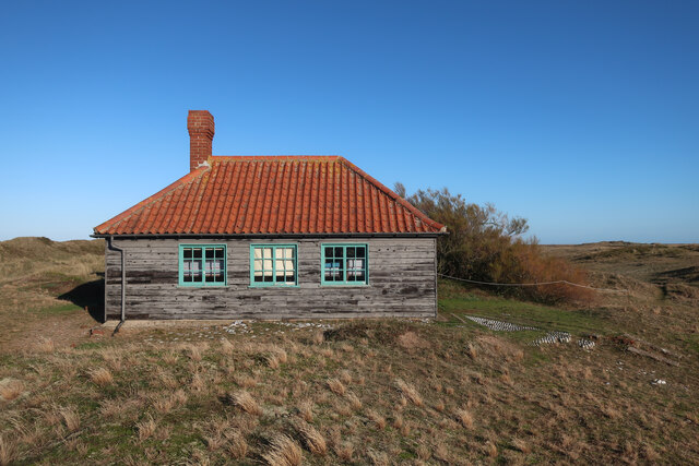
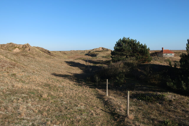
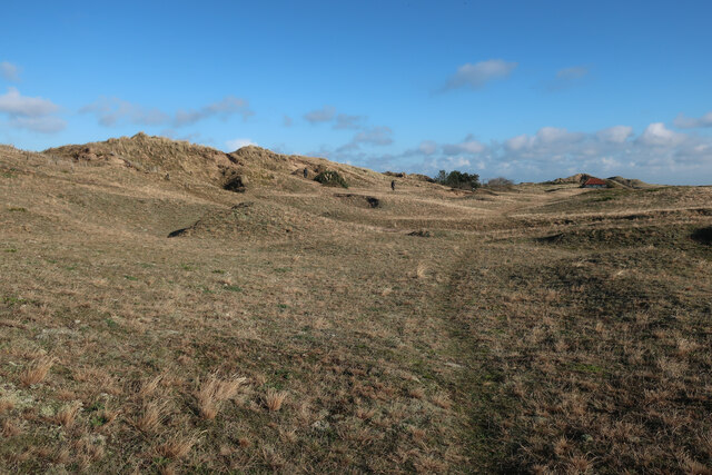
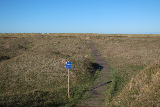
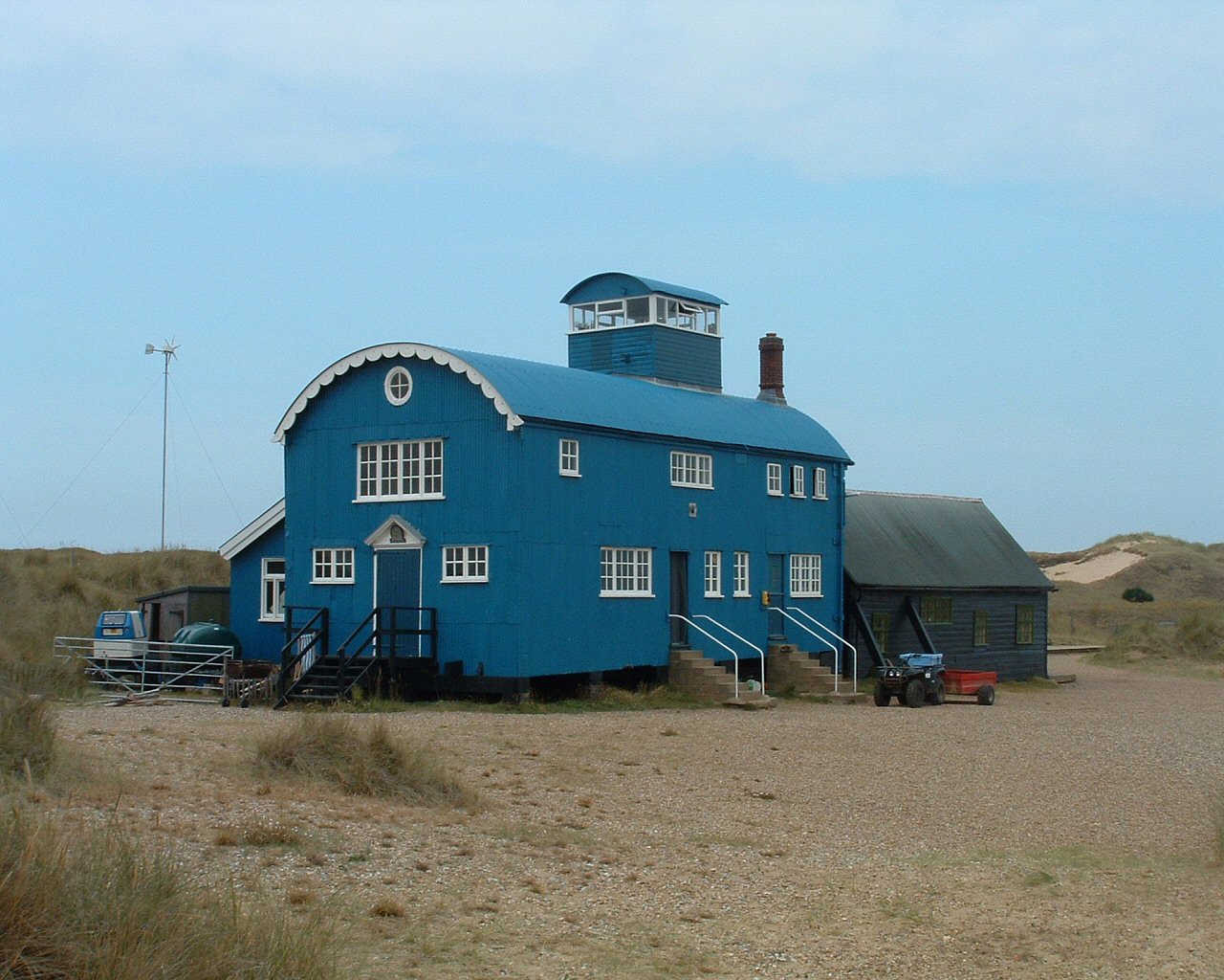
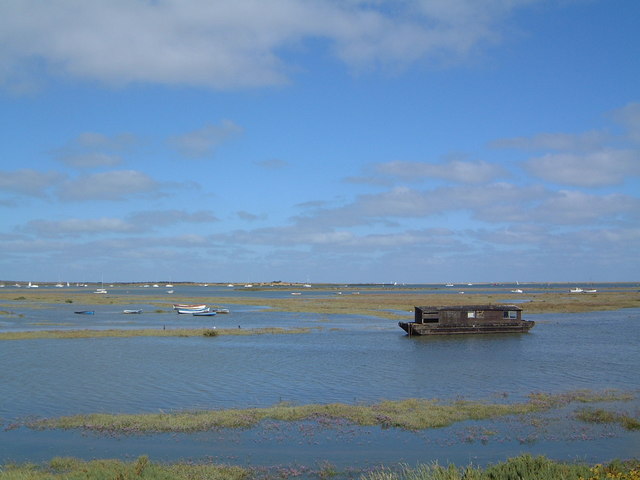
North Side, Norfolk is a coastal marshland located in the eastern region of England. It is a part of the larger Norfolk Coast Area of Outstanding Natural Beauty, known for its diverse ecosystems and stunning landscapes. The area is characterized by its vast expanse of salt marshes and saltings, which are low-lying areas of land that border the coast and are influenced by tidal waters.
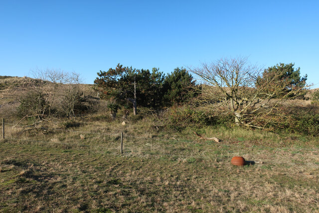
The marshlands of North Side, Norfolk are known for their rich biodiversity and serve as important habitats for a wide range of plant and animal species. The unique combination of saltwater and freshwater creates a dynamic environment that supports a variety of rare and specialized plant communities. Common species found in the area include sea lavender, samphire, and thrift, which thrive in the highly saline conditions.
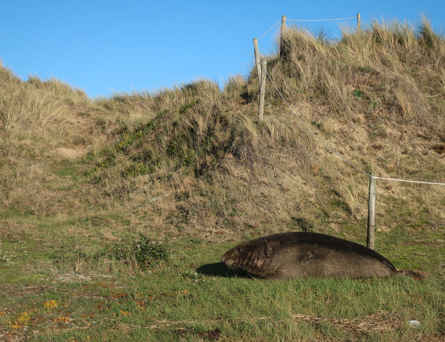
The marshes also provide a haven for numerous bird species, making North Side a popular destination for birdwatchers. Visitors may spot wading birds such as avocets, redshanks, and curlews, as well as migratory birds during the winter months. The marshlands also support a variety of invertebrates, fish, and mammals, adding to the ecological importance of the area.
The North Side, Norfolk marshes play a crucial role in coastal protection, acting as a buffer against erosion and providing natural flood defense. The vegetation and sediment in the marshes help absorb wave energy, reducing the impact of storms and high tides on the surrounding land.
Overall, North Side, Norfolk's coastal marshes are a fascinating and vital part of the region's ecosystem, offering a unique and enchanting landscape for both nature enthusiasts and those interested in the conservation of fragile coastal environments.
If you have any feedback on the listing, please let us know in the comments section below.
North Side Images
Images are sourced within 2km of 52.973243/0.99264836 or Grid Reference TG0145. Thanks to Geograph Open Source API. All images are credited.
North Side is located at Grid Ref: TG0145 (Lat: 52.973243, Lng: 0.99264836)
Administrative County: Norfolk
District: North Norfolk
Police Authority: Norfolk
What 3 Words
///probing.export.mouths. Near Wells-next-the-Sea, Norfolk
Nearby Locations
Related Wikis
Norfolk Coast AONB
The Norfolk Coast Area of Outstanding Natural Beauty is a protected landscape in Norfolk, England. It covers over 450 km2 of coastal and agricultural...
River Glaven
The River Glaven in the eastern English county of Norfolk is 10.5 mi (16.9 km) long and flows through picturesque North Norfolk countryside to the North...
Blakeney Point
Blakeney Point (designated as Blakeney National Nature Reserve) is a national nature reserve situated near to the villages of Blakeney, Morston and Cley...

Morston
Morston is a village and civil parish in the English county of Norfolk. It covers an area of 8.68 km2 (3.35 sq mi) and had a population of 86 in 42 households...

Blakeney Guildhall
Blakeney Guildhall is a building in the coastal village of Blakeney in the north of the county of Norfolk. The property is in the care of English Heritage...
North Norfolk Coast Site of Special Scientific Interest
The North Norfolk Coast Site of Special Scientific Interest (SSSI) is an area of European importance for wildlife in Norfolk, England. It comprises 7,700...

River Stiffkey
The River Stiffkey is a chalk stream running through an area of north Norfolk, England from its source near Swanton Novers to flow out into the North Sea...

Blakeney, Norfolk
Blakeney is a coastal village and civil parish in the English county of Norfolk. Blakeney lies within the Norfolk Coast AONB (Area of Outstanding Natural...
Nearby Amenities
Located within 500m of 52.973243,0.99264836Have you been to North Side?
Leave your review of North Side below (or comments, questions and feedback).