Green Leaf Creek
Sea, Estuary, Creek in Norfolk North Norfolk
England
Green Leaf Creek
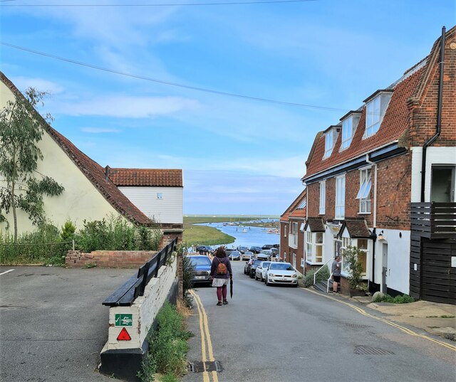
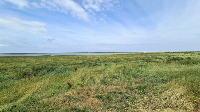
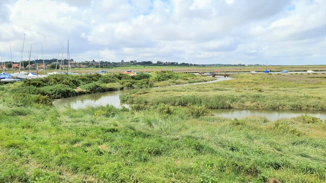
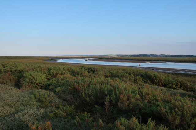
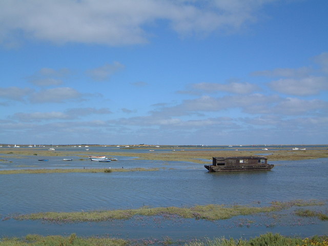
Green Leaf Creek is a picturesque waterway located in Norfolk, England. It is a small creek that flows into the North Sea, passing through the coastal town of Norfolk before reaching its final destination. The creek is formed by the convergence of several smaller streams and tributaries, creating a diverse ecosystem that supports a variety of plant and animal life.
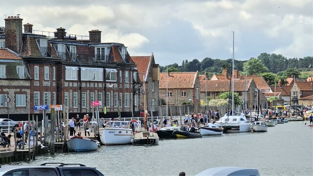
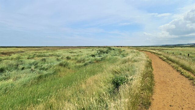
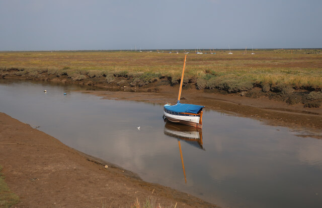
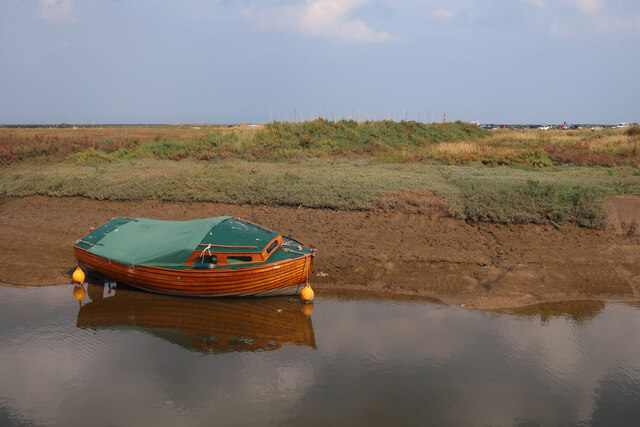
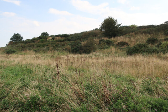
The creek is characterized by its calm and tranquil waters, which make it an ideal spot for boating and fishing enthusiasts. The surrounding landscape is dotted with lush greenery, including willow trees and reeds that line the creek's banks, providing a natural habitat for numerous bird species. Birdwatchers often visit the area to catch a glimpse of these feathered creatures.
Green Leaf Creek also serves as an estuary, where fresh and saltwater meet. This unique blend of waters supports a thriving ecosystem, with an abundance of marine life. The creek is home to various fish species, including sea trout and flounder, making it a popular spot for anglers.
In addition to its natural beauty, Green Leaf Creek has historical significance. It was once a bustling trading route, with cargo ships navigating its waters to transport goods in and out of Norfolk. Today, remnants of this past can still be seen, with some old wharfs and docks standing as a testament to the creek's commercial importance in the region.
Overall, Green Leaf Creek offers a serene and picturesque setting, combining natural beauty with historical significance. It is a haven for nature lovers and a place where visitors can immerse themselves in the tranquility of the Norfolk coast.
If you have any feedback on the listing, please let us know in the comments section below.
Green Leaf Creek Images
Images are sourced within 2km of 52.97143/1.0063914 or Grid Reference TG0145. Thanks to Geograph Open Source API. All images are credited.


Green Leaf Creek is located at Grid Ref: TG0145 (Lat: 52.97143, Lng: 1.0063914)
Administrative County: Norfolk
District: North Norfolk
Police Authority: Norfolk
What 3 Words
///soothing.vowing.clearcut. Near Wells-next-the-Sea, Norfolk
Nearby Locations
Related Wikis
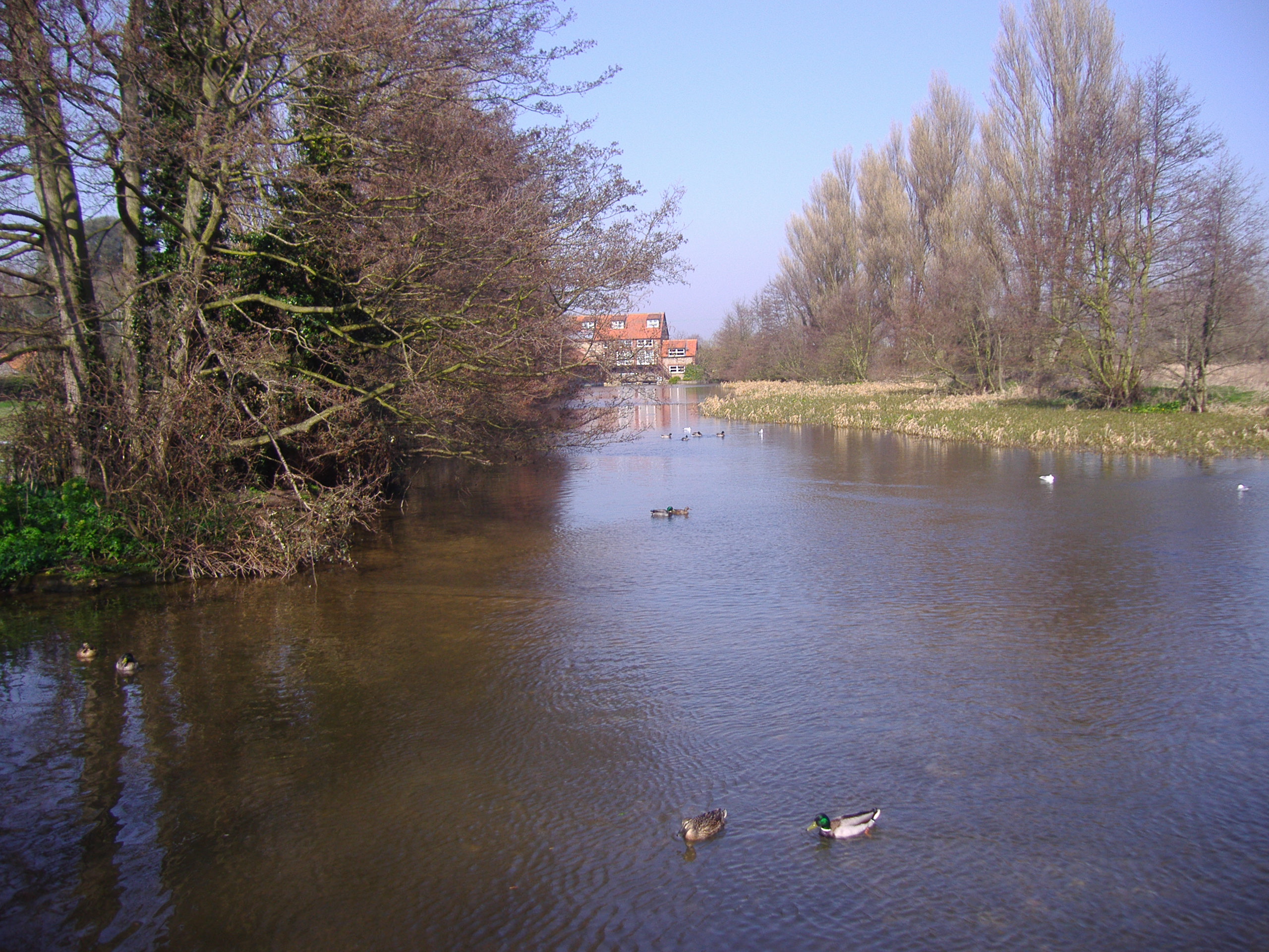
River Glaven
The River Glaven in the eastern English county of Norfolk is 10.5 mi (16.9 km) long and flows through picturesque North Norfolk countryside to the North...
Norfolk Coast AONB
The Norfolk Coast Area of Outstanding Natural Beauty is a protected landscape in Norfolk, England. It covers over 450 km2 of coastal and agricultural...

Blakeney Guildhall
Blakeney Guildhall is a building in the coastal village of Blakeney in the north of the county of Norfolk. The property is in the care of English Heritage...
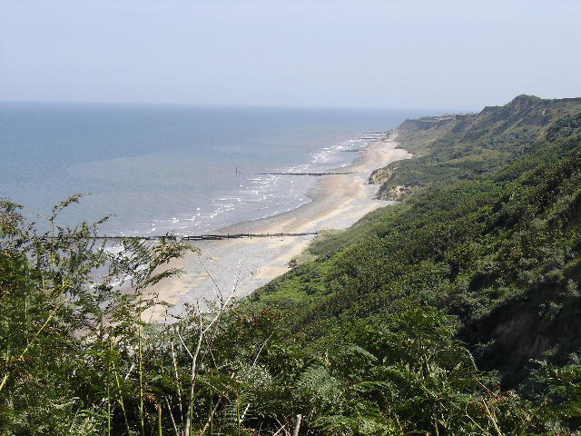
Blakeney Point
Blakeney Point (designated as Blakeney National Nature Reserve) is a national nature reserve situated near to the villages of Blakeney, Morston and Cley...

Blakeney, Norfolk
Blakeney is a coastal village and civil parish in the English county of Norfolk. Blakeney lies within the Norfolk Coast AONB (Area of Outstanding Natural...

Morston
Morston is a village and civil parish in the English county of Norfolk. It covers an area of 8.68 km2 (3.35 sq mi) and had a population of 86 in 42 households...

Blakeney Windmill
Blakeney Tower Windmill, built in 1769, is located on Friar Farm just to the east of the village of Blakeney in the English county of Norfolk. The mill...
North Norfolk Coast Site of Special Scientific Interest
The North Norfolk Coast Site of Special Scientific Interest (SSSI) is an area of European importance for wildlife in Norfolk, England. It comprises 7,700...
Related Videos


Happy 😊 Sunday from Blakeney on North Norfolk coast #blakeney #northnorfolk
We love to walk along the North Norfolk coastal path in Blakeney on a Sunday morning and listen to the sounds of the seabirds ...

Nearby Amenities
Located within 500m of 52.97143,1.0063914Have you been to Green Leaf Creek?
Leave your review of Green Leaf Creek below (or comments, questions and feedback).