Ramsey Marsh

Coastal Marsh, Saltings in Essex Maldon

England

Ramsey Marsh

Channel near East Point, Osea Island An interesting area of shingly saltmarsh at the eastern end of the island.
Channel near East Point, Osea Island Credit: Trevor Harris

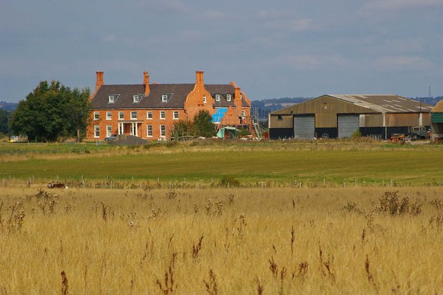
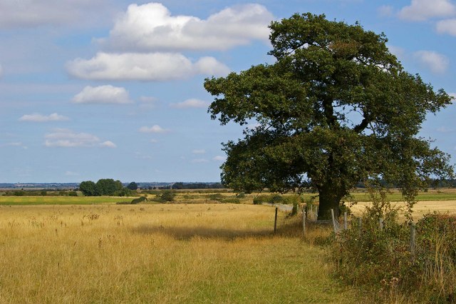
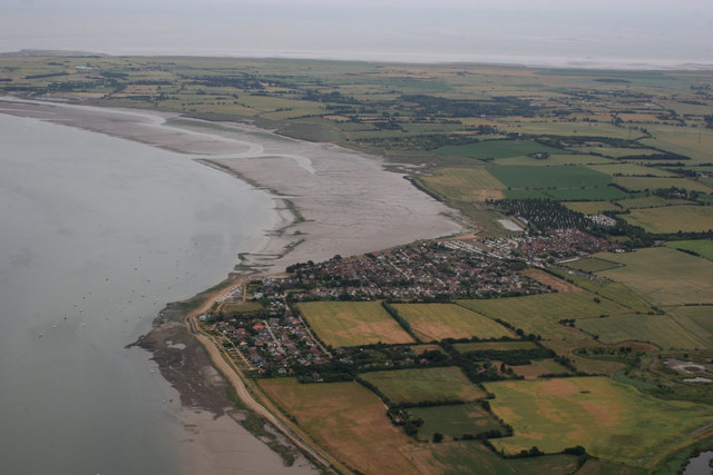
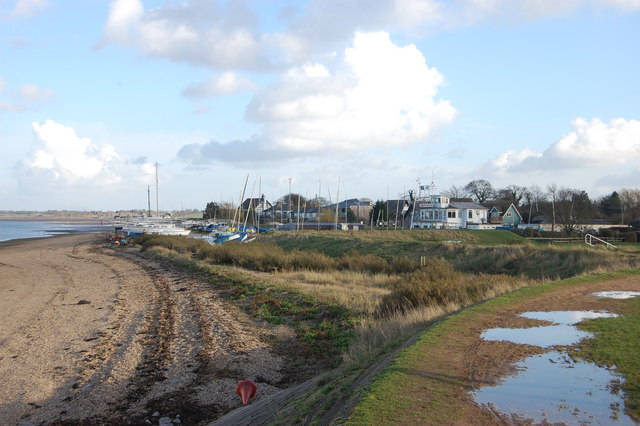
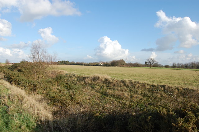
Ramsey Marsh is a coastal marshland located in Essex, England. Situated near the village of Ramsey, it stretches along the eastern coast of England, covering an area of approximately 1,500 hectares. The marshland is a part of the larger Essex estuaries and marshes, known for their diverse ecosystems and abundant wildlife.

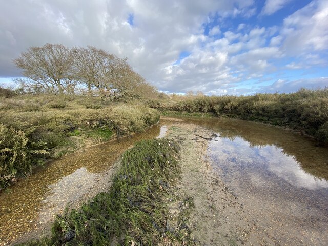
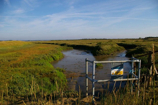
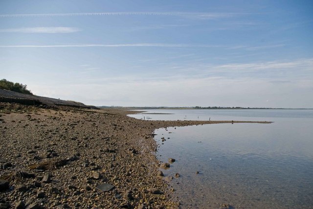
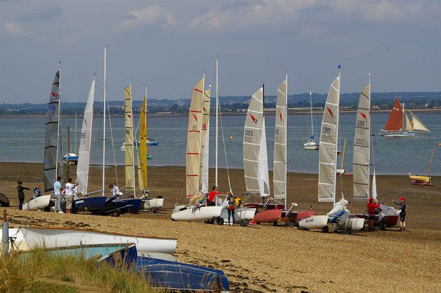
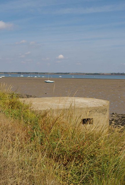
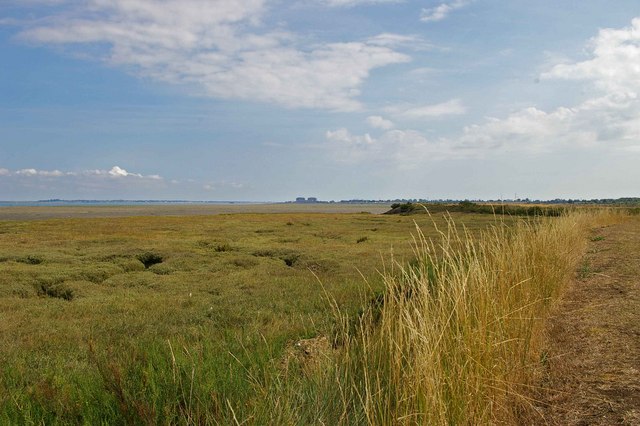
Ramsey Marsh is characterized by its extensive salt marshes and saltings, which are found in the intertidal zone between the land and sea. These marshes are composed of salt-tolerant plants, such as samphire, sea lavender, and cordgrass, which thrive in the brackish water and muddy environments. The marshes provide a vital habitat for a variety of bird species, including waders like redshanks, avocets, and dunlins, as well as migratory birds like godwits and curlews.

The marshland also serves as an important feeding and breeding ground for several marine and estuarine species. The intertidal mudflats, which are exposed during low tide, attract a wide range of invertebrates, including worms, crabs, and mollusks, which in turn support a diverse array of fish and bird life.

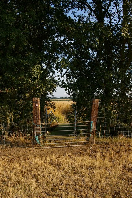
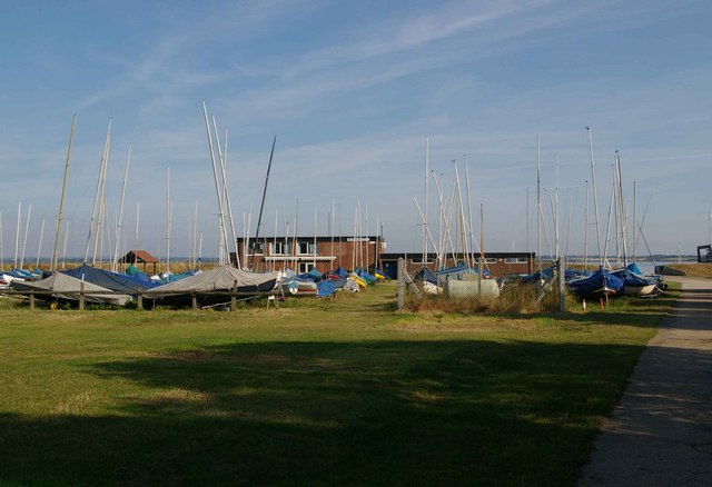
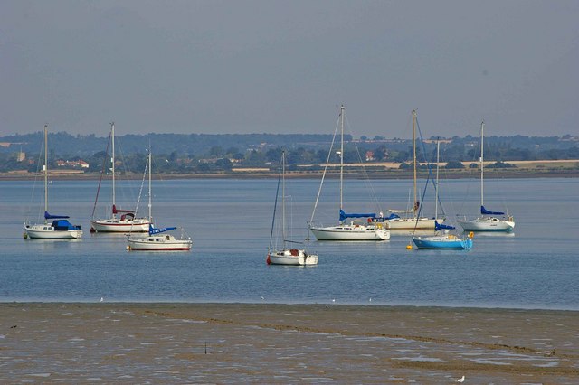
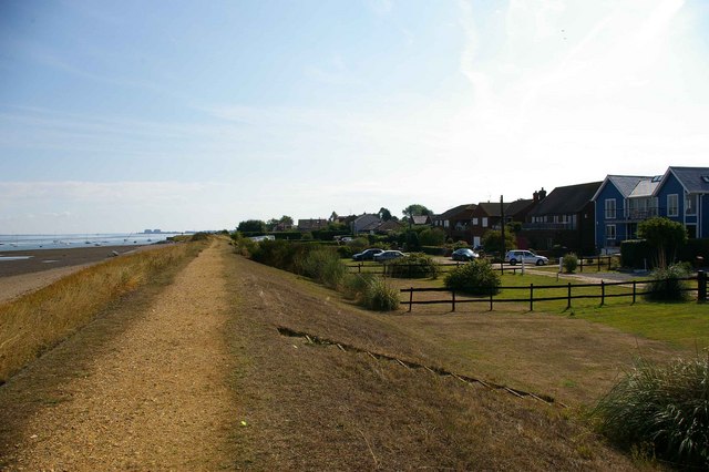
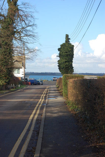
Ramsey Marsh is not only significant for its ecological value but also for its cultural and recreational importance. The marshland offers scenic landscapes and picturesque views of the coastline, attracting visitors who enjoy birdwatching, walking, and photography. Several walking trails and nature reserves have been established to allow access to the marshes while preserving their fragile ecosystems.

In summary, Ramsey Marsh is a coastal marshland in Essex, renowned for its diverse salt marshes, abundant birdlife, and scenic beauty. It provides a crucial habitat for numerous species and offers recreational opportunities for visitors to appreciate its natural wonders.

If you have any feedback on the listing, please let us know in the comments section below.

Ramsey Marsh Images

Images are sourced within 2km of 51.712705/0.80936441 or Grid Reference TL9405. Thanks to Geograph Open Source API. All images are credited.

Channel near East Point, Osea Island An interesting area of shingly saltmarsh at the eastern end of the island.
Channel near East Point, Osea Island
An interesting area of shingly saltmarsh at the eastern end of the island.
Mott's Farm, St. Lawrence, Essex
'The Stone Inn' at Ramsey Island, Essex In the distance, beyond the red car, is the River Blackwater and the area known as St. Lawrence Bay.
'The Stone Inn' at Ramsey Island, Essex
In the distance, beyond the red car, is the River Blackwater and the area known as St. Lawrence Bay.
Steeple Footbridge. This Footbridge behind the gate is on a footpath that runs from the village of Steeple to the sea wall on the River Blackwater
Steeple Footbridge.
This Footbridge behind the gate is on a footpath that runs from the village of Steeple to the sea wall on the River Blackwater
Shoat Farm Sluice This sluice north of Steeple village looks over Steeple Creek
Shoat Farm Sluice
This sluice north of Steeple village looks over Steeple Creek
Marconi Sailing Club This is the clubhouse at the Marconi Sailing Club on the River Blackwater. Quite how you become a member now Marconi is no more you will have to determine from their website <span class="nowrap"><a title="http://www.marconi-sc.org.uk/" rel="nofollow ugc noopener" href="http://www.marconi-sc.org.uk/">Link</a><img style="margin-left:2px;" alt="External link" title="External link - shift click to open in new window" src="https://s1.geograph.org.uk/img/external.png" width="10" height="10"/></span>
Marconi Sailing Club
This is the clubhouse at the Marconi Sailing Club on the River Blackwater. Quite how you become a member now Marconi is no more you will have to determine from their website LinkExternal link
Blackwater Beach This is the pebble beach on the Blackwater to the west of Stansgate Abbey Farm
Blackwater Beach
This is the pebble beach on the Blackwater to the west of Stansgate Abbey Farm
Blackwater Mooring The river Blackwater has numerous mooring sites such as this one around the mud flats.
Blackwater Mooring
The river Blackwater has numerous mooring sites such as this one around the mud flats.
Kaleidoscope of Cats Catamarans waiting for the tide at Stone Sailing Club
Kaleidoscope of Cats
Catamarans waiting for the tide at Stone Sailing Club
Type 22 and St Lawrence Bay This is St Lawrence bay looking back along the Blackwater towards Stone. For an explanation of type 22 see <span class="nowrap"><a title="http://www.pillboxesuk.co.uk/" rel="nofollow ugc noopener" href="http://www.pillboxesuk.co.uk/">Link</a><img style="margin-left:2px;" alt="External link" title="External link - shift click to open in new window" src="https://s1.geograph.org.uk/img/external.png" width="10" height="10"/></span>
Type 22 and St Lawrence Bay
This is St Lawrence bay looking back along the Blackwater towards Stone. For an explanation of type 22 see LinkExternal link
St Lawrence Bay Saltmarsh This is an example of coastal squeeze where saltmarsh is squeezed against an artificial land boundary. The unsightly blocks on the horizon are <a href="https://www.geograph.org.uk/photo/35708">TM0008 : Moody Magnox (Bradwell Nuclear Power Station)</a>
St Lawrence Bay Saltmarsh
This is an example of coastal squeeze where saltmarsh is squeezed against an artificial land boundary. The unsightly blocks on the horizon are TM0008 : Moody Magnox (Bradwell Nuclear Power Station)
Ramsea Island Homes The sea wall and some rather desirable homes on Ramsea Island  on the River Blackwater.
Ramsea Island Homes
The sea wall and some rather desirable homes on Ramsea Island on the River Blackwater.
Steeplewick Farm This picture was taken from the footpath that runs from The St Peters Way on Bradwell Rd to Stansgate Abbey Farm
Steeplewick Farm
This picture was taken from the footpath that runs from The St Peters Way on Bradwell Rd to Stansgate Abbey Farm
Footpath to Stansgate Abbey Farm The footpath along the fence runs from The St Peters Way on Bradwell Rd to Stansgate Abbey Farm
Footpath to Stansgate Abbey Farm
The footpath along the fence runs from The St Peters Way on Bradwell Rd to Stansgate Abbey Farm
Aerial photo of St Lawrence This aerial photo covers quite a few grid squares on the Dengie Peninsula, although the prominent focus is of St Lawrence.
Aerial photo of St Lawrence
This aerial photo covers quite a few grid squares on the Dengie Peninsula, although the prominent focus is of St Lawrence.
End of the road Approaching the Stone slipway
End of the road
Approaching the Stone slipway
Stone Sailing Club Yachts laid up for winter
Stone Sailing Club
Yachts laid up for winter
House on Ramsey Marsh The last house west on the road from the Stone
House on Ramsey Marsh
The last house west on the road from the Stone
Show me another place!

Ramsey Marsh is located at Grid Ref: TL9405 (Lat: 51.712705, Lng: 0.80936441)

Administrative County: Essex

District: Maldon

Police Authority: Essex

What 3 Words

///pets.snowy.starfish. Near Mayland, Essex

Nearby Locations

Ramsey Marsh

Related Wikis

St Lawrence Bay

St Lawrence Bay is a village in Essex, UK. It is in an area known as the Dengie Hundred, next to the River Blackwater. The village is now known as St Lawrence...

Steeple, Essex

Steeple is a village on the Dengie Peninsula in Essex, England. It is situated just east of Maylandsea and Mayland, on the southern side of the River Blackwater...

Osea Island

Osea Island (Old English: Ōsgȳþes īeg, "Osyth's island"), formerly also Osey, is an inhabited island in the estuary of the River Blackwater, Essex, East...

St Lawrence, Essex

St Lawrence is a parish in the Maldon district of Essex in the East of England on the Dengie peninsula. The village of St Lawrence Bay, which takes its...

Have you been to Ramsey Marsh?

Leave your review of Ramsey Marsh below (or comments, questions and feedback).