Barton's Point
Coastal Marsh, Saltings in Kent Swale
England
Barton's Point
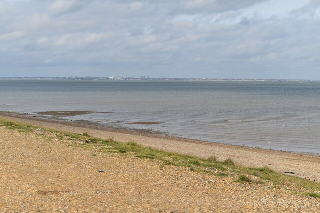
Barton's Point is a picturesque coastal marsh located in Kent, England. Stretching along the coastline, this area is known for its unique geological features and diverse wildlife. The marsh is situated on the banks of the Medway Estuary, making it an important site for migratory birds and other marine species.
The landscape of Barton's Point consists of a combination of mudflats, salt marshes, and sand dunes. These natural formations provide a habitat for a wide variety of plant and animal species, including rare and endangered ones. The salt marshes are particularly significant as they support a range of halophytic plants that are adapted to high salinity levels.
Visitors to Barton's Point can enjoy a leisurely stroll along the coastal paths, taking in the stunning views of the estuary and the surrounding countryside. The area is a haven for birdwatchers, with numerous species of wading birds, ducks, and geese making it their home or stopping over during migration.
The marsh is also a popular spot for outdoor activities such as fishing, birdwatching, and picnicking. There are designated areas for recreational use, ensuring that the delicate ecosystem of Barton's Point remains protected.
In addition to its natural beauty, Barton's Point is also of historical interest. The area has evidence of human occupation dating back to the Neolithic period, and archaeological finds have uncovered ancient artifacts and burial sites.
Overall, Barton's Point is a captivating coastal marsh that offers visitors a chance to connect with nature and explore its rich biodiversity. Its tranquil surroundings and ecological significance make it a must-visit destination for nature enthusiasts and those seeking a peaceful retreat by the sea.
If you have any feedback on the listing, please let us know in the comments section below.
Barton's Point Images
Images are sourced within 2km of 51.440104/0.79242396 or Grid Reference TQ9474. Thanks to Geograph Open Source API. All images are credited.


Barton's Point is located at Grid Ref: TQ9474 (Lat: 51.440104, Lng: 0.79242396)
Administrative County: Kent
District: Swale
Police Authority: Kent
What 3 Words
///stylists.blackouts.runners. Near Sheerness, Kent
Nearby Locations
Related Wikis

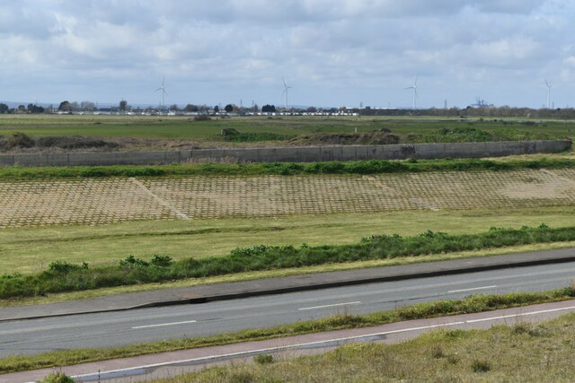
Barton's Point Coastal Park
Barton's Point Coastal Park is on the Isle of Sheppey, in Kent, England. It lies between Minster and Sheerness. Within the park is a former military ditch/canal...

A250 road
The A250 road is a minor British A-road on the Isle of Sheppey in Kent. The route runs from Sheerness to Queenborough via Halfway. == Route == The A250...

Sheerness East railway station
Sheerness East is a disused railway station serving Sheerness on the Isle of Sheppey. It opened in 1901 and closed in 1950. The site of the station is...
Sheppey FM 92.2
Sheppey FM 92.2 is an English community radio station and training centre on the Isle of Sheppey in Kent. == History == The station began as an internet...
Great Mill, Sheerness
Great Mill or Ride's Mill is a Grade II listed smock mill just off the High Street in Sheerness, Kent, England, that was demolished in 1924, leaving the...
Oasis Academy Isle of Sheppey
Oasis Academy Isle of Sheppey is a coeducational secondary school and sixth form with academy status, located over two sites in Minster-on-Sea on the Isle...

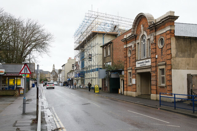
Sheerness
Sheerness () is a port town and civil parish beside the mouth of the River Medway on the north-west corner of the Isle of Sheppey in north Kent, England...
East Minster railway station
East Minster is a disused railway station serving Minster on the Isle of Sheppey. It opened in 1902 and closed in 1950. == References == == External... ==
Nearby Amenities
Located within 500m of 51.440104,0.79242396Have you been to Barton's Point?
Leave your review of Barton's Point below (or comments, questions and feedback).