Ford Marsh
Coastal Marsh, Saltings in Kent
England
Ford Marsh

Ford Marsh, located in Kent, England, is a coastal marshland known for its stunning natural beauty and rich biodiversity. Situated on the southeastern coast of the country, this expansive marshland stretches across an area of approximately 2,500 acres, making it a significant part of the local ecosystem.
The marshland is primarily composed of salt marshes and saltings, characterized by their unique vegetation and brackish water. These habitats provide a thriving environment for a diverse range of plant and animal species. Notable plant species found in Ford Marsh include sea lavender, sea purslane, and cordgrass, which are specially adapted to tolerate the saline conditions.
The marshland is also home to a variety of bird species, making it a popular destination for birdwatching enthusiasts. Visitors can spot a range of wading birds, such as redshanks, avocets, and curlews, as well as migratory birds that visit during the winter months. The area serves as an important breeding ground for many species, contributing to the conservation efforts of these birds.
In addition to its ecological significance, Ford Marsh also plays a crucial role in coastal protection. The marsh acts as a natural barrier, absorbing the impact of waves and storm surges, thus reducing the risk of flooding for nearby communities.
With its picturesque landscapes, diverse wildlife, and vital ecological functions, Ford Marsh is not only a sanctuary for nature lovers but also an important site for scientific research and environmental conservation.
If you have any feedback on the listing, please let us know in the comments section below.
Ford Marsh Images
Images are sourced within 2km of 51.408597/0.56224969 or Grid Reference TQ7870. Thanks to Geograph Open Source API. All images are credited.


Ford Marsh is located at Grid Ref: TQ7870 (Lat: 51.408597, Lng: 0.56224969)
Unitary Authority: Medway
Police Authority: Kent
What 3 Words
///entry.elite.oval. Near Hoo, Kent
Nearby Locations
Related Wikis
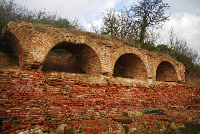
Cockham Wood Fort
Cockham Wood Fort was constructed in 1669 on the north bank of the River Medway in Kent in south-east England. In conjunction with Fort Gillingham it took...

PS John H Amos
John H Amos is a paddlewheel tugboat built in Scotland in 1931. The last paddlewheel tug built for private owners, now owned by the Medway Maritime Trust...
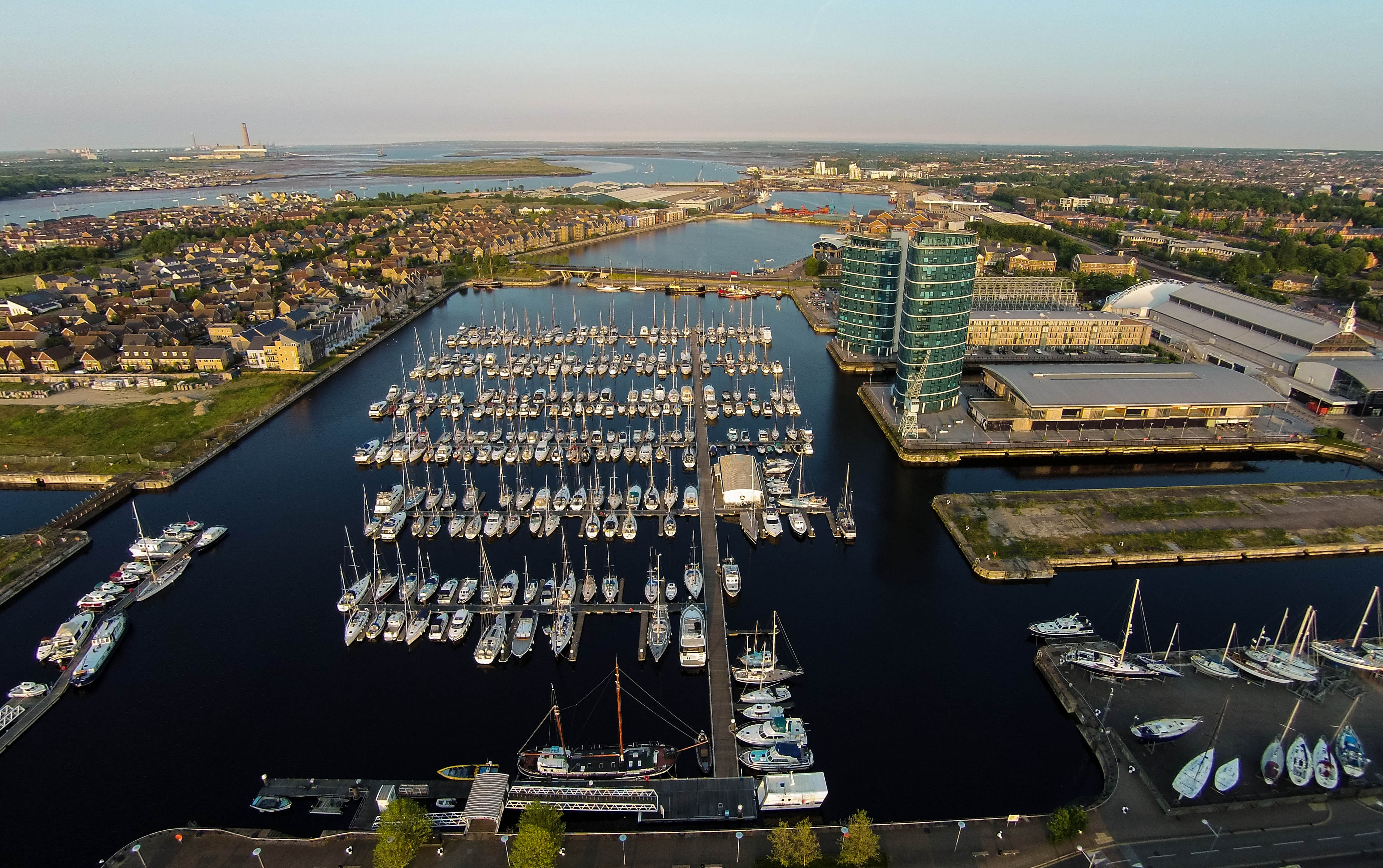
St Mary's Island, Kent
St Mary's Island, is part of the Chatham Maritime development area in Medway, South East England. It is located at the northern end of Chatham, adjacent...
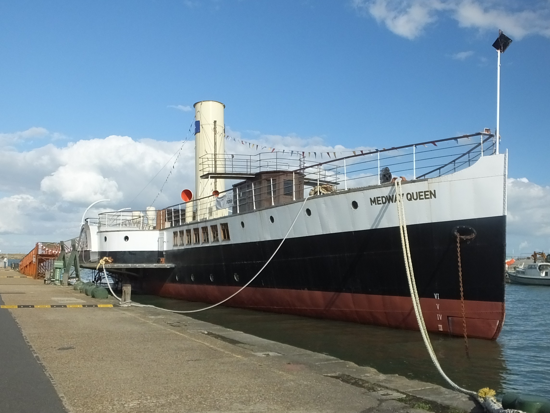
PS Medway Queen
The PS Medway Queen is a paddle driven steamship, the only mobile estuary paddle steamer left in the United Kingdom. She was one of the "little ships of...
Nearby Amenities
Located within 500m of 51.408597,0.56224969Have you been to Ford Marsh?
Leave your review of Ford Marsh below (or comments, questions and feedback).