Egypt Saltings

Coastal Marsh, Saltings in Kent

England

Egypt Saltings

Due South From Canvey Island In this view due south from Canvey Island the Kent bank of the Thames between Egypt Bay to the east & St Mary’s Bay to the west can be seen in the distance. The south bank of the river in the middle of the picture would be about TQ787792. TQ7880 is to the ships port side.
Due South From Canvey Island Credit: Glyn Baker

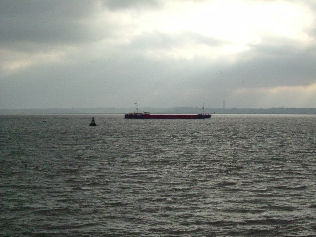
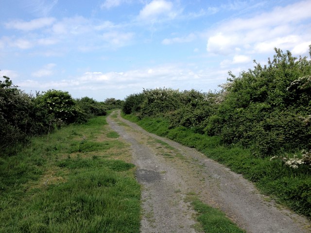
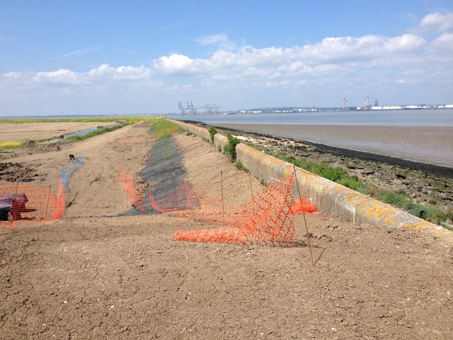
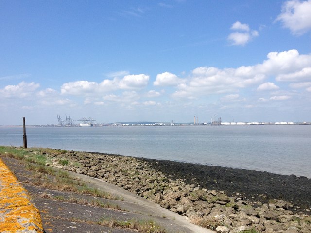
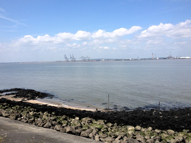
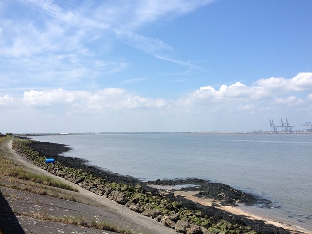
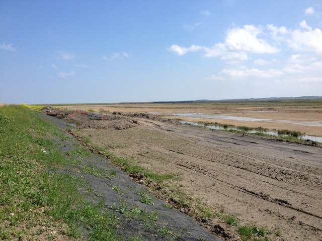
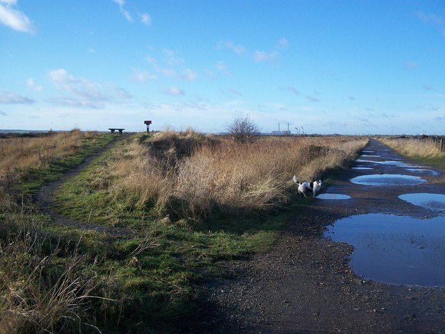
Egypt Saltings is a coastal marsh located in Kent, England. It is situated near the town of Faversham, between the banks of the Swale Estuary and the Isle of Sheppey. The area is known for its unique ecosystem and is designated as a Site of Special Scientific Interest (SSSI).

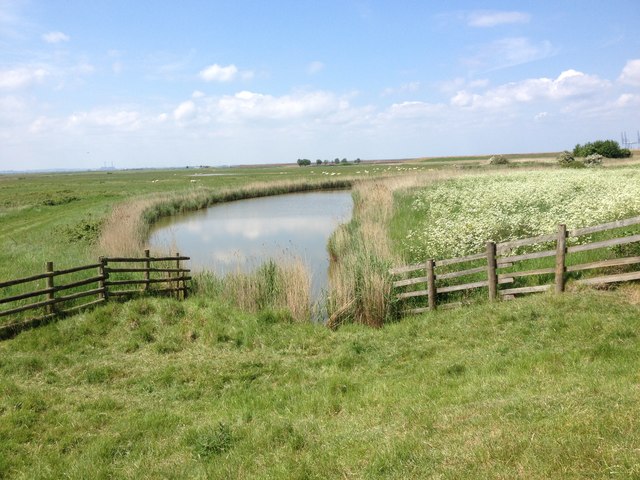
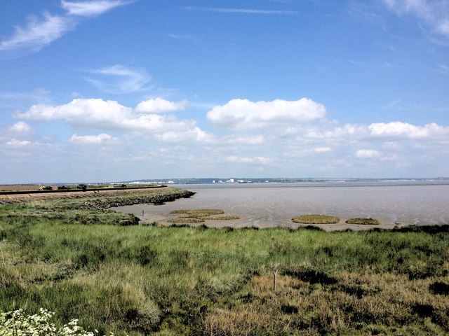
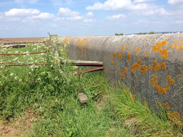
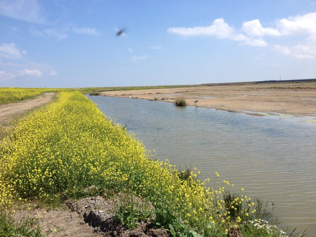
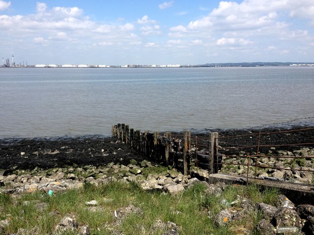
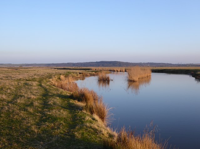
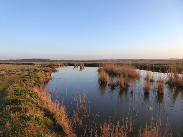
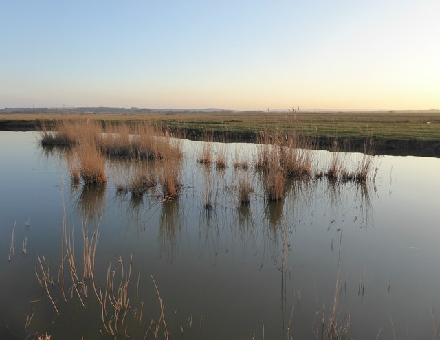
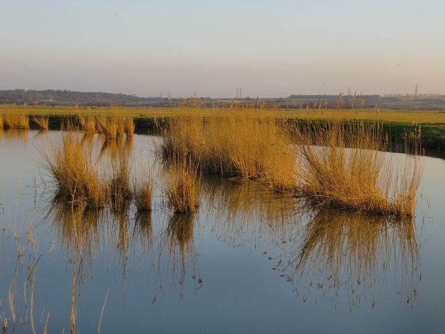
The saltings, also known as salt marshes, are characterized by their low-lying and muddy terrain, which is regularly flooded by tidal waters. This creates a brackish environment, where fresh and saltwater mix, resulting in a diverse range of plant and animal species.

The vegetation in Egypt Saltings is adapted to the harsh conditions of the marshland. Common plants found in the area include saltmarsh grasses, sea purslane, and sea aster. These plants provide important habitats and food sources for various bird species, such as waders and wildfowl.

The marshes also support a variety of marine life, including crabs, shrimps, and small fish that thrive in the shallow, nutrient-rich waters. The saltings are an important breeding ground for several bird species, including avocets, redshanks, and little egrets.

Egypt Saltings is not only ecologically significant but also historically important. It is believed to have been a landing site for the Romans during their invasion of Britain in the 1st century AD. Archaeological discoveries in the area have provided valuable insights into Roman occupation and trade.

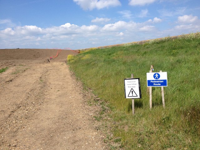
As a protected area, Egypt Saltings offers opportunities for nature enthusiasts, birdwatchers, and historians to explore and appreciate the unique coastal ecosystem and its rich cultural heritage.

If you have any feedback on the listing, please let us know in the comments section below.

Egypt Saltings Images

Images are sourced within 2km of 51.481968/0.55600513 or Grid Reference TQ7778. Thanks to Geograph Open Source API. All images are credited.

Due South From Canvey Island In this view due south from Canvey Island the Kent bank of the Thames between Egypt Bay to the east & St Mary’s Bay to the west can be seen in the distance. The south bank of the river in the middle of the picture would be about TQ787792. TQ7880 is to the ships port side.
Due South From Canvey Island
In this view due south from Canvey Island the Kent bank of the Thames between Egypt Bay to the east & St Mary’s Bay to the west can be seen in the distance. The south bank of the river in the middle of the picture would be about TQ787792. TQ7880 is to the ships port side.
Manor Way, High Halstow
Halstow Marshes
Halstow Marshes
Egypt Bay
Egypt Bay
Stile on the footpath, near Halstow Marshes
Footpath Diversion near Halstow Marshes
Sea Wall, near Halstow Marshes
River Thames
River Thames
Drainage Channel, Halstow Marshes
River Thames
River Thames
River Thames
River Thames
Halstow Marshes
Halstow Marshes
River Thames
River Thames
The Hope Fleet (1) It would be hard to find a more remote spot anywhere in south-east England.

The fleets of the North Kent marshes were originally tidal creeks, draining into the Thames in days before the building of the seawall.  But recent developments show that such changes are not irreversible.  In the last couple of years the coast north of the Hope Fleet has undergone drastic change, with the implementation of a 'managed re-alignment' scheme.  The old seawall was breached following the construction of new defences well to landward.  Much of the old Salt Fleet now finds itself on the seaward side of the new seawall.

The view in the picture is roughly south-east, with Northwood Hill ('the Nor'ard', locally) on the horizon.


As a personal note, I was particularly pleased with this image because it reminds me of a photo I took nearby many years ago:  <a href="https://www.geograph.org.uk/photo/2124635">TQ7778 : Halstow Marshes: 'The Shades' (otherwise known as Shade House), derelict, circa 1975</a>

For my observations on difficulty of access, see: <a href="https://www.geograph.org.uk/photo/5313994">TQ7678 : The Hope Fleet (2)</a>
The Hope Fleet (1)
It would be hard to find a more remote spot anywhere in south-east England. The fleets of the North Kent marshes were originally tidal creeks, draining into the Thames in days before the building of the seawall. But recent developments show that such changes are not irreversible. In the last couple of years the coast north of the Hope Fleet has undergone drastic change, with the implementation of a 'managed re-alignment' scheme. The old seawall was breached following the construction of new defences well to landward. Much of the old Salt Fleet now finds itself on the seaward side of the new seawall. The view in the picture is roughly south-east, with Northwood Hill ('the Nor'ard', locally) on the horizon. As a personal note, I was particularly pleased with this image because it reminds me of a photo I took nearby many years ago: TQ7778 : Halstow Marshes: 'The Shades' (otherwise known as Shade House), derelict, circa 1975 For my observations on difficulty of access, see: TQ7678 : The Hope Fleet (2)
The Hope Fleet (2) I'd been out to this remote spot a number of times in the past, but the last couple of times I've tried (for Geograph purposes) I've found one or other of the ditches uncrossable.  The other hazard has to do with finding all the crossing-points on the way back, after dark . . .
The Hope Fleet (2)
I'd been out to this remote spot a number of times in the past, but the last couple of times I've tried (for Geograph purposes) I've found one or other of the ditches uncrossable. The other hazard has to do with finding all the crossing-points on the way back, after dark . . .
Reed clumps, Hope Fleet
Reed clumps, Hope Fleet (2)
Show me another place!

Egypt Saltings is located at Grid Ref: TQ7778 (Lat: 51.481968, Lng: 0.55600513)

Unitary Authority: Medway

Police Authority: Kent

What 3 Words

///yoga.splashes.slower. Near Cooling, Kent

Related Wikis

South Thames Estuary and Marshes

South Thames Estuary and Marshes is a 5,289-hectare (13,070-acre) biological Site of Special Scientific Interest which stretches between Gravesend and...

Thames Estuary

The Thames Estuary is where the River Thames meets the waters of the North Sea, in the south-east of Great Britain. == Limits == An estuary can be defined...

High Halstow NNR

High Halstow National Nature Reserve is on the Hoo Peninsula north of Chatham. It is also part of the Northwood Hill Royal Society for the Protection of...

Northward Hill

Northward Hill is a 52.5-hectare (130-acre) biological Site of Special Scientific Interest Kent. It is a Nature Conservation Review site, Grade 2, and...

Nearby Amenities

Located within 500m of 51.481968,0.55600513
Egypt Bay
Natural: bay
Source: npe
Lat/Long: 51.4846544/0.556644
Barrier: stile
Foot: yes
Lat/Long: 51.4817129/0.5595093
Barrier: stile
Foot: yes
Lat/Long: 51.4803543/0.5545873
The data included in this document is from www.openstreetmap.org. The data is made available under ODbL.

Have you been to Egypt Saltings?

Leave your review of Egypt Saltings below (or comments, questions and feedback).