Algarkirk Marsh

Coastal Marsh, Saltings in Lincolnshire Boston

England

Algarkirk Marsh

One misty moisty morning When cloudy was the weather etc.  Surfleet Marsh Farmhouse appears out of the gloom.
One misty moisty morning Credit: Ian Paterson

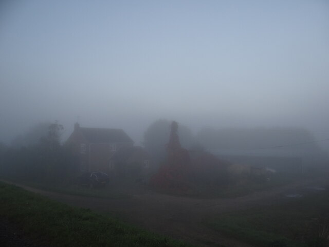
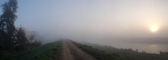
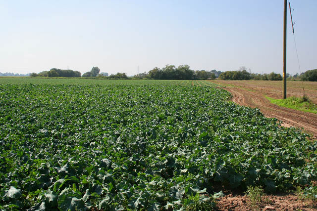
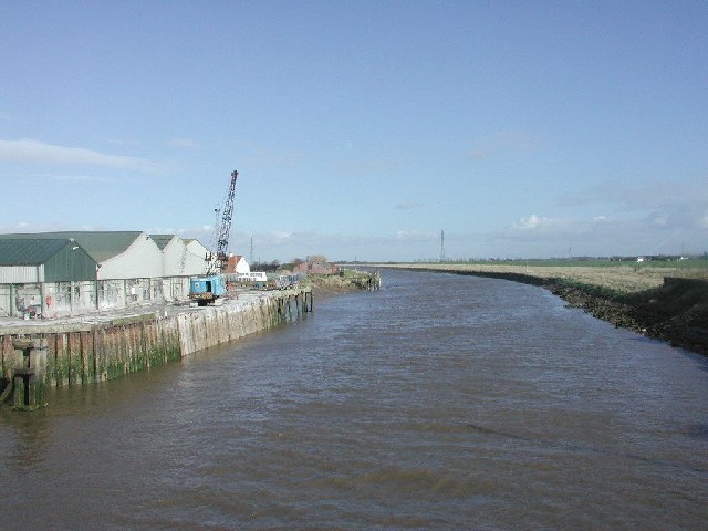
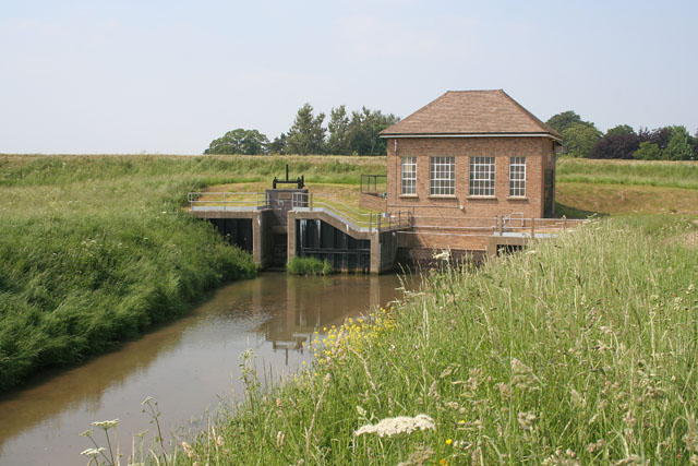
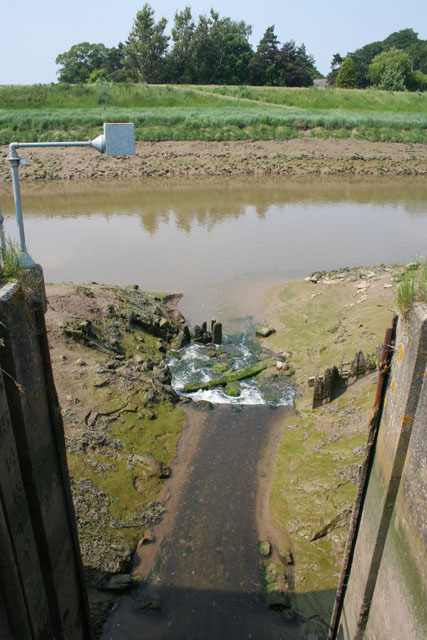
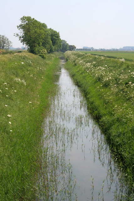
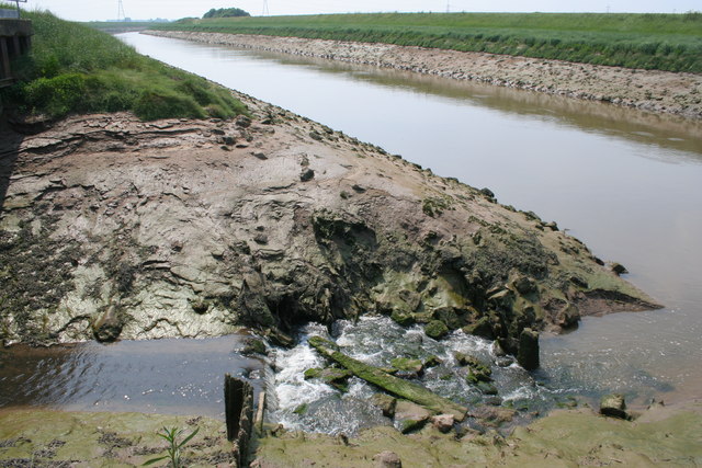
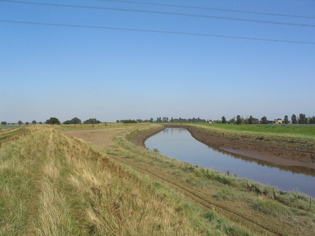
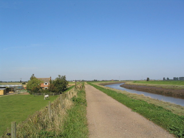
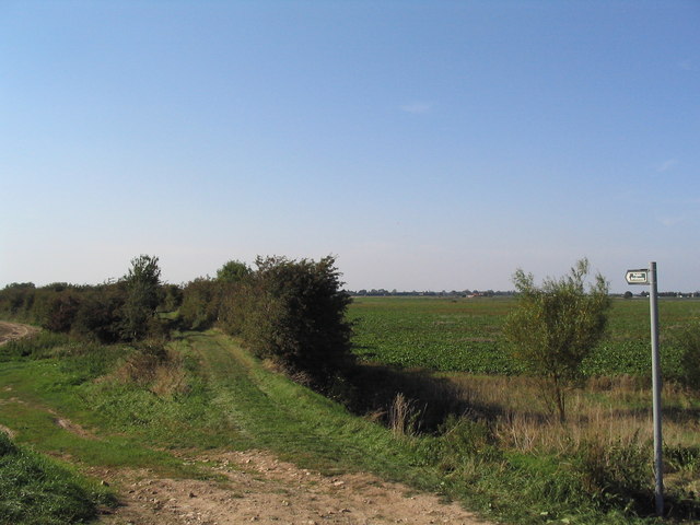
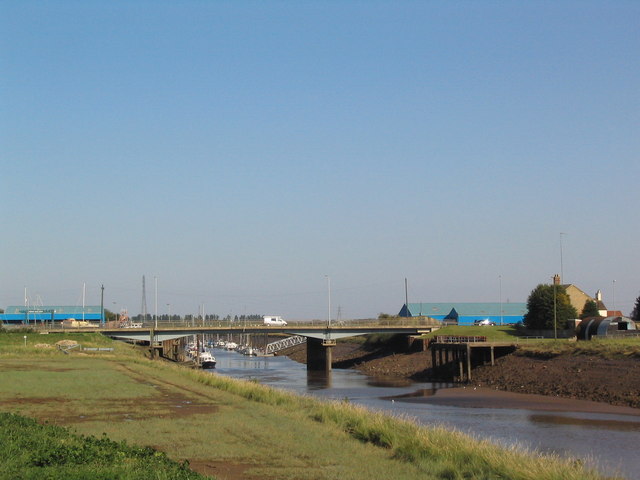
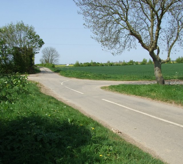
Algarkirk Marsh is a coastal marsh and saltings located in Lincolnshire, England. It is situated on the eastern coast of the country and covers an area of approximately 1,000 acres. The marsh is characterized by its flat, low-lying landscape, consisting of salt marshes, mudflats, and tidal creeks.

The marsh is an important ecological site, providing habitat for a diverse range of plant and animal species. It is particularly renowned for its birdlife, attracting a multitude of migratory and resident bird species throughout the year. Common sightings include waders such as avocets, redshanks, and dunlins, as well as a variety of waterfowl, including teal, pintail, and brent geese. The marsh also supports breeding populations of rare birds, such as the black-tailed godwit.

The vegetation of Algarkirk Marsh is predominantly salt-tolerant, with samphire and sea lavender being common species found in the salt marshes. The mudflats are covered in rich mud, providing feeding grounds for various invertebrates and small fish.

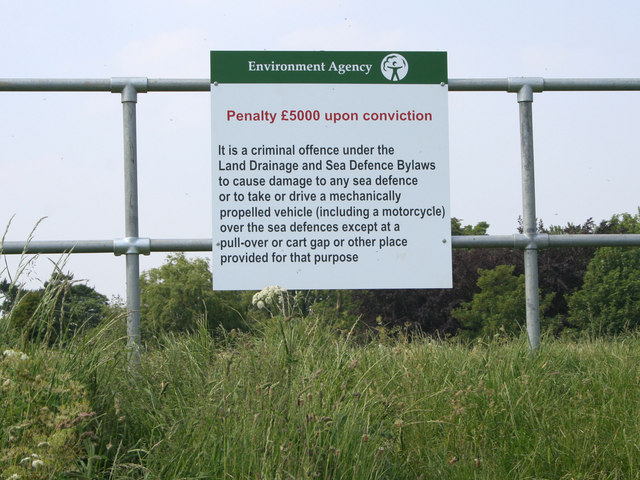
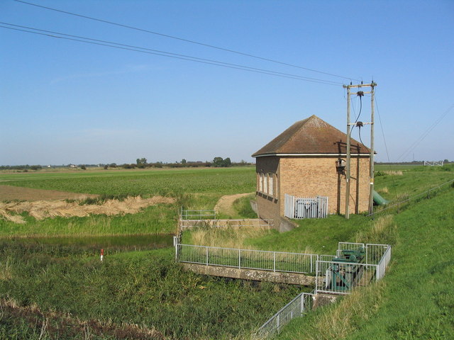
The marsh is managed by local conservation organizations, who work to protect its unique ecosystem and maintain its biodiversity. Access to the marsh is limited, with designated footpaths and observation points allowing visitors to appreciate the natural beauty of the area without disturbing the wildlife.

Algarkirk Marsh is an important site for both wildlife enthusiasts and researchers alike, offering a valuable insight into the coastal ecology of Lincolnshire. Its unique habitat and diverse range of species make it a significant area for conservation and environmental preservation.

If you have any feedback on the listing, please let us know in the comments section below.

Algarkirk Marsh Images

Images are sourced within 2km of 52.86693/-0.071177771 or Grid Reference TF2931. Thanks to Geograph Open Source API. All images are credited.

One misty moisty morning When cloudy was the weather etc.  Surfleet Marsh Farmhouse appears out of the gloom.
One misty moisty morning
When cloudy was the weather etc. Surfleet Marsh Farmhouse appears out of the gloom.
Morning panorama A glorious autumn day is in store once the sun disperses the mist.
Morning panorama
A glorious autumn day is in store once the sun disperses the mist.
Farming on the Lincolnshire Fens Brassica growing seems to be a favourite occupation round here. The River Wellend is just beyond the trees on the distant horizon in <a href="https://www.geograph.org.uk/gridref/TF2829">TF2829</a>
Farming on the Lincolnshire Fens
Brassica growing seems to be a favourite occupation round here. The River Wellend is just beyond the trees on the distant horizon in TF2829
Port of Fosdyke This small port on the River Welland is no longer active.
Port of Fosdyke
This small port on the River Welland is no longer active.
Lord's Drain Pumping Station The sluice bears the date 1957 and the pumping station, 1962. At high tide the river Welland, beyond the flood bank, is about level with the top of the sluice wall. The sluice and pumps operate automatically, controlled by a water level sensor on the drain outfall into the river. See <a href="https://www.geograph.org.uk/photo/183927">TF2930 : Lord's Drain outfall</a>
Lord's Drain Pumping Station
The sluice bears the date 1957 and the pumping station, 1962. At high tide the river Welland, beyond the flood bank, is about level with the top of the sluice wall. The sluice and pumps operate automatically, controlled by a water level sensor on the drain outfall into the river. See TF2930 : Lord's Drain outfall
Lord's Drain outfall High water level in the River Welland is marked by the grass line on the opposite bank. Note the water level sensor on the metal arm.
Lord's Drain outfall
High water level in the River Welland is marked by the grass line on the opposite bank. Note the water level sensor on the metal arm.
Wragg Marsh near Spalding These large sheds are for packing and storing the crops from the large Wragg Marsh Farm. Marsh Road comes to an end in this square.
Wragg Marsh near Spalding
These large sheds are for packing and storing the crops from the large Wragg Marsh Farm. Marsh Road comes to an end in this square.
Lord's Drain, Wragg Marsh Part of the complex Fenland drainage system.
Lord's Drain, Wragg Marsh
Part of the complex Fenland drainage system.
On the flood bank at Wragg Marsh Environment Agency sign at the access point to the public footpath along the bank.
On the flood bank at Wragg Marsh
Environment Agency sign at the access point to the public footpath along the bank.
Round building, Wragg Marsh House A mystery building. Could it have been a dovecote, or maybe a windmill?

After just under 7 years since I took my photograph and someone has discovered what this is - a pigeoncote! Thanks Richard for letting me know. See his picture <a href="https://www.geograph.org.uk/photo/3333783">TF2930 : Pigeoncote near Wragg Marsh Farm</a>
Round building, Wragg Marsh House
A mystery building. Could it have been a dovecote, or maybe a windmill? After just under 7 years since I took my photograph and someone has discovered what this is - a pigeoncote! Thanks Richard for letting me know. See his picture TF2930 : Pigeoncote near Wragg Marsh Farm
River Welland at low tide This clearly shows the high water mark. Looking upstream from Lord's Drain outfall with the South Bank to the left and the Surfleet Bank to the right.
River Welland at low tide
This clearly shows the high water mark. Looking upstream from Lord's Drain outfall with the South Bank to the left and the Surfleet Bank to the right.
River Welland, view north-east (seaward) A tidal river. A cycle route, and the Macmillan Way, runs along the embankment  towards Boston
River Welland, view north-east (seaward)
A tidal river. A cycle route, and the Macmillan Way, runs along the embankment towards Boston
Surfleet Marsh Farm, River Welland Note how much lower farm is compared with high-water level on the tidal Welland.
Surfleet Marsh Farm, River Welland
Note how much lower farm is compared with high-water level on the tidal Welland.
Risegate outfall, pumping station Water from the Risegate Eau drainage ditch is pumped up to the higher level River Welland (right of photo)
Risegate outfall, pumping station
Water from the Risegate Eau drainage ditch is pumped up to the higher level River Welland (right of photo)
Old 'Sea Bank' near Fosdyke Bridge This low bank, edged by shrubs, forms part of the earlier, medieval defences against fen-land flooding. At this point it abuts the modern embankment of the River Welland
Old 'Sea Bank' near Fosdyke Bridge
This low bank, edged by shrubs, forms part of the earlier, medieval defences against fen-land flooding. At this point it abuts the modern embankment of the River Welland
Fosdyke Bridge The port of Fosdyke Bridge is on the far side of the bridge. The River Welland is at low tide
Fosdyke Bridge
The port of Fosdyke Bridge is on the far side of the bridge. The River Welland is at low tide
Old sea bank Junction of Marsh Road and Marsh Lane, Sutterton Dowdyke. Marsh Lane, to the bottom right of the photograph, follows the elevated "Old Sea Bank" as it meanders across the fenland.
Old sea bank
Junction of Marsh Road and Marsh Lane, Sutterton Dowdyke. Marsh Lane, to the bottom right of the photograph, follows the elevated "Old Sea Bank" as it meanders across the fenland.
Georgian Farmhouse Period Farmhouse where Smeetons Lane joins Marsh Lane
Georgian Farmhouse
Period Farmhouse where Smeetons Lane joins Marsh Lane
Show me another place!

Algarkirk Marsh is located at Grid Ref: TF2931 (Lat: 52.86693, Lng: -0.071177771)

Administrative County: Lincolnshire

District: Boston

Police Authority: Lincolnshire

What 3 Words

///kickbacks.reheat.walnuts. Near Sutterton, Lincolnshire

Nearby Locations

Algarkirk Marsh

Related Wikis

Fosdyke

Fosdyke is a village and civil parish in the Borough of Boston, Lincolnshire, England. The population of the civil parish at the 2011 census was 480. It...

Algarkirk

Algarkirk ( AL-jər-kurk) is a village and civil parish in the Borough of Boston in Lincolnshire, England. It is situated 6 miles (9.7 km) south-south-west...

Algarkirk and Sutterton railway station

Algarkirk and Sutterton railway station was a station which served the villages of Algarkirk and Sutterton in the English county of Lincolnshire. It was...

Sutterton

Sutterton is a village and civil parish in the Borough of Boston in Lincolnshire, England. The population of the parish at the 2011 census was 1,585....

Burtoft

Burtoft is a hamlet in the civil parish of Wigtoft, Lincolnshire, England, approximately 7 miles (11 km) southwest of the market town of Boston.Burtoft...

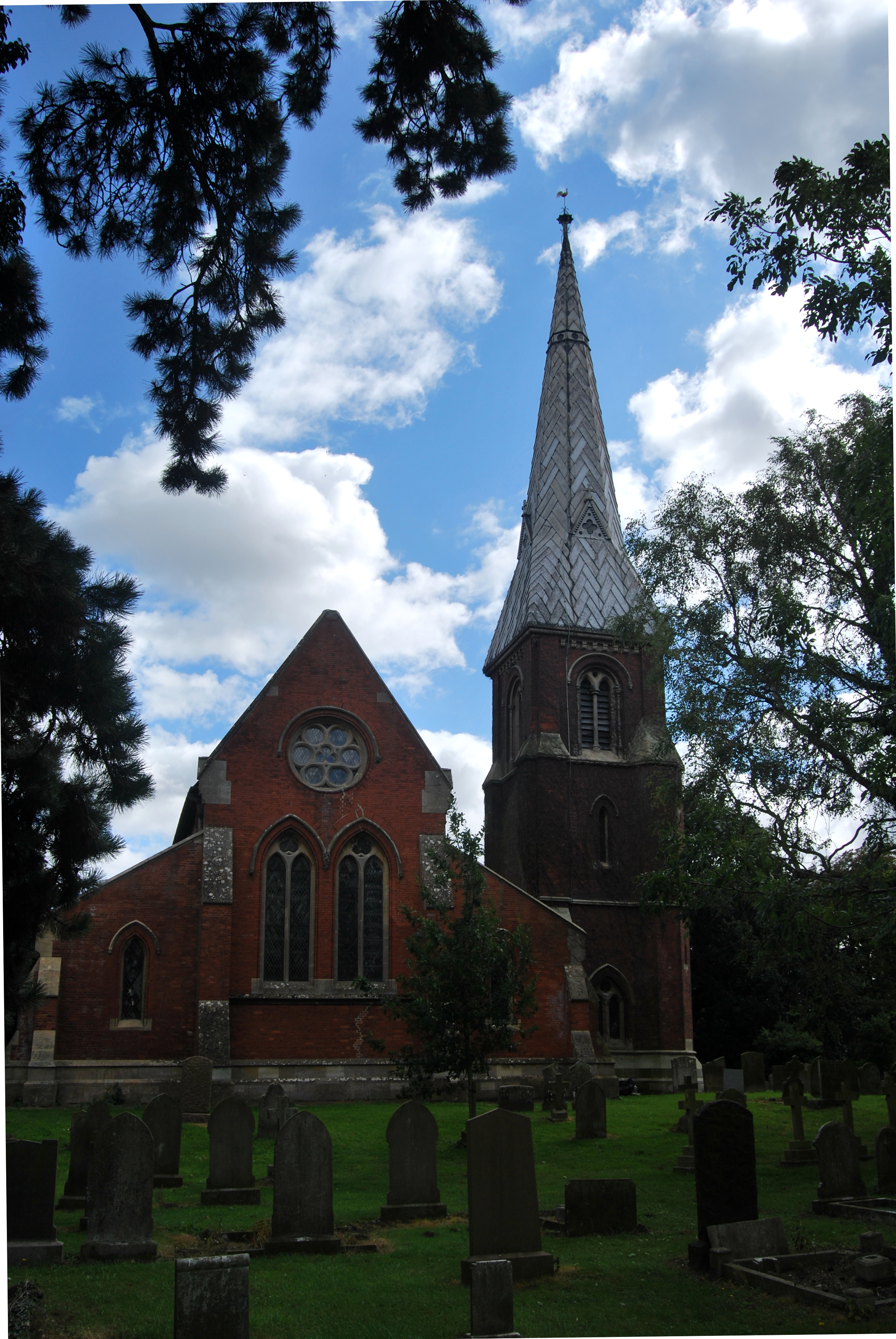
St Mary's Church, Sutterton

St Mary's Church (or The Church of Saint Mary the Blessed Virgin) is an Anglican church and Grade I Listed building in Sutterton, Lincolnshire, England...

Surfleet railway station

Surfleet railway station was a station in Surfleet, Lincolnshire, England. It closed to passenger traffic on 11 September 1961. The rail line is now the...

Parts of Holland

The Parts of Holland is a historical division of Lincolnshire, England, encompassing the south-east of the county. The name is still recognised locally...

Nearby Amenities

Located within 500m of 52.86693,-0.071177771
Algarkirk Marsh
Place: locality
Source: Bing
Lat/Long: 52.8672393/-0.0748189
Algarkirk Marsh
Place: locality
Source: Bing
Lat/Long: 52.8683635/-0.06435
Surfleet Marsh Farm
Place: farm
Source: Bing
Lat/Long: 52.8633207/-0.072613
Marsh Farm
Historic Place: farm
Source: Bing
Lat/Long: 52.8682079/-0.0761123
Risegate Outfall
Place: locality
Lat/Long: 52.8661547/-0.0650556
Material: wood
Power: tower
Structure: solid
Tower Type: crossing
Lat/Long: 52.8664328/-0.0642573
The data included in this document is from www.openstreetmap.org. The data is made available under ODbL.

Have you been to Algarkirk Marsh?

Leave your review of Algarkirk Marsh below (or comments, questions and feedback).