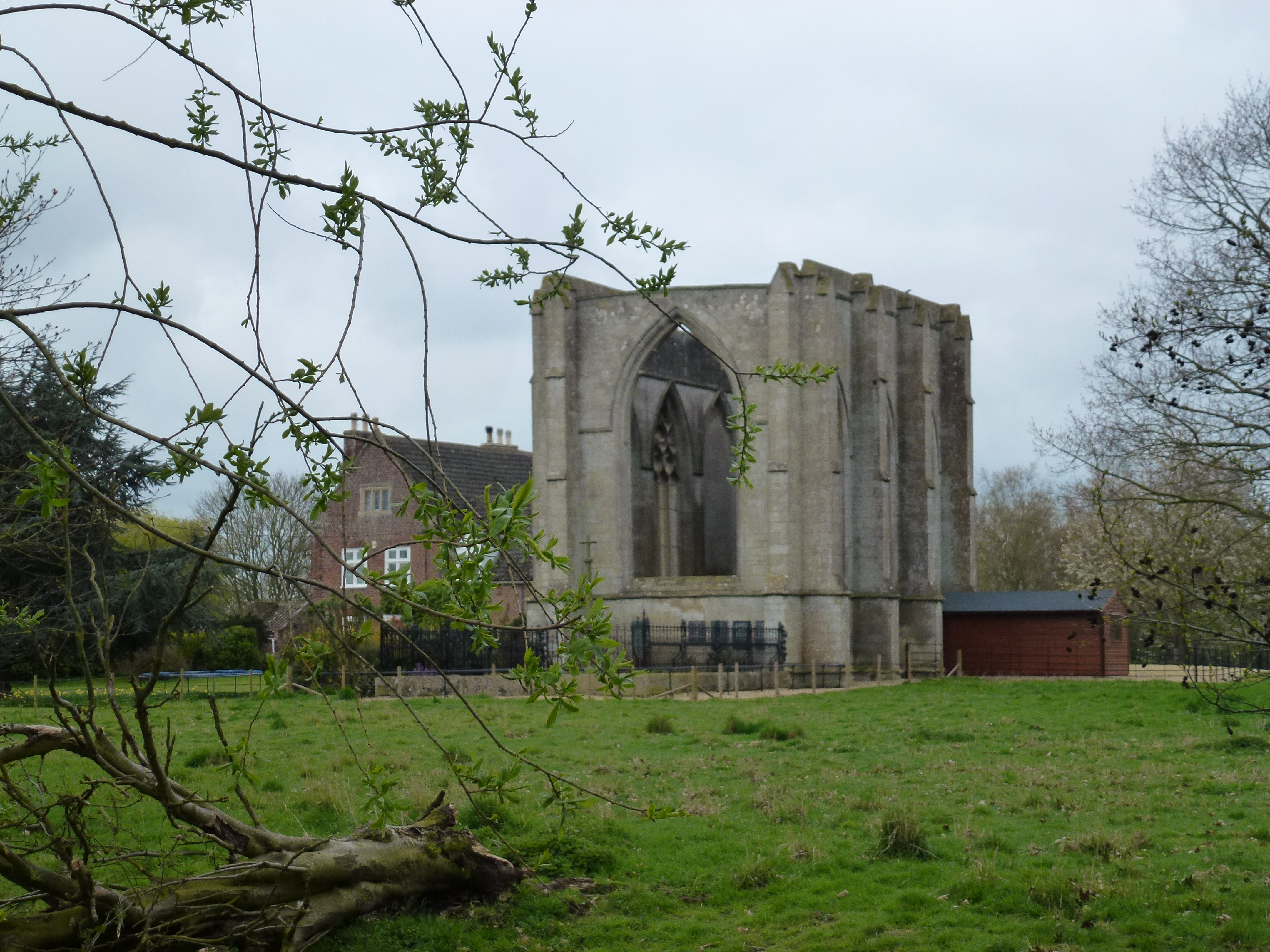
Weston Marsh
Coastal Marsh, Saltings in Lincolnshire South Holland
England
Weston Marsh

Weston Marsh is a coastal marshland located in Lincolnshire, England. It is situated along the eastern coast of the country and is known for its unique ecosystem and diverse wildlife. The marsh is characterized by its vast stretches of salt marshes and saltings, which are areas of land that are regularly flooded by the tides.
The marshland is an important habitat for a variety of bird species, making it a popular destination for birdwatchers and nature enthusiasts. Many migratory birds, such as Brent geese, waders, and ducks, can be spotted in the area. The salt marshes provide an ideal feeding ground for these birds, as they are rich in marine invertebrates and other small organisms.
In addition to birdlife, Weston Marsh is also home to various plant species that are adapted to the marshy conditions. Sea lavender, sea aster, and sea purslane are some of the plants that thrive in the salt marshes. These plants play a crucial role in stabilizing the marshland and preventing erosion.
The marshland itself is a dynamic and ever-changing environment, shaped by the constant ebb and flow of tides. The saltwater that flows into the marsh helps to maintain the unique balance of salt and freshwater, creating a habitat that supports a wide range of organisms.
Weston Marsh offers visitors the opportunity to explore its natural beauty through designated trails and observation points. It is a place where one can immerse themselves in the tranquility of nature, observe the intricate web of life, and appreciate the delicate balance of this coastal ecosystem.
If you have any feedback on the listing, please let us know in the comments section below.
Weston Marsh Images
Images are sourced within 2km of 52.833516/-0.087029095 or Grid Reference TF2827. Thanks to Geograph Open Source API. All images are credited.


Weston Marsh is located at Grid Ref: TF2827 (Lat: 52.833516, Lng: -0.087029095)
Administrative County: Lincolnshire
District: South Holland
Police Authority: Lincolnshire
What 3 Words
///gentlemen.broadens.older. Near Whaplode, Lincolnshire
Nearby Locations
Related Wikis
Wykeham, Weston, Lincolnshire
Wykeham /ˈwɪk.əm/ is a deserted medieval village in the civil parish of Weston in the South Holland district of Lincolnshire, England. Wykeham is the...

Surfleet railway station
Surfleet railway station was a station in Surfleet, Lincolnshire, England. It closed to passenger traffic on 11 September 1961. The rail line is now the...
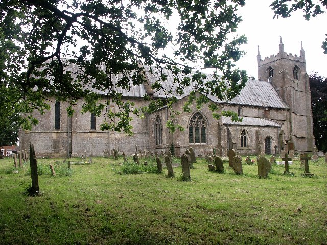
Weston, Lincolnshire
Weston is a village and civil parish in the South Holland district of Lincolnshire, England. It is situated approximately 2 miles (3 km) north-east from...
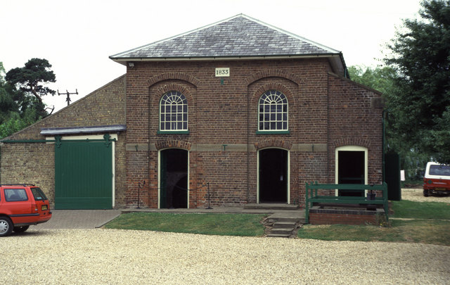
Pinchbeck Engine
The Pinchbeck Engine is a drainage engine, a rotative beam engine built in 1833 to drain Pinchbeck Marsh, to the north of Spalding, Lincolnshire, in England...

Moulton Seas End
Moulton Seas End is a village in the civil parish of The Moultons and the South Holland district of Lincolnshire, England. It is 5 miles (8 km) north...

Parts of Holland
The Parts of Holland is a historical division of Lincolnshire, England, encompassing the south-east of the county. The name is still recognised locally...

Surfleet
Surfleet is a small village and civil parish in the South Holland district of Lincolnshire, England. It is situated on the B1356 road, 3 miles (4.8 km...

Belnie
Belnie is a hamlet in the civil parish of Gosberton, Lincolnshire, England. == References ==
Nearby Amenities
Located within 500m of 52.833516,-0.087029095Have you been to Weston Marsh?
Leave your review of Weston Marsh below (or comments, questions and feedback).