Surfleet Marsh

Coastal Marsh, Saltings in Lincolnshire South Holland

England

Surfleet Marsh

One misty moisty morning When cloudy was the weather etc.  Surfleet Marsh Farmhouse appears out of the gloom.
One misty moisty morning Credit: Ian Paterson

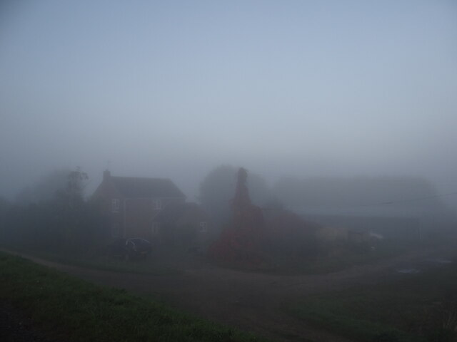
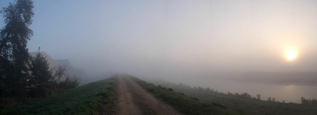
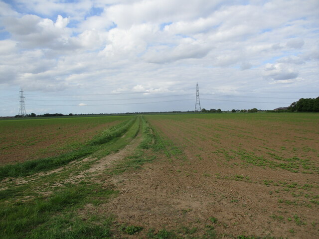
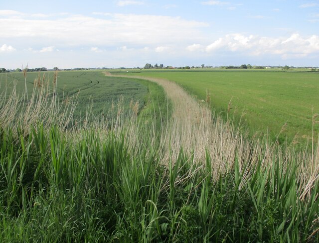
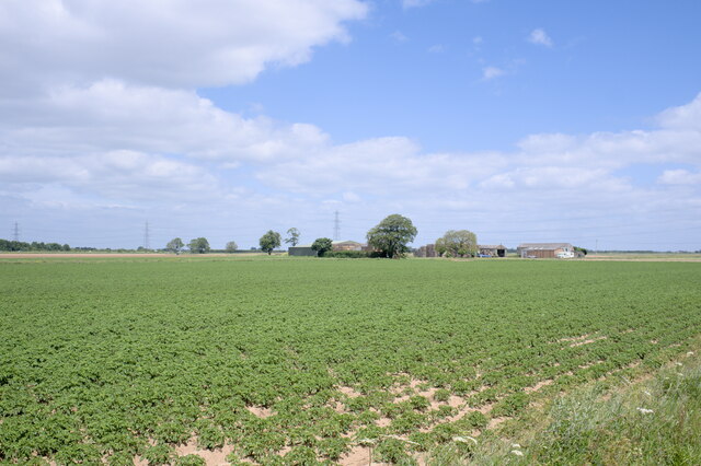
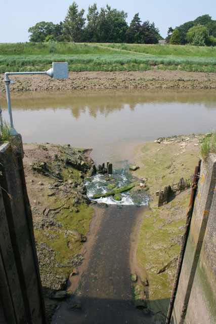
Surfleet Marsh is a picturesque coastal marshland located in Lincolnshire, England. Stretching across approximately 1,000 acres, this marshland is characterized by its unique blend of saltwater creeks, mudflats, and saltmarsh vegetation.

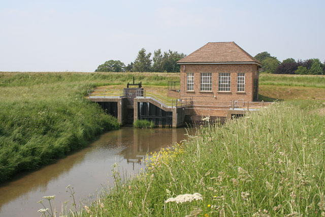
Situated along the eastern coast of England, Surfleet Marsh is part of the larger Wash and North Norfolk Coast Special Protection Area, which is recognized for its rich biodiversity and ecological significance. The marshland acts as a vital habitat for numerous bird species, making it a popular destination for birdwatchers and nature enthusiasts.

The extensive mudflats of Surfleet Marsh are exposed during low tide, revealing a vast expanse of nutrient-rich sediment that supports a diverse array of marine life. These mudflats provide an important feeding ground for wading birds, such as redshanks, avocets, and dunlins.

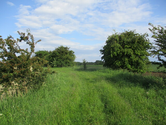
The saltmarsh vegetation of Surfleet Marsh is another notable feature. It consists of various plant species, including samphire, sea lavender, and glasswort, which are well-adapted to the high salinity levels of the area. These plants not only provide a unique aesthetic to the marshland but also play a crucial role in stabilizing the soil and preventing erosion.

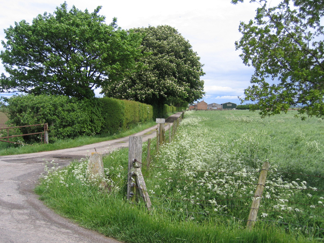
Visitors to Surfleet Marsh can explore the area through a network of footpaths and nature trails, offering breathtaking views of the surrounding coastal landscape. The marshland provides an opportunity for people to connect with nature, observe wildlife, and appreciate the remarkable beauty of this coastal ecosystem.

If you have any feedback on the listing, please let us know in the comments section below.

Surfleet Marsh Images

Images are sourced within 2km of 52.861405/-0.090927584 or Grid Reference TF2831. Thanks to Geograph Open Source API. All images are credited.

One misty moisty morning When cloudy was the weather etc.  Surfleet Marsh Farmhouse appears out of the gloom.
One misty moisty morning
When cloudy was the weather etc. Surfleet Marsh Farmhouse appears out of the gloom.
Morning panorama A glorious autumn day is in store once the sun disperses the mist.
Morning panorama
A glorious autumn day is in store once the sun disperses the mist.
Drain and wheat field off Peter Seadike Lane
Wheatfield off Peter Seadike Lane
Farm track off Gosberton Bank
Field recently planted with brassicas, Surfleet Marsh
Wheat field, Surfleet Marsh
Old Sea Bank, Sutterton Marsh
Sutterton Marsh Seen from the old sea wall.
Sutterton Marsh
Seen from the old sea wall.
Surfleet sea bank The road called "Surfleet Bank" is elevated because it largely follows an ancient sea bank that was important before the mechanical drainage of the Victorian era, and again in 1953.
Surfleet sea bank
The road called "Surfleet Bank" is elevated because it largely follows an ancient sea bank that was important before the mechanical drainage of the Victorian era, and again in 1953.
The old sea bank A portion, less elvated than the rest of it, of the old Surfleet Sea Bank.
The old sea bank
A portion, less elvated than the rest of it, of the old Surfleet Sea Bank.
Surfleet Bank Surfleet Bank is the name of a country lane that follows the erstwhile sea wall.
Surfleet Bank
Surfleet Bank is the name of a country lane that follows the erstwhile sea wall.
Field of Tatas Lincolnshire is a good place to grow potatoes, although some sort of problem has occurred along the edge of this field.  I imagine it was either too wet or too dry.
Field of Tatas
Lincolnshire is a good place to grow potatoes, although some sort of problem has occurred along the edge of this field. I imagine it was either too wet or too dry.
Lots of potatoes And, in the distance, a farm called Woad Farm.
Lots of potatoes
And, in the distance, a farm called Woad Farm.
Peter Seadyke Lane, Surfleet, Lincs meandering through the centre of the square – looking east.
Peter Seadyke Lane, Surfleet, Lincs
meandering through the centre of the square – looking east.
Hill's Farm, Gosberton Marsh, Lincs – farm drive from Gosberton Bank, which formed the ancient sea bank along the Bicker Haven estuary.
Hill's Farm, Gosberton Marsh, Lincs
– farm drive from Gosberton Bank, which formed the ancient sea bank along the Bicker Haven estuary.
Lord's Drain Pumping Station The sluice bears the date 1957 and the pumping station, 1962. At high tide the river Welland, beyond the flood bank, is about level with the top of the sluice wall. The sluice and pumps operate automatically, controlled by a water level sensor on the drain outfall into the river. See <a href="https://www.geograph.org.uk/photo/183927">TF2930 : Lord's Drain outfall</a>
Lord's Drain Pumping Station
The sluice bears the date 1957 and the pumping station, 1962. At high tide the river Welland, beyond the flood bank, is about level with the top of the sluice wall. The sluice and pumps operate automatically, controlled by a water level sensor on the drain outfall into the river. See TF2930 : Lord's Drain outfall
Lord's Drain outfall High water level in the River Welland is marked by the grass line on the opposite bank. Note the water level sensor on the metal arm.
Lord's Drain outfall
High water level in the River Welland is marked by the grass line on the opposite bank. Note the water level sensor on the metal arm.
Show me another place!

Surfleet Marsh is located at Grid Ref: TF2831 (Lat: 52.861405, Lng: -0.090927584)

Administrative County: Lincolnshire

District: South Holland

Police Authority: Lincolnshire

What 3 Words

///maple.requests.schooling. Near Sutterton, Lincolnshire

Nearby Locations

Surfleet Marsh

Related Wikis

Surfleet railway station

Surfleet railway station was a station in Surfleet, Lincolnshire, England. It closed to passenger traffic on 11 September 1961. The rail line is now the...

Algarkirk

Algarkirk ( AL-jər-kurk) is a village and civil parish in the Borough of Boston in Lincolnshire, England. It is situated 6 miles (9.7 km) south-south-west...

Algarkirk and Sutterton railway station

Algarkirk and Sutterton railway station was a station which served the villages of Algarkirk and Sutterton in the English county of Lincolnshire. It was...

Belnie

Belnie is a hamlet in the civil parish of Gosberton, Lincolnshire, England. == References ==

Burtoft

Burtoft is a hamlet in the civil parish of Wigtoft, Lincolnshire, England, approximately 7 miles (11 km) southwest of the market town of Boston.Burtoft...

Sutterton

Sutterton is a village and civil parish in the Borough of Boston in Lincolnshire, England. The population of the parish at the 2011 census was 1,585....

Fosdyke

Fosdyke is a village and civil parish in the Borough of Boston, Lincolnshire, England. The population of the civil parish at the 2011 census was 480. It...

Gosberton

Gosberton is a village and civil parish in the South Holland district of Lincolnshire, England. It is situated 9 miles (14.5 km) south-west of Boston,...

Nearby Amenities

Located within 500m of 52.861405,-0.090927584
Surfleet Marsh
Place: locality
Source: Bing
Lat/Long: 52.8602646/-0.09162
Roseliegh House
Place: isolated_dwelling
Source: Bing
Lat/Long: 52.8585419/-0.0901125
Big Tree Honey Farm
Addr City: Spalding
Addr Country: GB
Addr Postcode: PE11 4DW
Addr Street: Marsh Drove
Addr Village: Surfleet Marsh
Craft: beekeeper
Fhrs Authority: South Holland
Fhrs Id: 243283
Fhrs Local Authority Id: 31801
Lat/Long: 52.8586303/-0.0900042
The data included in this document is from www.openstreetmap.org. The data is made available under ODbL.

Have you been to Surfleet Marsh?

Leave your review of Surfleet Marsh below (or comments, questions and feedback).