Gosberton Marsh

Coastal Marsh, Saltings in Lincolnshire South Holland

England

Gosberton Marsh

Drain and wheat field off Peter Seadike Lane
Drain and wheat field off Peter Seadike Lane Credit: Jonathan Thacker

Gosberton Marsh is a coastal marsh located in the county of Lincolnshire, England. Situated near the village of Gosberton, it forms part of the extensive saltmarshes and saltings that line the eastern coast of the country.

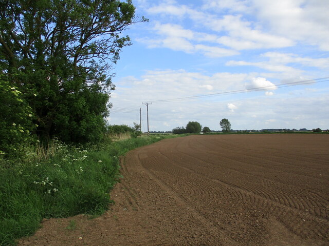
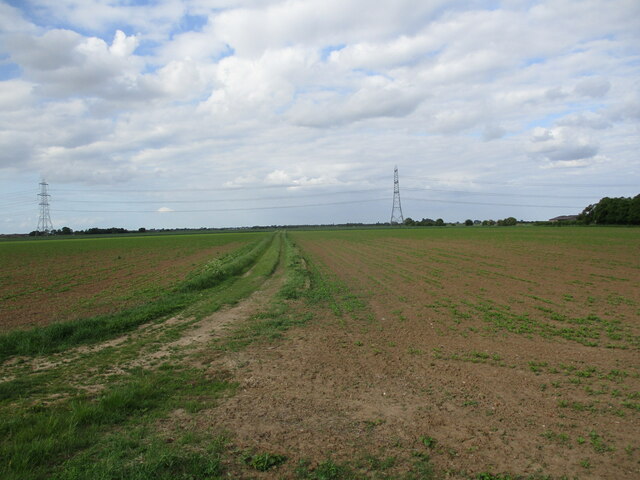
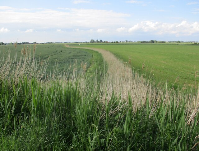
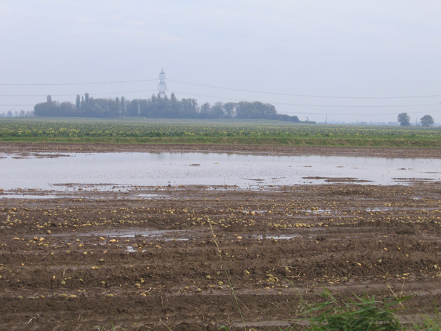
Covering an area of approximately 400 hectares, Gosberton Marsh is a diverse and ecologically significant habitat. It is characterized by its flat, low-lying terrain, which is largely composed of tidal mudflats and salt marshes. The marsh is intersected by numerous tidal creeks and channels, which are influenced by the ebb and flow of the nearby North Sea.

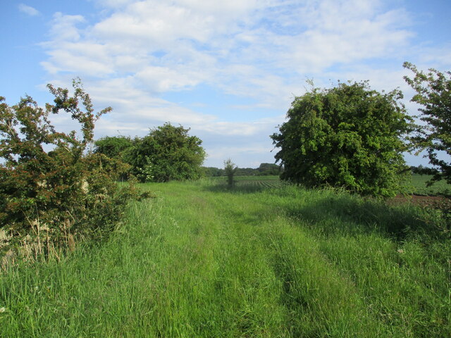
The marshland is home to a wide variety of plant and animal species, many of which are adapted to the unique conditions of saltmarshes. Common plants found in the area include sea lavender, sea aster, and samphire. These plants not only provide important food sources for resident bird populations but also contribute to the stabilization of the marshland.

Gosberton Marsh is a haven for birdwatchers and nature enthusiasts alike. It provides vital feeding and breeding grounds for numerous species of wading birds, such as redshanks, curlews, and oystercatchers. During the winter months, the marsh becomes a temporary home for migratory birds, including Brent geese and dunlins.

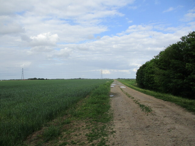
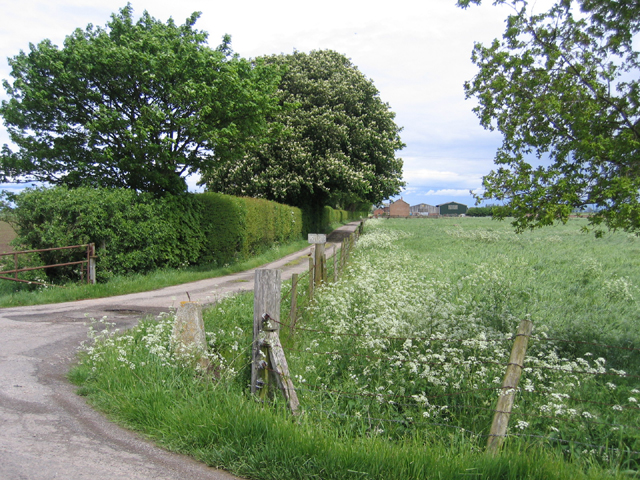
The marshland is managed and protected by various conservation organizations to ensure the preservation of this valuable habitat. Access to the marsh is provided by public footpaths and a bird hide, allowing visitors to observe and appreciate the natural beauty of Gosberton Marsh while respecting its delicate ecosystem.

If you have any feedback on the listing, please let us know in the comments section below.

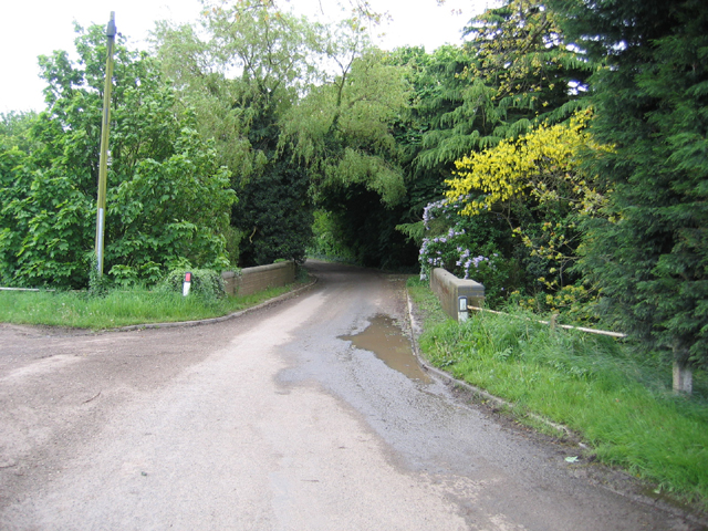
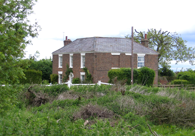
Gosberton Marsh Images

Images are sourced within 2km of 52.872065/-0.11944885 or Grid Reference TF2632. Thanks to Geograph Open Source API. All images are credited.

Drain and wheat field off Peter Seadike Lane
Wheatfield off Peter Seadike Lane
Prepared field off Gosberton Bank
Farm track alongside Risegate Eau
Farm track off Gosberton Bank
Field recently planted with brassicas, Surfleet Marsh
Wheat field, Surfleet Marsh
Old Sea Bank, Sutterton Marsh
Sutterton Marsh Seen from the old sea wall.
Sutterton Marsh
Seen from the old sea wall.
Sodden tates, Quadring Eaudike, Lincs Undulations in an otherwise flat silt fenland are salterns or salt hills; localised flooding in the intervening hollows has occurred after heavy autumn rainfall on a harvested potato field.
Sodden tates, Quadring Eaudike, Lincs
Undulations in an otherwise flat silt fenland are salterns or salt hills; localised flooding in the intervening hollows has occurred after heavy autumn rainfall on a harvested potato field.
Burnt House, Peter Seadyke Lane, Surfleet, Lincs the only house in the square.
Burnt House, Peter Seadyke Lane, Surfleet, Lincs
the only house in the square.
Peter Seadyke Lane, Surfleet, Lincs meandering through the centre of the square – looking west.
Peter Seadyke Lane, Surfleet, Lincs
meandering through the centre of the square – looking west.
Peter Seadyke Lane, Surfleet, Lincs meandering through the centre of the square – looking east.
Peter Seadyke Lane, Surfleet, Lincs
meandering through the centre of the square – looking east.
Hill's Farm, Gosberton Marsh, Lincs – farm drive from Gosberton Bank, which formed the ancient sea bank along the Bicker Haven estuary.
Hill's Farm, Gosberton Marsh, Lincs
– farm drive from Gosberton Bank, which formed the ancient sea bank along the Bicker Haven estuary.
Risegate Eau bridge, Gosberton Marsh, Lincs carrying Gosberton Bank road over the drain taking water to the Welland across Gosberton Marsh.
Risegate Eau bridge, Gosberton Marsh, Lincs
carrying Gosberton Bank road over the drain taking water to the Welland across Gosberton Marsh.
Gosberton Bank bridge, Gosberton Marsh, Lincs crossing Risegate Eau drain.
Gosberton Bank bridge, Gosberton Marsh, Lincs
crossing Risegate Eau drain.
Elm Tree Farm, Gosberton, Lincs situated beside Gosberton Bank.
Elm Tree Farm, Gosberton, Lincs
situated beside Gosberton Bank.
Derelict agricultural holding, Surfleet, Lincs north of the Peter Seadyke Lane.
Derelict agricultural holding, Surfleet, Lincs
north of the Peter Seadyke Lane.
Show me another place!

Gosberton Marsh is located at Grid Ref: TF2632 (Lat: 52.872065, Lng: -0.11944885)

Administrative County: Lincolnshire

District: South Holland

Police Authority: Lincolnshire

What 3 Words

///asserts.forgives.conductor. Near Gosberton, Lincolnshire

Related Wikis

Burtoft

Burtoft is a hamlet in the civil parish of Wigtoft, Lincolnshire, England, approximately 7 miles (11 km) southwest of the market town of Boston. Burtoft...

Quadring Eaudike

Quadring Eaudike is a hamlet in the South Holland district of Lincolnshire, England. It lies approximately 1 mile (2 km) east from the A152 road, and 2...

Belnie

Belnie is a hamlet in the civil parish of Gosberton, Lincolnshire, England. == References ==

Algarkirk and Sutterton railway station

Algarkirk and Sutterton railway station was a station which served the villages of Algarkirk and Sutterton in the English county of Lincolnshire. It was...

Nearby Amenities

Located within 500m of 52.872065,-0.11944885
Power: tower
Lat/Long: 52.8739861/-0.120055
Power: tower
Lat/Long: 52.8714864/-0.1162141
Gosberton Marsh
Place: locality
Source: Bing
Lat/Long: 52.8722786/-0.1215135
The data included in this document is from www.openstreetmap.org. The data is made available under ODbL.

Have you been to Gosberton Marsh?

Leave your review of Gosberton Marsh below (or comments, questions and feedback).