Bicker Haven
Downs, Moorland in Lincolnshire South Holland
England
Bicker Haven
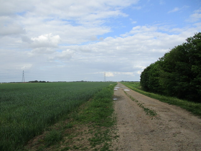
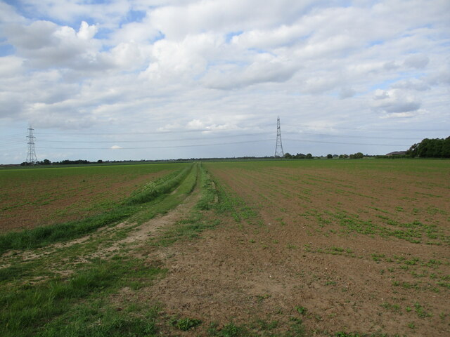
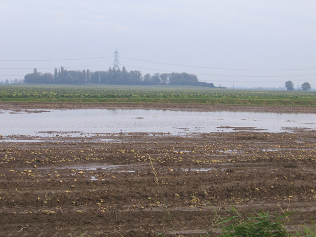
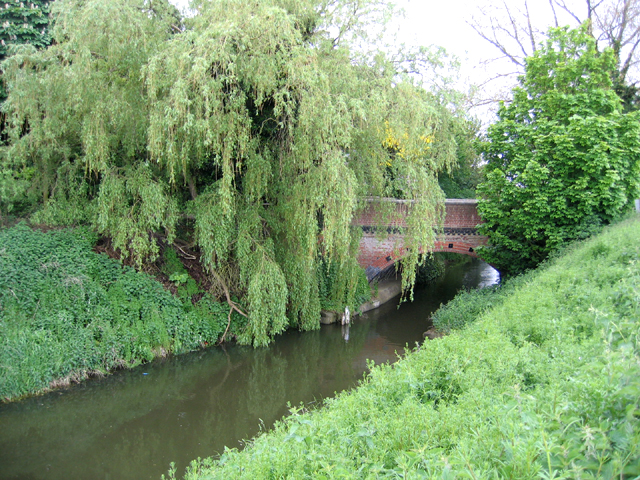
Bicker Haven, located in Lincolnshire, is a picturesque area encompassing both downs and moorland. It is a haven for nature lovers and outdoor enthusiasts, offering diverse landscapes and an abundance of wildlife.
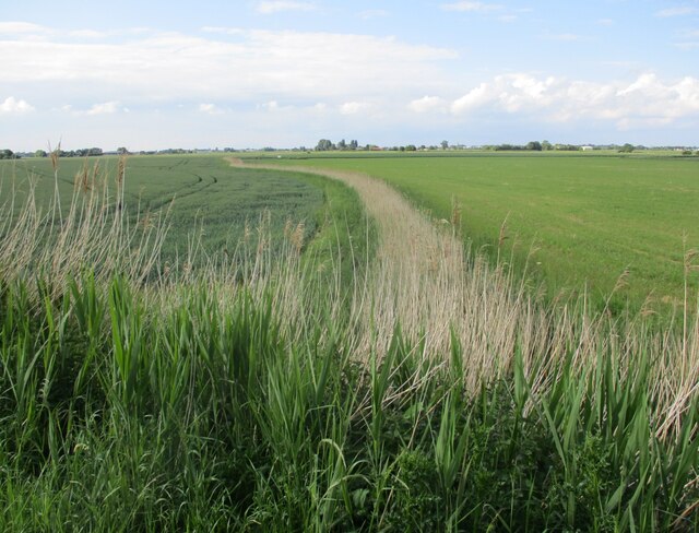
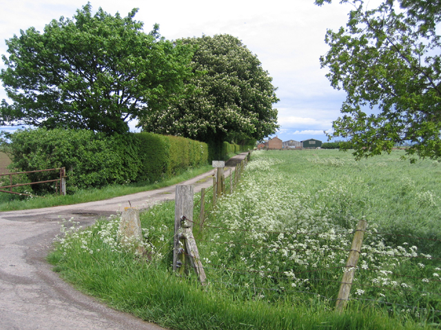
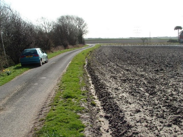
The downs in Bicker Haven are characterized by their gently rolling hills and vast open spaces. These grassy slopes are perfect for leisurely walks, picnics, and enjoying panoramic views of the surrounding countryside. The downs are also home to a variety of plant species, including wildflowers, heather, and gorse, providing a colorful spectacle throughout the year.
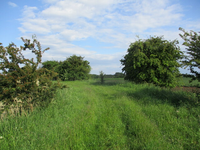
On the other hand, the moorland in Bicker Haven offers a more rugged and untamed environment. This area is characterized by its expanses of heathland and peat bogs, which provide a unique habitat for rare and endangered species. Moorland birds such as curlews, lapwings, and red grouse can often be spotted here, making it a popular destination for birdwatchers.
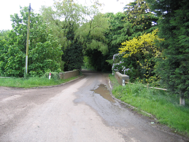
Bicker Haven is known for its tranquil atmosphere and the opportunity to escape the hustle and bustle of city life. The unspoiled natural beauty of the area attracts visitors who seek peace and relaxation. It also provides a perfect setting for outdoor activities such as hiking, cycling, and horse riding.
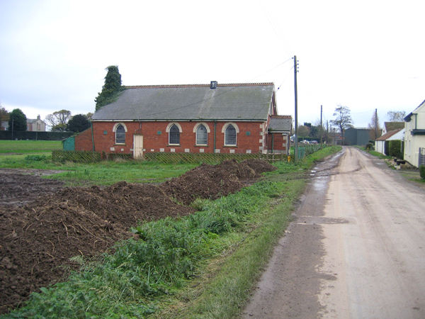
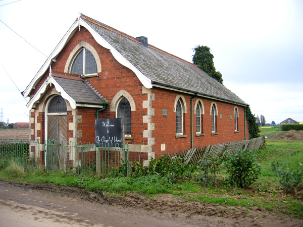
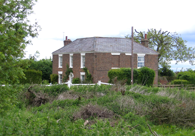
In addition to its natural attractions, Bicker Haven is surrounded by charming villages and historic landmarks. Nearby attractions include Bicker Windmill, a traditional windmill that offers visitors a glimpse into the area's agricultural past, and the medieval Bicker Castle, which showcases the region's rich history.
Overall, Bicker Haven in Lincolnshire offers a wonderful blend of downs and moorland, providing a haven for nature enthusiasts and a tranquil escape for all who visit.
If you have any feedback on the listing, please let us know in the comments section below.
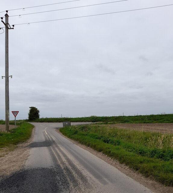
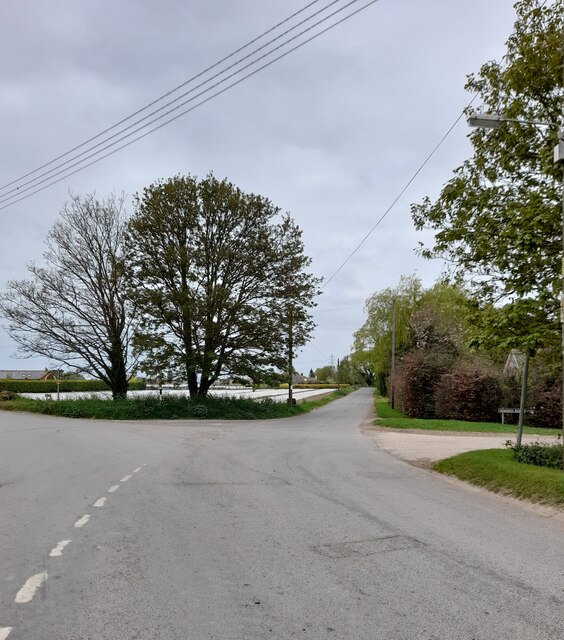
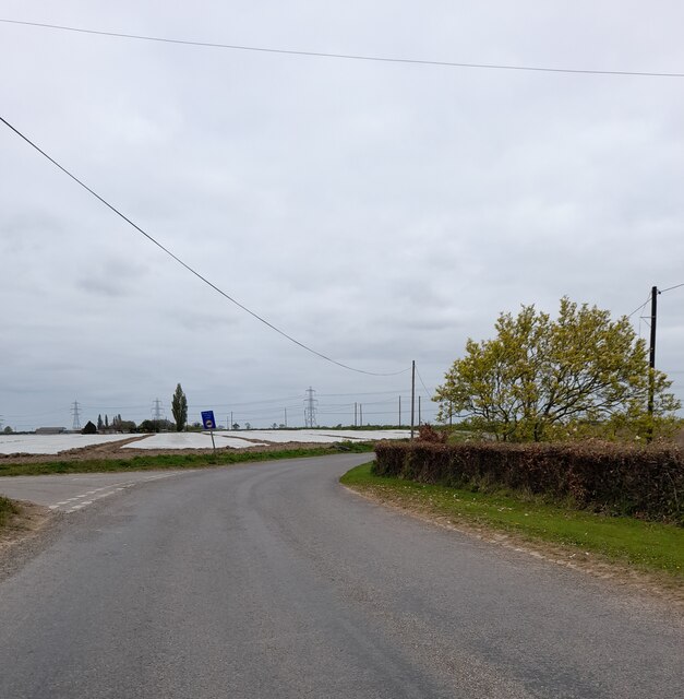
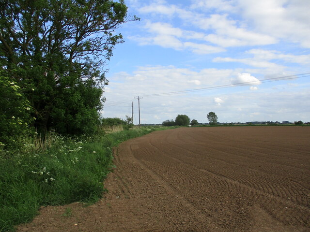
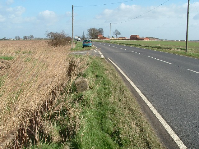
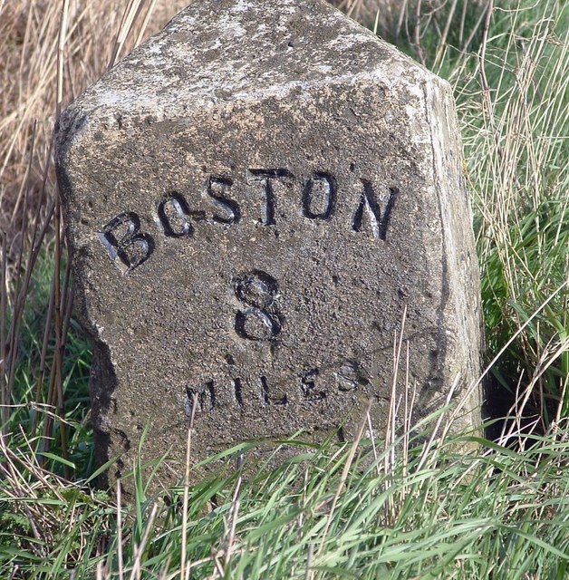
Bicker Haven Images
Images are sourced within 2km of 52.877732/-0.12419682 or Grid Reference TF2632. Thanks to Geograph Open Source API. All images are credited.
Bicker Haven is located at Grid Ref: TF2632 (Lat: 52.877732, Lng: -0.12419682)
Administrative County: Lincolnshire
District: South Holland
Police Authority: Lincolnshire
What 3 Words
///famines.built.taking. Near Gosberton, Lincolnshire
Nearby Locations
Related Wikis

Burtoft
Burtoft is a hamlet in the civil parish of Wigtoft, Lincolnshire, England, approximately 7 miles (11 km) southwest of the market town of Boston.Burtoft...

Quadring Eaudike
Quadring Eaudike is a hamlet in the South Holland district of Lincolnshire, England. It lies approximately 1 mile (2 km) east from the A152 road, and 2...

A152 road
The A152 is a small non-primary A-road in Lincolnshire, from Donington to Surfleet linking the A52 and the A16, two major primary routes. Between Donington...

Algarkirk and Sutterton railway station
Algarkirk and Sutterton railway station was a station which served the villages of Algarkirk and Sutterton in the English county of Lincolnshire. It was...

Belnie
Belnie is a hamlet in the civil parish of Gosberton, Lincolnshire, England. == References ==

Algarkirk
Algarkirk ( AL-jər-kurk) is a village and civil parish in the Borough of Boston in Lincolnshire, England. It is situated 6 miles (9.7 km) south-south-west...

Wigtoft
Wigtoft is a village and civil parish in Lincolnshire, England. It is situated on the A17 road, 6 miles (10 km) geographically south-west from Boston,...

Sutterton
Sutterton is a village and civil parish in the Borough of Boston in Lincolnshire, England. The population of the parish at the 2011 census was 1,585....
Nearby Amenities
Located within 500m of 52.877732,-0.12419682Have you been to Bicker Haven?
Leave your review of Bicker Haven below (or comments, questions and feedback).