Great Tower's Fen
Downs, Moorland in Cambridgeshire
England
Great Tower's Fen

Great Tower's Fen is a picturesque area located in Cambridgeshire, England. It is a unique and diverse landscape that comprises both downs and moorland. The fen is situated in the southern part of the county, near the village of Great Towerhill.
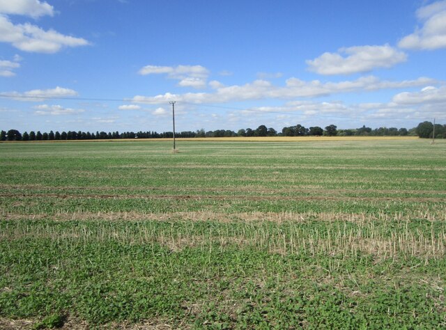
The downs in Great Tower's Fen are characterized by gently rolling hills covered in lush green grass. These open areas provide stunning panoramic views of the surrounding countryside. The downs are home to a variety of flora and fauna, including wildflowers such as harebells and orchids, as well as numerous bird species like skylarks and meadow pipits.
In contrast, the moorland in Great Tower's Fen is a more rugged and wild terrain. It consists of heather-covered expanses, interspersed with patches of bracken and gorse. This habitat supports a range of wildlife, including rare species like the European nightjar and the adder snake.
Great Tower's Fen is also crisscrossed by several streams and small rivers, adding to the beauty and diversity of the area. These waterways provide a habitat for various aquatic plants and animals, and they are often frequented by otters and water voles.
The fen is a popular destination for nature lovers, hikers, and birdwatchers. It offers numerous walking trails and bird hides, allowing visitors to explore and observe the unique flora and fauna that call Great Tower's Fen their home.
If you have any feedback on the listing, please let us know in the comments section below.
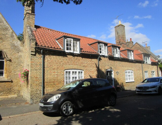
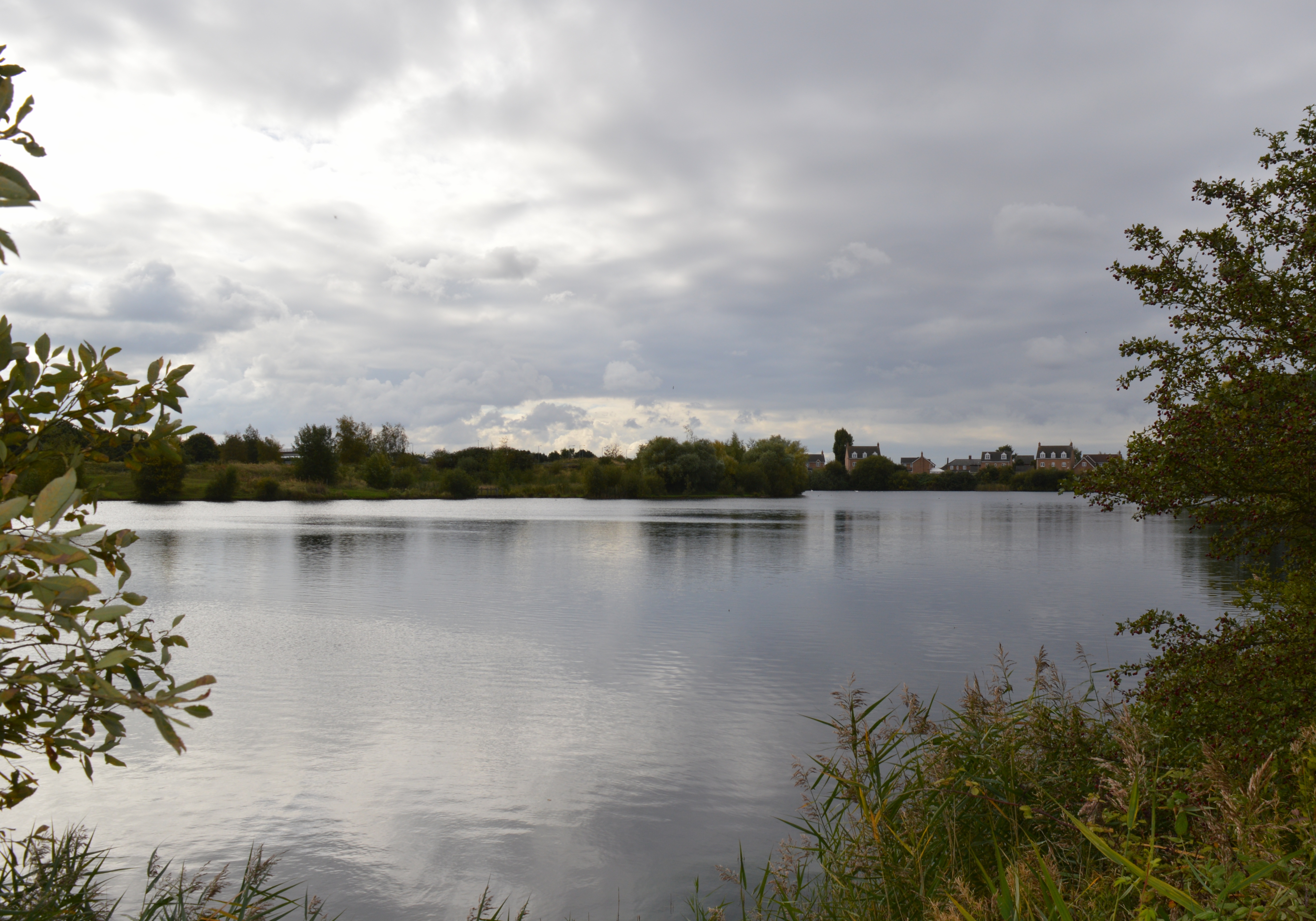
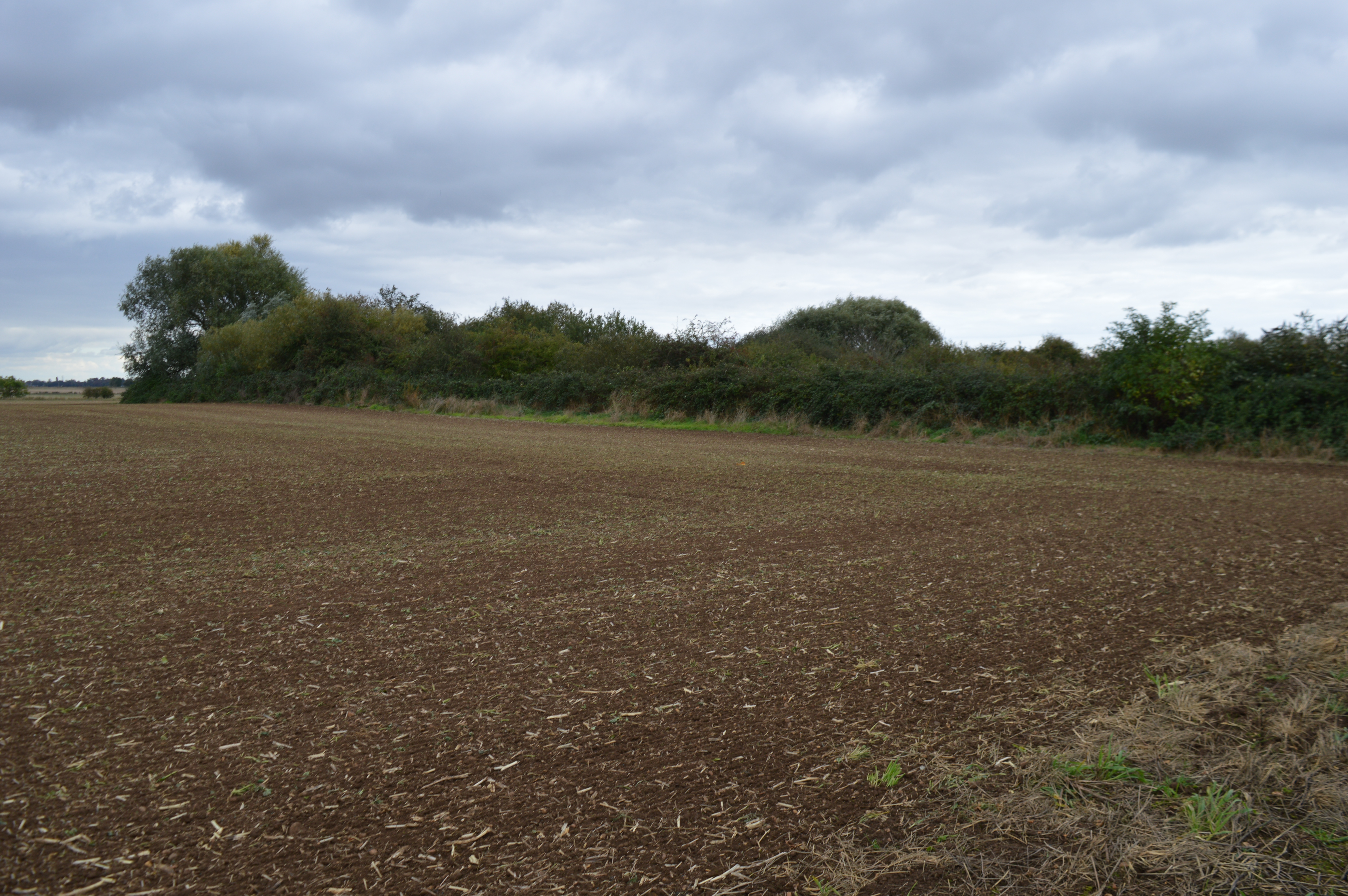
Great Tower's Fen Images
Images are sourced within 2km of 52.623725/-0.13566782 or Grid Reference TF2604. Thanks to Geograph Open Source API. All images are credited.
![Cropmark near Middle West Farm, west of Thorney: aerial 2021 (2) See also <a href="https://www.geograph.org.uk/photo/6924382">TF2504 : Cropmark near Middle West Farm, west of Thorney: aerial 2021 (1)</a>].](https://s2.geograph.org.uk/geophotos/06/92/43/6924398_b46f2b78.jpg)
![Cropmark near Middle West Farm, west of Thorney: aerial 2021 (3) See also <a href="https://www.geograph.org.uk/photo/6924382">TF2504 : Cropmark near Middle West Farm, west of Thorney: aerial 2021 (1)</a>].](https://s2.geograph.org.uk/geophotos/06/92/44/6924410_89b68c86.jpg)
![Cropmark near Middle West Farm, west of Thorney: aerial 2021 (4) See also <a href="https://www.geograph.org.uk/photo/6924382">TF2504 : Cropmark near Middle West Farm, west of Thorney: aerial 2021 (1)</a>].](https://s0.geograph.org.uk/geophotos/06/92/44/6924412_c6860502.jpg)
Great Tower's Fen is located at Grid Ref: TF2604 (Lat: 52.623725, Lng: -0.13566782)
Division: Isle of Ely
Unitary Authority: Peterborough
Police Authority: Cambridgeshire
What 3 Words
///manifests.stitch.topping. Near Thorney, Cambridgeshire
Nearby Locations
Related Wikis

Thorney railway station
Thorney railway station was a station in Thorney, Cambridgeshire on the Midland and Great Northern Joint Railway line between Peterborough and Wisbech...

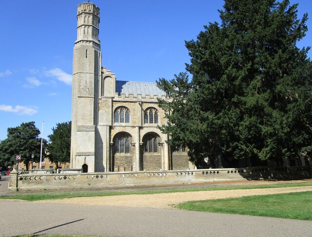
Thorney Abbey
Thorney Abbey, now the Church of St Mary and St Botolph, was a medieval monastic house established on the island of Thorney in The Fens of Cambridgeshire...

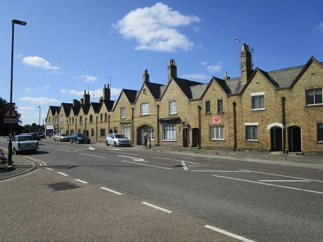
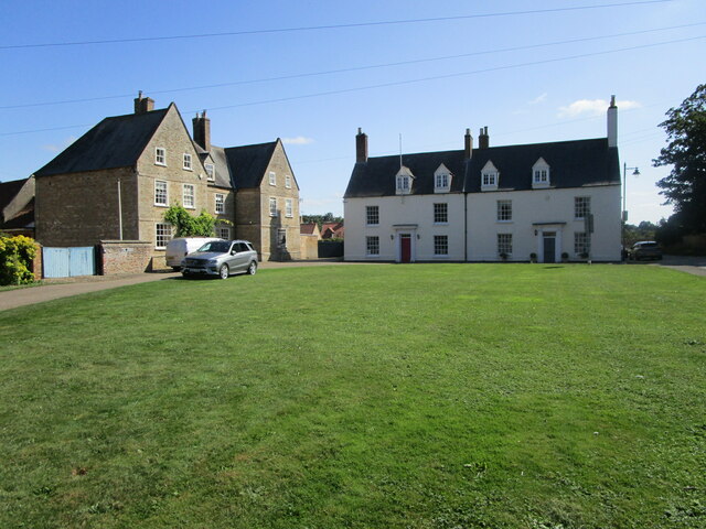
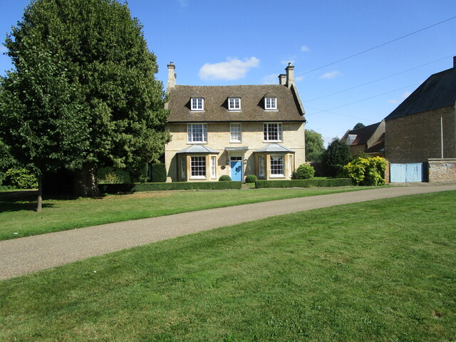
Thorney, Cambridgeshire
Thorney is a village in the Peterborough unitary authority in the ceremonial county of Cambridgeshire, England. Located around eight miles (13 km) east...
Eye Green Local Nature Reserve
Eye Green Local Nature Reserve is a 12 hectare Local Nature Reserve in Eye Green in Cambridgeshire. It was managed by the Wildlife Trust for Bedfordshire...
Eye Gravel Pit
Eye Gravel Pit is a 0.4-hectare (0.99-acre) geological Site of Special Scientific Interest in Eye Green in Cambridgeshire. It is a Geological Conservation...

Eye Green
Eye Green is a hamlet in the unitary authority of Peterborough, in the ceremonial county of Cambridgeshire, England. It lies north of Eye and south of...
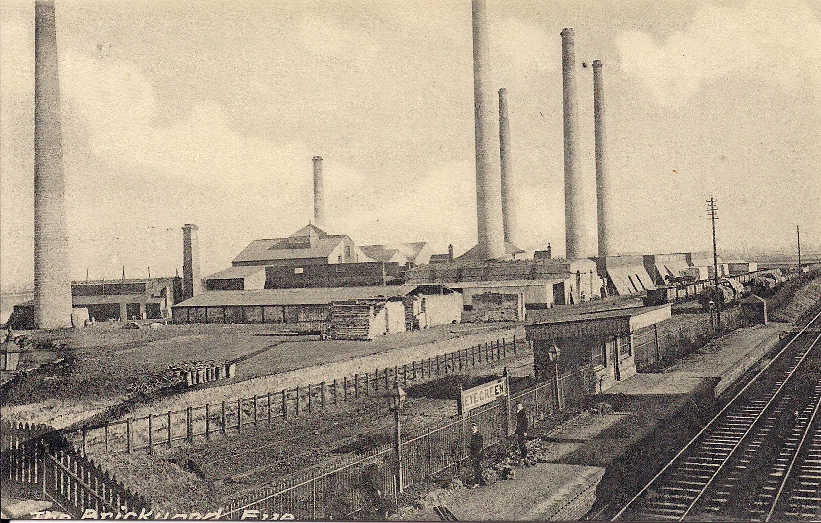
Eye Green railway station
Eye Green railway station was a station in Eye, Cambridgeshire, on the Midland and Great Northern Joint Railway line between Peterborough and Wisbech....
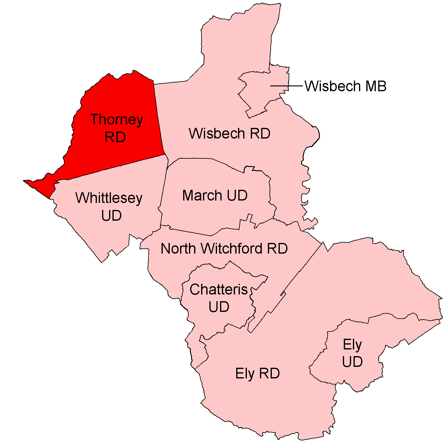
Thorney Rural District
Thorney was a rural district in England from 1894 to 1974, situated to the east of Peterborough. It was created under the Local Government Act 1894, covering...
Related Videos
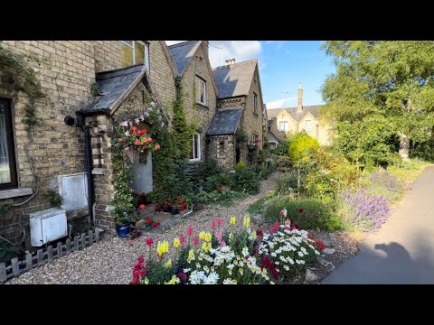
Thorney.Cambridgeshire
Thorney is a village about eight miles (13 km) east of Peterborough city centre. #Thorney#village#England.
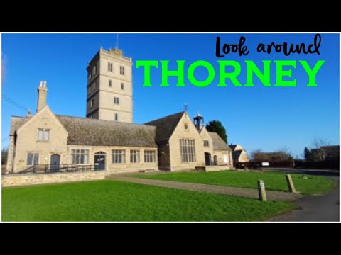
An Abbey, some classic cars and wonderful scenery - A look around Thorney
We have a visit too the village of Thorney near Peterborough. We look around Thorney abbey, check out some amazing classic ...

Christmas Craft Fayre, Bedford Hall Thorney
Crafts and cats at Thorney's Bedford Hall.

The No.36 Bus
I am so angry with Stagecoach for axing the 36 bus service that comes through Thorney and stops off in Eye! So many people rely ...
Nearby Amenities
Located within 500m of 52.623725,-0.13566782Have you been to Great Tower's Fen?
Leave your review of Great Tower's Fen below (or comments, questions and feedback).