New Fen

Downs, Moorland in Huntingdonshire Huntingdonshire

England

New Fen

Farm shed on Ugg Mere Court Road, Ramsey Heights
Farm shed on Ugg Mere Court Road, Ramsey Heights Credit: David Howard

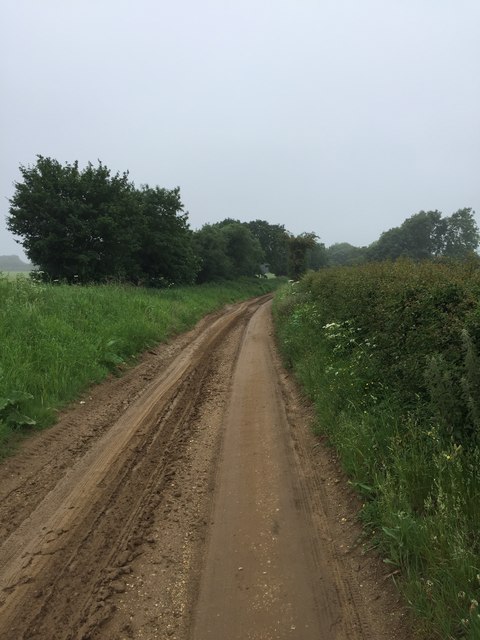
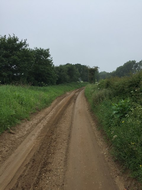
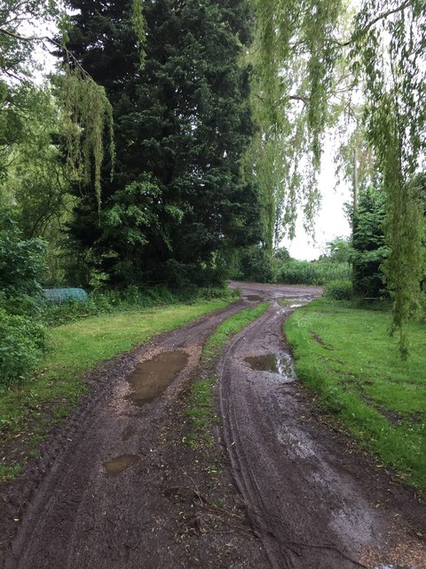
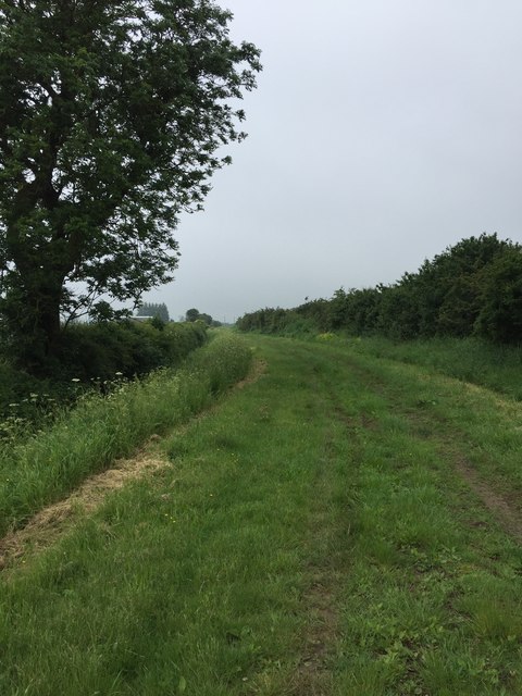
New Fen in Huntingdonshire is a picturesque area known for its diverse landscape of downs, moorland, and wetlands. Located in the eastern part of England, this region offers stunning views of rolling hills, vast open spaces, and unique wildlife habitats.

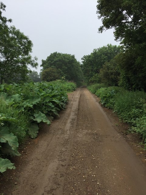
The downs in New Fen are characterized by their gentle slopes and grassy fields, providing a peaceful and serene environment for visitors to explore. Moorland areas are abundant with heather, gorse, and other native vegetation, creating a rich tapestry of colors and textures.

The wetlands of New Fen are home to a variety of bird species, including herons, egrets, and swans, making it a popular destination for birdwatchers and nature enthusiasts. The area is also known for its diverse flora and fauna, with rare and endangered species thriving in its protected habitats.

Visitors to New Fen can enjoy hiking, birdwatching, and photography in this pristine natural setting. The region's tranquil atmosphere and stunning scenery make it a must-visit destination for those seeking to experience the beauty of the English countryside.

If you have any feedback on the listing, please let us know in the comments section below.
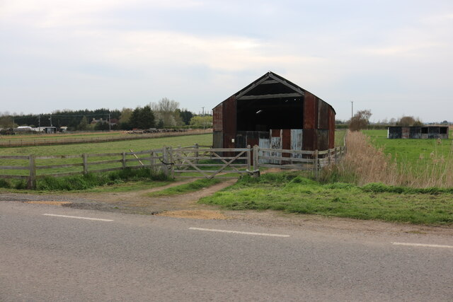
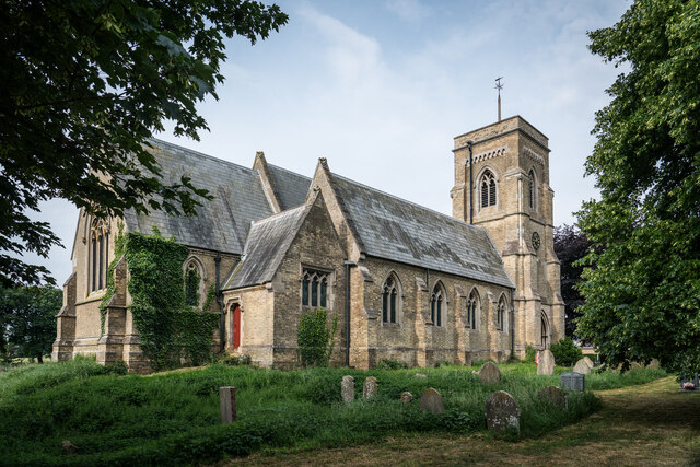
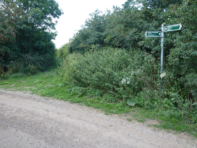
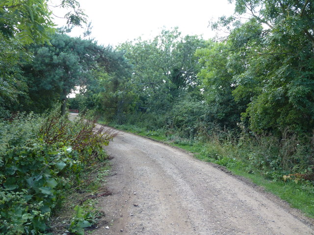
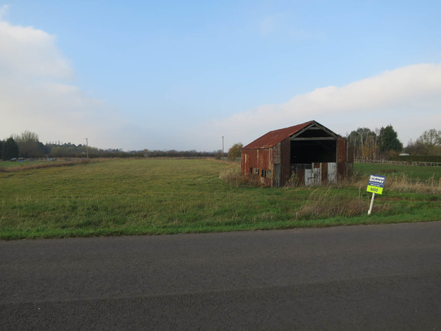
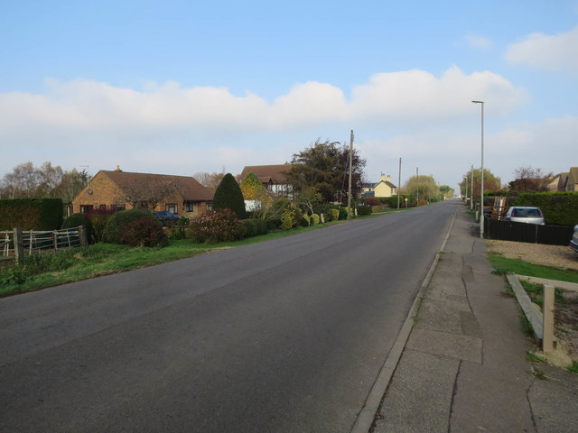
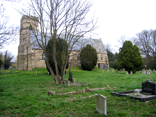
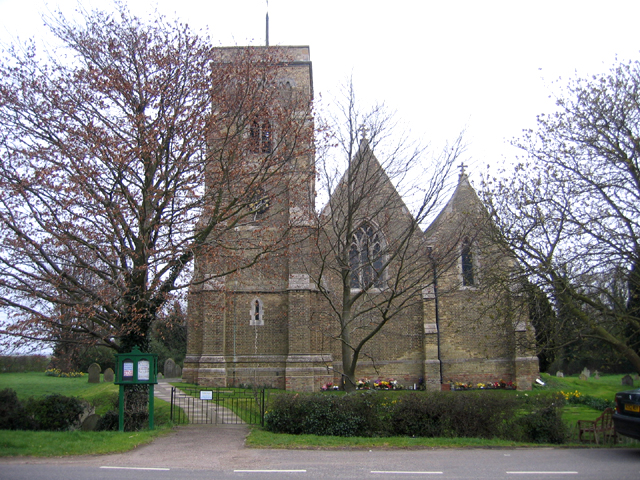
New Fen Images

Images are sourced within 2km of 52.457342/-0.14296917 or Grid Reference TL2685. Thanks to Geograph Open Source API. All images are credited.

Farm shed on Ugg Mere Court Road, Ramsey Heights
St. Mary's Church, Ramsey St Mary's <span class="nowrap"><a title="https://en.wikipedia.org/wiki/Ramsey_St_Mary%27s" rel="nofollow ugc noopener" href="https://en.wikipedia.org/wiki/Ramsey_St_Mary%27s">Link</a><img style="margin-left:2px;" alt="External link" title="External link - shift click to open in new window" src="https://s1.geograph.org.uk/img/external.png" width="10" height="10"/></span>
St. Mary's Church, Ramsey St Mary's
Bury Lane meets Biggin Lane near Ramsey
Bury Lane near Ramsey A public footpath runs along this lane
Bury Lane near Ramsey
A public footpath runs along this lane
White on black One of the Ramsey Wind Farm turbines standing out against storm clouds.
White on black
One of the Ramsey Wind Farm turbines standing out against storm clouds.
Former R.A.F. Upwood, Ramsey: aerial 2016 See <span class="nowrap"><a title="http://wikimapia.org/2232236/Former-RAF-Upwood" rel="nofollow ugc noopener" href="http://wikimapia.org/2232236/Former-RAF-Upwood">Link</a><img style="margin-left:2px;" alt="External link" title="External link - shift click to open in new window" src="https://s1.geograph.org.uk/img/external.png" width="10" height="10"/></span>
Former R.A.F. Upwood, Ramsey: aerial 2016
See LinkExternal link
Biggin Lane
Biggin Lane
Biggin Lane
Biggin Lane
Biggin Lane
Biggin Lane
Bury Lane
Bury Lane
Bury Lane
Bury Lane
Old barn sold, Ramsey Heights I'm guessing this wasn't bought for its current condition.
Old barn sold, Ramsey Heights
I'm guessing this wasn't bought for its current condition.
Ugg Mere Court Road, Ramsey Heights
Ramsey St Mary's parish church, Ramsey, Cambs The church, built on piles driven through the soft ground, now stands raised above the churchyard which has sunk following wastage of the peat soils.
Ramsey St Mary's parish church, Ramsey, Cambs
The church, built on piles driven through the soft ground, now stands raised above the churchyard which has sunk following wastage of the peat soils.
Ramsey St Mary's parish church, Ramsey, Cambs Opened in 1859 and built of local buff-coloured brick; it once carried a wooden and slated broach-spire complete with a weathercock that was removed about 1920.
More info on wikipedia <span class="nowrap"><a title="http://en.wikipedia.org/wiki/Ramsey_St_Mary's" rel="nofollow ugc noopener" href="http://en.wikipedia.org/wiki/Ramsey_St_Mary's">Link</a><img style="margin-left:2px;" alt="External link" title="External link - shift click to open in new window" src="https://s1.geograph.org.uk/img/external.png" width="10" height="10"/></span>
Ramsey St Mary's parish church, Ramsey, Cambs
Opened in 1859 and built of local buff-coloured brick; it once carried a wooden and slated broach-spire complete with a weathercock that was removed about 1920. More info on wikipedia LinkExternal link
Ramsey Heights - at sea level! Some of the land in this village is just below sea level - the contour line in the map is numbered with a zero; so the "heights" are not very high. To the south-east of this position the land slopes up very gently to 20 metres in Ramsey itself.
Ramsey Heights - at sea level!
Some of the land in this village is just below sea level - the contour line in the map is numbered with a zero; so the "heights" are not very high. To the south-east of this position the land slopes up very gently to 20 metres in Ramsey itself.
Barn in low sunshine, Ramsey Heights Photo taken about half an hour before sunset on a late November day.
Barn in low sunshine, Ramsey Heights
Photo taken about half an hour before sunset on a late November day.
Green Hall farm bridge over the Middle Level waterways near Ramsey Cambridgeshire England, UK This is the old course of the river Nene and is still a navigable waterway for shallow draught boats, although a special key for Lodes End lock (about half mile behind photographer) is needed.
Green Hall farm bridge over the Middle Level waterways near Ramsey Cambridgeshire England, UK
This is the old course of the river Nene and is still a navigable waterway for shallow draught boats, although a special key for Lodes End lock (about half mile behind photographer) is needed.
Show me another place!

New Fen is located at Grid Ref: TL2685 (Lat: 52.457342, Lng: -0.14296917)

Administrative County: Cambridgeshire

District: Huntingdonshire

Police Authority: Cambridgeshire

What 3 Words

///worthy.sporting.puff. Near Ramsey, Cambridgeshire

Nearby Locations

New Fen

Related Wikis

Ramsey Heights

Ramsey Heights is a village in Ramsey civil parish, part of the Huntingdonshire district of Cambridgeshire, England. The Ramsey Heights nature reserve...

St Mary's railway station (England)

St. Mary's railway station was the intermediate railway station in Ramsey St Mary's, Cambridgeshire on the Great Northern railway line running from Holme...

Ramsey, Cambridgeshire

Ramsey is a market town and civil parish in the Huntingdonshire district of Cambridgeshire, England. The town is about 9 miles (14 km) north of Huntingdon...

RAF Upwood

Royal Air Force Upwood or more simply RAF Upwood is a former Royal Air Force station adjacent to the village of Upwood, Cambridgeshire, England, in the...

Nearby Amenities

Located within 500m of 52.457342,-0.14296917
New Fen
Place: locality
Source: NPE
Source Name: NPE
Lat/Long: 52.4604576/-0.1399925
Fixme: Not clear whether this really is a marker. Weak evidence from aerial photo.
Marker: yes
Utility: yes
Lat/Long: 52.4559604/-0.1495685
The data included in this document is from www.openstreetmap.org. The data is made available under ODbL.

Have you been to New Fen?

Leave your review of New Fen below (or comments, questions and feedback).