Colony Bog

Lake, Pool, Pond, Freshwater Marsh in Surrey Surrey Heath

England

Colony Bog

Westend Common South of Red Road.
Westend Common Credit: JThomas

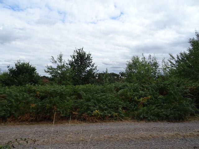
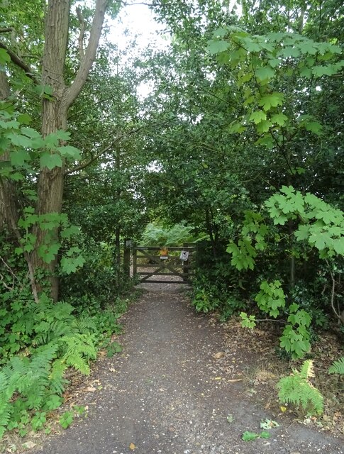
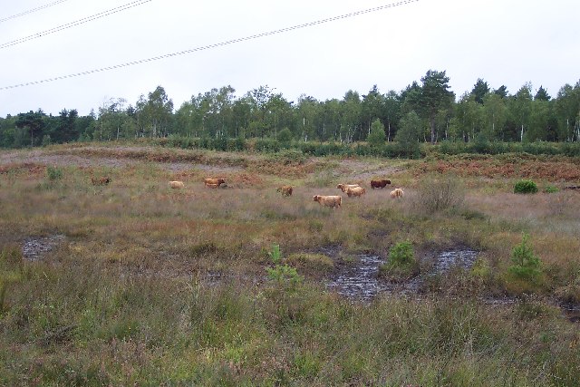
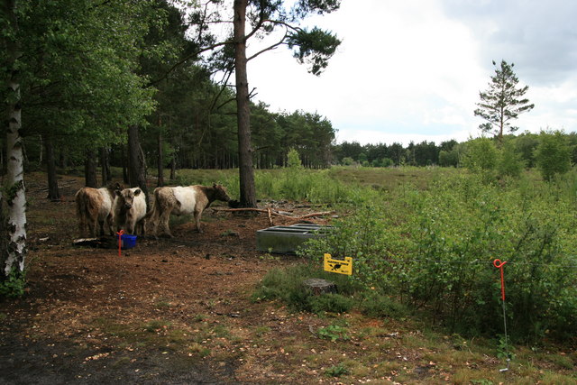
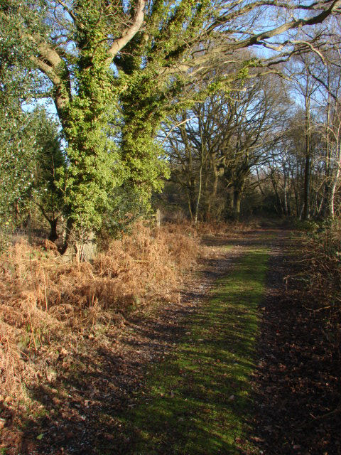
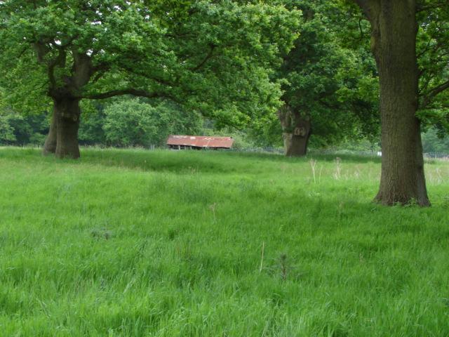
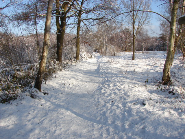
Colony Bog, located in Surrey, is a picturesque wetland area encompassing a diverse range of ecosystems, including a lake, pool, pond, and freshwater marsh. Covering a substantial area, the bog is a haven for numerous plant and animal species, making it an important natural habitat.

The lake within Colony Bog is a prominent feature, characterized by its calm and serene waters. It provides a home to various aquatic organisms, including fish, amphibians, and waterfowl. The lake's tranquil surroundings make it a popular spot for birdwatching enthusiasts who can observe the graceful flight of herons, ducks, and other water birds.

Adjacent to the lake, a pool can be found, which serves as a breeding ground for several species of amphibians, such as frogs and newts. It is a vital reproductive area, where these organisms lay their eggs and undergo metamorphosis.

The pond in Colony Bog is characterized by its shallow and still water, creating an ideal environment for a variety of water plants. It supports a diverse array of flora and fauna, including water lilies, dragonflies, and water beetles. The pond's tranquil ambiance attracts visitors who seek tranquility and a chance to observe the delicate balance of nature.

Finally, the freshwater marsh is a critical component of Colony Bog's ecosystem. This marshy area is characterized by its waterlogged soil and abundant vegetation, including cattails and reeds. It is an essential breeding and feeding ground for numerous bird species, providing them with nesting sites and an abundant food supply.

Overall, Colony Bog in Surrey offers a rich tapestry of aquatic habitats, supporting a wide range of plant and animal life. Its diverse ecosystems make it a valuable ecological treasure that deserves protection and preservation.

If you have any feedback on the listing, please let us know in the comments section below.
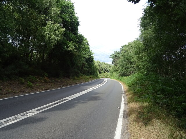
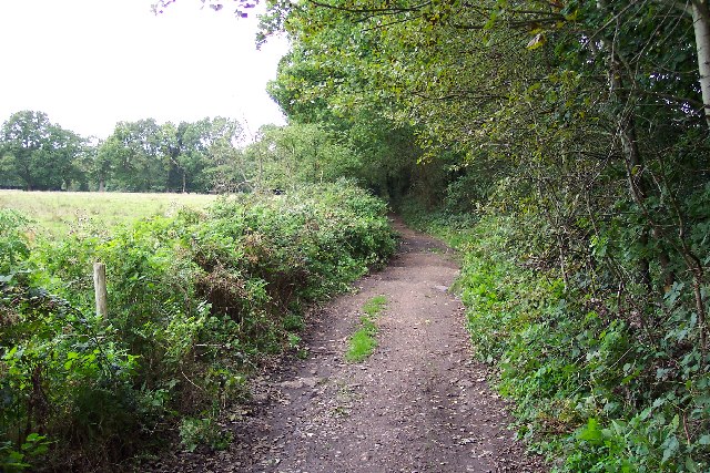
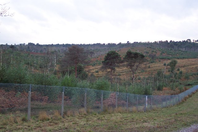
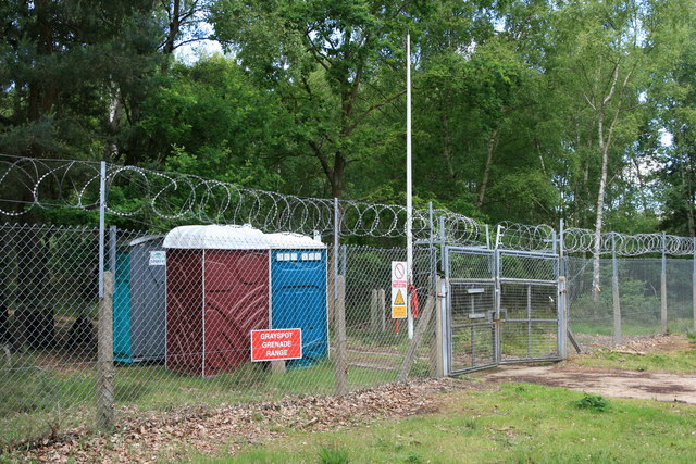
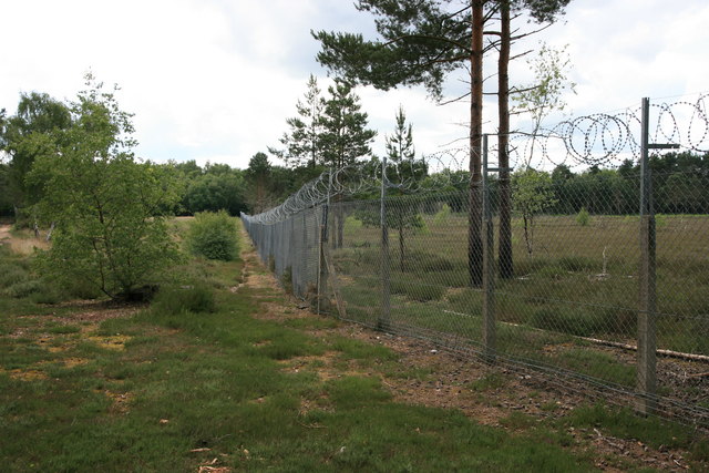
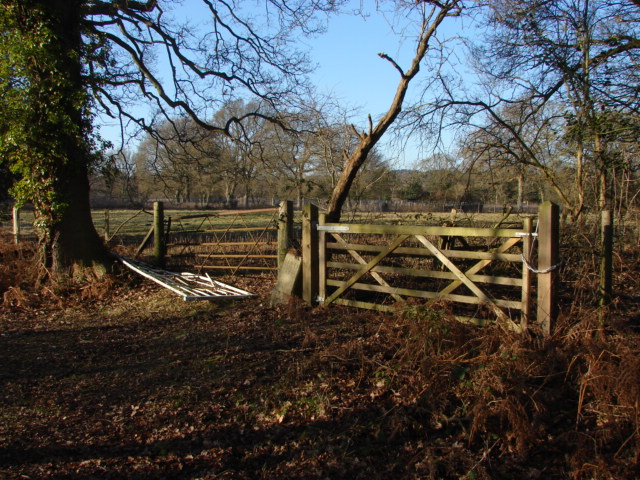
Colony Bog Images

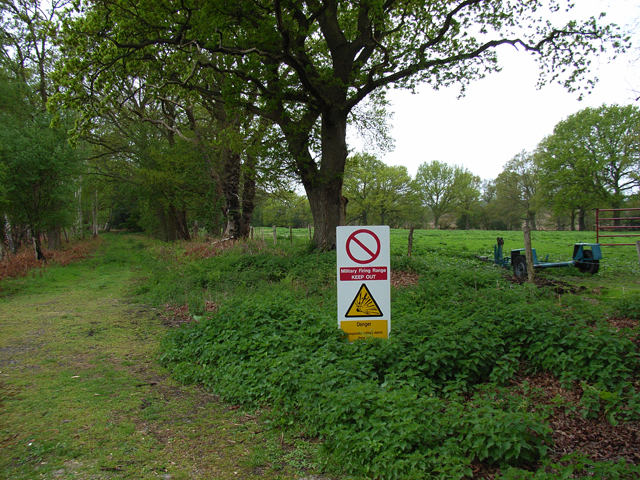
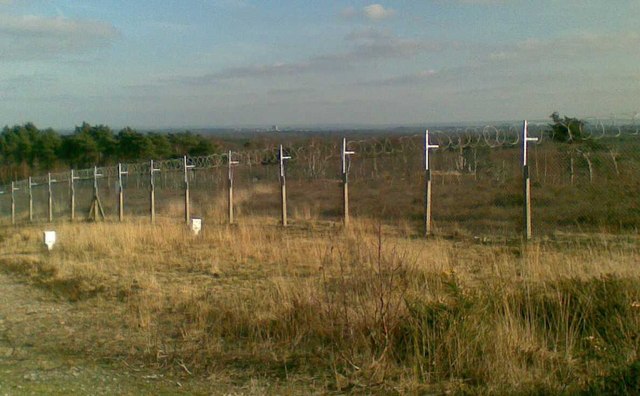
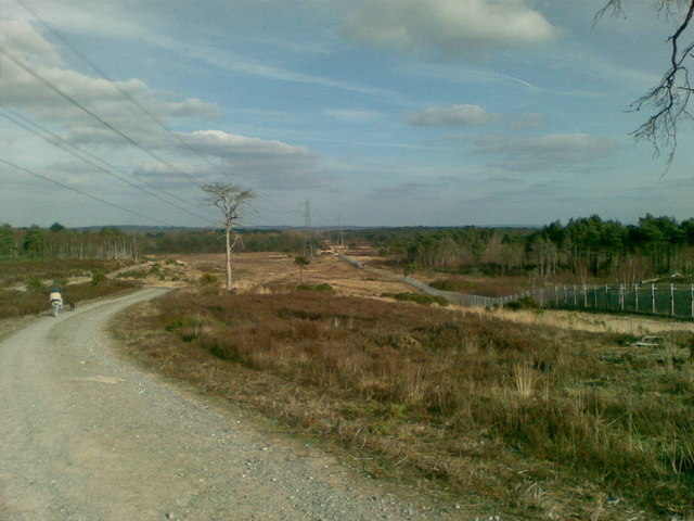
Images are sourced within 2km of 51.325252/-0.67687511 or Grid Reference SU9259. Thanks to Geograph Open Source API. All images are credited.

Westend Common South of Red Road.
Westend Common
South of Red Road.
Path onto Westend Common From Red Road.
Path onto Westend Common
From Red Road.
Red Road (B311) Towards Frimley.
Red Road (B311)
Towards Frimley.
Macdonald Road Off Red Road (B311).
Macdonald Road
Off Red Road (B311).
Red Road (B311)
Red Road (B311)
Priest Lane Priest Lane is, nowadays, a bridle path running along the edge of the army ranges and connecting Lucas Farm Road with the delightfully-named Donkeytown. Looking north.
Priest Lane
Priest Lane is, nowadays, a bridle path running along the edge of the army ranges and connecting Lucas Farm Road with the delightfully-named Donkeytown. Looking north.
Highland cattle on Folly Bog Folly Bog is an area that lies between the northern edge of the Pirbright Ranges danger area and Red Road. Although owned by the MOD it is cared for by the Surrey Wildlife Trust. As an experiment and in order to help the boggy conditions to revive, the Trust has brought in a herd of Highland cattle to keep the invasive scrub under control. So far, according to the rangers, the experiment seems to be working well, tender birch shoots seeming to be very much to the cattle's liking. The boggy conditions can be seen in the foreground (and around the photographer's feet!). Pity about the overhead power lines.
Highland cattle on Folly Bog
Folly Bog is an area that lies between the northern edge of the Pirbright Ranges danger area and Red Road. Although owned by the MOD it is cared for by the Surrey Wildlife Trust. As an experiment and in order to help the boggy conditions to revive, the Trust has brought in a herd of Highland cattle to keep the invasive scrub under control. So far, according to the rangers, the experiment seems to be working well, tender birch shoots seeming to be very much to the cattle's liking. The boggy conditions can be seen in the foreground (and around the photographer's feet!). Pity about the overhead power lines.
Looking over the ranges Looking across the northwest corner of the Pirbright Ranges danger area from the range perimeter track. Chobham Ridges are in the distance and mark the western boundary of the ranges. Looking SW.
Looking over the ranges
Looking across the northwest corner of the Pirbright Ranges danger area from the range perimeter track. Chobham Ridges are in the distance and mark the western boundary of the ranges. Looking SW.
Housing near Camberley This is the junction of Ravenstone Road and Inglewood Avenue. This is very near the ranges and so on exercise days could be noisy.
Housing near Camberley
This is the junction of Ravenstone Road and Inglewood Avenue. This is very near the ranges and so on exercise days could be noisy.
Pirbright Ranges Taken through the perimeter gate near Hagthorne Cottage. Access is just ordinarily possible this far.
Pirbright Ranges
Taken through the perimeter gate near Hagthorne Cottage. Access is just ordinarily possible this far.
Woking over the Ranges The photo is a view over the Chobham Ranges, (Surrey Heath), from the Northern perimeter fence. In the distance the can be seen the town of Woking.
Woking over the Ranges
The photo is a view over the Chobham Ranges, (Surrey Heath), from the Northern perimeter fence. In the distance the can be seen the town of Woking.
The edge of Surrey Heath The photo shows the Northern perimeter fence of the Chobham, (Bisley), ranges which are located on Surrey Heathland. To the left of the photo is Red Road, which marks a change in the soil structure from Heathland to Woodland. The road in the photo is the inspection road for the razor wire protected fence, which extends around the 'overshoot' for the ranges.
The edge of Surrey Heath
The photo shows the Northern perimeter fence of the Chobham, (Bisley), ranges which are located on Surrey Heathland. To the left of the photo is Red Road, which marks a change in the soil structure from Heathland to Woodland. The road in the photo is the inspection road for the razor wire protected fence, which extends around the 'overshoot' for the ranges.
Greyspot grenade range The entrance gate to Greyspot grenade range, well guarded with razor wire.
Greyspot grenade range
The entrance gate to Greyspot grenade range, well guarded with razor wire.
Fence at Greyspot Razor wire-topped fence at the eastern boundary of Greyspot grenade range.
Fence at Greyspot
Razor wire-topped fence at the eastern boundary of Greyspot grenade range.
Cattle on Brentmoor Heath Brentmoor Heath is managed by Surrey Wildlife Trust on behalf of owners Surrey Heath Borough Council and the Ministry of Defence. The cattle roam the area under a conservation grazing initiative for regenerating the heathland, and are kept within desired boundaries by electric fences.
Cattle on Brentmoor Heath
Brentmoor Heath is managed by Surrey Wildlife Trust on behalf of owners Surrey Heath Borough Council and the Ministry of Defence. The cattle roam the area under a conservation grazing initiative for regenerating the heathland, and are kept within desired boundaries by electric fences.
Hagthorn Meadows Most of these ancient meadows are inside the Pirbright Range Danger Area (the fence can be seen in the background). As there has been no human activity for many years they have become important reserves for wildlife. They are currently being managed by Surrey Wildlife Trust on behalf of the MOD. There is a strict no entry policy on the areas inside the fence.
Hagthorn Meadows
Most of these ancient meadows are inside the Pirbright Range Danger Area (the fence can be seen in the background). As there has been no human activity for many years they have become important reserves for wildlife. They are currently being managed by Surrey Wildlife Trust on behalf of the MOD. There is a strict no entry policy on the areas inside the fence.
Path towards range fence Path leading from the end of Brentmoor road to the Pirbright Range fence. A nice little path to nowhere!
Path towards range fence
Path leading from the end of Brentmoor road to the Pirbright Range fence. A nice little path to nowhere!
Hagthorne Meadows These abandoned meadows are inside the MOD Pirbright Range fence line and can only be accessed by special permission from the range safety office. They are managed by Surrey Wildlife Trust on behalf of the MOD. You really are entering a bygone era when you visit sites such as these with their proliferation of flora and fauna, kept safe from the ever encroaching tide of human activity.
Hagthorne Meadows
These abandoned meadows are inside the MOD Pirbright Range fence line and can only be accessed by special permission from the range safety office. They are managed by Surrey Wildlife Trust on behalf of the MOD. You really are entering a bygone era when you visit sites such as these with their proliferation of flora and fauna, kept safe from the ever encroaching tide of human activity.
Show me another place!

Colony Bog is located at Grid Ref: SU9259 (Lat: 51.325252, Lng: -0.67687511)

Administrative County: Surrey

District: Surrey Heath

Police Authority: Surrey

What 3 Words

///unscrew.intrigued.promising. Near Lightwater, Surrey

Related Wikis

The Wheatsheaf, Camberley

The Wheatsheaf is a grade II listed public house in Heatherside, Camberley, Surrey. It was designed by John and Sylvia Reid and opened in 1970. It has...

The Flashes

The Flashes is a 115.1-hectare (284-acre) Local Nature Reserve west of Godalming in Surrey. It is owned by the National Trust and managed by Waverley...

Bisley and West End Commons

Bisley and West End Commons is a 37.2-hectare (92-acre) Local Nature Reserve west of Woking in Surrey. It is part of the 46-hectare (110-acre) Bisley...

Bisley Camp railway station

Bisley Camp railway station served the National Rifle Association in Bisley, Surrey, England, from 1890 to 1952 on Bisley Camp branch line. == History... ==

National Shooting Centre

The National Shooting Centre is the UK's largest shooting sports complex, comprising several shooting ranges as well as the large "Bisley Camp" complex...

National Rifle Association (United Kingdom)

The National Rifle Association (NRA) is the governing body for full bore rifle and pistol shooting sports in the United Kingdom. The Association was founded...

Deepcut

Deepcut is a village in the borough of Surrey Heath in Surrey, England, approximately 28 mi (45 km) southwest of central London. The nearest towns are...

Brentmoor Heath

Brentmoor Heath is a 28.6-hectare (71-acre) Local Nature Reserve east of Camberley in Surrey. It is part of Brentmoor Heath and Folly Bog nature reserve...

Nearby Amenities

Located within 500m of 51.325252,-0.67687511
Colony Bog
Landuse: military
Natural: wetland
Source: npe
Wetland: bog
Lat/Long: 51.3241094/-0.6761697
Round Butt
Place: locality
Lat/Long: 51.3261057/-0.6780645
The data included in this document is from www.openstreetmap.org. The data is made available under ODbL.

Have you been to Colony Bog?

Leave your review of Colony Bog below (or comments, questions and feedback).