Whitton Ness
Coastal Marsh, Saltings in Lincolnshire
England
Whitton Ness
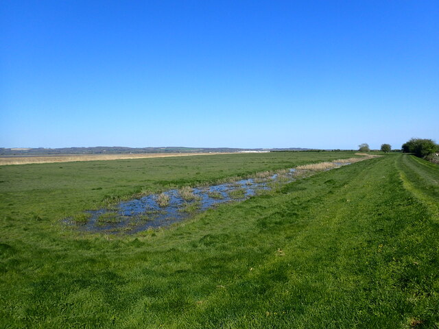
Whitton Ness is a coastal marsh and saltings area located in Lincolnshire, England. Situated on the eastern coast, it spans approximately 5 kilometers and is a significant natural habitat within the region. The site is renowned for its ecological diversity and is protected as a Site of Special Scientific Interest (SSSI) and a Local Nature Reserve.
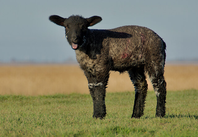
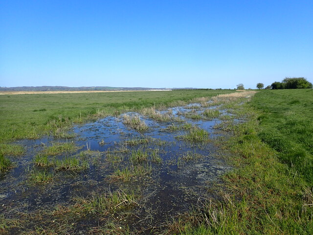
The terrain of Whitton Ness consists of a mixture of saltmarsh, mudflats, and tidal creeks, which are influenced by the changing tides of the North Sea. The marshes provide a crucial habitat for a wide range of plant and animal species, including numerous wading birds, such as redshanks, lapwings, and avocets. The area is also home to various waterfowl species, including teal and wigeon.
The saltings at Whitton Ness are characterized by their salt-tolerant vegetation, including samphire and sea aster. These plants play a vital role in stabilizing the marshes and providing food and shelter for a variety of invertebrates.
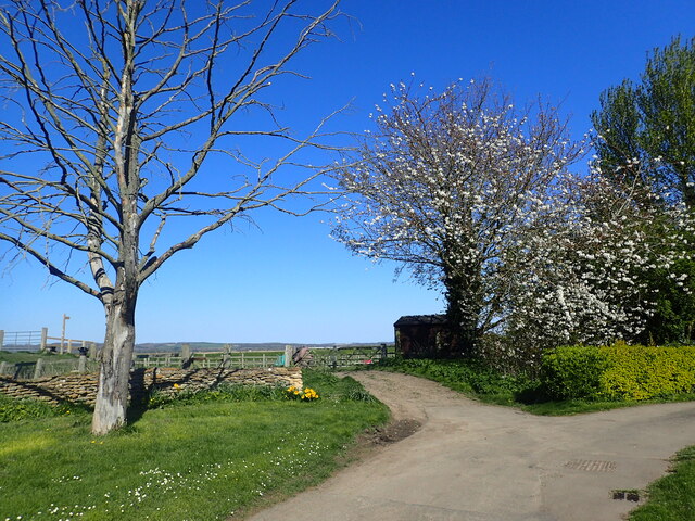
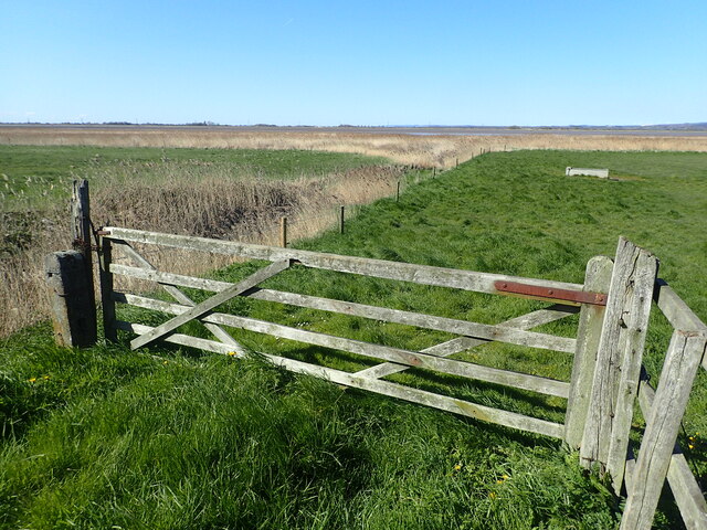
Visitors to Whitton Ness can enjoy a peaceful and scenic environment, with panoramic views of the North Sea and the surrounding coastline. The site offers excellent opportunities for birdwatching, as well as exploring the unique flora and fauna of the area.
In addition to its natural significance, Whitton Ness holds historical importance, with archaeological remains indicating human habitation in the area dating back to the Bronze Age. The site is managed by local conservation organizations, ensuring the preservation of its natural and cultural heritage for future generations.
If you have any feedback on the listing, please let us know in the comments section below.
Whitton Ness Images
Images are sourced within 2km of 53.714305/-0.60956285 or Grid Reference SE9125. Thanks to Geograph Open Source API. All images are credited.


Whitton Ness is located at Grid Ref: SE9125 (Lat: 53.714305, Lng: -0.60956285)
Unitary Authority: North Lincolnshire
Police Authority: Humberside
What 3 Words
///deny.starlight.general. Near Whitton, Lincolnshire
Nearby Locations
Related Wikis

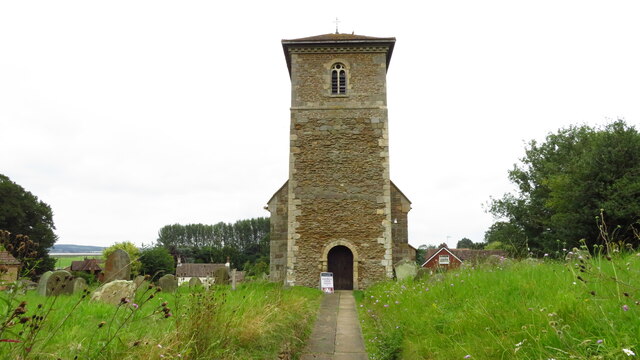
Whitton, Lincolnshire
Whitton is a village and civil parish in North Lincolnshire, England. The 2011 census found 212 inhabitants, in 92 households. It is situated at the northern...

Whitton railway station (Lincolnshire)
Whitton railway station was a railway station, built by the North Lindsey Light Railway in Whitton, Lincolnshire. It was the northern terminus of the line...

Brough railway station
Brough railway station serves the town of Brough in the East Riding of Yorkshire, England. It is managed by TransPennine Express, and also served by Northern...
Winteringham Haven railway station
Winteringham Haven railway station was a port facility on the south bank of the Humber Estuary, Lincolnshire, England. It was constructed by the North...
Petuaria
Petuaria (or Petuaria Parisorum) was originally a Roman fort situated where the town of Brough in the East Riding of Yorkshire now stands. Petuaria means...

Brough, East Riding of Yorkshire
Brough ( BRUF, locally ) is a town in the East Riding of Yorkshire, England. It is part of the civil parish of Elloughton-cum-Brough with the neighbouring...

Brough Aerodrome
Brough Aerodrome (ICAO: EGNB) was a private use aerodrome located at Brough, East Riding of Yorkshire, England. It is now disused with the last known...
Winteringham railway station
Winteringham railway station was built by the North Lindsey Light Railway in Winteringham, Lincolnshire, England and opened for public service on 15 July...
Nearby Amenities
Located within 500m of 53.714305,-0.60956285Have you been to Whitton Ness?
Leave your review of Whitton Ness below (or comments, questions and feedback).