Milland Marsh

Coastal Marsh, Saltings in Sussex Chichester

England

Milland Marsh

Entrance to Milland Place
Entrance to Milland Place Credit: Basher Eyre

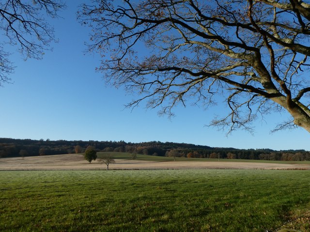
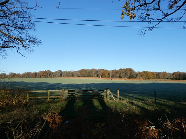
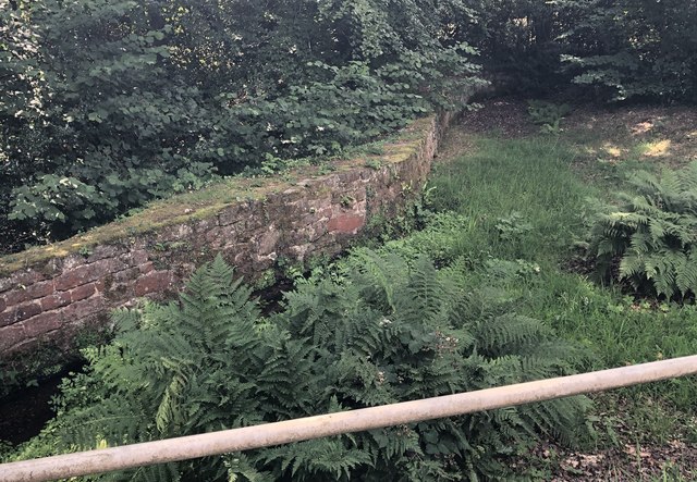
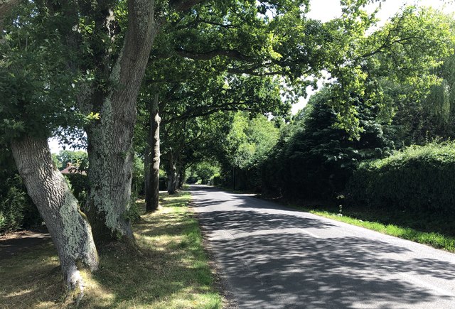
Milland Marsh is a coastal marsh and saltings located in Sussex, England. It is situated near the village of Milland, which is part of the South Downs National Park. Covering an area of approximately 200 acres, Milland Marsh is a diverse and ecologically important landscape.

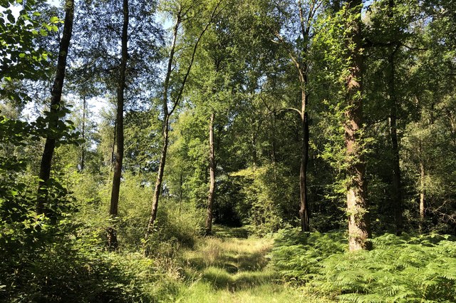
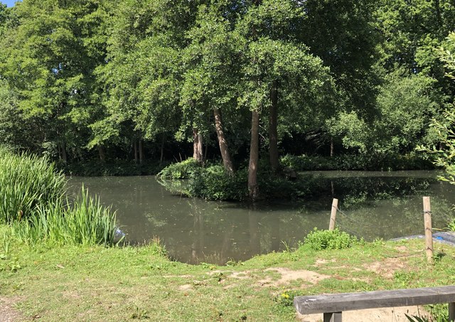
The marsh is characterized by its low-lying, flat terrain, which is inundated by tidal waters from the English Channel. It is a mix of salt marsh, mud flats, and salt pans, creating a unique habitat that supports a wide variety of plant and animal species. The marsh is known for its rich biodiversity, with numerous bird species, including wading birds, waterfowl, and migratory birds, making it their home or using it as a stopover during their migrations.

The vegetation in Milland Marsh is adapted to the harsh coastal conditions, with salt-tolerant plants such as samphire, sea lavender, and sea purslane thriving in the salt marsh areas. These plants help stabilize the sediment and provide food and shelter for the diverse range of invertebrates and bird species.

Milland Marsh is also an important site for conservation and research. It is designated as a Site of Special Scientific Interest (SSSI) due to its ecological value and is managed by local conservation organizations. The marsh is regularly monitored to ensure the preservation of its unique habitats and species.

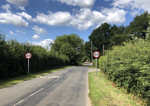
In addition to its ecological significance, Milland Marsh is a popular destination for nature enthusiasts and birdwatchers. There are walking trails and observation points that allow visitors to explore and appreciate the natural beauty of this coastal marshland.

If you have any feedback on the listing, please let us know in the comments section below.

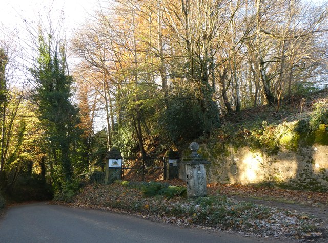
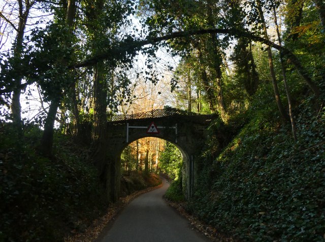
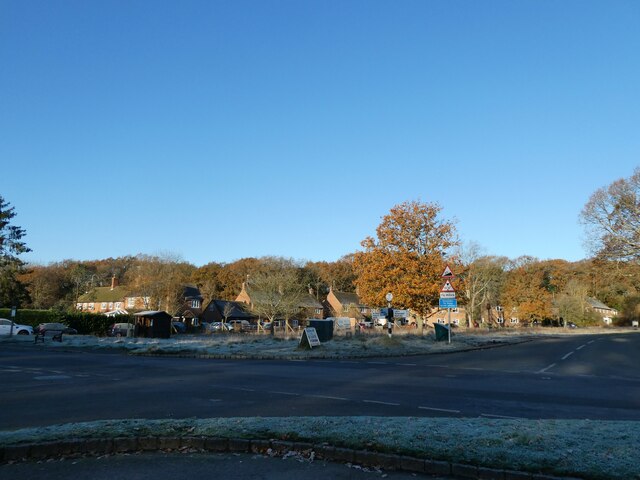
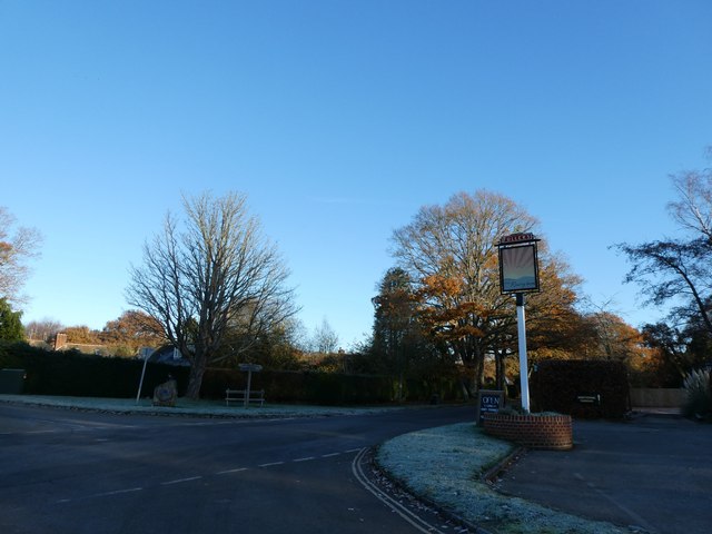
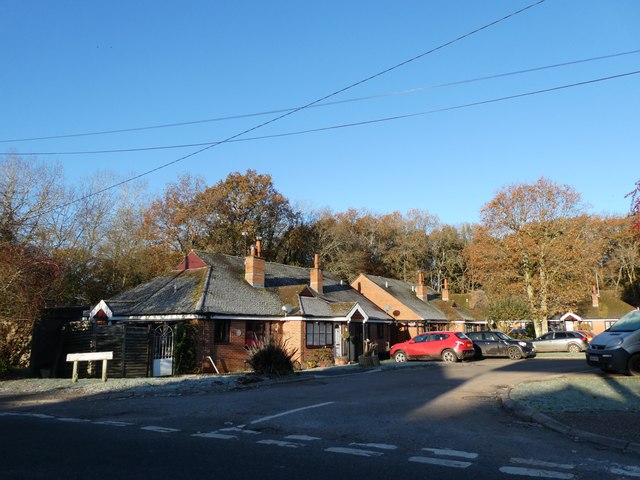
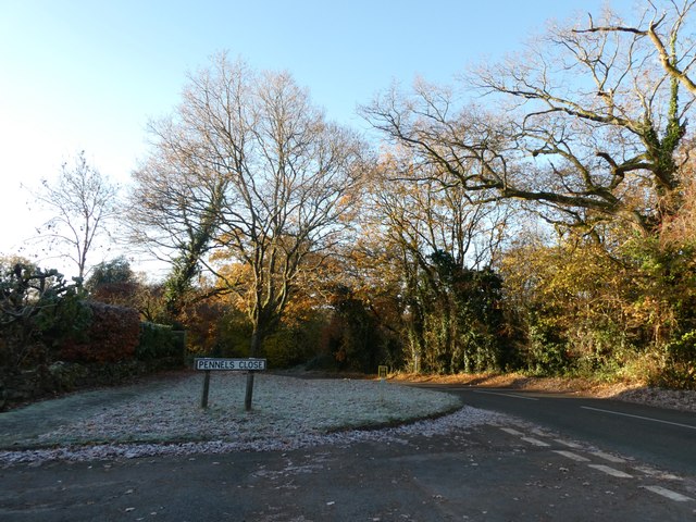
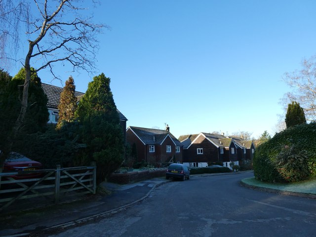
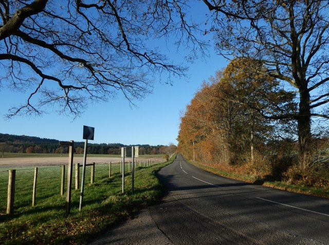
Milland Marsh Images

Images are sourced within 2km of 51.03529/-0.80195754 or Grid Reference SU8426. Thanks to Geograph Open Source API. All images are credited.

Entrance to Milland Place
Road bridge at Milland Place
Milland: the first frost of this winter (a) Looking from the Rising Sun car park
Milland: the first frost of this winter (a)
Looking from the Rising Sun car park
Milland: the first frost of this winter (b) Milland: the first frost of this winter
Milland: the first frost of this winter (b)
Milland: the first frost of this winter
Milland: the first frost of this winter (c) Strettons Copse
Milland: the first frost of this winter (c)
Strettons Copse
Milland: the first frost of this winter (d) Junction of Iping Road and Pennels Close
Milland: the first frost of this winter (d)
Junction of Iping Road and Pennels Close
Milland: the first frost of this winter (e) Pennels Close
Milland: the first frost of this winter (e)
Pennels Close
Road from New Barn Farm to Combe Lodge Farm
Looking from New Barn Farm towards The Combe
Looking from Milland Road towards Lower Common Wood
Main road style pub in the middle of nowhere There's a story here. This ultra quiet road in Milland was going to be part of the proposed Petersfield by-pass; and the brewers put it up in anticipation of a roaring passing trade. However, the by-pass was re-routed to go the other side of Peef: doh!
Main road style pub in the middle of nowhere
There's a story here. This ultra quiet road in Milland was going to be part of the proposed Petersfield by-pass; and the brewers put it up in anticipation of a roaring passing trade. However, the by-pass was re-routed to go the other side of Peef: doh!
Looking north-east in Fernhurst Road
Northend Copse On public footpath number 1271 passing through Northend Copse.
Northend Copse
On public footpath number 1271 passing through Northend Copse.
Approaching Milland Further beyond the speed limit signs the village of Milland starts.
Approaching Milland
Further beyond the speed limit signs the village of Milland starts.
Durrants Pond Considered to be the Village Pond of Milland. For more details see the information sign <a href="https://www.geograph.org.uk/photo/6544287">SU8427 : Information Sign</a>
Durrants Pond
Considered to be the Village Pond of Milland. For more details see the information sign SU8427 : Information Sign
Information Sign A close look at the information sign at Durrants Pond. On the reverse there is information about the Sheep Wash on the other side of the road.
Information Sign
A close look at the information sign at Durrants Pond. On the reverse there is information about the Sheep Wash on the other side of the road.
Sheep Wash Part of the former Sheep Wash near to Durrants Pond.
Sheep Wash
Part of the former Sheep Wash near to Durrants Pond.
Fernhurst Road Fernhurst Road near to the crossroads in Milland.
Fernhurst Road
Fernhurst Road near to the crossroads in Milland.
Show me another place!

Milland Marsh is located at Grid Ref: SU8426 (Lat: 51.03529, Lng: -0.80195754)

Administrative County: West Sussex

District: Chichester

Police Authority: Sussex

What 3 Words

///volume.mess.specifies. Near Liphook, Hampshire

Related Wikis

Milland

Milland is a village and civil parish in the Chichester district of West Sussex, England. It is situated north of the A272 road on the border with Hampshire...

Titty Hill

Titty Hill is a hamlet in the civil parish of Milland in the Chichester district of West Sussex, England. It is close to a Roman way station or mansio...

Tuxlith Chapel

Tuxlith Chapel, also known as Milland Old Church, is a redundant Anglican church in the village of Milland, West Sussex, England (grid reference SU 825...

Linch

Linch is an Anglican parish, and a loose collection of hamlets that make up the civil parish of the same name in the Chichester District of West Sussex...

Nearby Amenities

Located within 500m of 51.03529,-0.80195754
Milland
Place: village
Lat/Long: 51.0360946/-0.8061807
Bus Stop
The Rising Sun
Bus: yes
Naptan AtcoCode: 4400MO0106
Naptan Bearing: SW
Naptan CommonName: Rising Sun
Naptan Indicator: o/s pub
Naptan Landmark: The Rising Sun P.H.
Naptan NaptanCode: wsxdgwga
Naptan Street: Fernhurst Road
Naptan Verified: no
Public Transport: platform
Source: naptan_import
Lat/Long: 51.036158/-0.8056179
Bus Stop
The Rising Sun
Bus: yes
Naptan AtcoCode: 4400MO0107
Naptan Bearing: NE
Naptan BusStopType: CUS
Naptan CommonName: Rising Sun
Naptan Indicator: opp pub
Naptan Landmark: Milland Common
Naptan NaptanCode: wsxdgwgd
Naptan Street: Rake Road
Naptan Verified: no
Public Transport: platform
Shelter: yes
Source: naptan_import
Lat/Long: 51.0359047/-0.8063518
Bus Stop
Rake Road
Bus: yes
Naptan AtcoCode: 4400MO0333
Naptan Bearing: NE
Naptan BusStopType: CUS
Naptan CommonName: Rake Road
Naptan Indicator: opp Fernhurst Road
Naptan Landmark: Fernhurst Road
Naptan NaptanCode: wsxdjmtw
Naptan Street: Rake Road
Naptan Verified: no
Public Transport: platform
Source: naptan_import
Lat/Long: 51.0391952/-0.8009896
Bus Stop
Rake Road
Bus: yes
Naptan AtcoCode: 4400MO0334
Naptan Bearing: SW
Naptan BusStopType: CUS
Naptan CommonName: Rake Road
Naptan Indicator: adj Fernhurst Road
Naptan Landmark: Fernhurst Road
Naptan NaptanCode: wsxdjmwa
Naptan Street: Rake Road
Naptan Verified: no
Public Transport: platform
Source: naptan_import
Lat/Long: 51.0391466/-0.8006343
Entrance: yes
Lat/Long: 51.0354792/-0.8049385
Post Box
Brand: Royal Mail
Brand Wikidata: Q638098
Collection Plate: CP7
Collection Times: Mo-Fr 16:15; Sa 09:30
Last Checked: 2021-02-06
Operator: Royal Mail
Operator Wikidata: Q638098
Post Box Type: lamp
Ref: GU30 16
Royal Cypher: EIIR
Royal Cypher Wikidata: Q33102113
Source: survey
Lat/Long: 51.0366579/-0.8066712
Turning Circle
Lat/Long: 51.039119/-0.7982329
Defibrillator
Booth: K6
Covered: booth
Defibrillator Location: Inside old red telephone box.
Disused Amenity: telephone
Emergency: defibrillator
Indoor: yes
Man Made: telephone_box
Lat/Long: 51.0357119/-0.8056381
Access: private
Entrance: yes
Lat/Long: 51.035907/-0.8068584
Entrance: main
Lat/Long: 51.0371031/-0.80665
Entrance: yes
Lat/Long: 51.0372679/-0.8048707
The data included in this document is from www.openstreetmap.org. The data is made available under ODbL.

Have you been to Milland Marsh?

Leave your review of Milland Marsh below (or comments, questions and feedback).