Duckard Point
Coastal Marsh, Saltings in Hampshire Havant
England
Duckard Point
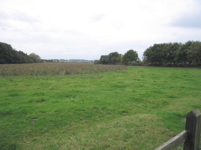
Duckard Point is a picturesque coastal marsh and saltings located in Hampshire, England. Situated along the southern coast of the country, this natural reserve offers stunning views of the surrounding landscape and is home to a diverse range of flora and fauna.
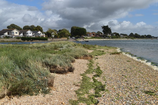
The marshland at Duckard Point is characterized by its vast expanse of lush greenery and the presence of numerous tidal channels and pools. These channels are influenced by the ebb and flow of the nearby sea, creating a unique and dynamic ecosystem. The marshes are predominantly covered in salt-tolerant grasses and reeds, providing a habitat for a variety of bird species, including wading birds, ducks, and geese.
The saltings, a distinct feature of Duckard Point, consist of areas of land that are regularly flooded by seawater during high tides. This saline environment supports a rich diversity of plant life, including samphire and sea lavender, which thrive in the saltwater conditions. The saltings also attract a range of bird species, such as avocets and redshanks, which feed on the abundant invertebrates found in the mudflats.
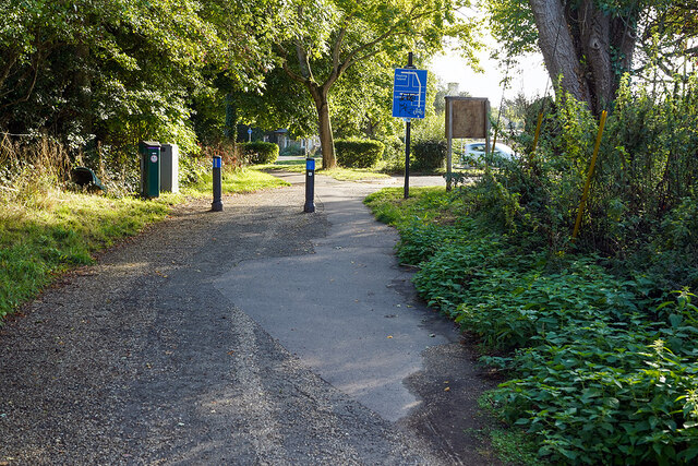
Visitors to Duckard Point can explore the marshland and saltings through a network of footpaths and observation points. These provide opportunities for birdwatching and wildlife photography, allowing visitors to observe the unique ecosystem up close. The reserve is managed by a local conservation trust, ensuring the protection and preservation of this important natural habitat.
Overall, Duckard Point in Hampshire offers a tranquil and scenic coastal experience, where visitors can immerse themselves in the beauty and biodiversity of this remarkable marshland and saltings.
If you have any feedback on the listing, please let us know in the comments section below.
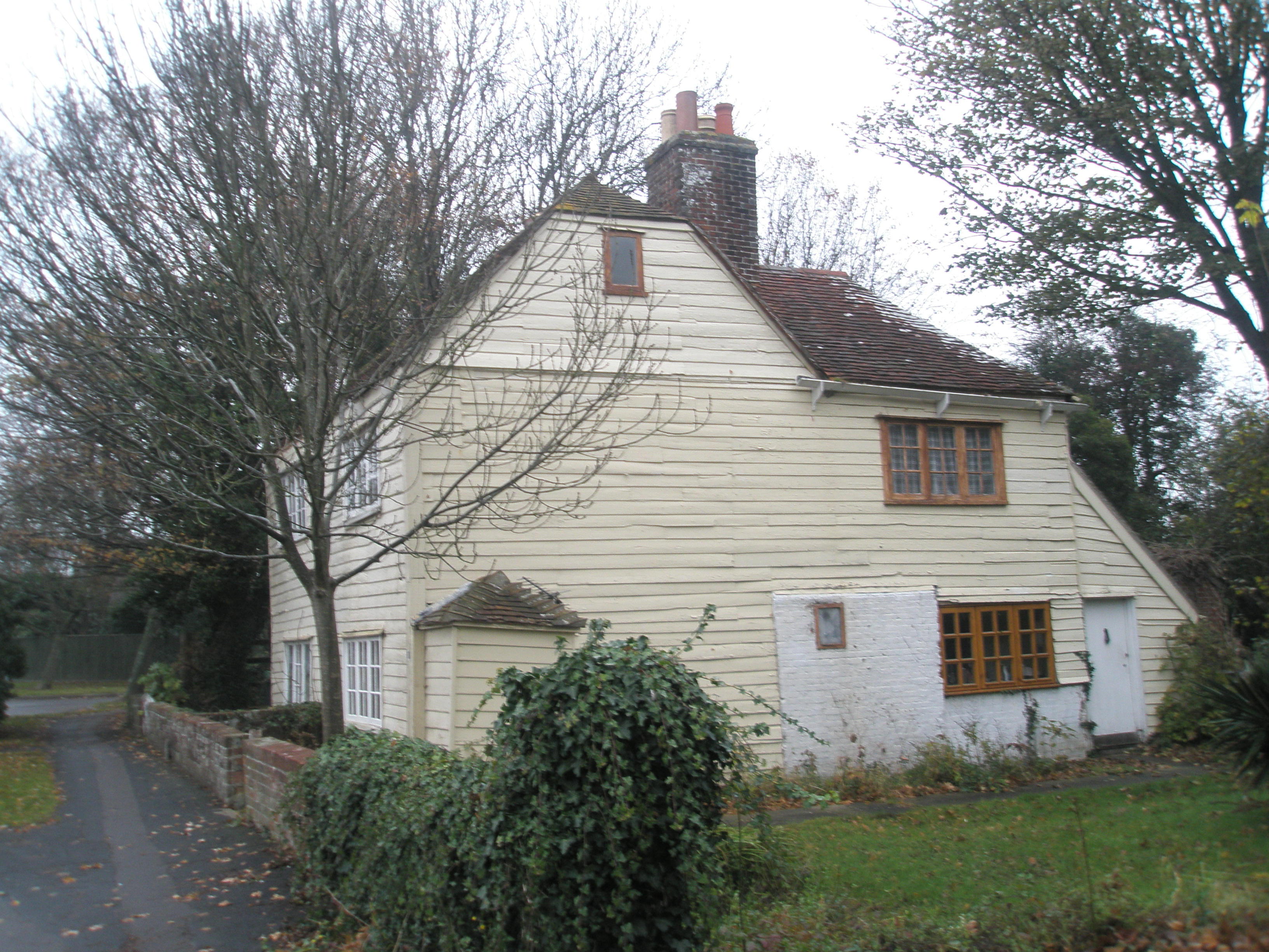
Duckard Point Images
Images are sourced within 2km of 50.834956/-0.96833127 or Grid Reference SU7204. Thanks to Geograph Open Source API. All images are credited.


Duckard Point is located at Grid Ref: SU7204 (Lat: 50.834956, Lng: -0.96833127)
Administrative County: Hampshire
District: Havant
Police Authority: Hampshire
What 3 Words
///sheets.tracks.easy. Near Emsworth, Hampshire
Nearby Locations
Related Wikis
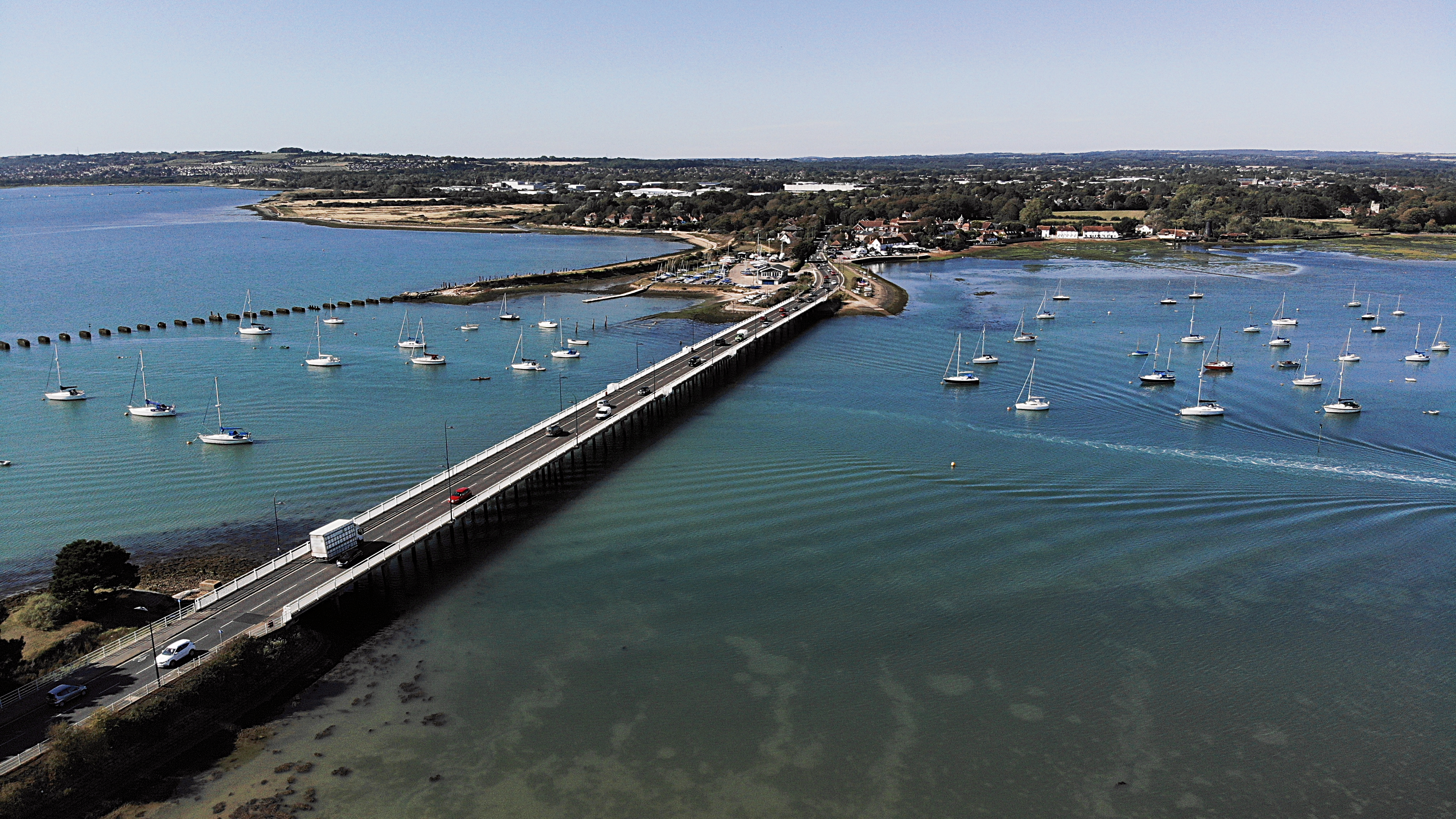
Langstone Bridge
Langstone Bridge (also known as Hayling Bridge) connects Hayling Island with the English mainland of Hampshire. The name of the bridge is derived from...
Northney
Northney is a village on north Hayling island in the borough of Havant in the county of Hampshire, England. It is on the north coast of the island, east...
Warblington Meadow
Warblington Meadow is a 3.9-hectare (9.6-acre) biological Site of Special Scientific Interest west of Emsworth in Hampshire.This site has areas of fresh...
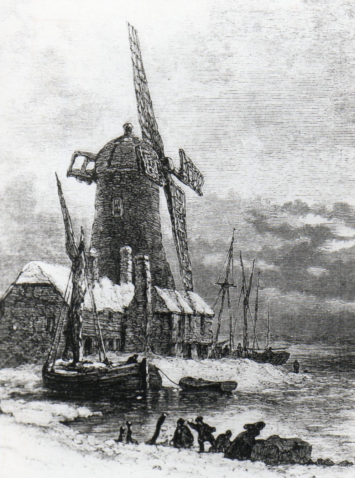
Langstone Windmill
Langstone Windmill is a Grade II listed tower mill at Langstone, Hampshire in England. It has been converted to residential accommodation. == History... ==
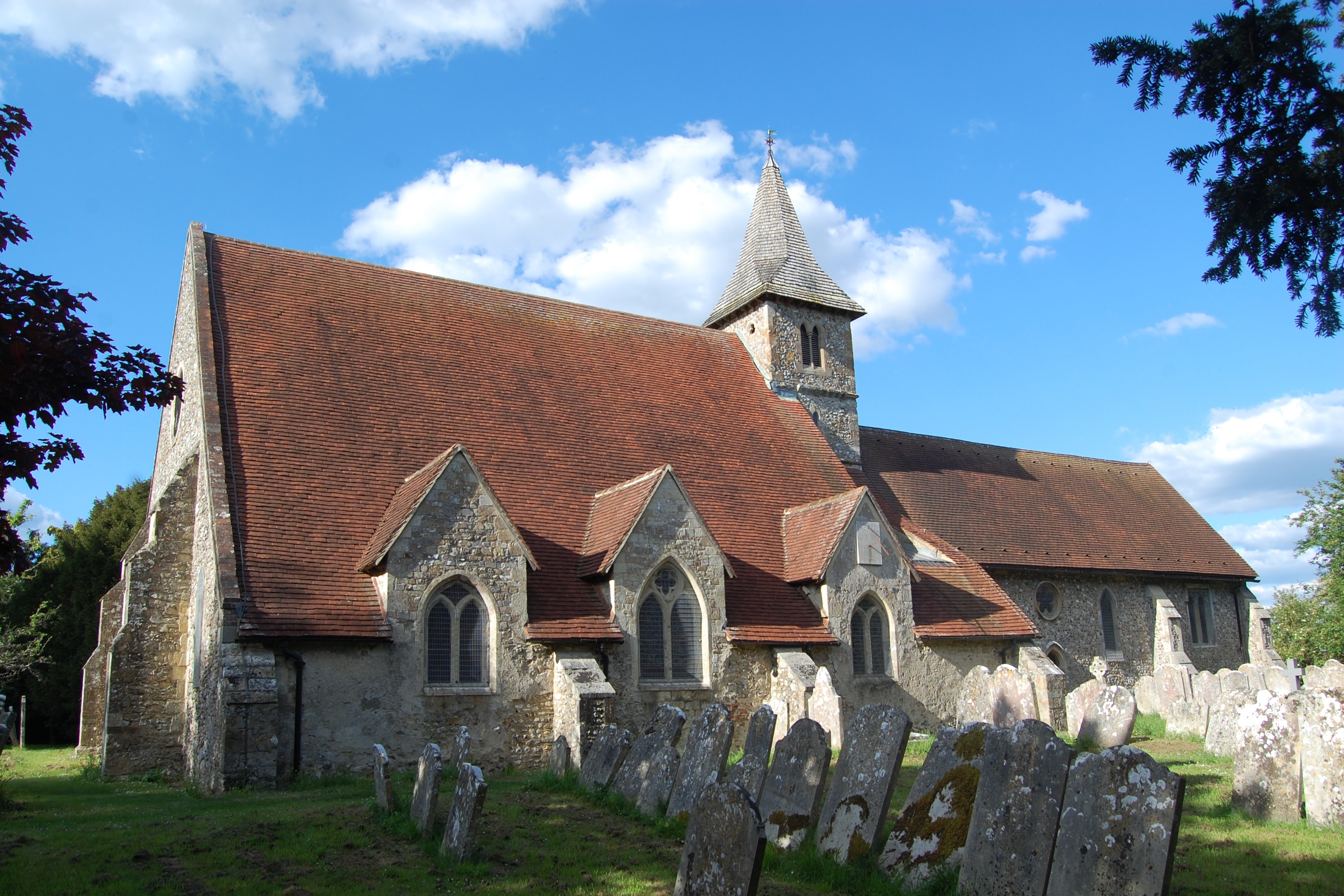
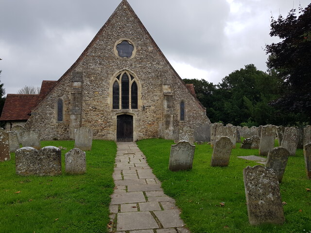
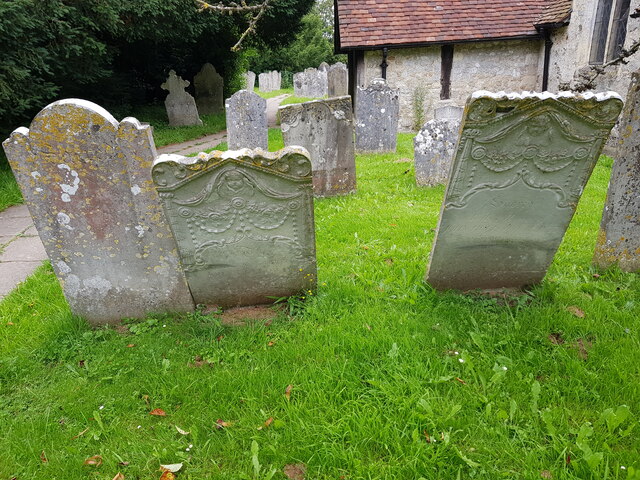
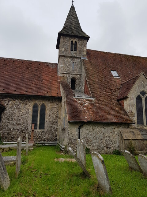
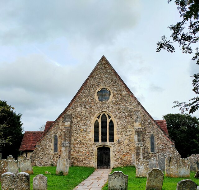
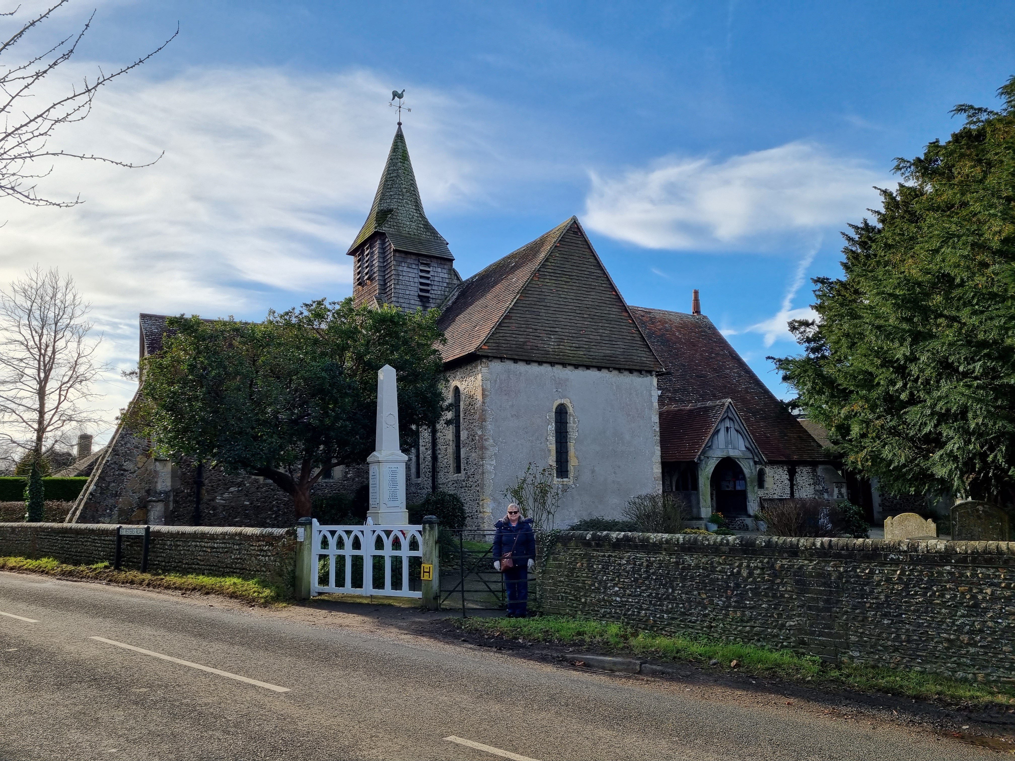
St Thomas à Becket Church, Warblington
St Thomas à Becket Church, sometimes referred to as St Thomas of Canterbury's Church and known until 1796 as the Church of Our Lady, is the Church of England...
Langstone, Hampshire
Langstone is a village near Havant, Hampshire in the south east of England in Portsmouth. It has good railway connections to London, Southampton, Portsmouth...
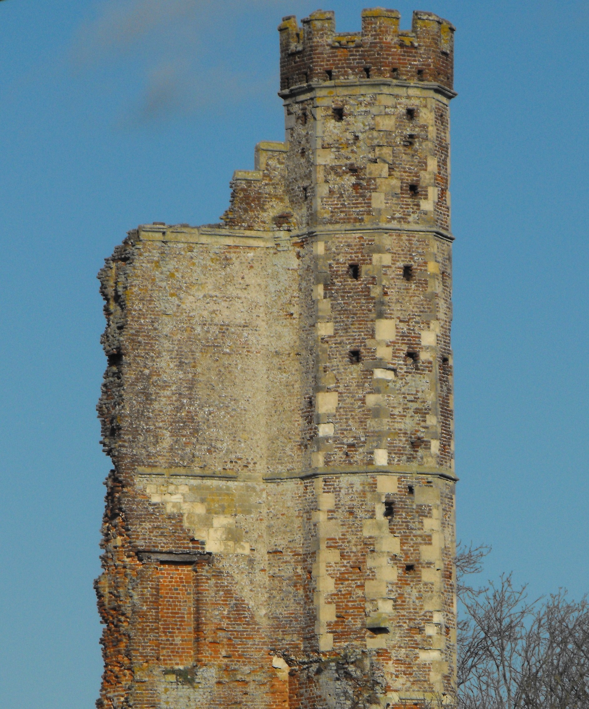
Warblington Castle
Warblington Castle or Warblington manor was a moated manor near Langstone in Havant parish, Hampshire. Most of the castle was destroyed during the English...
Langston railway station
Langston was a small station on the Hayling Island branch. The station along with the rest of the line closed in 1963, and it served the Langstone area...
Nearby Amenities
Located within 500m of 50.834956,-0.96833127Have you been to Duckard Point?
Leave your review of Duckard Point below (or comments, questions and feedback).