Langstone
Settlement in Hampshire Havant
England
Langstone
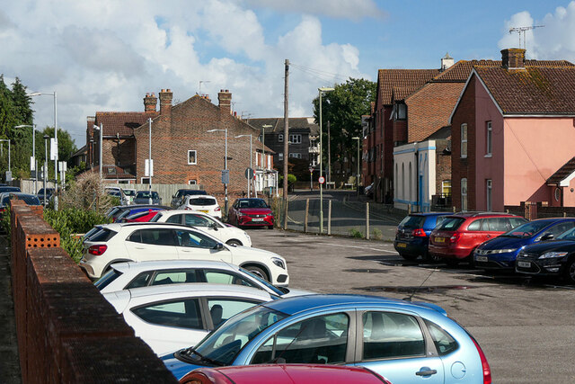
Langstone is a small village located in the county of Hampshire, England. Situated on the eastern side of Portsea Island, it lies just to the north of the city of Portsmouth. The village is nestled between Langstone Harbour to the east and Milton Common to the west, offering stunning views of both natural landscapes.
Langstone has a rich maritime history, with its origins dating back to Roman times. It was an important trading port during the medieval period, and evidence of its past can still be seen in the form of historic buildings, such as the Langstone Mill, which dates back to the 18th century.
Today, Langstone is a popular destination for nature enthusiasts and those seeking a tranquil retreat. The village is surrounded by natural beauty, including the Langstone Harbour Nature Reserve, which is home to a diverse range of bird species and other wildlife. The reserve offers walking trails and birdwatching opportunities, attracting visitors throughout the year.
Despite its small size, Langstone offers a range of amenities for its residents and visitors. The village has a charming pub overlooking the harbour, which serves delicious meals and refreshing drinks. There are also a few local shops and businesses catering to the needs of the community.
With its picturesque location and rich history, Langstone is a hidden gem in Hampshire, providing an escape from the bustling city life while offering a unique blend of natural beauty and cultural heritage.
If you have any feedback on the listing, please let us know in the comments section below.
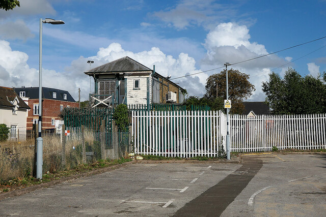
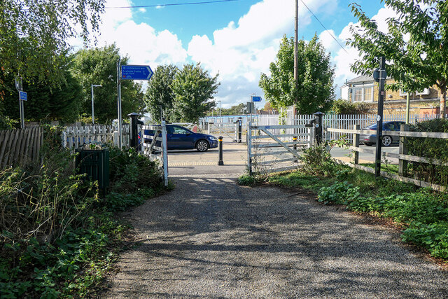
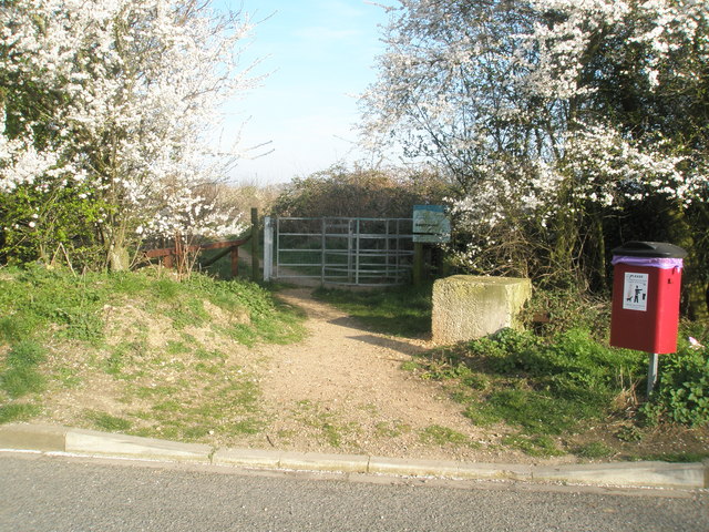
Langstone Images
Images are sourced within 2km of 50.838643/-0.978844 or Grid Reference SU7204. Thanks to Geograph Open Source API. All images are credited.


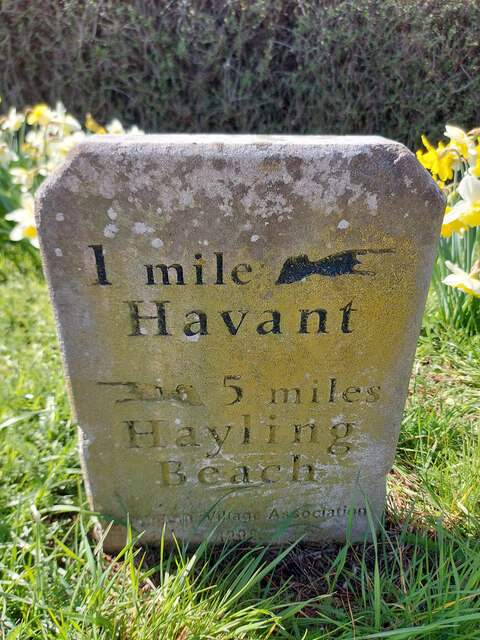

Langstone is located at Grid Ref: SU7204 (Lat: 50.838643, Lng: -0.978844)
Administrative County: Hampshire
District: Havant
Police Authority: Hampshire
What 3 Words
///solid.beard.poker. Near Havant, Hampshire
Nearby Locations
Related Wikis
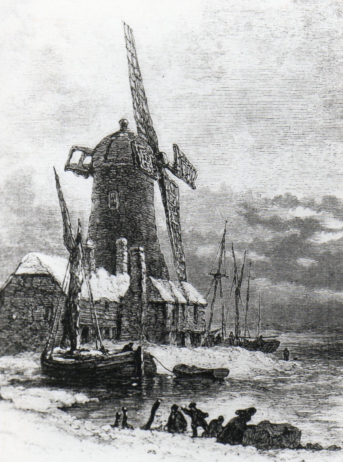
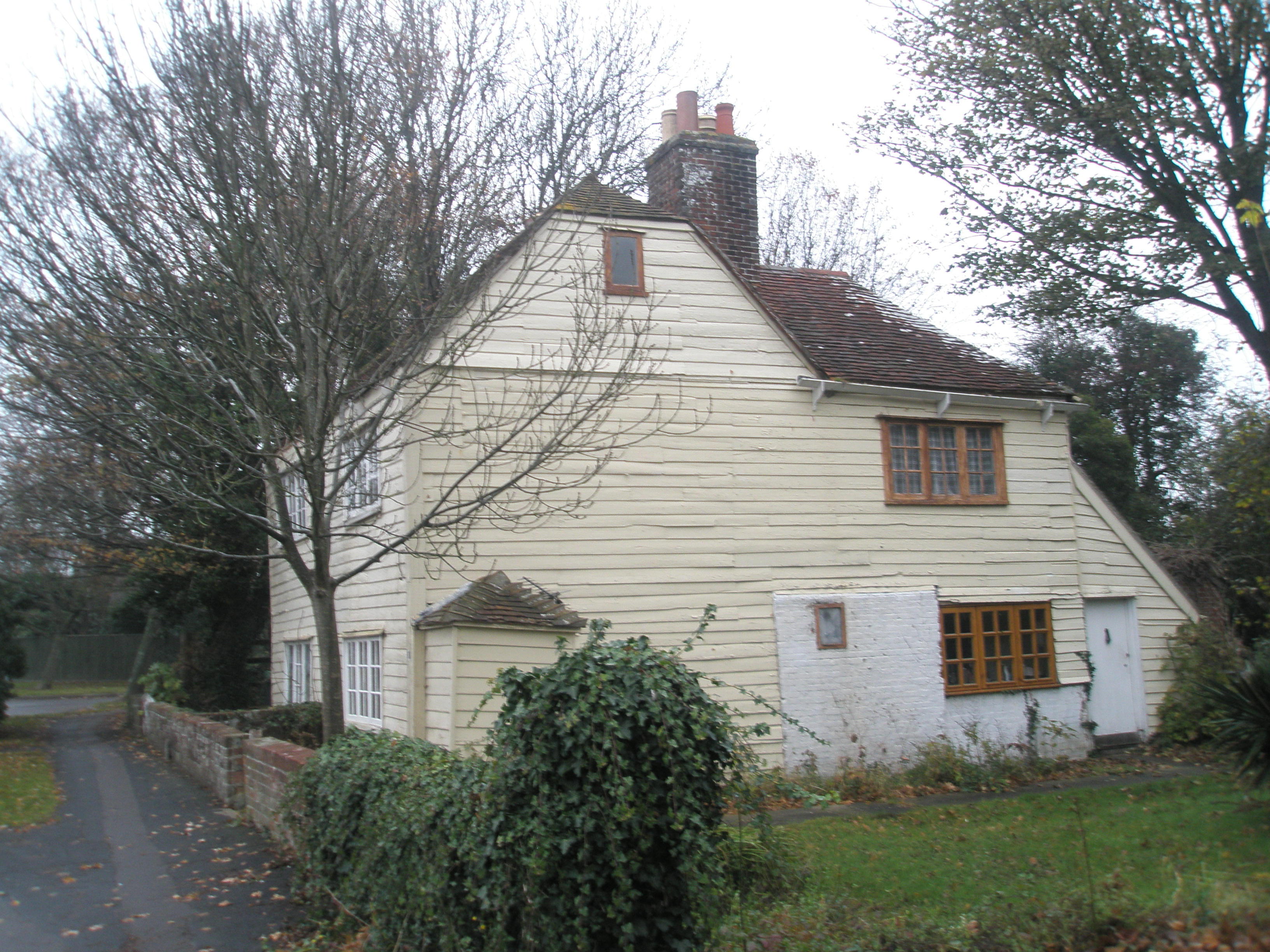
Langstone Windmill
Langstone Windmill is a Grade II listed tower mill at Langstone, Hampshire in England. It has been converted to residential accommodation. == History... ==
Langstone, Hampshire
Langstone is a village near Havant, Hampshire in the south east of England in Portsmouth. It has good railway connections to London, Southampton, Portsmouth...
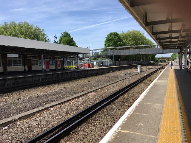
Langston railway station
Langston was a small station on the Hayling Island branch. The station along with the rest of the line closed in 1963, and it served the Langstone area...
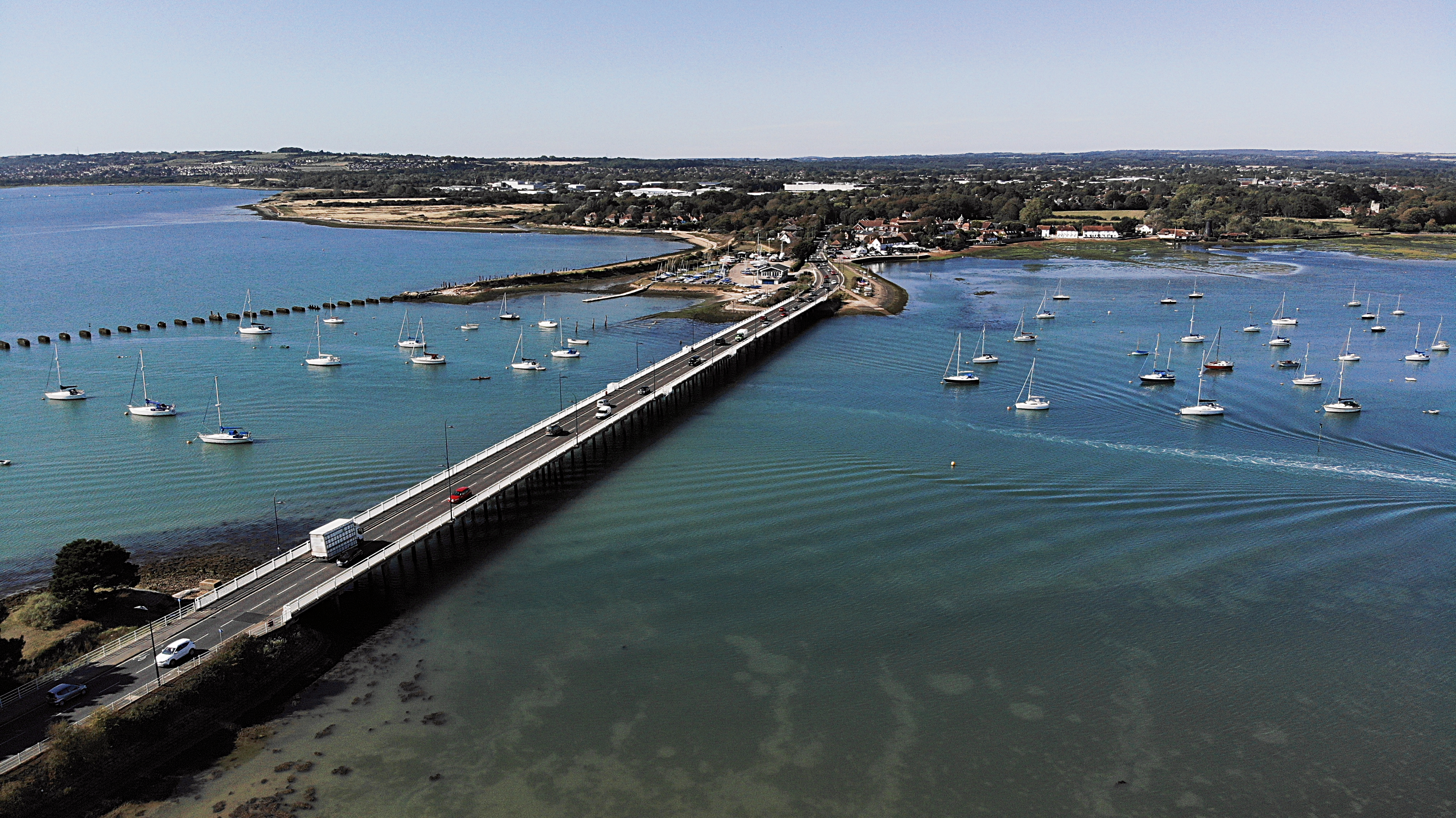
Langstone Bridge
Langstone Bridge (also known as Hayling Bridge) connects Hayling Island with the English mainland of Hampshire. The name of the bridge is derived from...
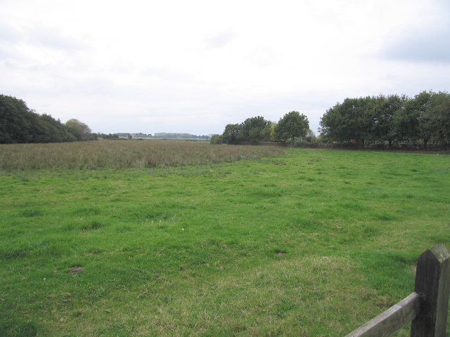
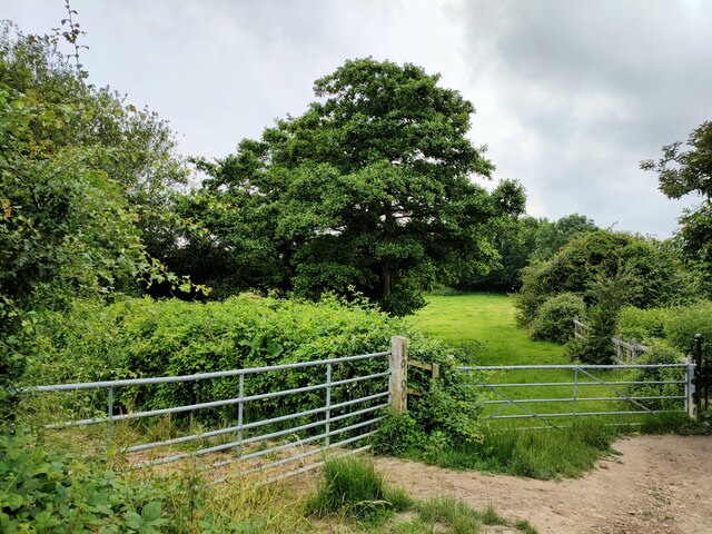
Warblington Meadow
Warblington Meadow is a 3.9-hectare (9.6-acre) biological Site of Special Scientific Interest west of Emsworth in Hampshire.This site has areas of fresh...
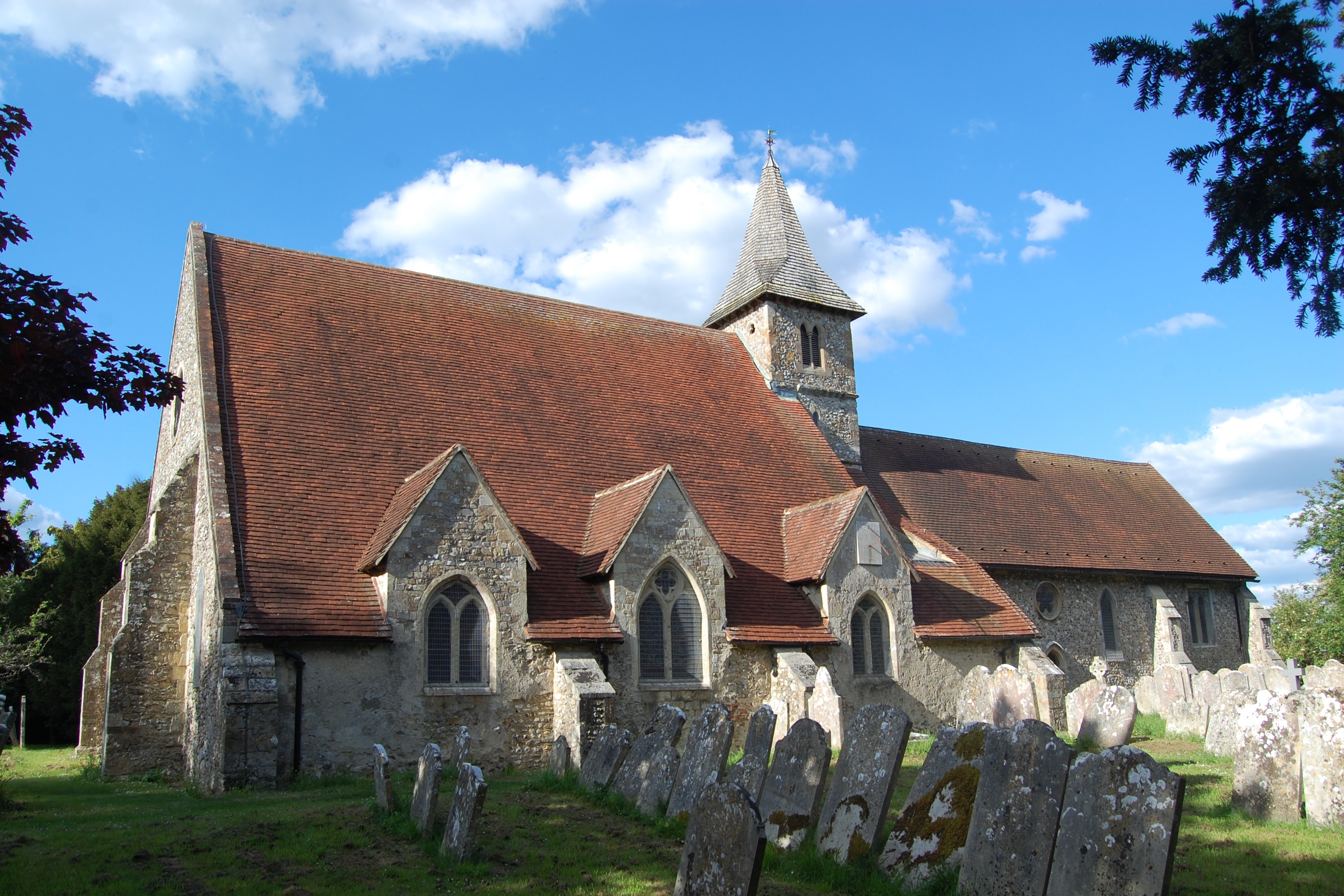
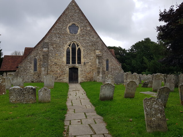
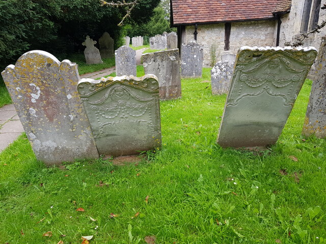
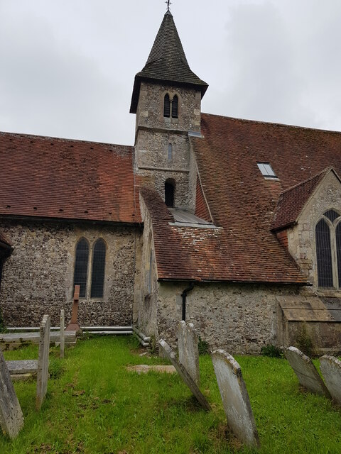
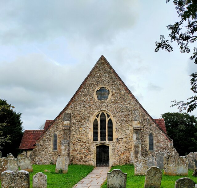
St Thomas à Becket Church, Warblington
St Thomas à Becket Church, sometimes referred to as St Thomas of Canterbury's Church and known until 1796 as the Church of Our Lady, is the Church of England...
Southmoor Nature Reserve
Southmoor Nature Reserve is a 11-hectare (27-acre) nature reserve in Havant in Hampshire. It is managed by the Hampshire and Isle of Wight Wildlife Trust...
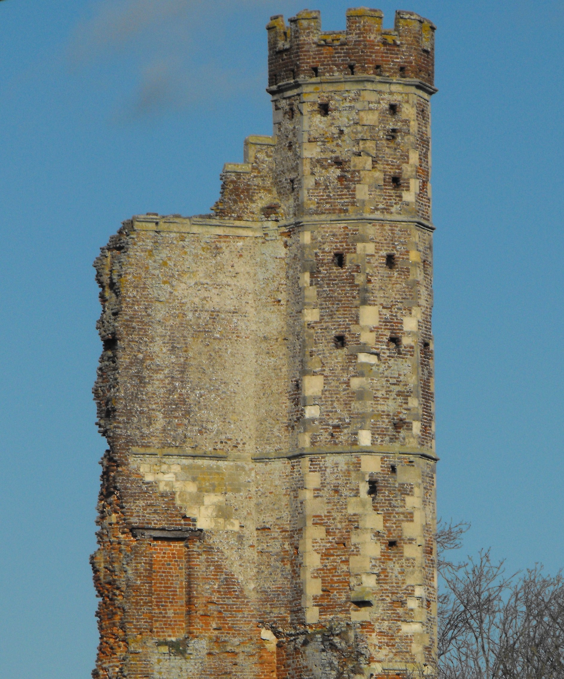
Warblington Castle
Warblington Castle or Warblington manor was a moated manor near Langstone in Havant parish, Hampshire. Most of the castle was destroyed during the English...
Related Videos

Havant to Southsea via Hayling Island | South Coast Walks | Cool Dudes Walking Club
swcwalk179 This walk is from Havant Station, down to Hayling Island, then a short hop on the Hayling Island Ferry to Southsea.

Park dean Hayling island vlog
Join us on our family holiday weekend break to Parkdean resorts Hayling Island Hampshire in March 2018. This includes an ...

South Coast Hike 🇬🇧 Portsmouth - Hayling Island | Cold and Wet Hiking during Storm Ciaran
Filmed November 2023 Starting at Portsmouth Harbour, opposite the Historic Dockyard and beside the Isle of Wight and Gosport ...

Nearby Amenities
Located within 500m of 50.838643,-0.978844Have you been to Langstone?
Leave your review of Langstone below (or comments, questions and feedback).