North Common
Downs, Moorland in Hampshire Havant
England
North Common
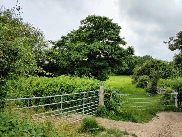
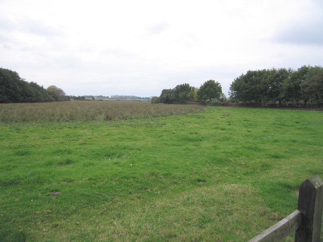
North Common is a picturesque area located in the county of Hampshire, England. Situated in the South Downs National Park, it encompasses vast expanses of downs and moorland, offering visitors and locals alike a stunning natural environment to explore.
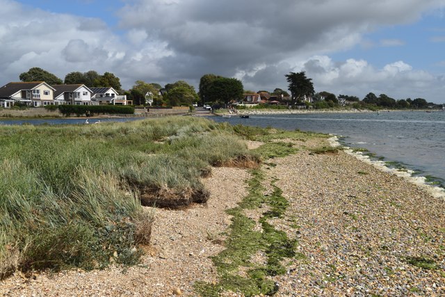
The area is characterized by rolling hills, open fields, and diverse vegetation, including heather, gorse, and various wildflowers, creating a colorful and vibrant landscape. The North Common is home to an array of wildlife, such as rabbits, foxes, and a variety of bird species, making it a popular destination for nature enthusiasts and birdwatchers.
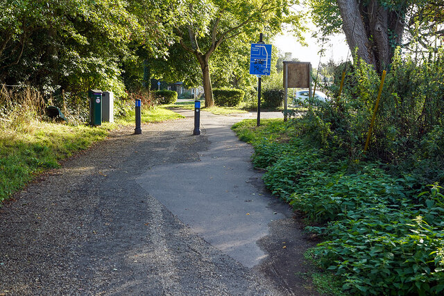
The North Common is also known for its extensive network of walking trails and footpaths, which offer breathtaking views of the surrounding countryside. These paths cater to all levels of fitness, making it accessible to both experienced hikers and casual walkers. Additionally, the area is well-maintained, with clear signage and information boards providing guidance to visitors.
North Common is not only a natural haven but also a place of historical significance. The area boasts several ancient archaeological sites, including burial mounds and Iron Age hillforts, providing a glimpse into its rich past.
Furthermore, the nearby village of North Common offers amenities such as cozy pubs, quaint cafes, and local shops, providing a welcoming atmosphere for visitors to relax and enjoy the rural charm. Overall, North Common in Hampshire is a captivating destination, offering a harmonious blend of natural beauty, outdoor activities, and historical intrigue.
If you have any feedback on the listing, please let us know in the comments section below.
North Common Images
Images are sourced within 2km of 50.833626/-0.97041967 or Grid Reference SU7204. Thanks to Geograph Open Source API. All images are credited.


North Common is located at Grid Ref: SU7204 (Lat: 50.833626, Lng: -0.97041967)
Administrative County: Hampshire
District: Havant
Police Authority: Hampshire
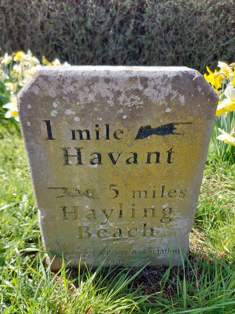
What 3 Words
///home.ruler.firms. Near Havant, Hampshire
Nearby Locations
Related Wikis
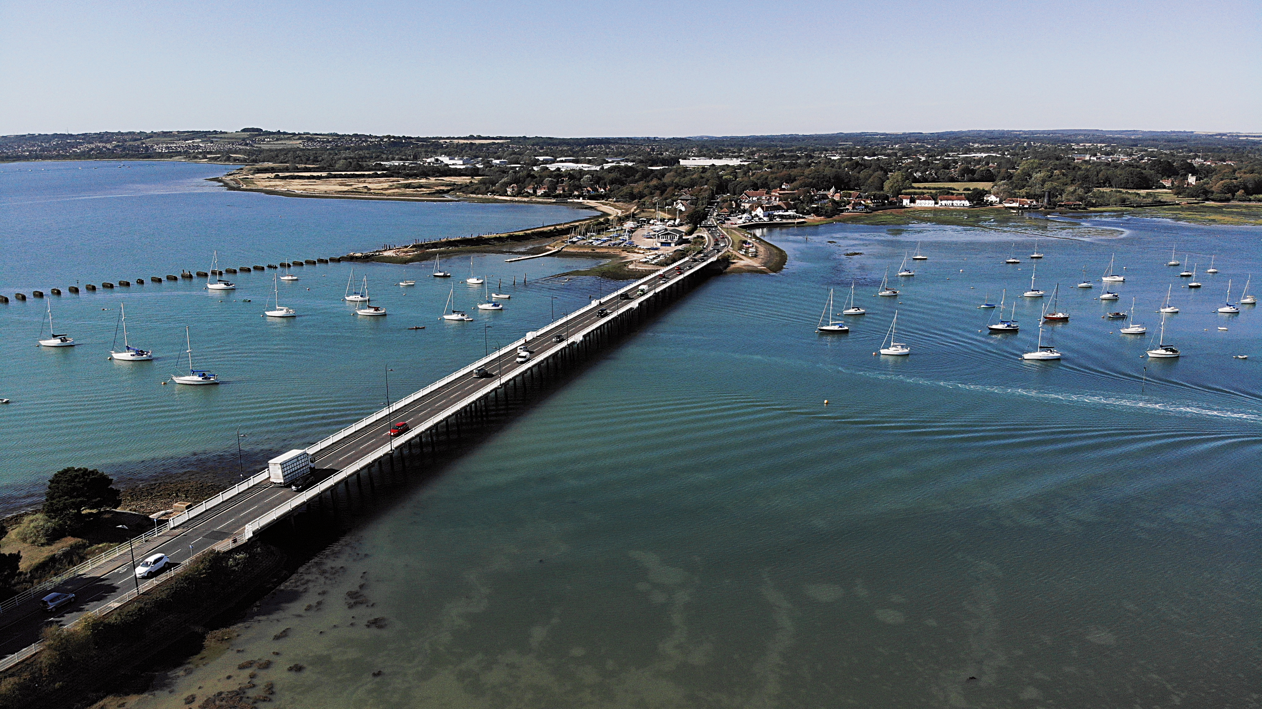
Langstone Bridge
Langstone Bridge (also known as Hayling Bridge) connects Hayling Island with the English mainland of Hampshire. The name of the bridge is derived from...
Northney
Northney is a village on north Hayling island in the borough of Havant in the county of Hampshire, England. It is on the north coast of the island, east...
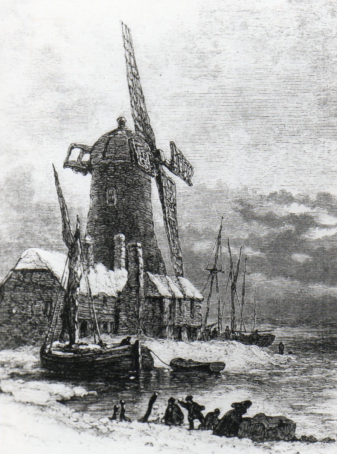
Langstone Windmill
Langstone Windmill is a Grade II listed tower mill at Langstone, Hampshire in England. It has been converted to residential accommodation. == History... ==
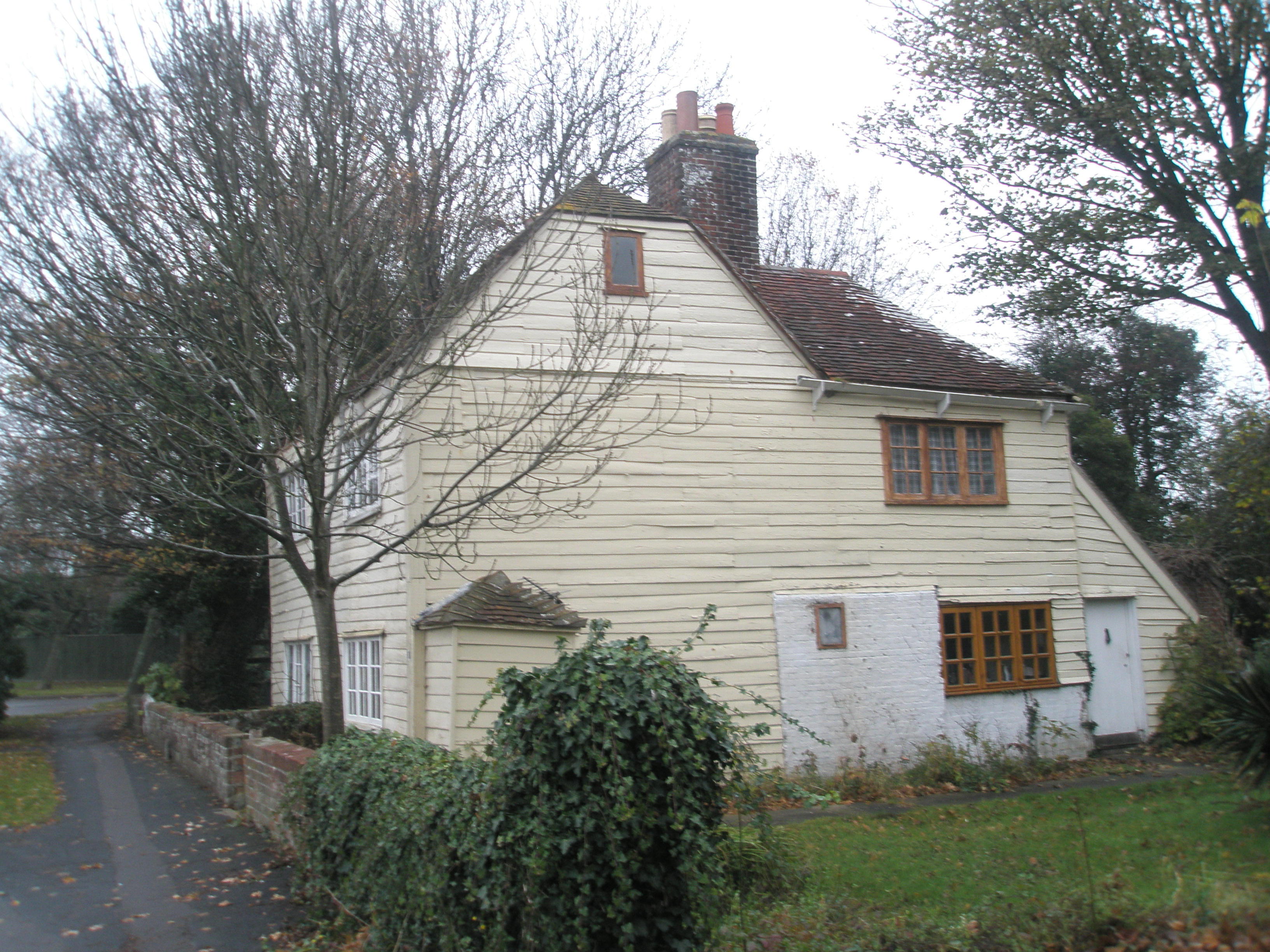
Langstone, Hampshire
Langstone is a village near Havant, Hampshire in the south east of England in Portsmouth. It has good railway connections to London, Southampton, Portsmouth...
Warblington Meadow
Warblington Meadow is a 3.9-hectare (9.6-acre) biological Site of Special Scientific Interest west of Emsworth in Hampshire.This site has areas of fresh...
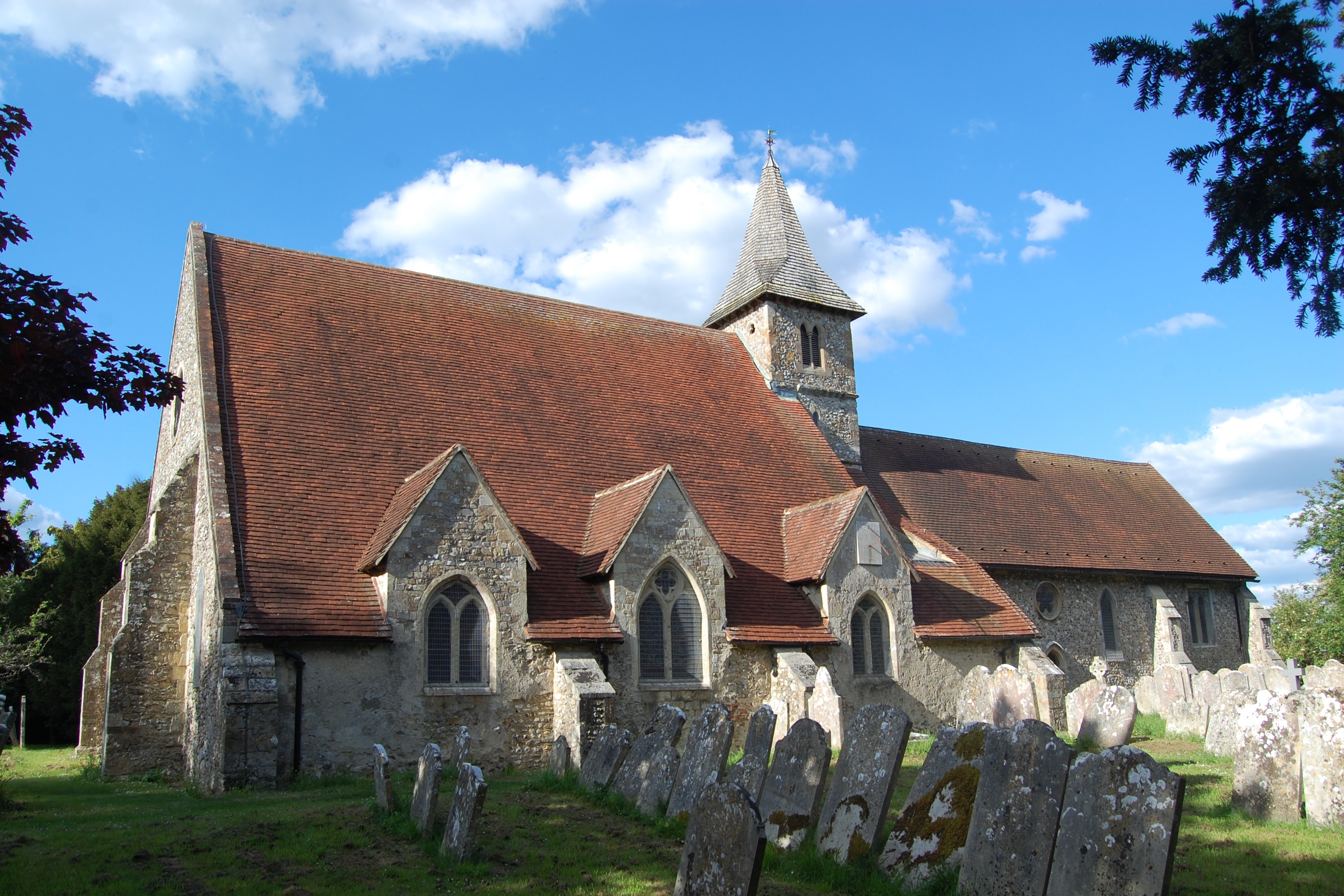
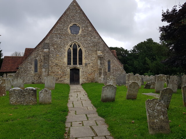
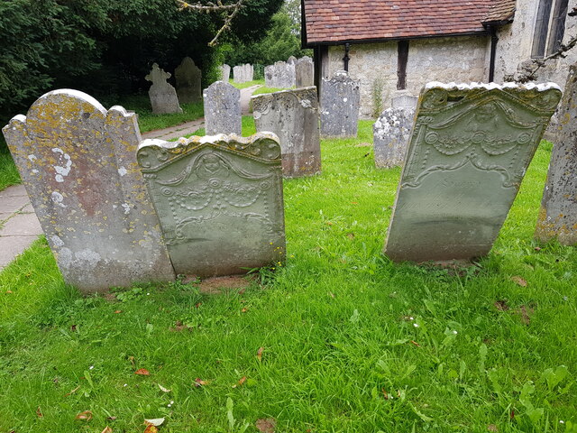
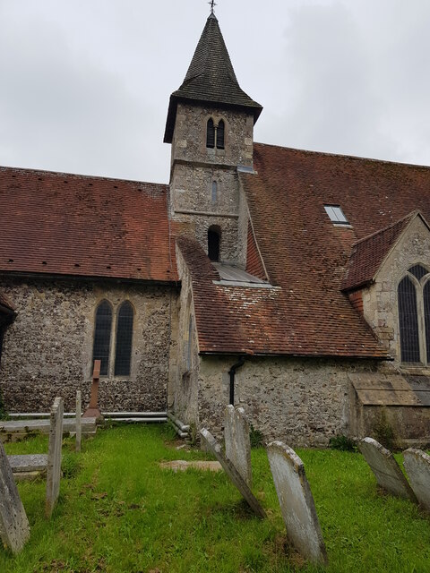
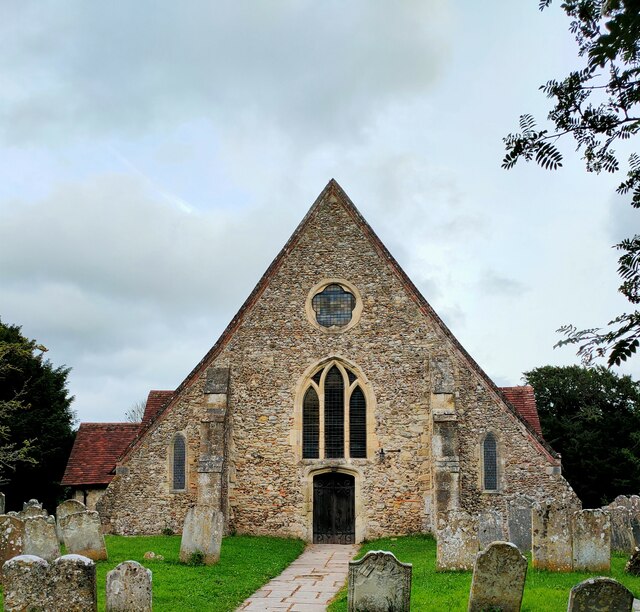
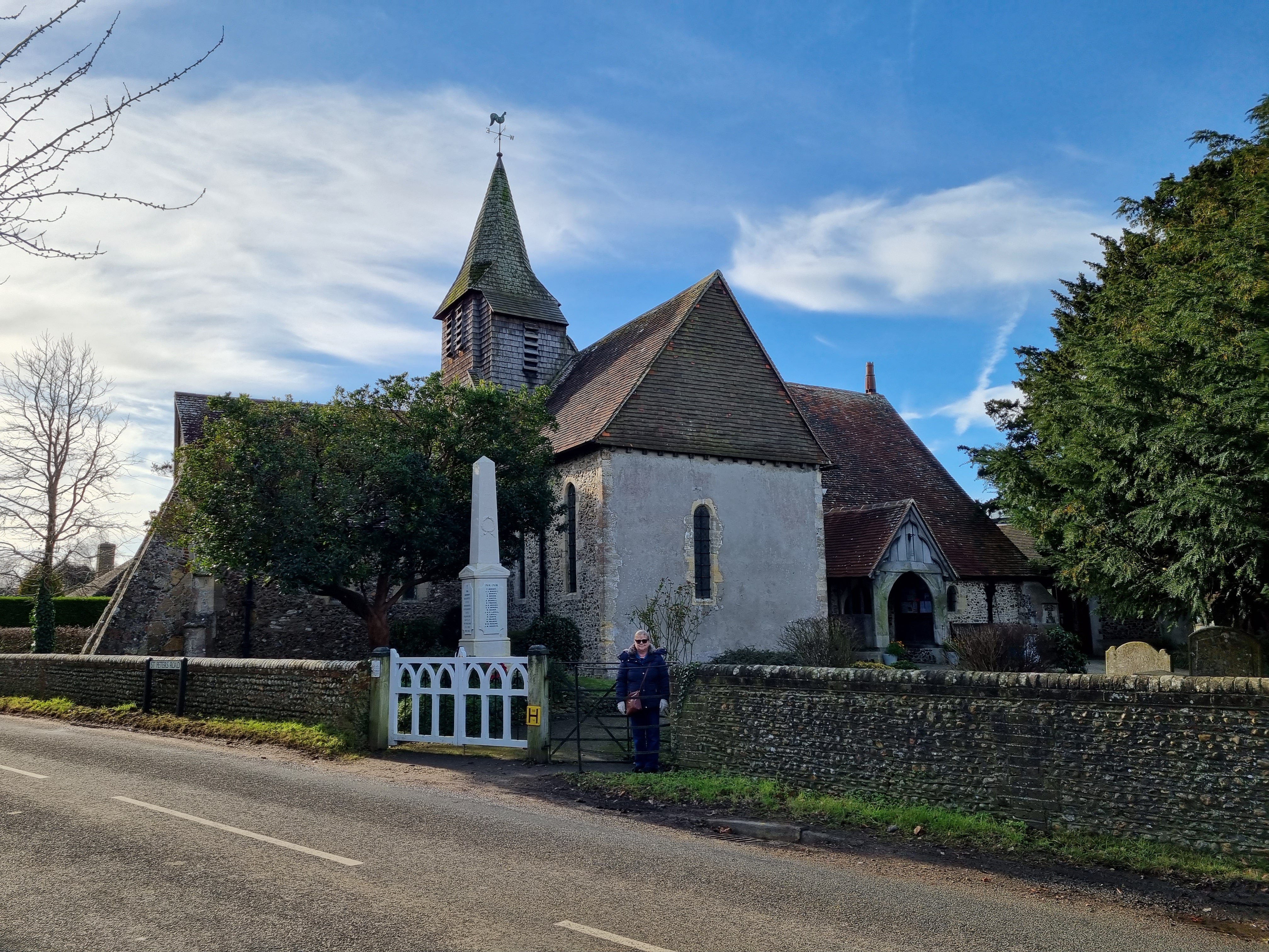
St Thomas à Becket Church, Warblington
St Thomas à Becket Church, sometimes referred to as St Thomas of Canterbury's Church and known until 1796 as the Church of Our Lady, is the Church of England...
Langston railway station
Langston was a small station on the Hayling Island branch. The station along with the rest of the line closed in 1963, and it served the Langstone area...
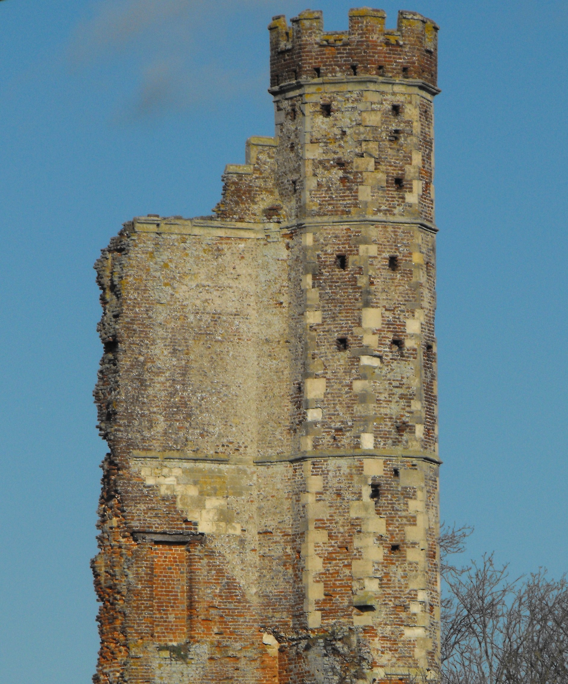
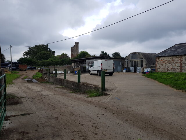
Warblington Castle
Warblington Castle or Warblington manor was a moated manor near Langstone in Havant parish, Hampshire. Most of the castle was destroyed during the English...
Related Videos

Summer Staycation VLOG! ☀️ Hayling Island Holiday Park, Hampshire UK • Mill Rythe Away Resorts
AD Gifted • This vlog features a gifted stay at Away Resorts. You can discover more about them here ...

Havant to Southsea via Hayling Island | South Coast Walks | Cool Dudes Walking Club
swcwalk179 This walk is from Havant Station, down to Hayling Island, then a short hop on the Hayling Island Ferry to Southsea.

South Coast Hike 🇬🇧 Portsmouth - Hayling Island | Cold and Wet Hiking during Storm Ciaran
Filmed November 2023 Starting at Portsmouth Harbour, opposite the Historic Dockyard and beside the Isle of Wight and Gosport ...
Nearby Amenities
Located within 500m of 50.833626,-0.97041967Have you been to North Common?
Leave your review of North Common below (or comments, questions and feedback).