Mires of Houbie
Coastal Marsh, Saltings in Shetland
Scotland
Mires of Houbie

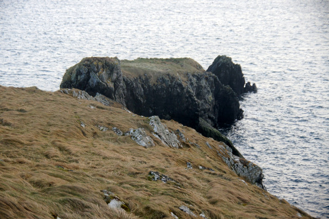
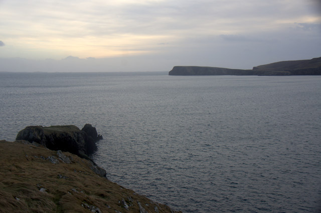
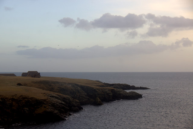
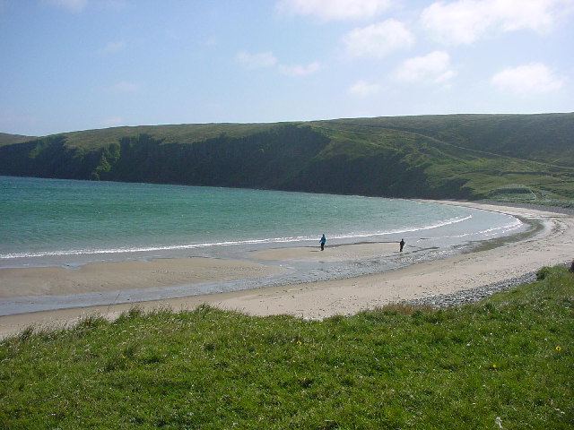
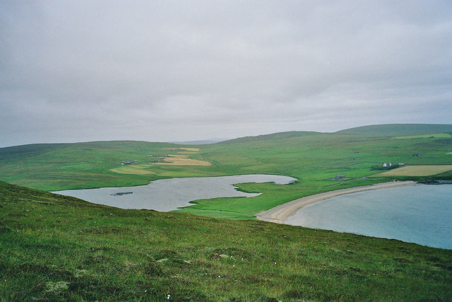
The Mires of Houbie, located in the Shetland Islands, Scotland, is a coastal marshland area known for its unique ecosystem and stunning landscape. Stretching across a vast expanse, this marshland is primarily composed of saltwater marshes and saltings.
The mires are situated in a low-lying coastal area, where freshwater and saltwater meet, creating a dynamic environment rich in biodiversity. The marshes are characterized by their waterlogged, peaty soil, which supports a variety of plant species that have adapted to survive in such conditions. Here, visitors can find an array of grasses, sedges, and rushes, as well as vibrant wildflowers during the summer months.
The area is also home to an abundance of wildlife, making it a haven for nature enthusiasts and birdwatchers. Numerous bird species can be sighted throughout the year, including wading birds like curlews, redshanks, and oystercatchers, as well as ducks and geese. The mires are particularly important for breeding and wintering birds, providing them with a safe habitat and ample food sources.
The Mires of Houbie offer a tranquil and picturesque setting for visitors to explore. Several walking trails and observation points have been established, allowing visitors to observe and appreciate the natural beauty of the marshland. The landscape, with its interplay of water, reeds, and skies, provides a serene and calming atmosphere.
In addition to its natural beauty, the Mires of Houbie also play a crucial role in carbon sequestration and flood control. The dense vegetation and peat soils act as carbon sinks, helping to mitigate climate change, while the marshes act as natural buffers, absorbing excess water during heavy rainfall and preventing flooding in nearby areas.
Overall, the Mires of Houbie in Shetland are a unique and vital coastal marshland, offering visitors an opportunity to connect with nature and appreciate the diverse ecosystem that thrives in
If you have any feedback on the listing, please let us know in the comments section below.
Mires of Houbie Images
Images are sourced within 2km of 60.595323/-0.87321612 or Grid Reference HU6190. Thanks to Geograph Open Source API. All images are credited.


Mires of Houbie is located at Grid Ref: HU6190 (Lat: 60.595323, Lng: -0.87321612)
Unitary Authority: Shetland Islands
Police Authority: Highlands and Islands
What 3 Words
///given.violinist.lizards. Near Houbie, Shetland Islands
Nearby Locations
Related Wikis

Fetlar
Fetlar (Scots: Fetlar) is one of the North Isles of Shetland, Scotland, with a usually resident population of 61 at the time of the 2011 census. Its main...

Haltadans
Haltadans, also known as Fairy Ring or Haltadans stone circle, is a stone circle on the island of Fetlar in Shetland, Scotland. This site is a ring of...

Funzie Girt
Funzie Girt (; Scots: Funyie Girt "Finns' dyke") is an ancient dividing wall that was erected from north to south across the island of Fetlar in Shetland...

Brough Lodge
Brough Lodge is a 19th-century Gothic mansion on Fetlar, one of the Shetland Islands, in northern Scotland. Built by the Nicolson family, who were responsible...

Urie Lingey
For other islands with similar names, see Linga (disambiguation) Urie Lingey is one of the Shetland Islands. It is between Fetlar and Unst, and Yell is...

Hamars Ness
Hamars Ness is a headland on the island of Fetlar in Shetland, Scotland. The name is from the Old Norse Hamarsnes meaning "craggy headland". A ro-ro ferry...

Hascosay
Hascosay (Scots: Hascosay; Old Norse "Hafskotsey") is a small island lying between Yell and Fetlar in the Shetland Islands, Scotland. == Geography and... ==

Sound Gruney
For other islands with similar names, see Gruney (disambiguation) Sound Gruney is one of the Shetland islands. It lies about 1.5 kilometres (0.93 mi)...
Related Videos

Fetlar | 'The Garden of Shetland'
We visit Fetlar, the fourth largest island in Shetland but with a population of only 60. A wide open landscape with a sad history of ...
Aith and Unseen Fetlar footage
The final footage from the archives of Fetlar Aerial. You can watch all the Fetlar Aerial Photography videos at: ...
Nearby Amenities
Located within 500m of 60.595323,-0.87321612Have you been to Mires of Houbie?
Leave your review of Mires of Houbie below (or comments, questions and feedback).