Milliagord

Coastal Marsh, Saltings in Shetland

Scotland

Milliagord

Tresta, Fetlar, from Bealans Although named Herra on the map, the house here, which belongs to the RSPB, is named Bealans. Above the Wick of Tresta, the trees around the Manse can be seen on the left, and the church is on the right, beside Papil Water, while the tip of the Lambhoga peninsula is in the distance.
Tresta, Fetlar, from Bealans Credit: Mike Pennington

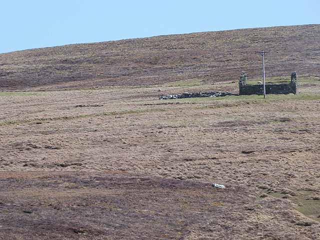
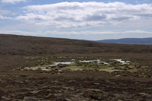
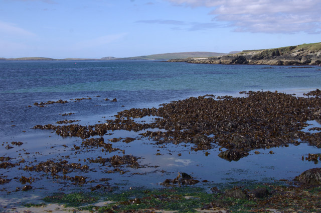
Milliagord, Shetland is a picturesque coastal marsh and saltings located in the northernmost part of Scotland. It is situated on the island of Shetland, known for its rugged landscapes and abundant wildlife. Milliagord is a popular destination for nature enthusiasts, birdwatchers, and those seeking tranquility amidst stunning natural beauty.

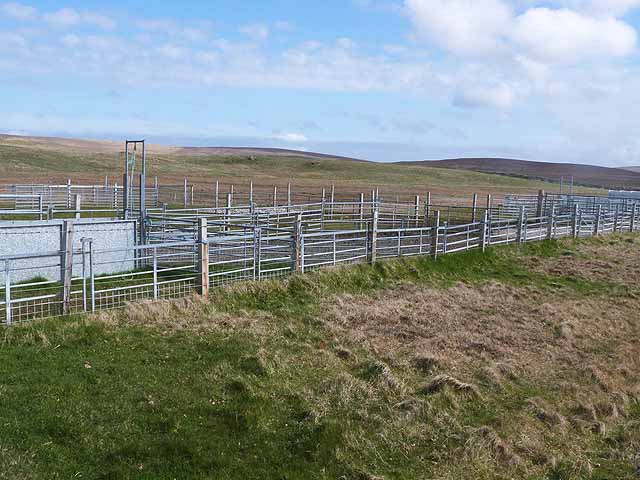
The area is characterized by its unique ecosystem, a mix of salt marshes, mudflats, and sand dunes. The coastal marshes are home to a diverse range of plant species, including sea lavender, thrift, and marsh marigold. These plants thrive in the salty and sometimes waterlogged conditions of the marsh. The saltings, on the other hand, are grassy areas that are occasionally flooded by the tides.

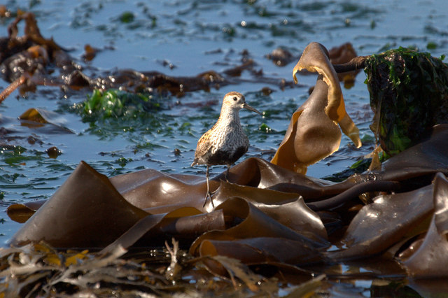
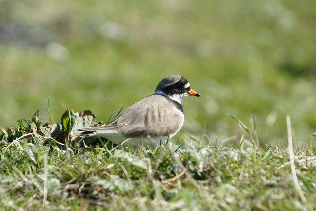
Milliagord is particularly renowned for its birdlife. The marshes and mudflats provide an ideal habitat for a variety of wading birds, such as curlews, oystercatchers, and redshanks. It is also a breeding ground for Arctic terns, which migrate to the area during the summer months. This makes Milliagord an important site for bird migration studies.

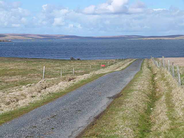
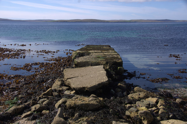
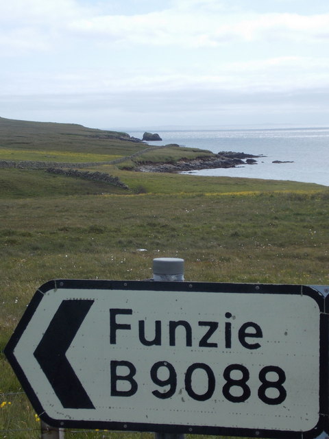
Visitors to Milliagord can explore the area by following the well-maintained footpath that winds its way through the marshes and saltings. The walk offers breathtaking views of the surrounding coastline, with its dramatic cliffs and crashing waves. It is also an opportunity to observe the wildlife up close, as well as learn about the unique ecology of the area.

In summary, Milliagord, Shetland is a coastal marsh and saltings that offers a rich natural environment and stunning vistas. It is a haven for birdwatchers and nature lovers, providing an opportunity to immerse oneself in the beauty of Scotland's northernmost islands.

If you have any feedback on the listing, please let us know in the comments section below.

Milliagord Images

Images are sourced within 2km of 60.605363/-0.93708312 or Grid Reference HU5891. Thanks to Geograph Open Source API. All images are credited.
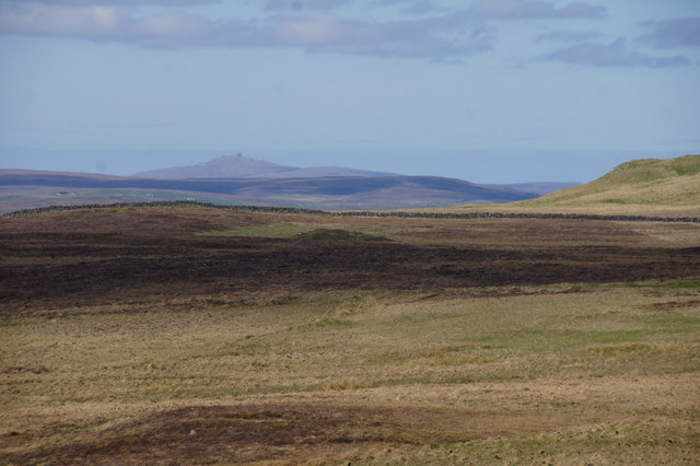
Tresta, Fetlar, from Bealans Although named Herra on the map, the house here, which belongs to the RSPB, is named Bealans. Above the Wick of Tresta, the trees around the Manse can be seen on the left, and the church is on the right, beside Papil Water, while the tip of the Lambhoga peninsula is in the distance.
Tresta, Fetlar, from Bealans
Although named Herra on the map, the house here, which belongs to the RSPB, is named Bealans. Above the Wick of Tresta, the trees around the Manse can be seen on the left, and the church is on the right, beside Papil Water, while the tip of the Lambhoga peninsula is in the distance.
Road west of Brough Lodge The B9088 drops down to the pier at Ugasta on the west coast of Fetlar.
Road west of Brough Lodge
The B9088 drops down to the pier at Ugasta on the west coast of Fetlar.
Shetland ponies below Sugil
The Tower at Brough Lodge A Victorian folly overlooking the west coast of Fetlar.
The Tower at Brough Lodge
A Victorian folly overlooking the west coast of Fetlar.
Three roadside containers Purpose unknown, these containers stand by the road to the Fetlar ferry terminal.
Three roadside containers
Purpose unknown, these containers stand by the road to the Fetlar ferry terminal.
Roadside livestock pens By the road from the Fetlar ferry terminal.
Roadside livestock pens
By the road from the Fetlar ferry terminal.
Moorland and the valley of the Burn of Vaus The western end of Papil Water <a href="https://www.geograph.org.uk/gridref/HU5990">HU5990</a>] can be seen in the middle distance.
Moorland and the valley of the Burn of Vaus
The western end of Papil Water HU5990] can be seen in the middle distance.
Ruined cottage at Uskister
Dunlin (Calidris alpina) on the beach at Ugasta by Brough Lodge Dunlin breed quite commonly on moorland in Shetland. This is either a local bird feeding on the shore or a late migrant still heading north.
Dunlin (Calidris alpina) on the beach at Ugasta by Brough Lodge
Dunlin breed quite commonly on moorland in Shetland. This is either a local bird feeding on the shore or a late migrant still heading north.
Ringed Plover (Charadrius hiaticula) at Ugasta by Brough Lodge Ringed Plovers breed quite commonly in Shetland, most often in coastal habitats.
Ringed Plover (Charadrius hiaticula) at Ugasta by Brough Lodge
Ringed Plovers breed quite commonly in Shetland, most often in coastal habitats.
Mire at Sanslogins, north of Gallow Hill
Track to telecoms mast at Ponsil, Lambhoga
View north over Mires of Oddsetter Saxa Vord on Unst is in the distance.
View north over Mires of Oddsetter
Saxa Vord on Unst is in the distance.
Dilapidated pier at Ugasta, near Brough Lodge
Beach at Ugasta, near Brough Lodge
Fetlar: signpost to Funzie Looking along the western side of the island, while the road heads east across to Funzie (pronounced Finnie) on the B9088.
Fetlar: signpost to Funzie
Looking along the western side of the island, while the road heads east across to Funzie (pronounced Finnie) on the B9088.
Brough Lodge Folly The oval-shaped tower in the grounds may have been contemporary with the manor house, or it may have been built slightly later. It is another example of a folly-type structure, even though it occupies the site of an actual Iron Age broch, and it originally had three storeys, joined to the land by a footbridge which has now disintegrated. It was used at one stage as an astronomical observatory, which contained a large telescope, and the lens for the instrument has been preserved at Fetlar Interpretive Centre.
Brough Lodge Folly
The oval-shaped tower in the grounds may have been contemporary with the manor house, or it may have been built slightly later. It is another example of a folly-type structure, even though it occupies the site of an actual Iron Age broch, and it originally had three storeys, joined to the land by a footbridge which has now disintegrated. It was used at one stage as an astronomical observatory, which contained a large telescope, and the lens for the instrument has been preserved at Fetlar Interpretive Centre.
Kirk Knowe Trig The pillar sits inside some sort of stone ruin.
Kirk Knowe Trig
The pillar sits inside some sort of stone ruin.
Show me another place!

Milliagord is located at Grid Ref: HU5891 (Lat: 60.605363, Lng: -0.93708312)

Unitary Authority: Shetland Islands

Police Authority: Highlands and Islands

What 3 Words

///squad.escalated.stirs. Near Houbie, Shetland Islands

Related Wikis

Brough Lodge

Brough Lodge is a 19th-century Gothic mansion on Fetlar, one of the Shetland Islands, in northern Scotland. Built by the Nicolson family, who were responsible...

Hamars Ness

Hamars Ness is a headland on the island of Fetlar in Shetland, Scotland. The name is from the Old Norse Hamarsnes meaning "craggy headland". A ro-ro ferry...

Hascosay

Hascosay (Scots: Hascosay; Old Norse "Hafskotsey") is a small island lying between Yell and Fetlar in the Shetland Islands, Scotland. == Geography and... ==

Urie Lingey

For other islands with similar names, see Linga (disambiguation) Urie Lingey is one of the Shetland Islands. It is between Fetlar and Unst, and Yell is...

Fetlar

Fetlar (Scots: Fetlar) is one of the North Isles of Shetland, Scotland, with a usually resident population of 61 at the time of the 2011 census. Its main...

Haltadans

Haltadans, also known as Fairy Ring or Haltadans stone circle, is a stone circle on the island of Fetlar in Shetland, Scotland. This site is a ring of...

Funzie Girt

Funzie Girt (; Scots: Funyie Girt "Finns' dyke") is an ancient dividing wall that was erected from north to south across the island of Fetlar in Shetland...

Burra Ness Broch

Burra Ness Broch is an iron-age broch located on the east coast of the island of Yell, Shetland, Scotland. == Location == Burra Ness Broch (grid reference...

Have you been to Milliagord?

Leave your review of Milliagord below (or comments, questions and feedback).