Backagerd
Bay in Shetland
Scotland
Backagerd

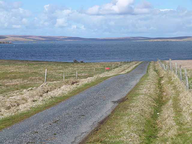
Backagerd, Shetland (Bay), also known as Backa Bay, is a picturesque coastal area located on the west coast of mainland Shetland, Scotland. This beautiful bay is nestled between the settlements of Walls and Sandness and is renowned for its stunning natural beauty and tranquil atmosphere.
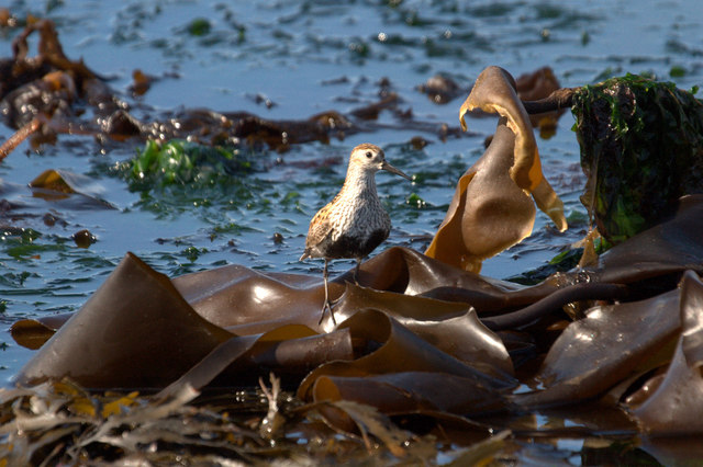
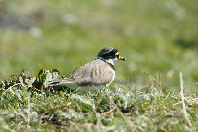
The bay itself is characterized by its sandy beach, which stretches for approximately 1.5 kilometers. The crystal-clear waters of the North Atlantic Ocean gently lap against the shoreline, creating a soothing sound and providing an inviting spot for swimming and water activities during the warmer months. The beach is also a popular destination for birdwatchers, as it attracts various seabird species such as guillemots, puffins, and fulmars.
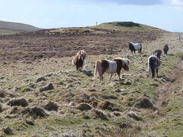
Surrounded by rolling hills and rugged cliffs, Backagerd offers breathtaking panoramic views of the surrounding landscape. The area is rich in wildlife, with otters, seals, and even occasional sightings of whales and dolphins in the bay. It is also home to a diverse range of plant species, including wildflowers and sea thrift, which add bursts of color to the coastal scenery.
Visitors to Backagerd can enjoy peaceful walks along the bay, exploring the rock pools, and discovering the unique marine life that inhabits the area. The bay is easily accessible by road, with ample parking available nearby. Additionally, there are picnic spots and benches dotted along the beach, allowing visitors to relax and soak in the tranquility of this idyllic location.
Overall, Backagerd, Shetland (Bay) is a haven for nature lovers and those seeking a peaceful escape amidst stunning coastal scenery.
If you have any feedback on the listing, please let us know in the comments section below.
Backagerd Images
Images are sourced within 2km of 60.601054/-0.93497855 or Grid Reference HU5891. Thanks to Geograph Open Source API. All images are credited.


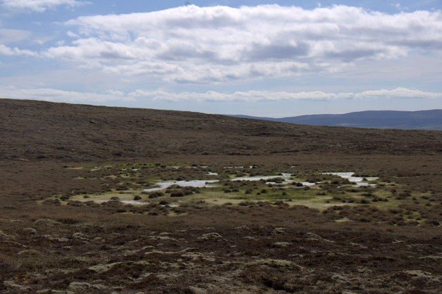
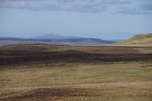
![Moorland and the valley of the Burn of Vaus The western end of Papil Water <a href="https://www.geograph.org.uk/gridref/HU5990">HU5990</a>] can be seen in the middle distance.](https://s1.geograph.org.uk/geophotos/03/47/02/3470245_a55c02f7.jpg)
Backagerd is located at Grid Ref: HU5891 (Lat: 60.601054, Lng: -0.93497855)
Unitary Authority: Shetland Islands
Police Authority: Highlands and Islands
What 3 Words
///formless.repaid.stance. Near Houbie, Shetland Islands
Nearby Locations
Related Wikis

Brough Lodge
Brough Lodge is a 19th-century Gothic mansion on Fetlar, one of the Shetland Islands, in northern Scotland. Built by the Nicolson family, who were responsible...

Hascosay
Hascosay (Scots: Hascosay; Old Norse "Hafskotsey") is a small island lying between Yell and Fetlar in the Shetland Islands, Scotland. == Geography and... ==

Hamars Ness
Hamars Ness is a headland on the island of Fetlar in Shetland, Scotland. The name is from the Old Norse Hamarsnes meaning "craggy headland". A ro-ro ferry...

Fetlar
Fetlar (Scots: Fetlar) is one of the North Isles of Shetland, Scotland, with a usually resident population of 61 at the time of the 2011 census. Its main...

Urie Lingey
For other islands with similar names, see Linga (disambiguation) Urie Lingey is one of the Shetland Islands. It is between Fetlar and Unst, and Yell is...

Haltadans
Haltadans, also known as Fairy Ring or Haltadans stone circle, is a stone circle on the island of Fetlar in Shetland, Scotland. This site is a ring of...

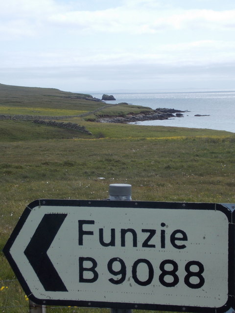
Funzie Girt
Funzie Girt (; Scots: Funyie Girt "Finns' dyke") is an ancient dividing wall that was erected from north to south across the island of Fetlar in Shetland...

Burra Ness Broch
Burra Ness Broch is an iron-age broch located on the east coast of the island of Yell, Shetland, Scotland. == Location == Burra Ness Broch (grid reference...
Nearby Amenities
Located within 500m of 60.601054,-0.93497855Have you been to Backagerd?
Leave your review of Backagerd below (or comments, questions and feedback).