North Marsh

Coastal Marsh, Saltings in Yorkshire Selby

England

North Marsh

Home Farm entrance Combined gate and cattle grid at the roadside track leading to Home Farm.
Home Farm entrance Credit: William Metcalfe

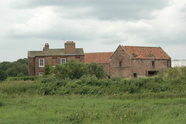
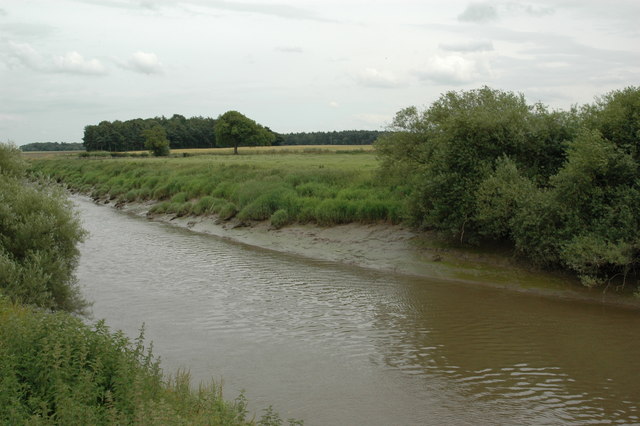
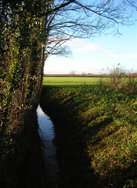
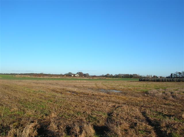
North Marsh is a picturesque coastal marshland located in Yorkshire, England. Situated in close proximity to the North Sea, it is renowned for its unique ecosystem and stunning natural beauty. The marshland is characterized by vast expanses of salt marshes and saltings, which are areas of land that are regularly flooded by tidal waters. These saltings provide a rich habitat for a variety of plant and animal species, making North Marsh an important site for wildlife conservation.

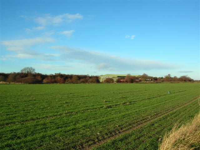
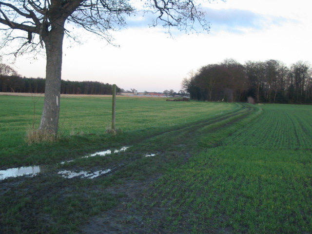
The landscape of North Marsh is dominated by rolling dunes, reed beds, and tidal creeks, creating a diverse and dynamic environment. The marshes are home to a wide range of bird species, including migratory birds such as curlews, oystercatchers, and redshanks. It also serves as a breeding ground for many wading birds, making it a popular destination for birdwatchers and nature enthusiasts.

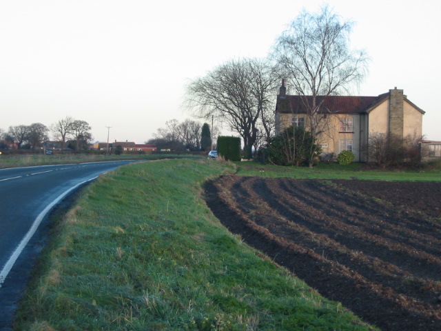
Visitors to North Marsh can enjoy peaceful walks along the well-maintained footpaths that wind through the marshland, offering breathtaking views of the surrounding coastal scenery. The area is also a haven for nature photographers, with its ever-changing landscapes and abundant wildlife providing endless opportunities for capturing stunning images.

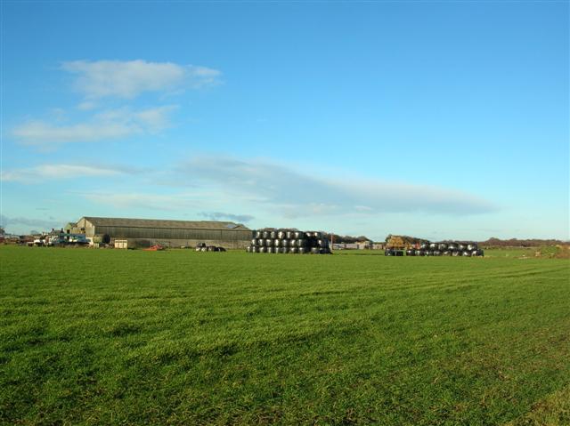
In addition to its natural attractions, North Marsh boasts a rich cultural history. It has been inhabited for centuries, and evidence of human activity can be found in the form of ancient settlements and archaeological sites. The marshland has also played a significant role in the local economy, with traditional activities such as salt harvesting and fishing being practiced in the area.

Overall, North Marsh in Yorkshire is a remarkable coastal marshland that offers a unique blend of natural beauty, wildlife, and historical significance. Its tranquil atmosphere and breathtaking landscapes make it a must-visit destination for anyone seeking a peaceful escape in the heart of nature.

If you have any feedback on the listing, please let us know in the comments section below.
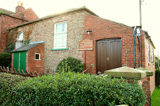
North Marsh Images

Images are sourced within 2km of 53.869343/-1.1138665 or Grid Reference SE5841. Thanks to Geograph Open Source API. All images are credited.

Home Farm entrance Combined gate and cattle grid at the roadside track leading to Home Farm.
Home Farm entrance
Combined gate and cattle grid at the roadside track leading to Home Farm.
Stillingfleet Church
Stillingfleet Bridge Village bridge over Stillingfleet Beck
Stillingfleet Bridge
Village bridge over Stillingfleet Beck
Stillingfleet church Looking N from position
Stillingfleet church
Looking N from position
Acaster Selby, St John the Evangelist Acaster Selby is a small village (19 houses) in the confluence of the rivers Ouse and Wharfe south of York and the church is an unspoilt  and unaltered gem by Pearson of 1850 with a fifteenth century font reputedly originating from Kirkham Priory.
Acaster Selby, St John the Evangelist
Acaster Selby is a small village (19 houses) in the confluence of the rivers Ouse and Wharfe south of York and the church is an unspoilt and unaltered gem by Pearson of 1850 with a fifteenth century font reputedly originating from Kirkham Priory.
College Farm, Acaster Selby Acaster Selby is a small riverside village south of York and the Selby part of the name comes from a grange of Selby Abbey having been here before the dissolution. College Farm dates from before 1829 and is a fine building which is currently empty. There are two massive brick barns, one of similar date and one which appears earlier. A few hundred yards away is the site of the college, a pre-reformation school dissolved under the Chantries Act (as it also was one) and now represented by bumps in a field.
College Farm, Acaster Selby
Acaster Selby is a small riverside village south of York and the Selby part of the name comes from a grange of Selby Abbey having been here before the dissolution. College Farm dates from before 1829 and is a fine building which is currently empty. There are two massive brick barns, one of similar date and one which appears earlier. A few hundred yards away is the site of the college, a pre-reformation school dissolved under the Chantries Act (as it also was one) and now represented by bumps in a field.
River Ouse, Acaster Selby There was once a ferry here linking to Stillingfleet, on the opposite bank. On Boxing Day 1833 the ferry sank whilst carrying Stilligfleet church choir  and eleven people were drowned, mostly teenage girls and a disaster for a small village which is still remembered today. Subsequently the ferry, which took an oblique course across the river, was moved to a more direct course slightly further upstream and is now no more.

The Ouse is tidal at this point and a navigation demanding some care; before the coming of railways, and indeed for many years after, it was a very busy commercial waterway.
River Ouse, Acaster Selby
There was once a ferry here linking to Stillingfleet, on the opposite bank. On Boxing Day 1833 the ferry sank whilst carrying Stilligfleet church choir and eleven people were drowned, mostly teenage girls and a disaster for a small village which is still remembered today. Subsequently the ferry, which took an oblique course across the river, was moved to a more direct course slightly further upstream and is now no more. The Ouse is tidal at this point and a navigation demanding some care; before the coming of railways, and indeed for many years after, it was a very busy commercial waterway.
Acaster Selby, St John The Evangelist, another shot.
Stillingfleet, St Helens Church
Stillingfleet, Methodist Chapel
Drainage ditch Situated off Daw Lane.
Drainage ditch
Situated off Daw Lane.
Warehouse on Acaster Airfield Situated on the old airfield north of Acaster Selby.
Warehouse on Acaster Airfield
Situated on the old airfield north of Acaster Selby.
Woodland and warehouse Situated on the disused airfield north of Acaster Selby.
Woodland and warehouse
Situated on the disused airfield north of Acaster Selby.
Old airfield at Acaster Now used for farmland, but the airfield is still fairly evident on the ground.
Old airfield at Acaster
Now used for farmland, but the airfield is still fairly evident on the ground.
The Cross Keys Pub, Stillingfleet
House on the B1222 near Stillingfleet
Bridleway near Stillingfleet
Driveway entrance to Home Farm - now a camp site
Show me another place!

North Marsh is located at Grid Ref: SE5841 (Lat: 53.869343, Lng: -1.1138665)

Division: East Riding

Administrative County: North Yorkshire

District: Selby

Police Authority: North Yorkshire

What 3 Words

///mavericks.messing.expensive. Near Cawood, North Yorkshire

Related Wikis

RAF Acaster Malbis

Royal Air Force Acaster Malbis, or more simply RAF Acaster Malbis, is a former Royal Air Force station located 5.9 miles (9.5 km) south of York city centre...
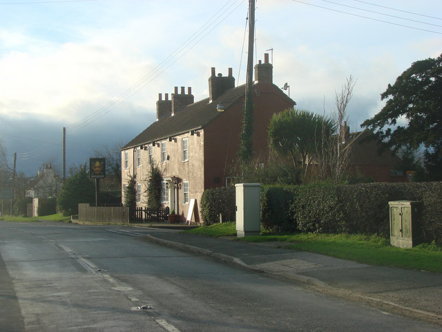
Acaster Selby

Acaster Selby is a village in North Yorkshire, England. It is part of the joint civil parish with Appleton Roebuck (where the population is now included...

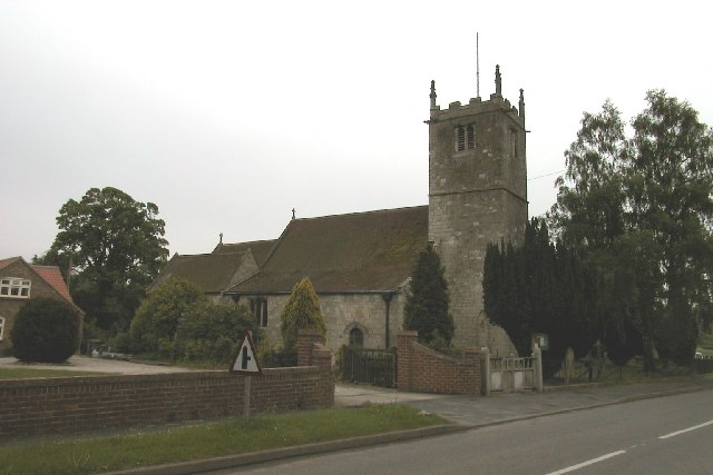
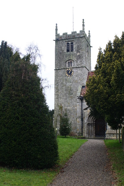
St Helen's Church, Stillingfleet

St Helen's Church is the parish church of Stillingfleet, in North Yorkshire, in England. == History == The church was originally built in about 1145, from...

Stillingfleet

Stillingfleet is a village and civil parish in North Yorkshire, England. It was in the historic East Riding of Yorkshire, but since 1974 has come under...

Bishopthorpe Rural District

Bishopthorpe was a rural district in the West Riding of Yorkshire from 1894 to 1937. It was formed under the Local Government Act 1894 from that part of...

Acaster South Ings

Acaster South Ings is a Site of Special Scientific Interest, or SSSI, near York, England. It consists of two alluvial flood-meadows, and was designated...

Bell Hall

Bell Hall is a grade I listed building, in Naburn, in the rural southern part of the city of York, in England. The house was built in 1680 for John Hewley...
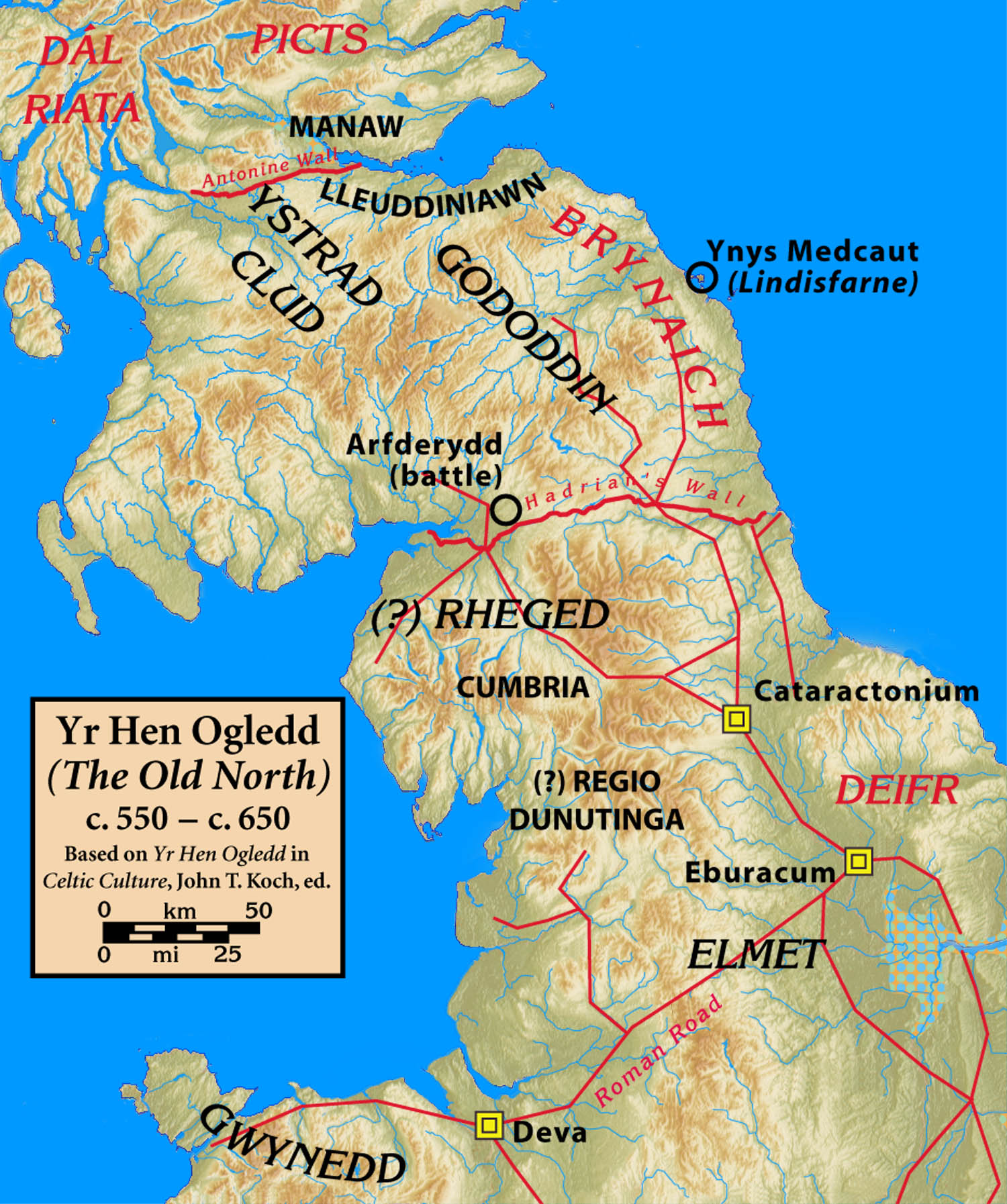
Elmet

Elmet (Welsh: Elfed), sometimes Elmed or Elmete, was an independent Brittonic Celtic Cumbric speaking kingdom between about the 4th century and mid 7th...

Nearby Amenities

Located within 500m of 53.869343,-1.1138665
Barrier: kissing_gate
Lat/Long: 53.8675829/-1.1186074
Fixme: Longer thah this
Lat/Long: 53.8677104/-1.1186466
The data included in this document is from www.openstreetmap.org. The data is made available under ODbL.

Have you been to North Marsh?

Leave your review of North Marsh below (or comments, questions and feedback).