Beck Row
Settlement in Suffolk West Suffolk
England
Beck Row

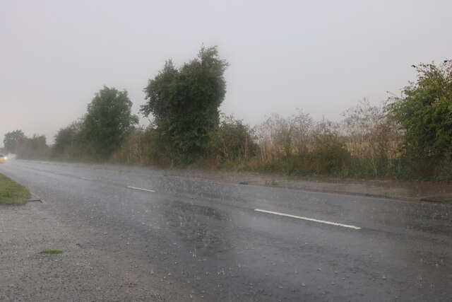
Beck Row is a small village located in the county of Suffolk, England. Situated near the town of Mildenhall, Beck Row is part of the Forest Heath district. The village is located on the edge of the Breckland, a heathland region known for its diverse flora and fauna.
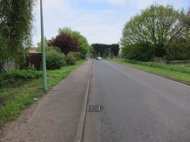
With a population of around 2,500 people, Beck Row is a close-knit community. The village offers a range of amenities to its residents, including a primary school, a post office, a convenience store, and a pub. There are also several recreational facilities, such as a community center and a sports field.
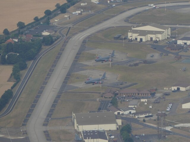
Beck Row is well-connected to nearby towns and cities. The A11 road runs through the village, providing easy access to larger centers like Bury St Edmunds and Cambridge. The village is also close to RAF Mildenhall, a major United States Air Force base.
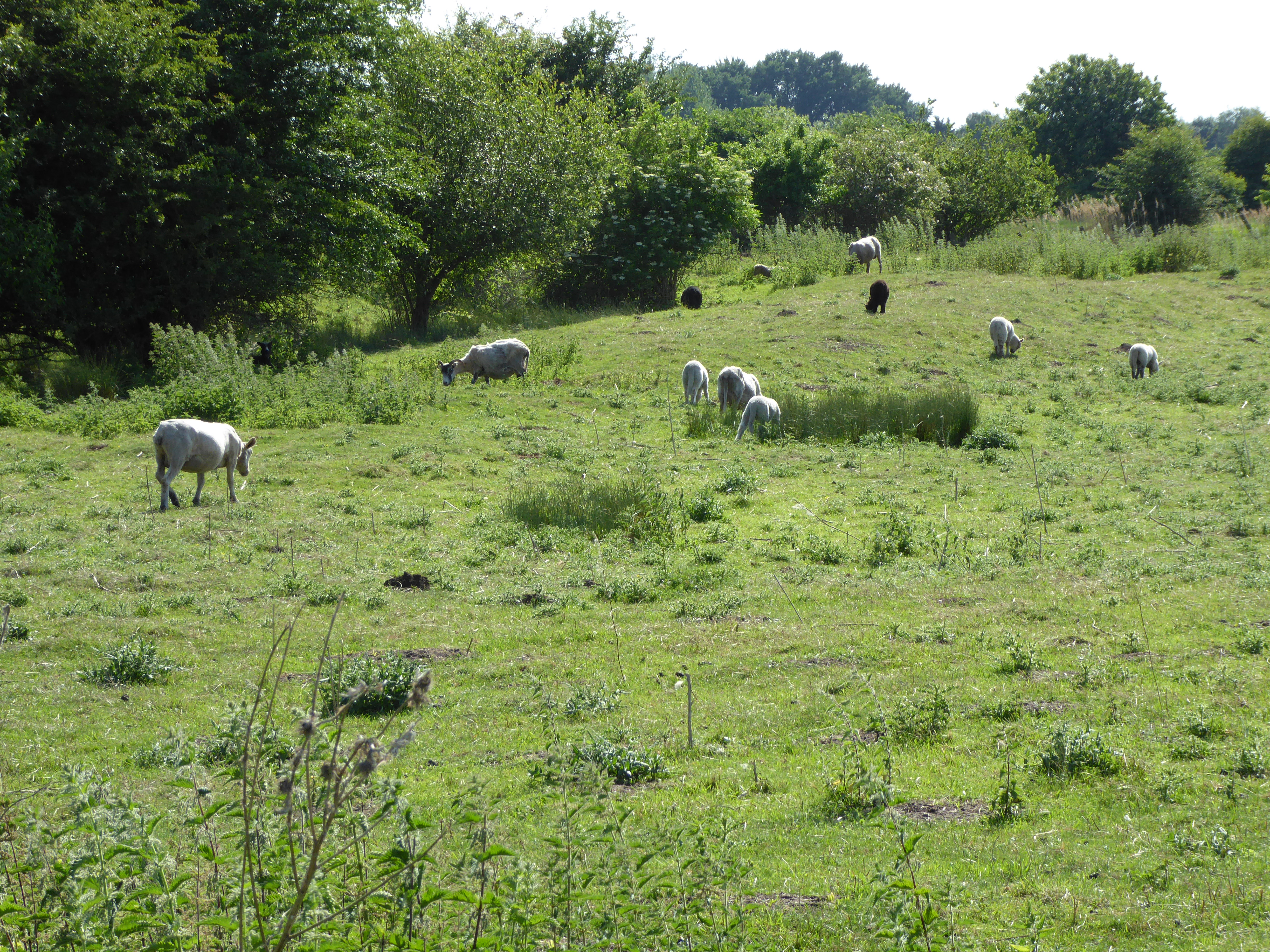
The surrounding area offers plenty of opportunities for outdoor activities. Thetford Forest, one of England's largest lowland pine forests, is just a short drive away. Here, visitors can enjoy walking, cycling, and wildlife spotting. The area is also home to the High Lodge Forest Centre, which features a range of recreational facilities, including a Go Ape treetop adventure course.
In summary, Beck Row is a quaint village in Suffolk, offering a peaceful and close community atmosphere, while also providing convenient access to nearby towns and the natural beauty of the Breckland region.
If you have any feedback on the listing, please let us know in the comments section below.
Beck Row Images
Images are sourced within 2km of 52.370442/0.489104 or Grid Reference TL6977. Thanks to Geograph Open Source API. All images are credited.


Beck Row is located at Grid Ref: TL6977 (Lat: 52.370442, Lng: 0.489104)
Administrative County: Suffolk
District: West Suffolk
Police Authority: Suffolk
What 3 Words
///messy.stag.stealthier. Near Mildenhall, Suffolk
Nearby Locations
Related Wikis
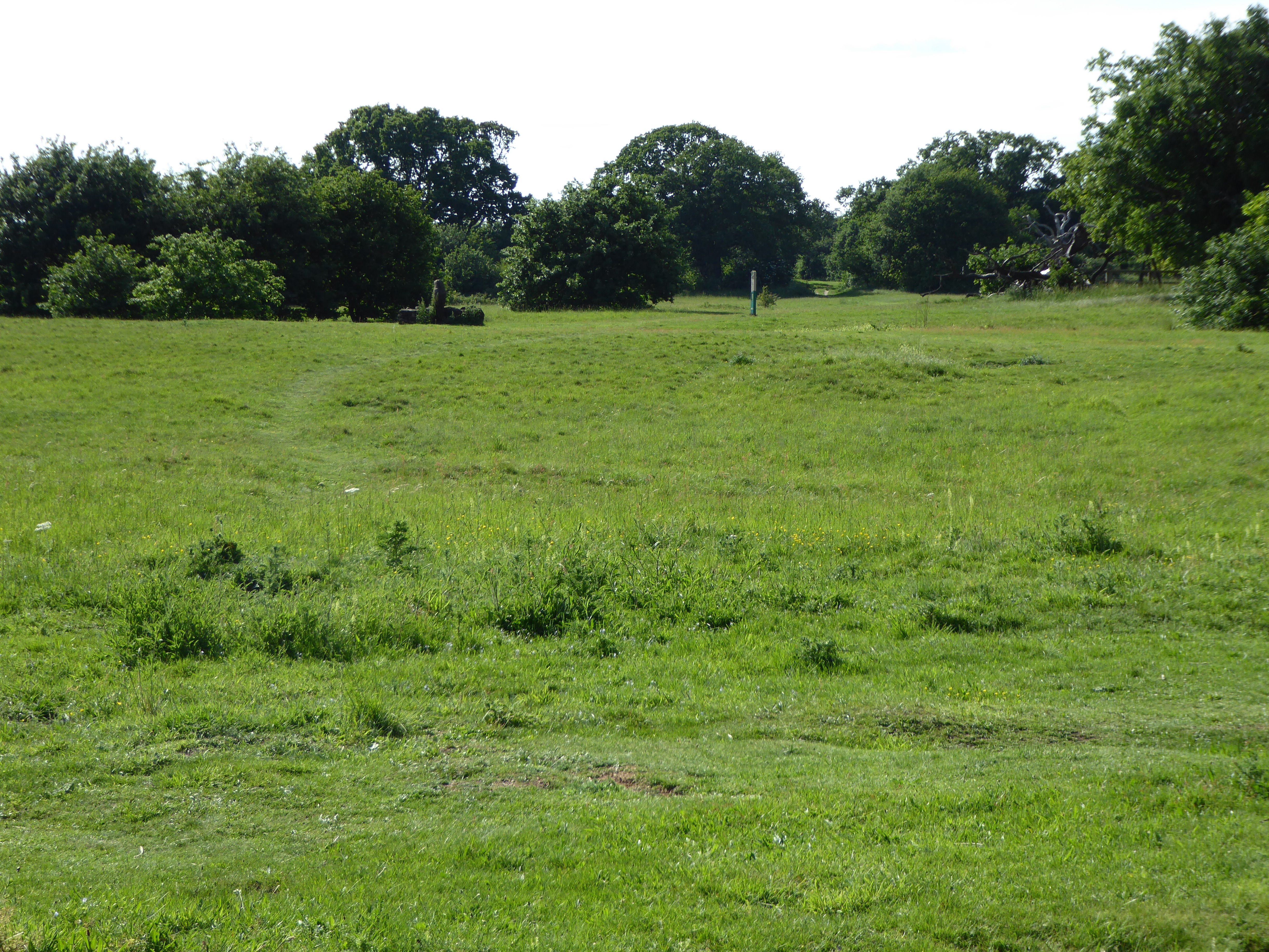
Aspal Close
Aspal Close is an 18.9 hectare Local Nature Reserve in Beck Row in Suffolk. It is owned by West Suffolk District Council and managed by the council together...

Beck Row, Holywell Row and Kenny Hill
Beck Row, Holywell Row and Kenny Hill is a civil parish in the Forest Heath district of Suffolk, England. According to the 2001 census, it had a population...

RAF Mildenhall
Royal Air Force Mildenhall or more simply RAF Mildenhall (IATA: MHZ, ICAO: EGUN) is a Royal Air Force station located near Mildenhall in Suffolk, England...
Beck Row
Beck Row is a village in Suffolk, England. The village is close to RAF Mildenhall and is home to about 3000 people. Culturally, the village has an old...
Holywell Row
Holywell Row is a village in Suffolk, England. It is part of the civil parish of Beck Row, Holywell Row and Kenny Hill. In 2018 it had an estimated population...
Wilde Street Meadow
Wilde Street Meadow is an 11.6-hectare (29-acre) biological Site of Special Scientific Interest between Lakenheath and Mildenhall in Suffolk, England.This...

Eriswell
Eriswell is a village and civil parish of West Suffolk in the English county of Suffolk. About forty scattered archaeological finds have been made here...

West Row
West Row is a small village and civil parish in the English county of Suffolk. It is generally considered the edge of The Fens. == Geography == West Row...
Nearby Amenities
Located within 500m of 52.370442,0.489104Have you been to Beck Row?
Leave your review of Beck Row below (or comments, questions and feedback).