Rotten Shun
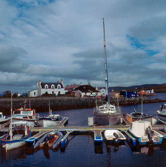
Coastal Marsh, Saltings in Shetland
Scotland
Rotten Shun
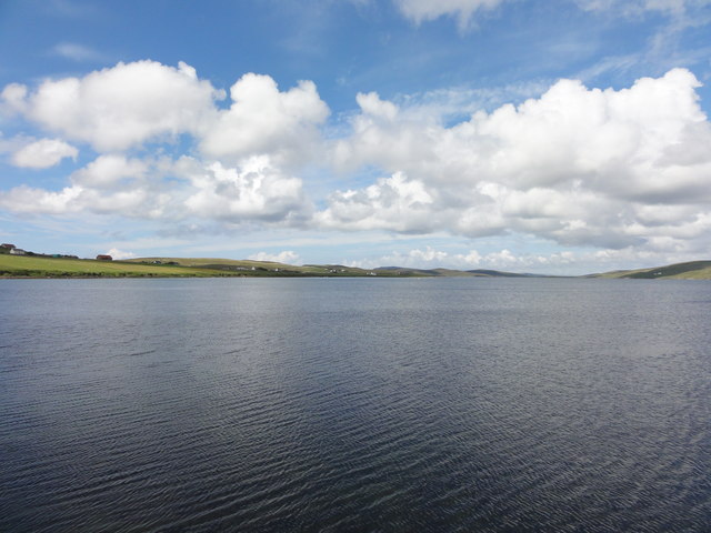
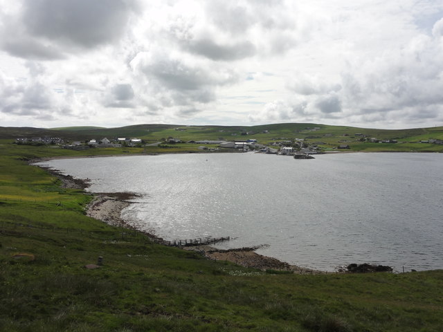
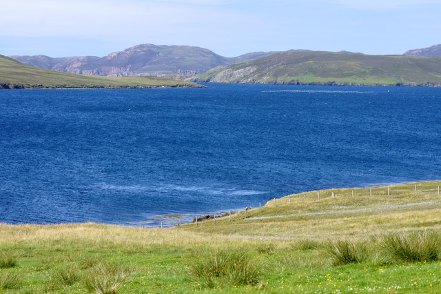
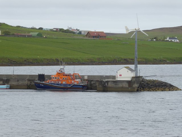
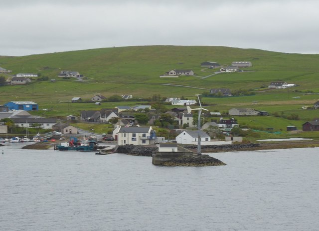
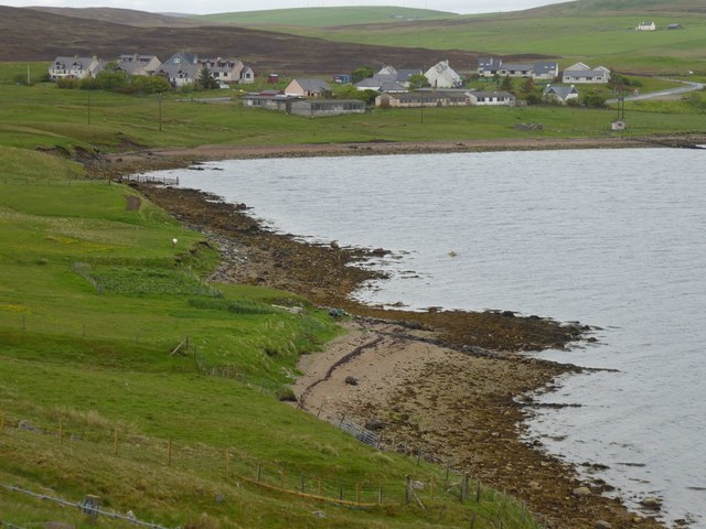
Rotten Shun is a coastal marsh located in Shetland, an archipelago in Scotland. It is known for its unique ecological features, particularly its saltings. Saltings are areas of coastal marshes that are regularly flooded by the tides and are typically covered in salt-tolerant plants.
Rotten Shun is characterized by its diverse range of plant and animal species, making it an important site for biodiversity conservation. The marsh is home to various species of birds, including waders such as curlews, sandpipers, and redshanks. These birds rely on the marsh for nesting and feeding, particularly during the breeding season.
The vegetation in Rotten Shun is dominated by saltmarsh grasses and herbs, which are well adapted to the brackish conditions. These plants not only provide a habitat for various invertebrates but also stabilize the marsh sediments, preventing erosion and maintaining the integrity of the ecosystem.
The marsh is influenced by the ebb and flow of the tides, resulting in a dynamic landscape. During high tide, the marsh becomes flooded with saltwater, creating a habitat for fish and other marine organisms. At low tide, the water recedes, exposing mudflats and providing feeding opportunities for birds and wading animals.
Rotten Shun is a designated Site of Special Scientific Interest (SSSI) and is managed by local conservation organizations. Access to the marsh is limited to protect the delicate ecosystem, but visitors can observe the marsh from designated viewpoints and walking trails nearby.
Overall, Rotten Shun is a unique coastal marsh in Shetland, offering valuable habitats for a range of plant and animal species and providing opportunities for nature enthusiasts to appreciate its ecological significance.
If you have any feedback on the listing, please let us know in the comments section below.
Rotten Shun Images
Images are sourced within 2km of 60.286298/-1.3777377 or Grid Reference HU3455. Thanks to Geograph Open Source API. All images are credited.
Rotten Shun is located at Grid Ref: HU3455 (Lat: 60.286298, Lng: -1.3777377)
Unitary Authority: Shetland Islands
Police Authority: Highlands and Islands
What 3 Words
///examiner.solves.accordion. Near Aith, Shetland Islands
Nearby Locations
Related Wikis
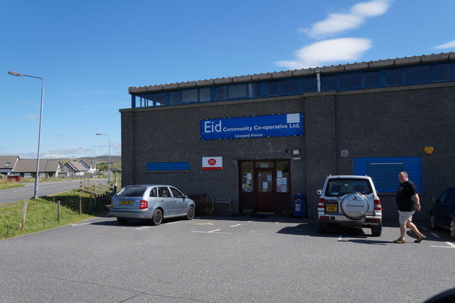
Aith
Aith, (Shetland dialect: Eid, Old Norse: Eið, meaning Isthmus, cf Eday), is a village on the Northern coast of the West Shetland Mainland, Scotland at...

Braewick, Sandsting
Braewick is a settlement on the west Mainland of Shetland, Scotland. Braewick is on the western shore of Aith Voe and 1.2 mi (2 km) north of Aith itself...
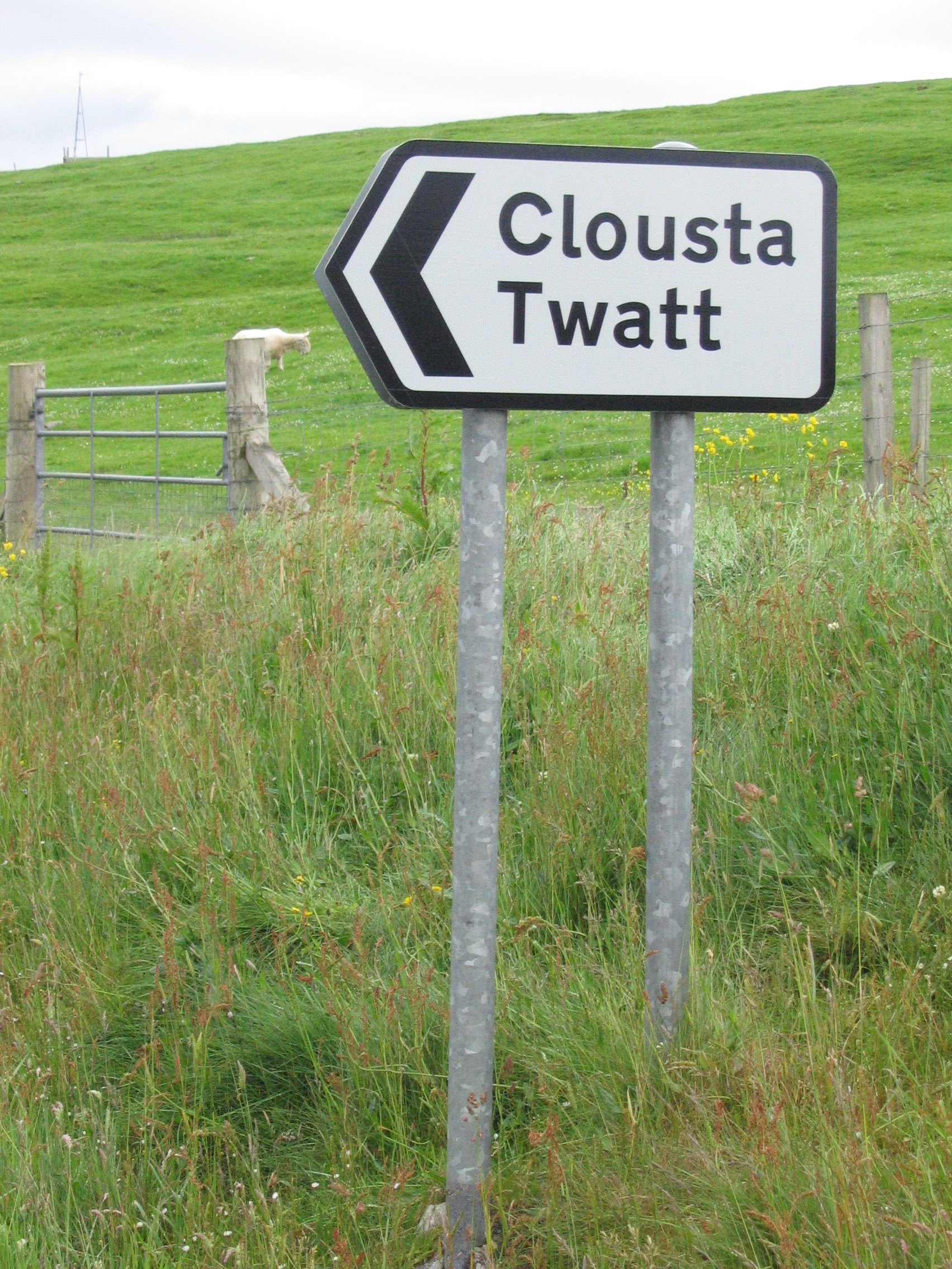
Twatt, Shetland
Twatt is a settlement in the Shetland Islands of Scotland. It is located on the Shetland Mainland on a minor road that leads from the A971 road to Clousta...

Clousta
Clousta is a hamlet on Mainaland, in the island's west, Shetland, Scotland. Approximately seventy people live here, many of whom are commuters, but local...

Bixter
Bixter is a village on the west side of the Shetland Islands, located more than 160 km (99 mi) off the north coast of mainland Scotland. Bixter is a group...

Mainland, Shetland
The Mainland is the main island of Shetland, Scotland. The island contains Shetland's only burgh, Lerwick, and is the centre of Shetland's ferry and air...
Park Hall, Shetland
Park Hall is a derelict laird's house situated west of the village of Bixter, in the parish of Sandsting on the Mainland of Shetland, Scotland. It has...

Westerfield, Shetland
Westerfield is a coastal community on Mainland, in Shetland, Scotland. The community is within the parish of Sandsting.It lies to the west of Tresta on...
Nearby Amenities
Located within 500m of 60.286298,-1.3777377Have you been to Rotten Shun?
Leave your review of Rotten Shun below (or comments, questions and feedback).