Point of Ayres

Coastal Marsh, Saltings in Shetland

Scotland

Point of Ayres

Aith Lifeboat and Lifeboat Station, Shetland Islands A view of the Severn Class Aith Lifeboat Charles Lidbury and Lifeboat Station in the background. Currently moored on the deep water jetty in St Magnus Bay. Aith Lifeboat station is the most northerly in the British Isles.
Aith Lifeboat and Lifeboat Station, Shetland Islands Credit: Mr S Mudgey

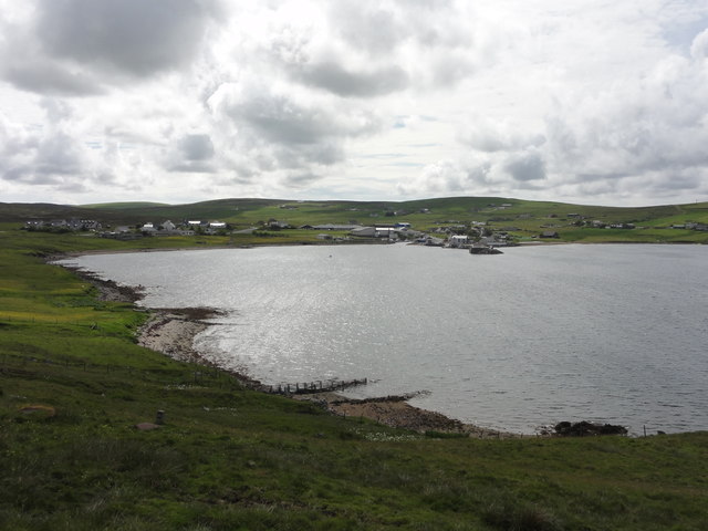
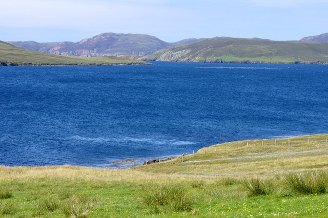
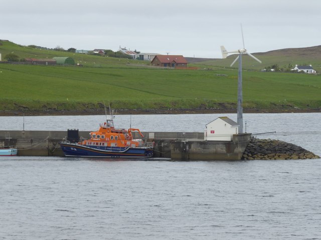
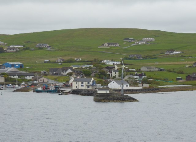
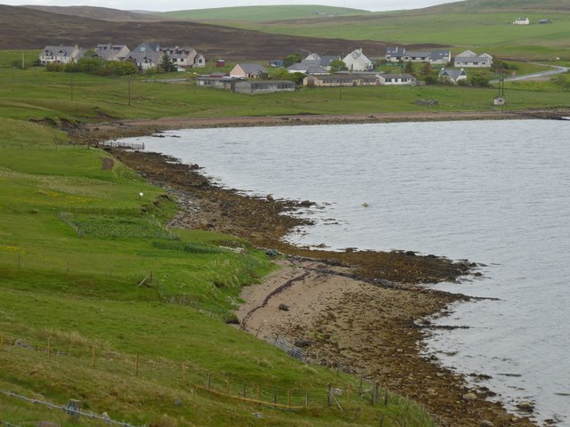
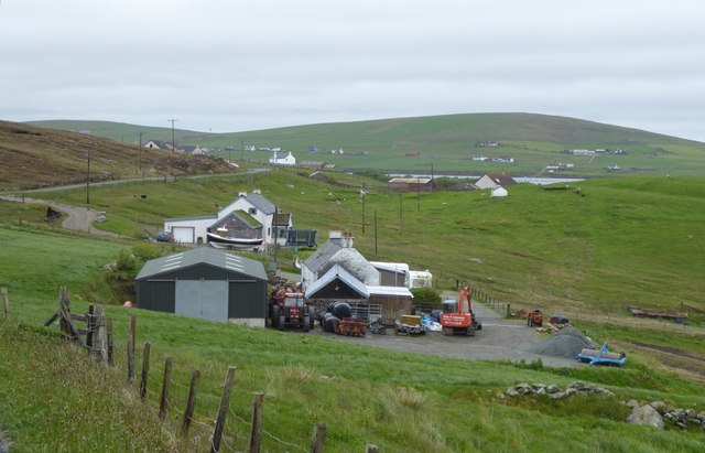
Point of Ayres is a coastal marsh and saltings located in the Shetland Islands, a northern archipelago of Scotland. It is situated on the northeastern coast of the mainland, near the village of Ayres.

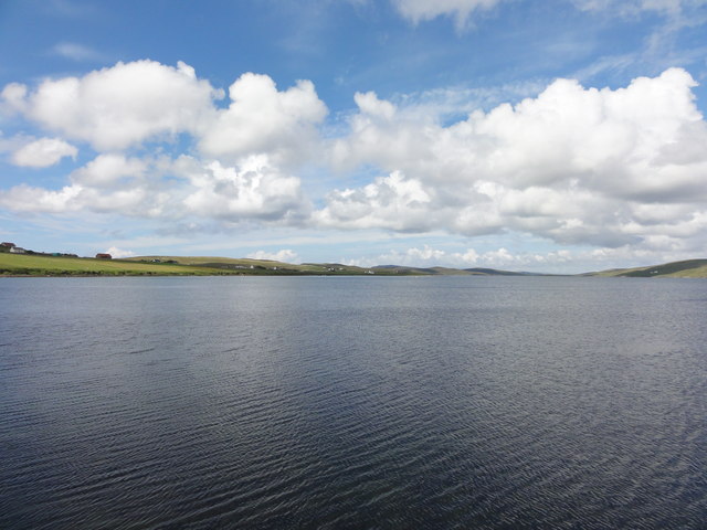
The area is characterized by its unique landscape, consisting of vast stretches of salt marshes and intertidal mudflats. These coastal marshes are formed by the accumulation of sediment and organic matter, creating a diverse ecosystem that supports a wide range of plant and animal life.

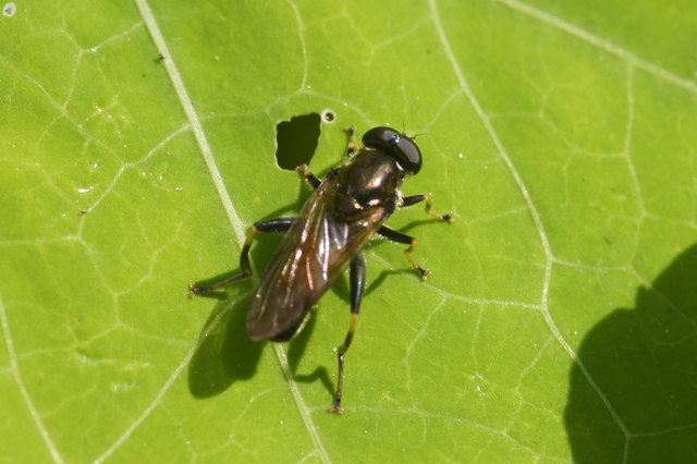
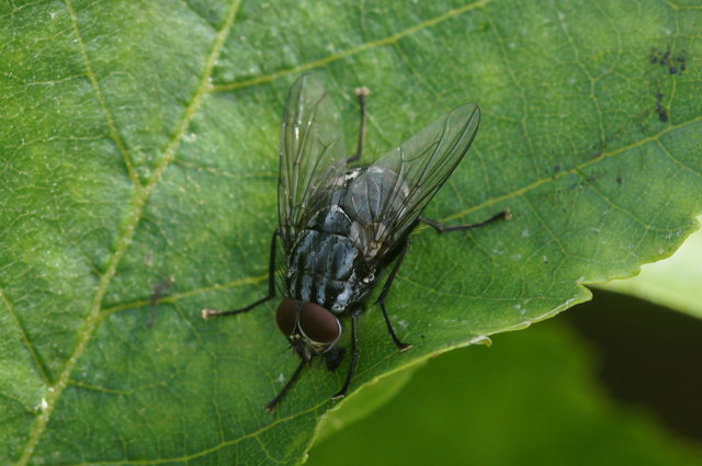
The Point of Ayres is an important site for birdwatching and wildlife observation. The salt marshes provide a rich feeding ground for various species of wading birds, including curlews, oystercatchers, and redshanks. It is also a breeding ground for several species of ducks, geese, and swans.

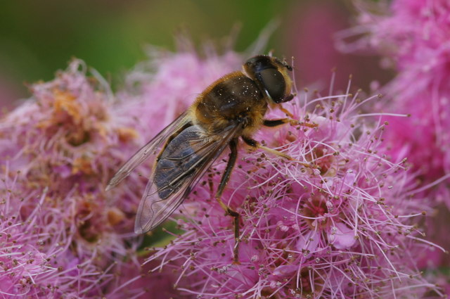
The area is home to a variety of plant species that have adapted to the salt-tolerant conditions of the marshes. Common plants include sea aster, sea lavender, and sea thrift. These plants not only add to the natural beauty of the area but also provide important habitat and food sources for the resident wildlife.

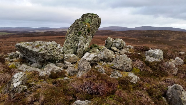
Point of Ayres is also recognized for its geological significance. The exposed cliffs and rock formations along the coastline provide evidence of ancient geological processes, such as erosion and sedimentation, that have shaped the landscape over millions of years.

Visitors to Point of Ayres can enjoy walks along the coastal paths, taking in the breathtaking views of the North Sea and the surrounding islands. The area is also a designated nature reserve, ensuring the protection and preservation of its unique natural features.

If you have any feedback on the listing, please let us know in the comments section below.

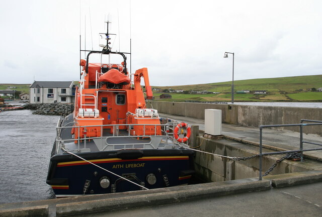
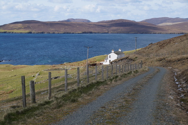
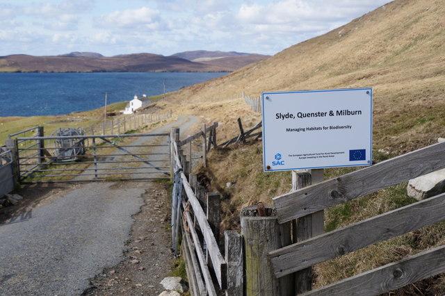
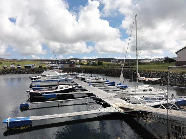
Point of Ayres Images

Images are sourced within 2km of 60.29776/-1.3788225 or Grid Reference HU3457. Thanks to Geograph Open Source API. All images are credited.

Aith Lifeboat and Lifeboat Station, Shetland Islands A view of the Severn Class Aith Lifeboat Charles Lidbury and Lifeboat Station in the background. Currently moored on the deep water jetty in St Magnus Bay. Aith Lifeboat station is the most northerly in the British Isles.
Aith Lifeboat and Lifeboat Station, Shetland Islands
A view of the Severn Class Aith Lifeboat Charles Lidbury and Lifeboat Station in the background. Currently moored on the deep water jetty in St Magnus Bay. Aith Lifeboat station is the most northerly in the British Isles.
Slyde, East Burrafirth House at the end of the road, above Aith Voe.
Slyde, East Burrafirth
House at the end of the road, above Aith Voe.
Sign at East Burrafirth Managing habitats for biodiversity, the sign proclaims.
Sign at East Burrafirth
Managing habitats for biodiversity, the sign proclaims.
Aith Marina The Marina at Aith
Aith Marina
The Marina at Aith
Aith Lifeboat Pier Aith Lifeboat Pier with a commemorative plaque reading that it was opened by HRH Princess of Wales.
Aith Lifeboat Pier
Aith Lifeboat Pier with a commemorative plaque reading that it was opened by HRH Princess of Wales.
Aith Voe View out over Aith Voe from the lifeboat station
Aith Voe
View out over Aith Voe from the lifeboat station
Aith Voe View across Aith Voe
Aith Voe
View across Aith Voe
Eid Community Co-operative Ltd, Aith Eid is the original Viking name for Aith and has been adopted as the name for the local community run shop.
Eid Community Co-operative Ltd, Aith
Eid is the original Viking name for Aith and has been adopted as the name for the local community run shop.
East-the-Voe, Aith Looking towards Muckle Roe.
East-the-Voe, Aith
Looking towards Muckle Roe.
The hoverfly Xylota segnis, East-the-voe, Aith Possibly a recent colonist, the larvae of this hoverfly feed in dead wood, and the species is now fairly widespread in areas with even just a few mature trees on Shetland Mainland.
The hoverfly Xylota segnis, East-the-voe, Aith
Possibly a recent colonist, the larvae of this hoverfly feed in dead wood, and the species is now fairly widespread in areas with even just a few mature trees on Shetland Mainland.
The hoverfly Eristalis pertinax, East-the-voe, Aith A common and widespread species in Shetland.
The hoverfly Eristalis pertinax, East-the-voe, Aith
A common and widespread species in Shetland.
A Polietes fly, East-the-Voe, Aith One of the houseflies (Muscidae).
A Polietes fly, East-the-Voe, Aith
One of the houseflies (Muscidae).
The hoverfly Rhingia campestris, East-the-voe, Aith A common species; covered in pollen and sitting on a Fuchsia flower.
The hoverfly Rhingia campestris, East-the-voe, Aith
A common species; covered in pollen and sitting on a Fuchsia flower.
Langstein Cairn Another ruined cairn within this grid square. This one is listed as being called "The Langstein" in Canmore. The upright stone stands about 5 feet high with the fallen one slightly longer at over 7 feet.
Langstein Cairn
Another ruined cairn within this grid square. This one is listed as being called "The Langstein" in Canmore. The upright stone stands about 5 feet high with the fallen one slightly longer at over 7 feet.
Aith Lifeboat Station 'Operating for over 80 years, Aith is the most northerly lifeboat station providing protection off Shetland’s sometimes wild Atlantic coast.'  <span class="nowrap"><a title="https://rnli.org/find-my-nearest/lifeboat-stations/aith-lifeboat-station" rel="nofollow ugc noopener" href="https://rnli.org/find-my-nearest/lifeboat-stations/aith-lifeboat-station">Link</a><img style="margin-left:2px;" alt="External link" title="External link - shift click to open in new window" src="https://s1.geograph.org.uk/img/external.png" width="10" height="10"/></span>
At the head of Aith Voe.
Aith Lifeboat Station
'Operating for over 80 years, Aith is the most northerly lifeboat station providing protection off Shetland’s sometimes wild Atlantic coast.' LinkExternal link At the head of Aith Voe.
Wind turbine on the end of the pier At Aith. The lifeboat is absent.
Wind turbine on the end of the pier
At Aith. The lifeboat is absent.
Beach at Punds With Aith across the voe.
Beach at Punds
With Aith across the voe.
Crofts overlooking East Burra Firth With Aith Voe just visible in the distance.
Crofts overlooking East Burra Firth
With Aith Voe just visible in the distance.
Show me another place!

Point of Ayres is located at Grid Ref: HU3457 (Lat: 60.29776, Lng: -1.3788225)

Unitary Authority: Shetland Islands

Police Authority: Highlands and Islands

What 3 Words

///bleaker.urge.sandals. Near Aith, Shetland Islands

Related Wikis

Braewick, Sandsting

Braewick is a settlement on the west Mainland of Shetland, Scotland. Braewick is on the western shore of Aith Voe and 1.2 mi (2 km) north of Aith itself...

Aith

Aith, (Shetland dialect: Eid, Old Norse: Eið, meaning Isthmus, cf Eday), is a village on the Northern coast of the West Shetland Mainland, Scotland at...

Clousta

Clousta is a hamlet on Mainaland, in the island's west, Shetland, Scotland. Approximately seventy people live here, many of whom are commuters, but local...

Papa Little

Papa Little (Scots: Papa Little; Old Norse: Papey Litla, meaning "the little island of the priests") is an island in St Magnus Bay, Shetland, Scotland...
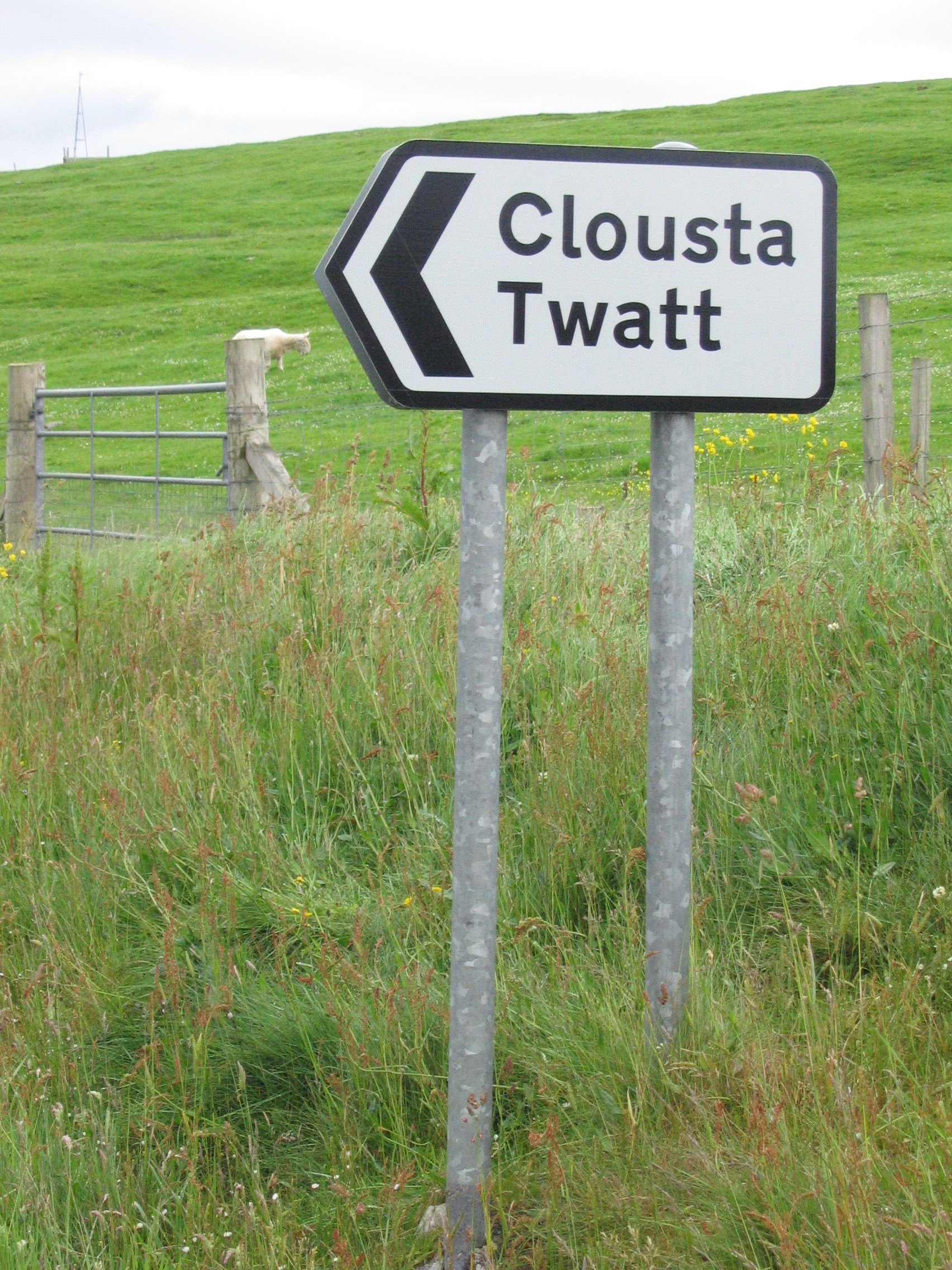
Twatt, Shetland

Twatt is a settlement in the Shetland Islands of Scotland. It is located on the Shetland Mainland on a minor road that leads from the A971 road to Clousta...

Mainland, Shetland

The Mainland is the main island of Shetland, Scotland. The island contains Shetland's only burgh, Lerwick, and is the centre of Shetland's ferry and air...

Shetland

Shetland, also called the Shetland Islands and formerly Zetland, is an archipelago in Scotland lying between Orkney, the Faroe Islands, and Norway. It...

Bixter

Bixter is a village on the west side of the Shetland Islands, located more than 160 km (99 mi) off the north coast of mainland Scotland. Bixter is a group...

Nearby Amenities

Located within 500m of 60.29776,-1.3788225
Power: pole
Lat/Long: 60.2994951/-1.386336
Power: pole
Lat/Long: 60.2988471/-1.3859016
Power: pole
Lat/Long: 60.2982117/-1.3854533
Power: pole
Lat/Long: 60.2975293/-1.385005
Power: pole
Lat/Long: 60.2965767/-1.385012
Power: pole
Lat/Long: 60.295655/-1.3850212
Power: pole
Lat/Long: 60.2947161/-1.3850258
Power: pole
Lat/Long: 60.300577/-1.3848895
Power: pole
Lat/Long: 60.3003091/-1.3843049
Power: pole
Lat/Long: 60.2972889/-1.381435
Power: pole
Lat/Long: 60.2973759/-1.382595
Power: pole
Lat/Long: 60.2974469/-1.3838058
The data included in this document is from www.openstreetmap.org. The data is made available under ODbL.

Have you been to Point of Ayres?

Leave your review of Point of Ayres below (or comments, questions and feedback).