Waari Geo

Coastal Feature, Headland, Point in Shetland

Scotland

Waari Geo

Aith Lifeboat and Lifeboat Station, Shetland Islands A view of the Severn Class Aith Lifeboat Charles Lidbury and Lifeboat Station in the background. Currently moored on the deep water jetty in St Magnus Bay. Aith Lifeboat station is the most northerly in the British Isles.
Aith Lifeboat and Lifeboat Station, Shetland Islands Credit: Mr S Mudgey

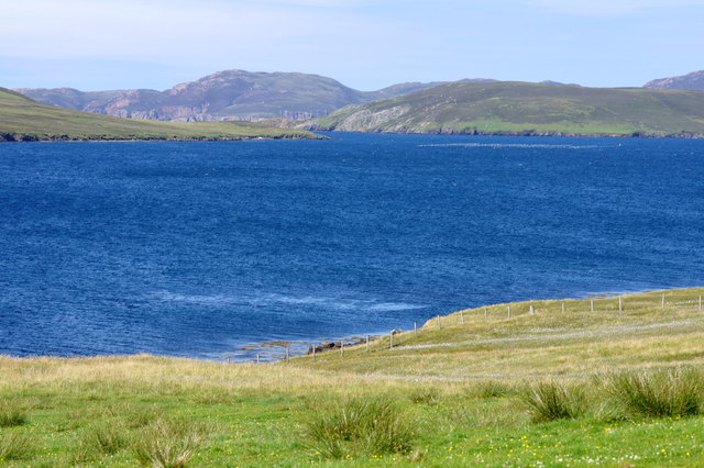
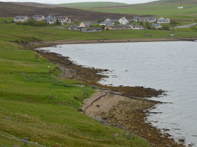
Waari Geo is a prominent coastal feature located in the Shetland Islands, Scotland. It is classified as a headland, also known as a point, and is situated on the eastern coast of the Mainland, the largest island in the Shetland archipelago.

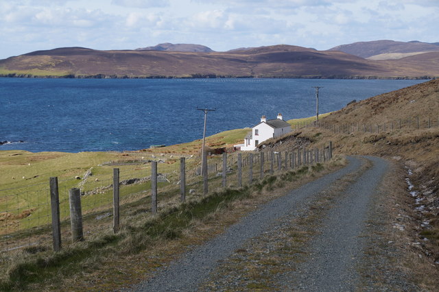
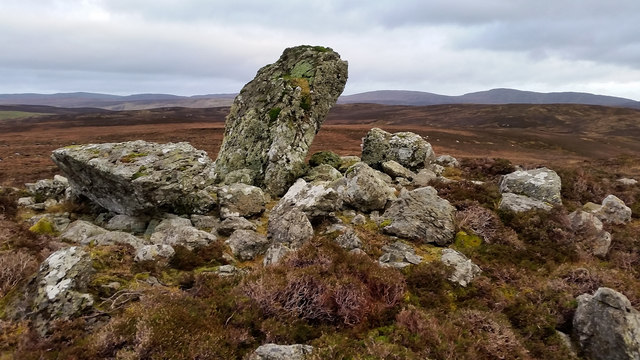
This captivating landform is characterized by its sheer cliffs, towering over the surrounding waters. The cliffs are composed of rugged, layered rock formations, which showcase the geological history of the region. The layers of sedimentary rocks, such as sandstone and shale, provide insights into the area's ancient past.

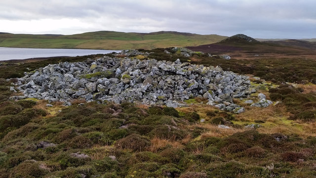
The name "Waari Geo" is derived from Old Norse and reflects the Viking heritage of the Shetland Islands. "Waari" means "cairn" in Old Norse, possibly indicating the presence of a burial mound or a significant landmark in the area.

The headland offers breathtaking views of the North Sea and the surrounding coastal landscape. It is a popular spot for nature enthusiasts, hikers, and photographers who are drawn to its dramatic cliffs and the diverse array of seabirds that nest in the area. Bird species such as puffins, fulmars, and guillemots can be observed in their natural habitat, providing a unique and captivating wildlife experience.

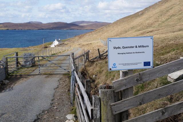
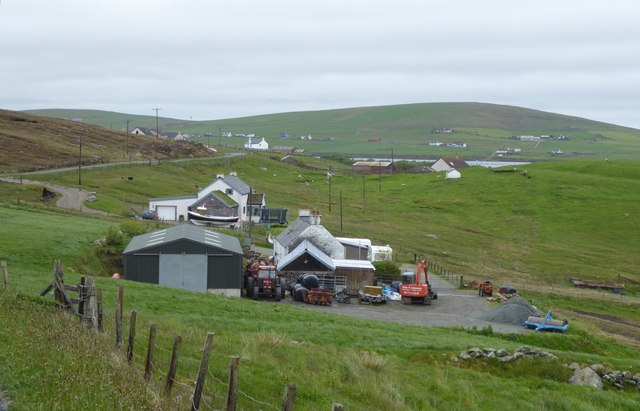
Visitors to Waari Geo can also enjoy the coastal walks that meander along the cliffs, providing access to other notable landmarks in the vicinity, such as the Sumburgh Head Lighthouse. The area is home to a rich variety of flora and fauna, with heather, grasses, and wildflowers flourishing on the headland.

Overall, Waari Geo is a remarkable coastal feature that showcases the natural beauty and geological significance of the Shetland Islands, making it a must-visit destination for nature enthusiasts and those seeking to immerse themselves in the stunning Scottish landscape.

If you have any feedback on the listing, please let us know in the comments section below.

Waari Geo Images

Images are sourced within 2km of 60.301578/-1.384938 or Grid Reference HU3457. Thanks to Geograph Open Source API. All images are credited.

Aith Lifeboat and Lifeboat Station, Shetland Islands A view of the Severn Class Aith Lifeboat Charles Lidbury and Lifeboat Station in the background. Currently moored on the deep water jetty in St Magnus Bay. Aith Lifeboat station is the most northerly in the British Isles.
Aith Lifeboat and Lifeboat Station, Shetland Islands
A view of the Severn Class Aith Lifeboat Charles Lidbury and Lifeboat Station in the background. Currently moored on the deep water jetty in St Magnus Bay. Aith Lifeboat station is the most northerly in the British Isles.
Slyde, East Burrafirth House at the end of the road, above Aith Voe.
Slyde, East Burrafirth
House at the end of the road, above Aith Voe.
Sign at East Burrafirth Managing habitats for biodiversity, the sign proclaims.
Sign at East Burrafirth
Managing habitats for biodiversity, the sign proclaims.
Aith Marina The Marina at Aith
Aith Marina
The Marina at Aith
Aith Lifeboat Pier Aith Lifeboat Pier with a commemorative plaque reading that it was opened by HRH Princess of Wales.
Aith Lifeboat Pier
Aith Lifeboat Pier with a commemorative plaque reading that it was opened by HRH Princess of Wales.
Aith Voe View out over Aith Voe from the lifeboat station
Aith Voe
View out over Aith Voe from the lifeboat station
Aith Voe View across Aith Voe
Aith Voe
View across Aith Voe
East-the-Voe, Aith Looking towards Muckle Roe.
East-the-Voe, Aith
Looking towards Muckle Roe.
The hoverfly Xylota segnis, East-the-voe, Aith Possibly a recent colonist, the larvae of this hoverfly feed in dead wood, and the species is now fairly widespread in areas with even just a few mature trees on Shetland Mainland.
The hoverfly Xylota segnis, East-the-voe, Aith
Possibly a recent colonist, the larvae of this hoverfly feed in dead wood, and the species is now fairly widespread in areas with even just a few mature trees on Shetland Mainland.
The hoverfly Eristalis pertinax, East-the-voe, Aith A common and widespread species in Shetland.
The hoverfly Eristalis pertinax, East-the-voe, Aith
A common and widespread species in Shetland.
A Polietes fly, East-the-Voe, Aith One of the houseflies (Muscidae).
A Polietes fly, East-the-Voe, Aith
One of the houseflies (Muscidae).
The hoverfly Rhingia campestris, East-the-voe, Aith A common species; covered in pollen and sitting on a Fuchsia flower.
The hoverfly Rhingia campestris, East-the-voe, Aith
A common species; covered in pollen and sitting on a Fuchsia flower.
Gunnie's Grave A chambered cairn known as Gunnie's Grave on the north side of the Loch of Vaara.
Gunnie's Grave
A chambered cairn known as Gunnie's Grave on the north side of the Loch of Vaara.
Langstein Cairn Another ruined cairn within this grid square. This one is listed as being called "The Langstein" in Canmore. The upright stone stands about 5 feet high with the fallen one slightly longer at over 7 feet.
Langstein Cairn
Another ruined cairn within this grid square. This one is listed as being called "The Langstein" in Canmore. The upright stone stands about 5 feet high with the fallen one slightly longer at over 7 feet.
Aith Lifeboat Station 'Operating for over 80 years, Aith is the most northerly lifeboat station providing protection off Shetland’s sometimes wild Atlantic coast.'  <span class="nowrap"><a title="https://rnli.org/find-my-nearest/lifeboat-stations/aith-lifeboat-station" rel="nofollow ugc noopener" href="https://rnli.org/find-my-nearest/lifeboat-stations/aith-lifeboat-station">Link</a><img style="margin-left:2px;" alt="External link" title="External link - shift click to open in new window" src="https://s1.geograph.org.uk/img/external.png" width="10" height="10"/></span>
At the head of Aith Voe.
Aith Lifeboat Station
'Operating for over 80 years, Aith is the most northerly lifeboat station providing protection off Shetland’s sometimes wild Atlantic coast.' LinkExternal link At the head of Aith Voe.
Wind turbine on the end of the pier At Aith. The lifeboat is absent.
Wind turbine on the end of the pier
At Aith. The lifeboat is absent.
Beach at Punds With Aith across the voe.
Beach at Punds
With Aith across the voe.
Crofts overlooking East Burra Firth With Aith Voe just visible in the distance.
Crofts overlooking East Burra Firth
With Aith Voe just visible in the distance.
Show me another place!

Waari Geo is located at Grid Ref: HU3457 (Lat: 60.301578, Lng: -1.384938)

Unitary Authority: Shetland Islands

Police Authority: Highlands and Islands

What 3 Words

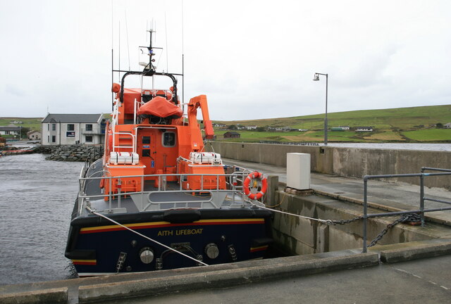
///wanting.coasters.fools. Near Aith, Shetland Islands

Related Wikis

Braewick, Sandsting

Braewick is a settlement on the west Mainland of Shetland, Scotland. Braewick is on the western shore of Aith Voe and 1.2 mi (2 km) north of Aith itself...
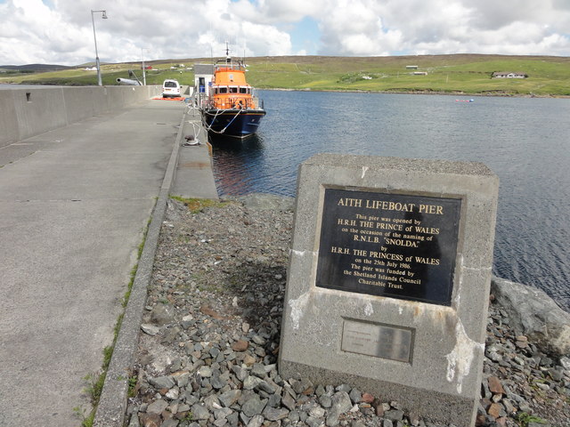
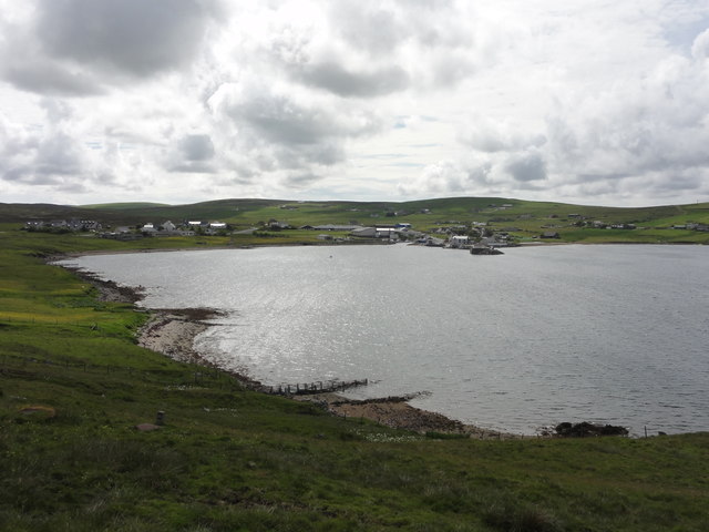
Aith

Aith, (Shetland dialect: Eid, Old Norse: Eið, meaning Isthmus, cf Eday), is a village on the Northern coast of the West Shetland Mainland, Scotland at...

Clousta

Clousta is a hamlet on Mainaland, in the island's west, Shetland, Scotland. Approximately seventy people live here, many of whom are commuters, but local...

Papa Little

Papa Little (Scots: Papa Little; Old Norse: Papey Litla, meaning "the little island of the priests") is an island in St Magnus Bay, Shetland, Scotland...
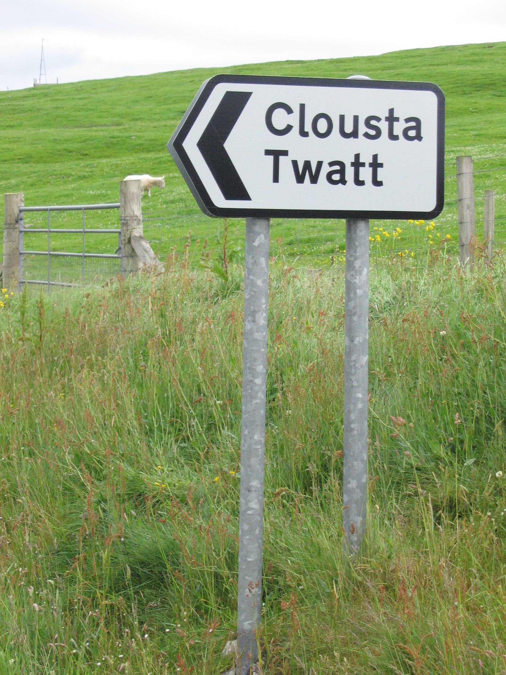
Twatt, Shetland

Twatt is a settlement in the Shetland Islands of Scotland. It is located on the Shetland Mainland on a minor road that leads from the A971 road to Clousta...
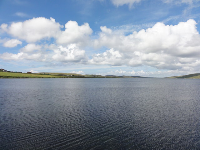
Shetland

Shetland, also called the Shetland Islands and formerly Zetland, is an archipelago in Scotland lying between Orkney, the Faroe Islands, and Norway. It...

Mainland, Shetland

The Mainland is the main island of Shetland, Scotland. The island contains Shetland's only burgh, Lerwick, and is the centre of Shetland's ferry and air...

Vementry

Vementry (Old Norse: "Vemunðarey") is an uninhabited Scottish island in Shetland on the north side of the West Mainland, lying south of Muckle Roe. �...

Nearby Amenities

Located within 500m of 60.301578,-1.384938
Power: pole
Lat/Long: 60.3042323/-1.391445
Power: pole
Lat/Long: 60.303645/-1.3910984
Power: pole
Lat/Long: 60.3031265/-1.389973
Power: pole
Lat/Long: 60.3025884/-1.3893838
Power: pole
Lat/Long: 60.3018684/-1.388612
Power: pole
Lat/Long: 60.3010017/-1.3876854
Power: pole
Lat/Long: 60.3001866/-1.3868051
Power: pole
Lat/Long: 60.2994951/-1.386336
Power: pole
Lat/Long: 60.2988471/-1.3859016
Power: pole
Lat/Long: 60.2982117/-1.3854533
Power: pole
Lat/Long: 60.2975293/-1.385005
Power: pole
Lat/Long: 60.3023366/-1.3888316
Power: pole
Lat/Long: 60.3040193/-1.3916945
Power: pole
Lat/Long: 60.3021156/-1.3883278
Power: pole
Lat/Long: 60.3005438/-1.3861835
Power: pole
Lat/Long: 60.30083/-1.3856659
Power: pole
Lat/Long: 60.3008804/-1.3855712
Power: pole
Lat/Long: 60.3011838/-1.3862551
Power: pole
Lat/Long: 60.300577/-1.3848895
Power: pole
Lat/Long: 60.3003091/-1.3843049
Power: pole
Lat/Long: 60.2973759/-1.382595
Power: pole
Lat/Long: 60.2974469/-1.3838058
The data included in this document is from www.openstreetmap.org. The data is made available under ODbL.

Have you been to Waari Geo?

Leave your review of Waari Geo below (or comments, questions and feedback).