South Inch
Coastal Marsh, Saltings in Aberdeenshire
Scotland
South Inch
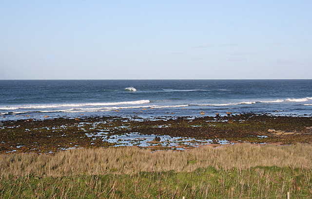
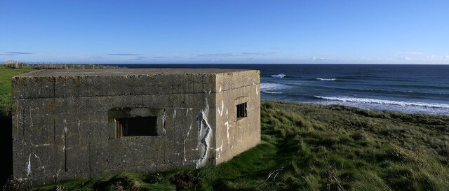
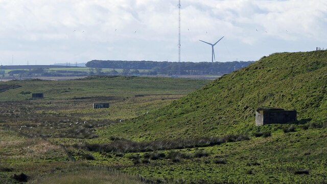
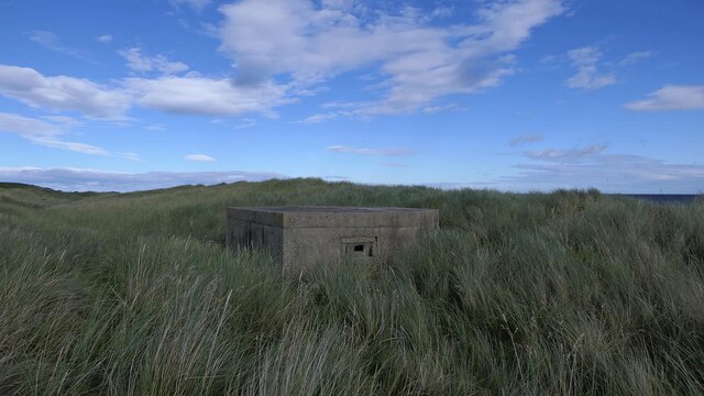
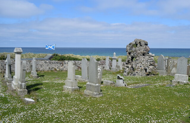
South Inch in Aberdeenshire is a coastal marsh and saltings area located in northeastern Scotland. Situated along the North Sea coast, it covers an expanse of approximately 300 acres and is known for its diverse and unique ecosystem.
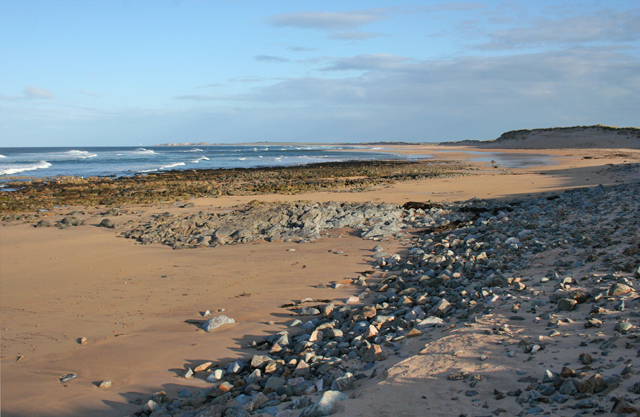
This marshland is characterized by its vast stretches of salt marshes, intertidal mudflats, and salt pans. These geographical features are a result of the tidal influence from the nearby North Sea, which brings in a mix of saltwater and freshwater. The constant ebb and flow of the tides have created a rich habitat for a wide variety of plant and animal species.
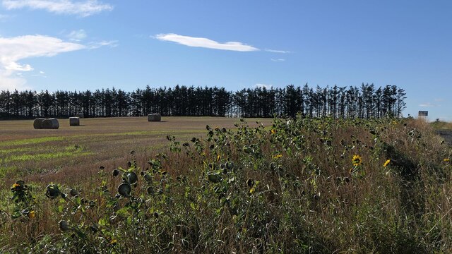
South Inch is home to numerous species of plants that have adapted to the brackish conditions, such as sea lavender, glasswort, and samphire. These plants not only provide essential food and shelter for wildlife but also contribute to the area's scenic beauty with their vibrant colors.
The marshes and mudflats of South Inch serve as a crucial feeding and breeding ground for a plethora of bird species, making it an important site for birdwatching and ornithology. Visitors can spot wading birds like curlews, oystercatchers, and redshanks, as well as migratory birds that stop by during their journeys.
In addition to its ecological significance, South Inch also holds cultural and historical importance. The area has been utilized for centuries for salt production, with evidence of salt pans and salt extraction methods still visible today.
Overall, South Inch in Aberdeenshire offers a unique blend of natural beauty, wildlife diversity, and historical significance, making it a must-visit destination for nature enthusiasts and history buffs alike.
If you have any feedback on the listing, please let us know in the comments section below.
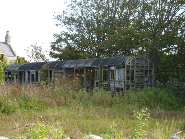
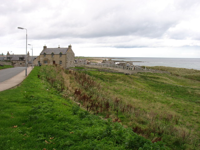
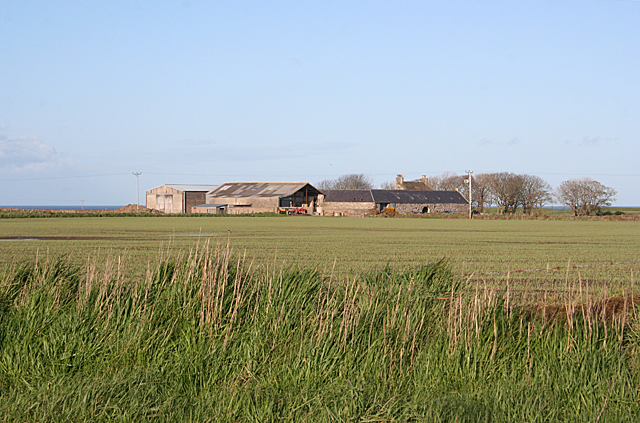
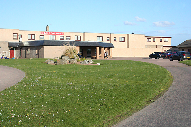
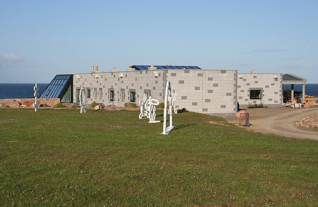
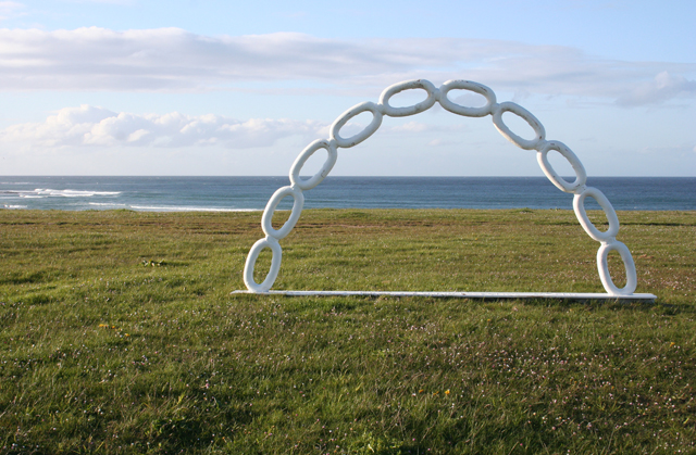
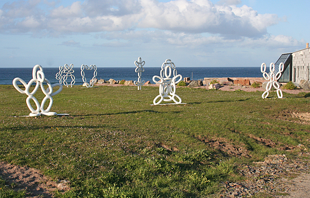
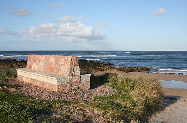
South Inch Images
Images are sourced within 2km of 57.649375/-1.8930629 or Grid Reference NK0662. Thanks to Geograph Open Source API. All images are credited.

South Inch is located at Grid Ref: NK0662 (Lat: 57.649375, Lng: -1.8930629)
Unitary Authority: Aberdeenshire
Police Authority: North East
What 3 Words
///lift.screamed.prowling. Near Fraserburgh, Aberdeenshire
Nearby Locations
Related Wikis

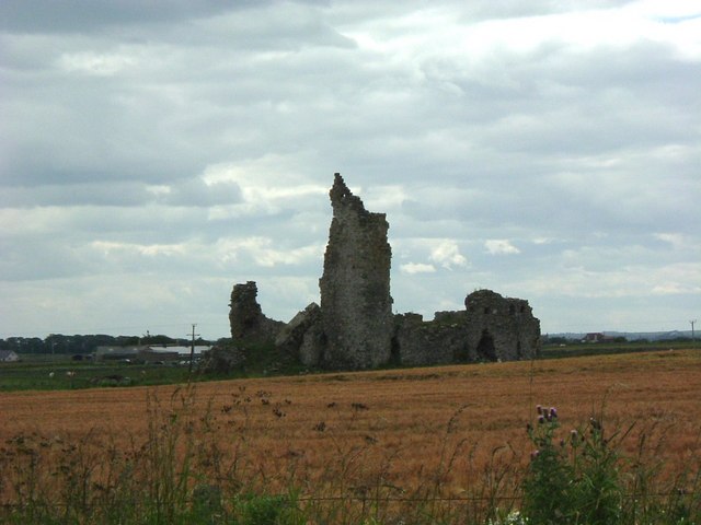
Lonmay Castle
The remains of the Castle of Lonmay are found near Netherton of Lonmay, to the north of Loch Strathbeg in Buchan, Scotland. The remains are not located...

St Combs
St Combs is a small fishing village in Aberdeenshire, Scotland, immediately southeast of Inverallochy. It has existed since at least the 17th century,...
St Combs railway station
St. Combs railway station was a station on the Fraserburgh and St Combs Light Railway, Aberdeenshire. It was opened on 1 July 1903 and stood 5 1⁄8 miles...
Inverallochy Castle
Inverallochy Castle is a ruined courtyard castle, near the village of Inverallochy in the Buchan area of North-East Scotland, dating to 1504. It lies 0...
Nearby Amenities
Located within 500m of 57.649375,-1.8930629Have you been to South Inch?
Leave your review of South Inch below (or comments, questions and feedback).